Description
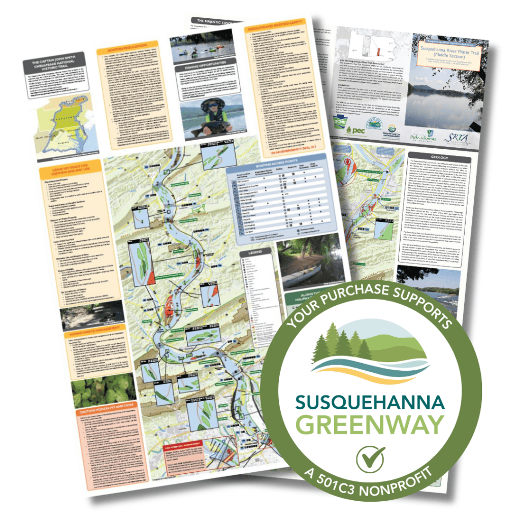
 A Paddler’s Map & Guide to the scenic Susquehanna River from Sunbury to Harrisburg… an island adventure.
This waterproof map guides paddlers down the Middle Section of Pennsylvania’s Susquehanna River Water Trail. It is full of information about the sights along the river corridor, including the river’s islands, some of which are open to camping on this section. The map itself is water resistant, and folds down into an easy-to-transport size. Geographically, the map covers the area of the river from Sunbury (at the Adam T. Bower Memorial Dam) to Harrisburg (Dock Street Dam), with one side showing Sunbury to Millersburg and the other side depicting Liverpool to Harrisburg.
The Susquehanna River Trail Association manages this section of the river. For more information or to learn more about the camping islands, please visit their website here. You may also read an article about the island campsites here.


