Description
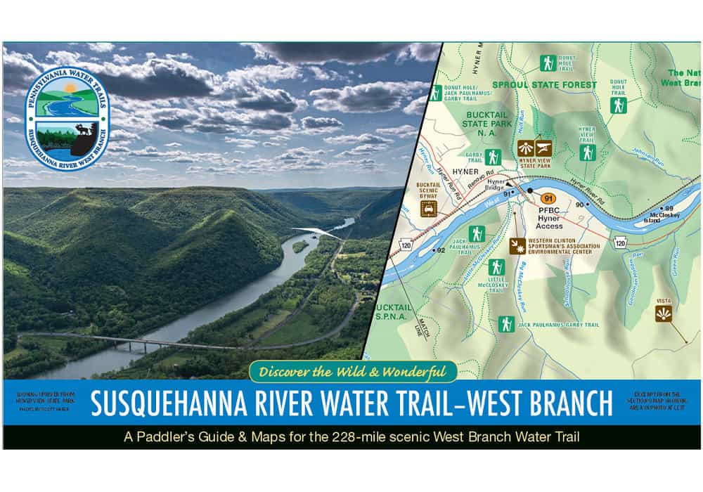
 A Paddler’s Guide & Maps for the 228-mile scenic West Branch Water Trail.
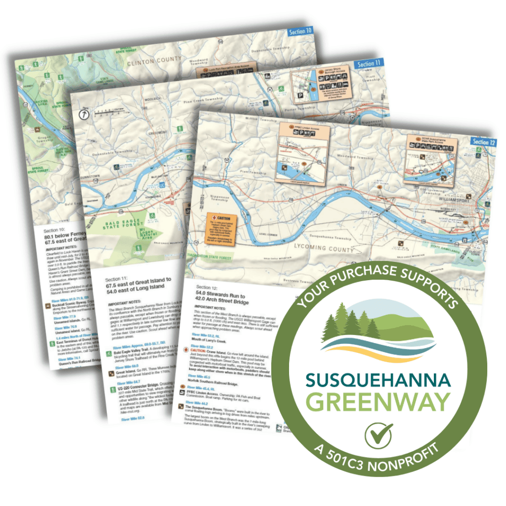
This series of waterproof folding panels showcases the West Branch Section of Pennsylvania’s Susquehanna River Water Trail. It is a key resource to help guide paddlers as they explore the winding waters of the West Branch. The newly updated maps include a detailed inventory of boat launches and river features, as well as information about the unique history and ecology of this branch–from its iconic lumber heritage to its wild elk herd. As the longest section of the river in Pennsylvania, this 228-mile stretch flows from Cherry Tree, PA to Northumberland, PA, where it meets with the main stem of the Susquehanna River.
While following the West Branch Water Trail, you can see the remnants of past logging—the small streams that once powered family saw mills, the “rafting points” used by river pilots to navigate the dangerous waters, and ribbons of long abandoned logging railroads. You can also enjoy what forest conservation and today’s managed forest practices have left us: mile after mile of forested valleys; deer, bear, elk, and birds in abundance; and water quality that is continually improving.
SGP, as the manager of the West Branch Water Trail, released this update of the map and guide in 2022. The 16 waterproof map panels are easy to use and can withstand the elements of any paddle, the accompanying guide is water resistant. Learn more about the update here. Or click here to learn more about the West Branch. The West Branch overlaps with the PA Wilds and Lumber Heritage Region.
The map portion of this publication is also available for digital download by clicking here.