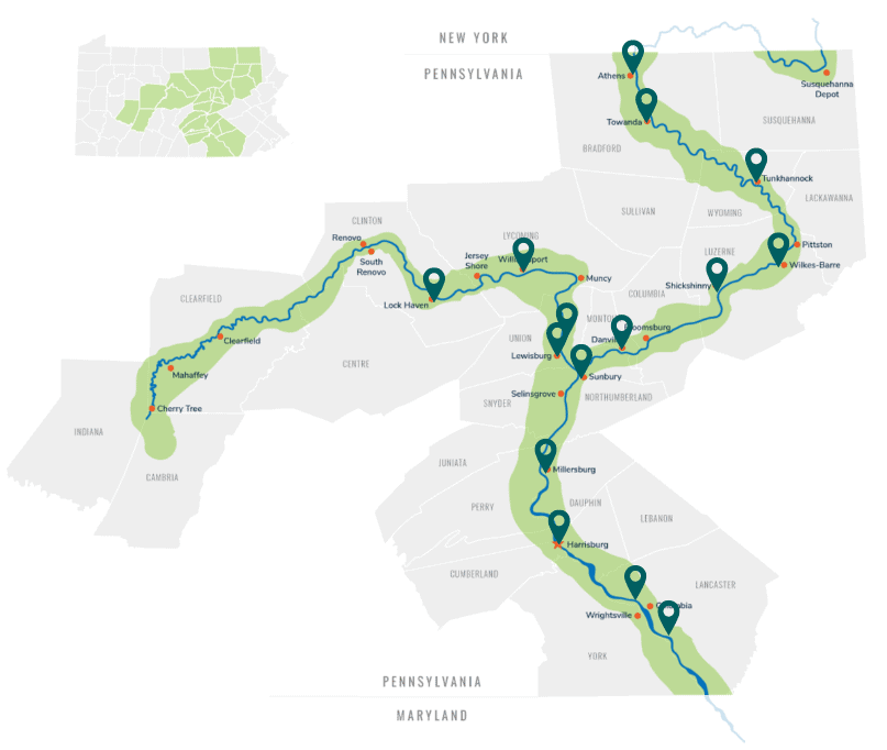
 The Susquehanna Greenway is a 500-mile corridor full of opportunities to explore the outdoors. Included within that network are many options for trails that offer a fairly level grade and accessibility perfect for seniors, strollers, wheelchairs, and families just looking for an easy walk.
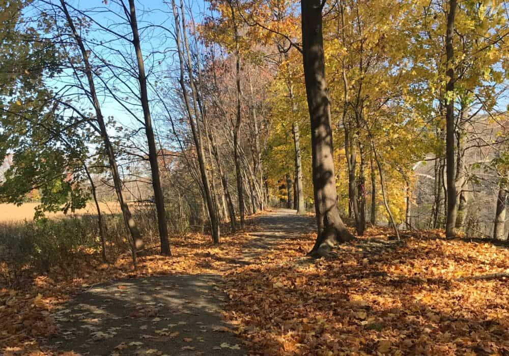
Below is a list of trails that fit the bill for a leisurely stroll, many with Susquehanna River views. It could not be easier to explore the outdoors in our beautiful Susquehanna Greenway!
Diahoga Trail
This 1.5-mile nature trail runs between the Susquehanna Greenway River Towns of Athens & Sayre. There is a slight incline, but the forested and paved path offers a pleasant environment and is wheelchair accessible.
Learn More
Towanda River Walk
Enjoy a relaxing stroll along this 1-mile river walk in Towanda, PA. The path is level, paved, wheelchair accessible, and offers scenic views of the North Branch Susquehanna River. Biking is not allowed on this trail, making it an ideal path for stroller, wheelchair, and foot traffic.
Learn More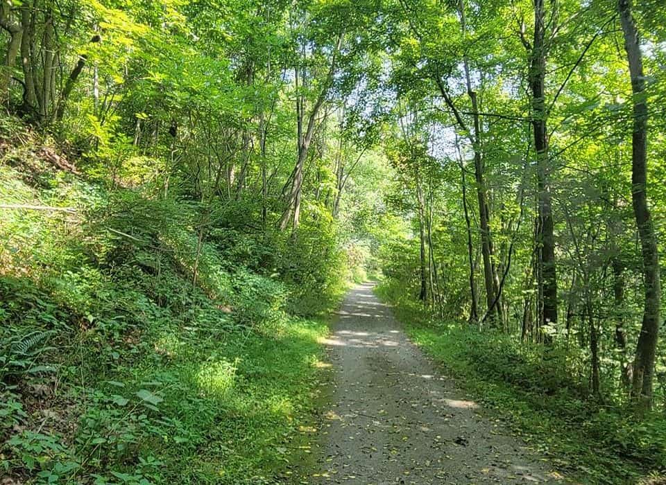
Iroquois Trail
This 3.6-mile (out-and-back) scenic trail follows the route of the old Lehigh Valley Railroad’s Montrose Branch through the Susquehanna Greenway River Town of Tunkhannock. The gravel path is level and wheelchair accessible, passing through the forests of hemlocks and hardwoods, amidst moss and white lichen-covered rocks.
Learn More
Luzerne County Levee Trail
Also known as the Susquehanna River Commons, the Luzerne County Levee Trail is a 12-mile paved path made up of 4 different reaches on either side of the Susquehanna River, and includes the communities of Wilkes-Barre, Hanover Township, Plymouth, Edwardsville, Kingston, Wyoming, and Forty Fort. It is wheelchair accessible, and users may explore the trail as far as they feel comfortable.
Learn More
Susquehanna Warrior Trail
This 12.5-mile trail runs through forests, parks, and green spaces. At the north end of this trail, you will find one of the country’s few remaining drive-in movie theaters; at the southern end is the Susquehanna Riverlands, a lovely nature park. The path is level and wheelchair accessible, allowing users to explore as far as they feel comfortable.
Learn More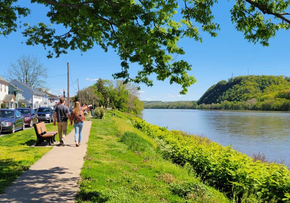
Danville Riverfront Trail
This 1-mile trail runs along the riverside in the Susquehanna Greenway River Town of Danville. It offers stunning views of the North Branch on a sidewalk path. It is level and wheelchair accessible.
Learn More
Sunbury Riverfront Park Trail
This 1-mile wheelchair accessible path traverses the flood wall of Sunbury, PA. It offers pleasant views of Lake Augusta, a seasonal lake on the Susquehanna River created by the the inflatable Adam T. Bower Memorial Dam. As such, users can enjoy watching the boats go by.
Learn More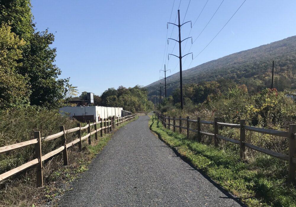
Bald Eagle Valley Rail Trail
The current 6-mile trail (open in sections) is located on the West Branch in Clinton County. The trail follows down a former railroad bed and travels a scenic path alongside the river. It is fairly level and wheelchair accessible.
Learn More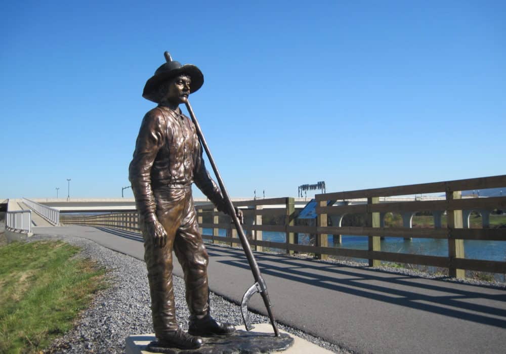
Susquehanna River Walk and Timber Trail
This 4.2-mile trail runs along the West Branch Susquehanna River through Williamsport and takes you through the history of the lumber heritage in the region. This trail is also wheelchair accessible and fairly level making for a lovely stroll any time of day.
Learn More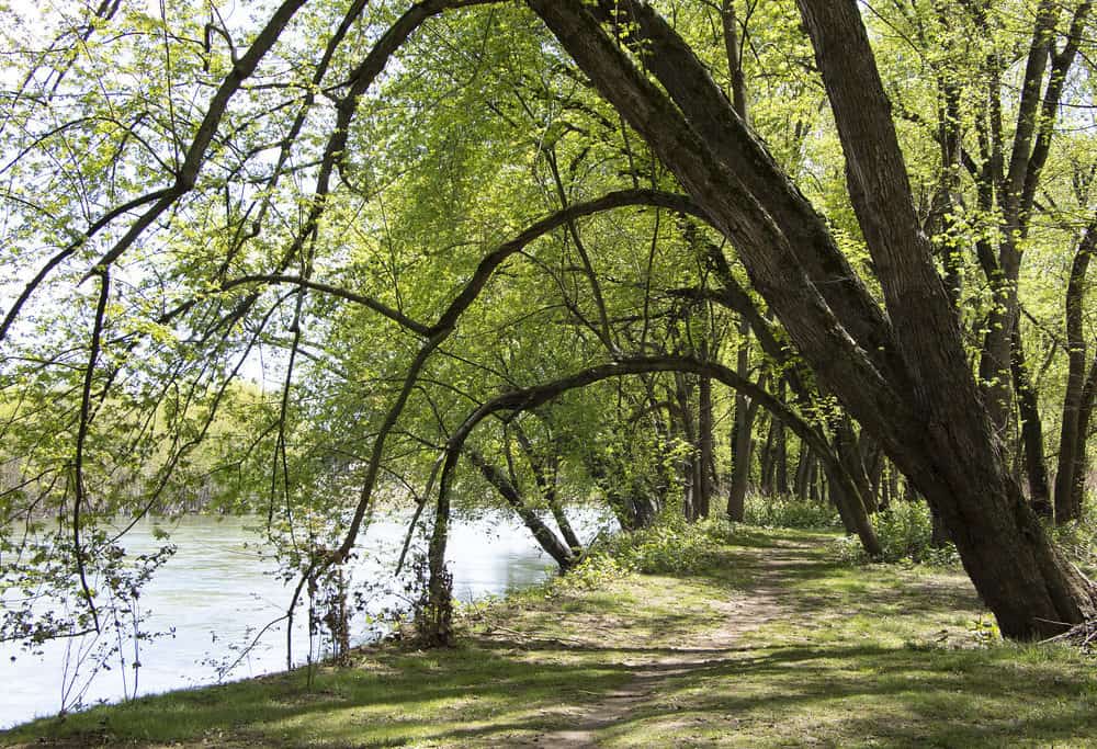
Milton State Park Trails
The 3.5-mile trail network at Milton State Park offers a level path around the soccer fields and a level but more rugged trail around the perimeter of the island on which it is located. The park itself hosts the perfect area for walking, hiking, picnicking, soccer, fishing, and more. The trails are the perfect spot to explore at your own pace and study nature.
Learn More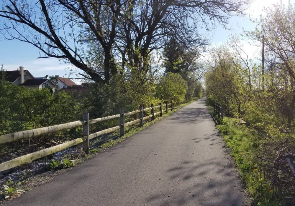
Buffalo Valley Rail Trail
The Buffalo Valley Rail Trail runs 9.5 miles between Lewisburg and Mifflinburg, and interpretive signs relate the region’s history. The trail is mostly paved at both ends but the middle section has a gravel surface, and takes you past scenic fields and farmland. It is book-ended by two craft breweries–The Rusty Rail and Jackass Brewing Company. It is wheelchair accessible, and users may explore as far as they feel comfortable.
Learn More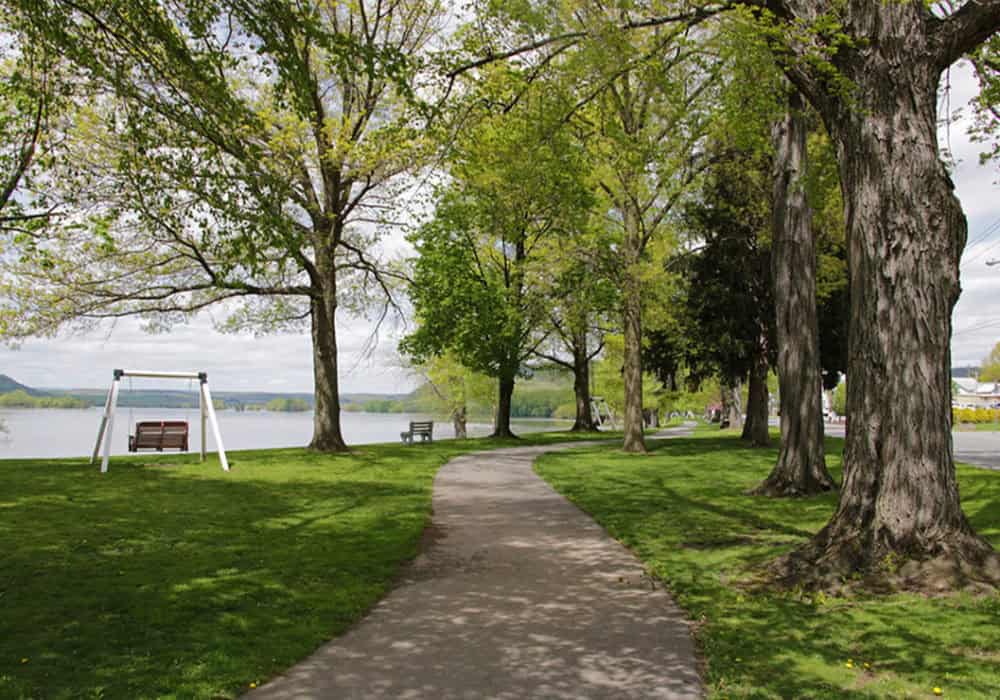
Millersburg Riverfront Park Trail
This scenic riverside park located in Dauphin County offers a lovely 0.5-mile path right alongside the Middle Section of the Susquehanna River. It is level, wheelchair accessible, and is one of the prettiest views on this section of the river. Go for a stroll or sit on a bench swing and watch the boaters go by and the Millersburg Ferry make its crossing.
Learn More
Trails of Wildwood Park
Located in Dauphin County, these trails are collectively 5.5 miles. This park provides a variety of trails to suit different difficulties. There are trails that are also wheelchair accessible making it the perfect activity for any adventurer. Plus, it’s a great spot to catch sight of local wildlife.
Learn More
Capital Area Greenbelt
This 20.9-mile trail circles Harrisburg, the capital city of Pennsylvania. The trail follows the Susquehanna River while passing through parks to make this trail the perfect activity. The trail is paved and wheelchair accessible. This path is perfect for any speed of adventure while also providing you with stunning views of the Susquehanna, especially on the section by the riverfront.
Learn More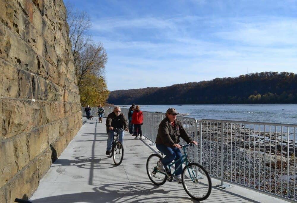
Northwest Lancaster County River Trail
The Northwest Lancaster County River Trail is a 14-mile, multi-use, public recreation trail that meanders along the banks of the Lower Branch of the Susquehanna River. It has several access points and is wheelchair-friendly, offering stunning river views and many historical points of interest right along the trail.
Learn More
Enola Low Grade Trail
The Enola Low-Grade Trail stretches about 29 miles from Conestoga, PA, running along the Susquehanna River, curving inland at Safe Harbor, PA, and stretching all the way to Atglen, PA in southeastern Pennsylvania. It has wheelchair accessible parking and offers scenic river views.
Learn More