
Description
 A Paddler’s Map & Guide to the scenic Susquehanna River from the Harrisburg Area to the Mason-Dixon Line and Maryland.
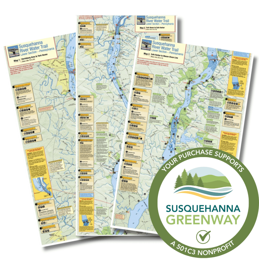
The map and guide of the Lower Section of Pennsylvania’s Susquehanna River Water Trail is a series of three maps that guide paddlers down the Susquehanna River from Harrisburg to the Maryland border. Water resistant and foldable, the maps come in a protective vinyl sleeve. They are full of information about the sights along the river corridor, including boat launches, hazards, and amenities. The maps start just south of Harrisburg (at the Dock Street Dam) and show points down to the Mason-Dixon line. Paddlers will encounter lake-like conditions along much of this section due to the presence of dams. Learn more about paddling the Lower Susquehanna here.
This section of the Water Trail is managed by the Susquehanna National Heritage Area.