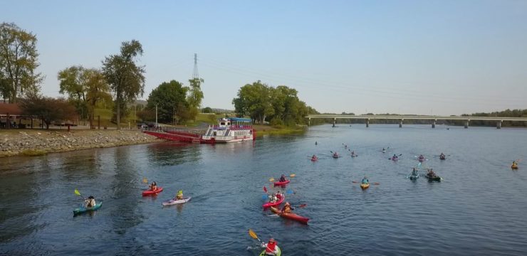
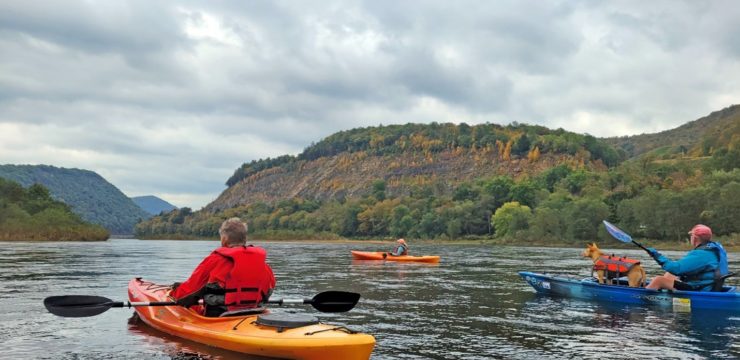
At A Glance
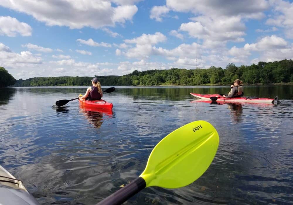
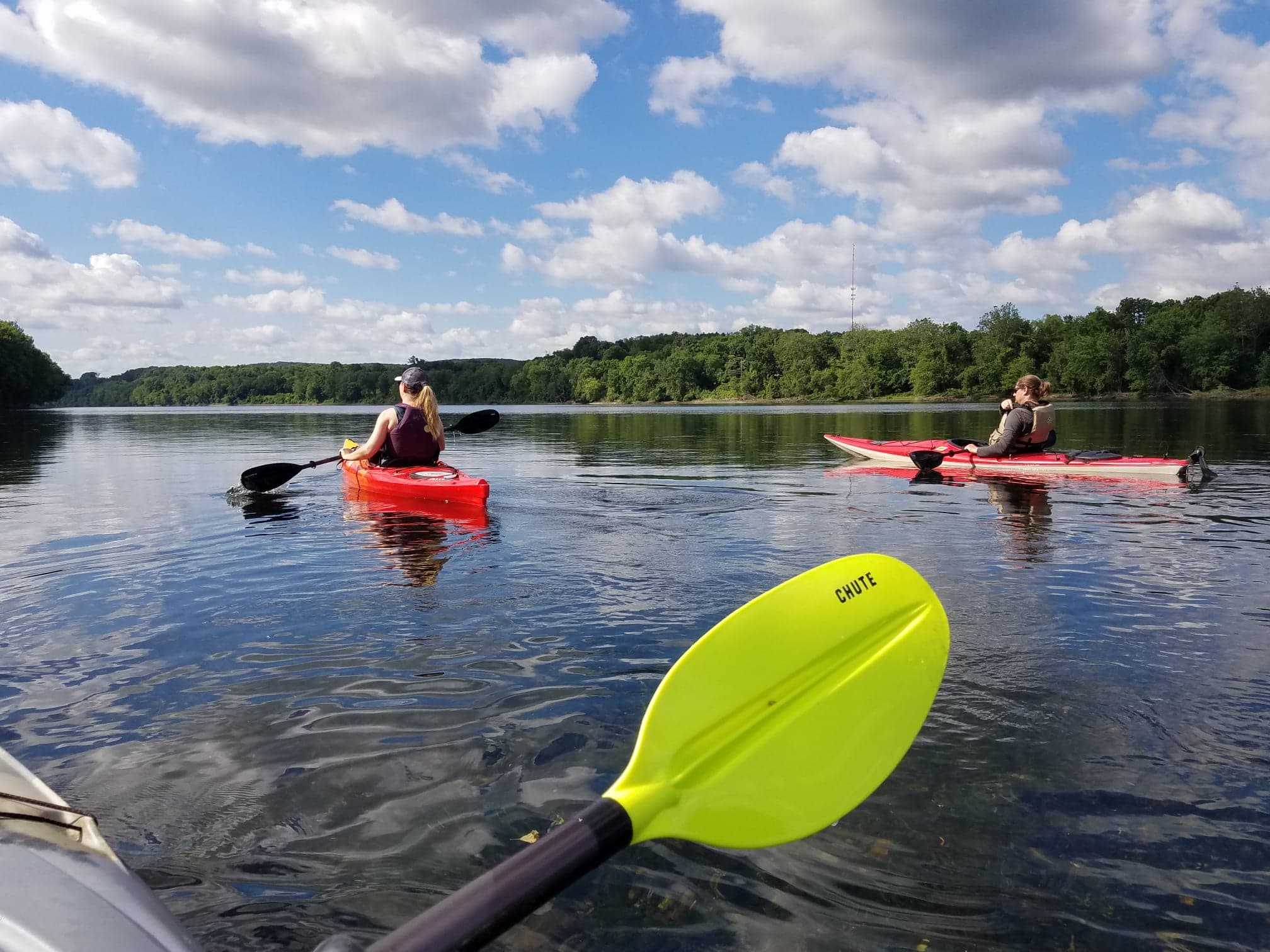
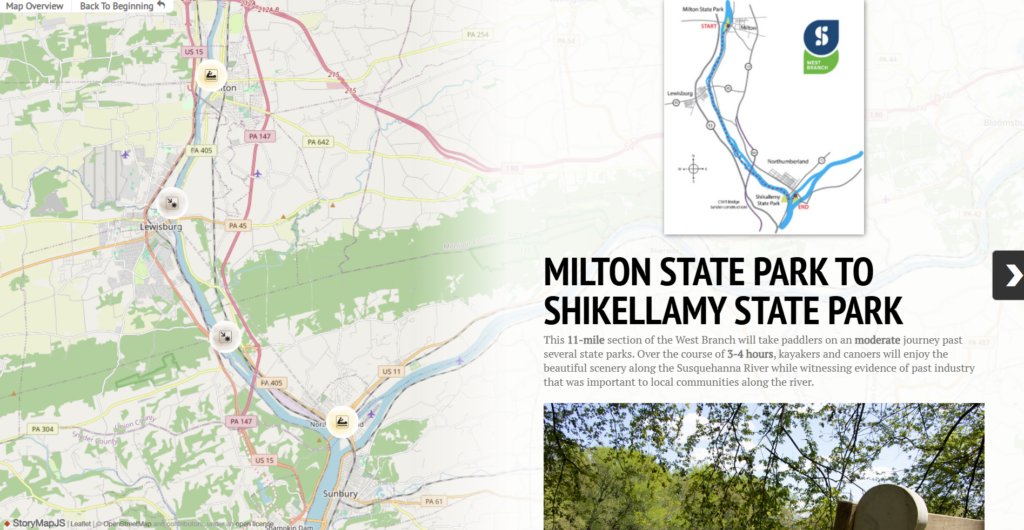
This paddling trip provides a perfect opportunity to explore the iconic West Branch of the Susquehanna River, visit some local state parks, and experience first-hand the confluence of the Susquehanna River branches. The two state parks are located on river islands, and serve as the put in and take out locations for this journey.
Description
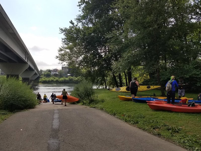
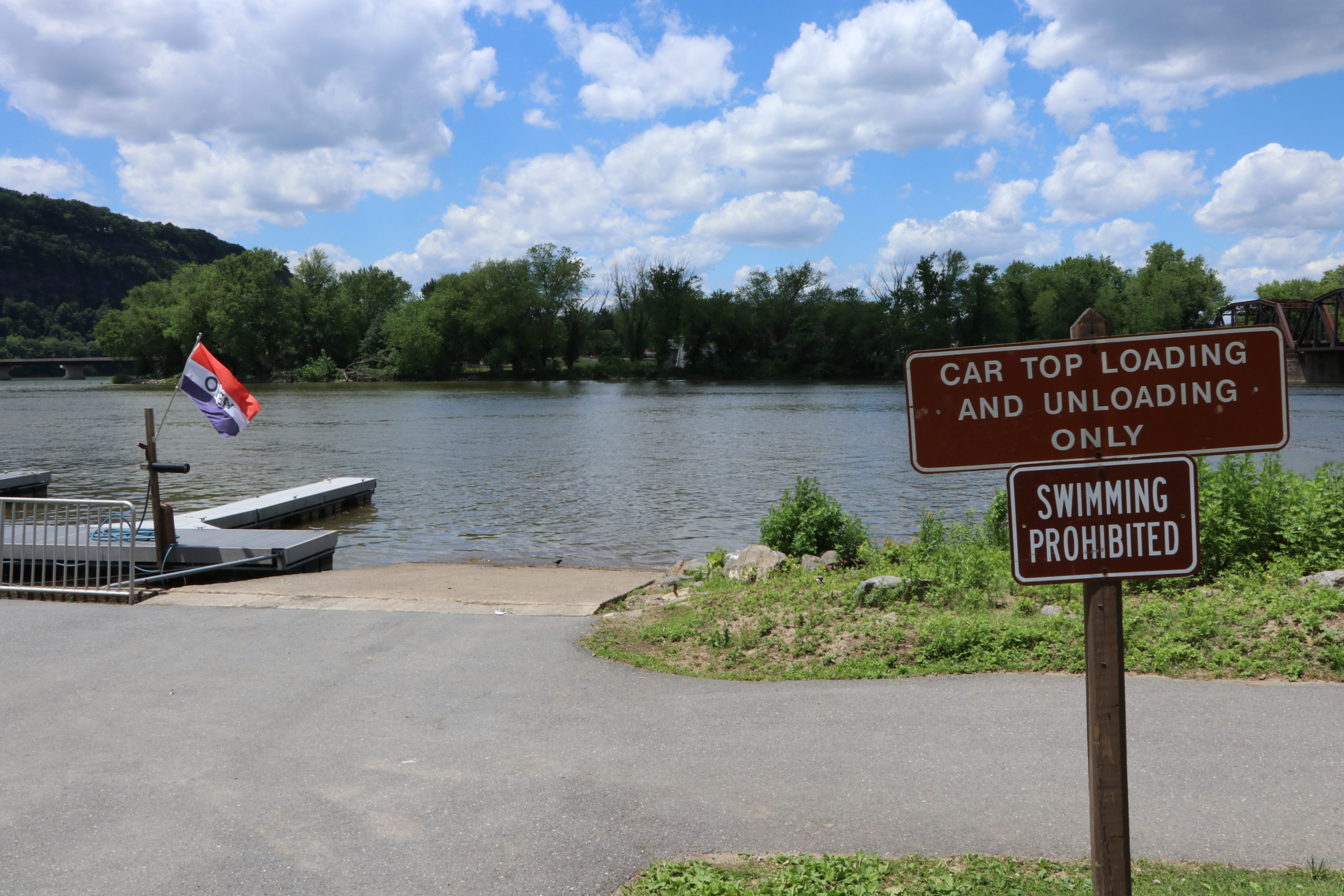
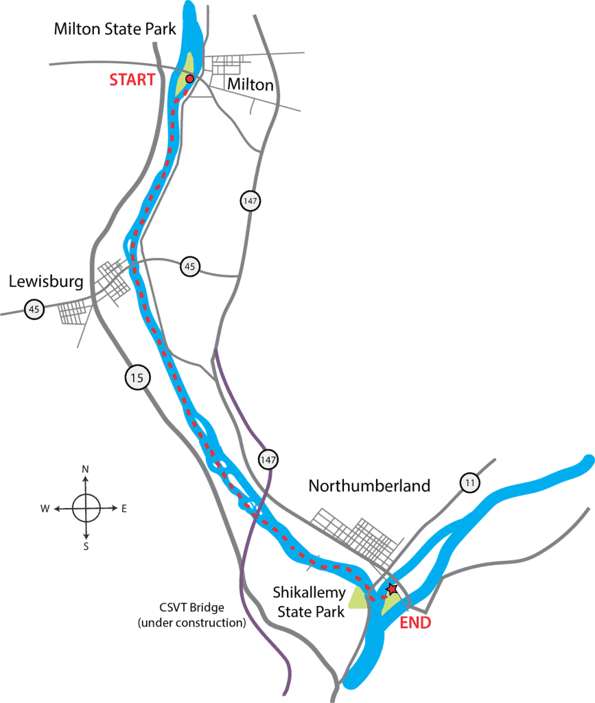
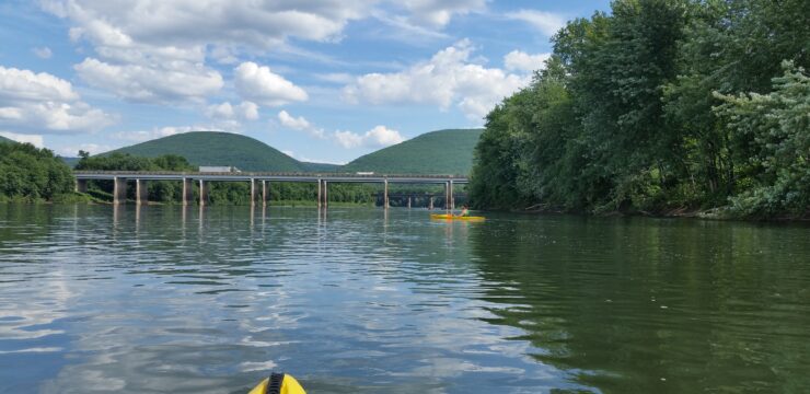
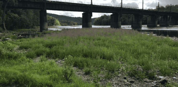
Begin by launching from the Milton State Park boat ramp, which is located on the eastern side of the island once exiting off the PA-642 bridge. Follow the boat access signs to reach the ramp. Once on the river, you’ll paddle past an old railroad bridge as you near the southern tip of the Milton State Park island.
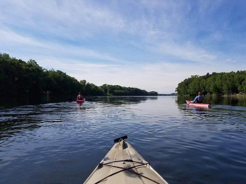
The next few miles are a calm, relatively straight stretch to the town of Lewisburg. Stay river left at low river levels to avoid any remnants of the Cofferdam Dam near the mouth of Buffalo Creek. After passing under an old railroad bridge and the PA-45 bridge, be on the lookout for any visible obstructions in the water due to remnants of an old diversion dam. Lewisburg is a vibrant river town with many local shops and activities worth making a trip back for after your paddle.
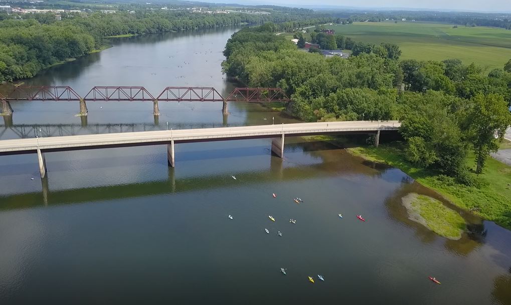
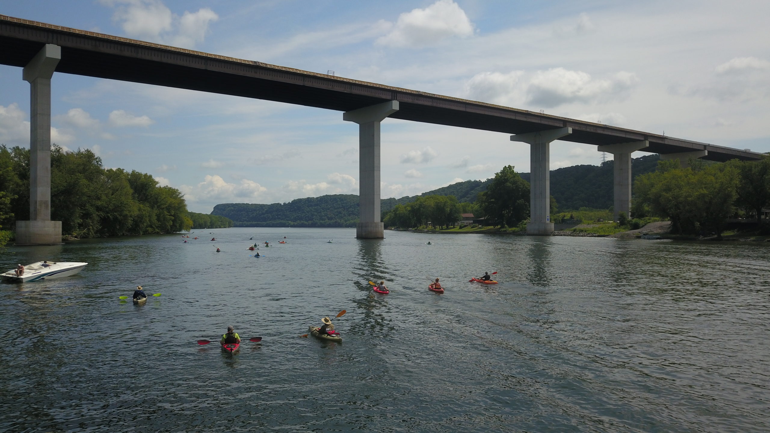
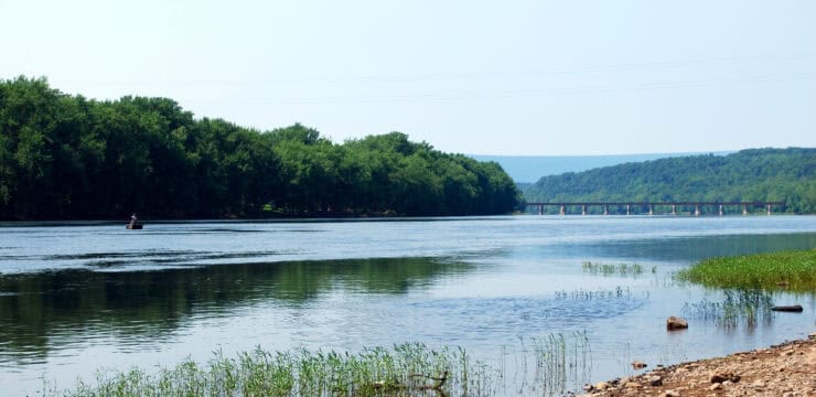
Once passing Lewisburg, continue straight ahead for the next three miles while enjoying the scenery of the West Branch. Around river mile four, you will approach several islands and the beginning of Lake Augusta. Make sure to stick close to the riverbanks to avoid boat traffic. Also be mindful of headwinds and choppy water, which are common on this stretch. Around river mile three, look above to see the Central Susquehanna Valley Thruway (CSVT) bridge. The almost mile-long bridge, is quite the sight to see as you paddle the lower West Branch.
Once you reach the confluence and pass under the US-11 bridge, continue in a straight line across the river to Shikellamy State Park, being aware of surrounding boat traffic. Once you approach the docks, begin paddling up the side of the island until you reach the boat ramp near the Lake Augusta Boat Rentals building. Look out for boats on the ramp before getting out of the river. Once finished, you’ll have the opportunity to explore Shikellamy State Park and the surrounding area.
*For those wishing to avoid the boat traffic at Lake Augusta, once passing Lewisburg you may take-out at the PFBC Chillisquaque Access (River Mile 6 – River Left).
Amenities
Milton State Park has restrooms, drinking water, multiple picnic tables, and hiking trails, with food nearby in the town of Milton. Shikellamy State Park has restrooms, drinking water, covered pavilions, and food/grocery nearby in the town of Northumberland and city of Sunbury.
Put In
River Mile 11.4: DCNR Milton State Park Access (boat ramp)
Take Out
River Mile 125 W (North Branch): Shikellamy State Park West Access (boat ramp)

Optional Take Out
River Mile 5.8: PFBC Chillisquaque Access (boat ramp)

This route corresponds with Sections 15 & 16 of the Susquehanna River Water Trail – West Branch Map & Guide, a waterproof resource which provides additional details on amenities, points of interest, emergency contacts, and gage height.


