


At a Glance
This leisurely paddle offers a town-to-town float from Muncy to Watsontown, with a rest stop in the charming Susquehanna Greenway River Town of Montgomery. Along the way you’ll experience historic waypoints, railroad bridges, an array of bird life along the brushy shores, and the tranquil beauty of the Susquehanna River’s West Branch.

Description
Your paddle begins at the Representative Garth Everett Muncy Access in Muncy, marking the start of your journey along the Susquehanna River’s West Branch. This 12.24-mile route promises 5 to 6 hours of leisurely paddling with no significant hazards along the way.
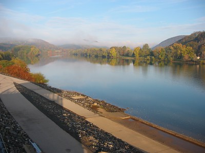
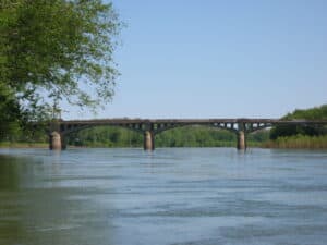
About one mile down from the Muncy access, you will pass beneath the Lycoming Valley Railroad Bridge—the historic location where The Last Raft met its demise in 1918. The expedition was intended to be a historical reenactment and celebration of Pennsylvania’s lumber industry but ended in tragedy. This is also near Muncy Heritage Park & River Access is location at river mile 26.7, where is provides convenient parking and picnic facilities for visitors. This access point serves as an ideal leisure or emergency stop on your paddle. You can find more information about Muncy Heritage Park & River Access here.
Thousands of citizens from the river towns along the Susquehanna River came to see the raft as it passed by their towns. Sadly, on the sixth day of the voyage, the raft crashed into the piers of the railroad bridge in Muncy and those aboard were plunged into the icy water. Although onlookers aided and saved the lives of 38 men, seven perished.
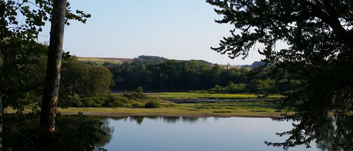
View of the rail bridge in Muncy; Photo Credit: Kelly Howell
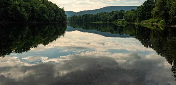
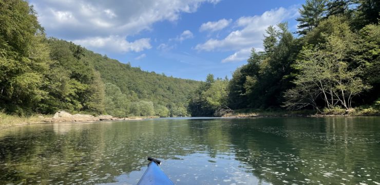
Emerging from under the rail bridge, keep on the lookout for birds and other wildlife who frequent the brushy shoreline. The next 3 miles will offer a peaceful stretch of river to enjoy the natural beauty and serenity of the West Branch.
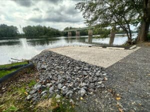
After navigating through a channel of islands, you will see a bridge up ahead. Navigate to river right just before the bridge to take out at the PFBC Montgomery Access. This stop offers an opportunity to rest and refuel, stretch your legs, and use a restroom.

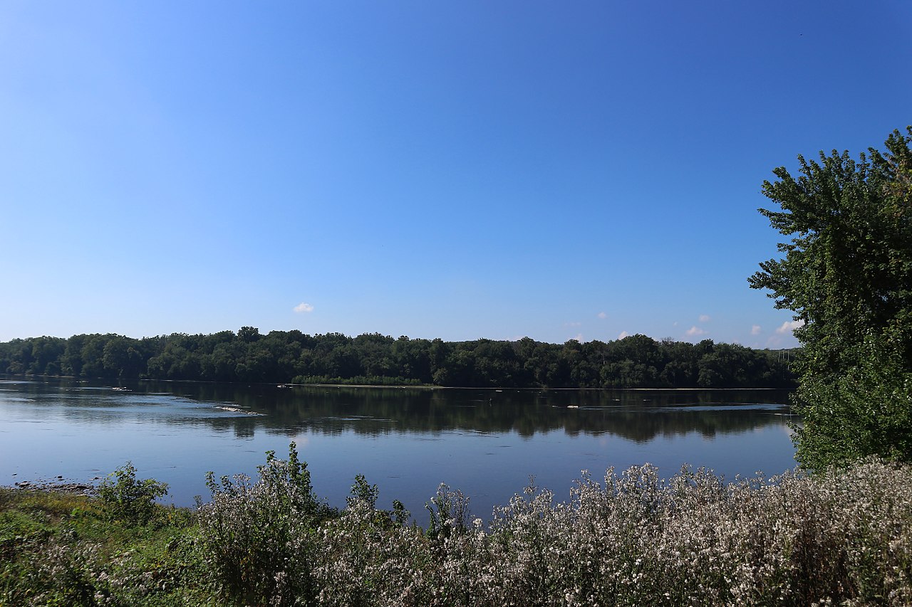
View of PFBC Montgomery Access from the river; Photo Credit: Terrain 360
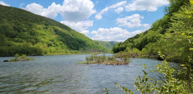
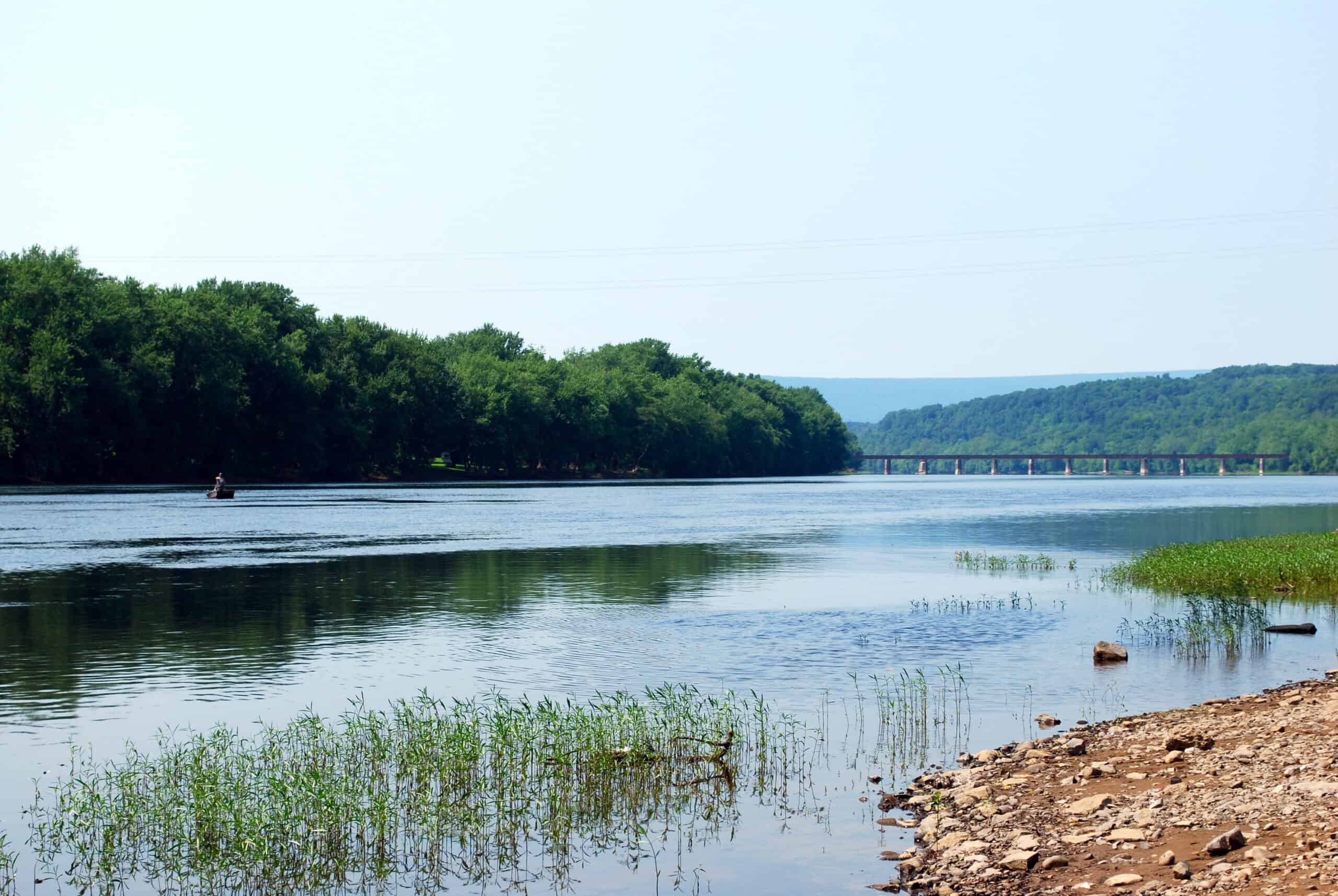
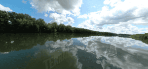
Resuming your journey towards Watsontown, the river continues to unveil its splendor with striking cliffs on river right. Another rail bridge greets you about a mile downriver from the access point. After another mile, you will encounter a group of islands and the remnants of the Ordnance Dam. At low water levels, you will want to navigate to river left of the dam.

View of Ordnance Dam; Photo Credit: Terrain 360
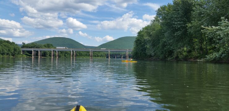
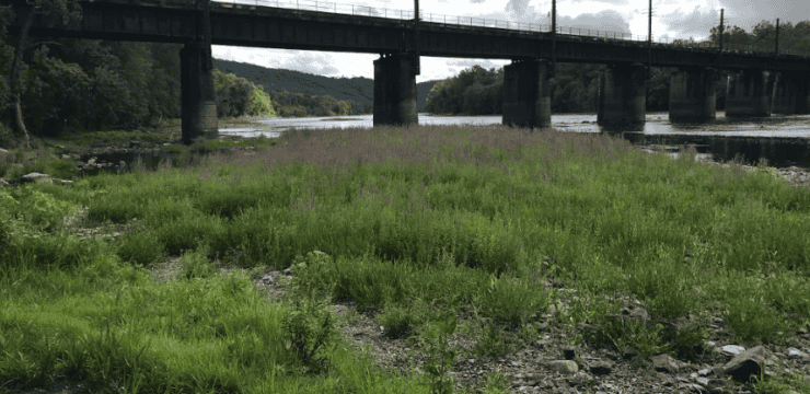
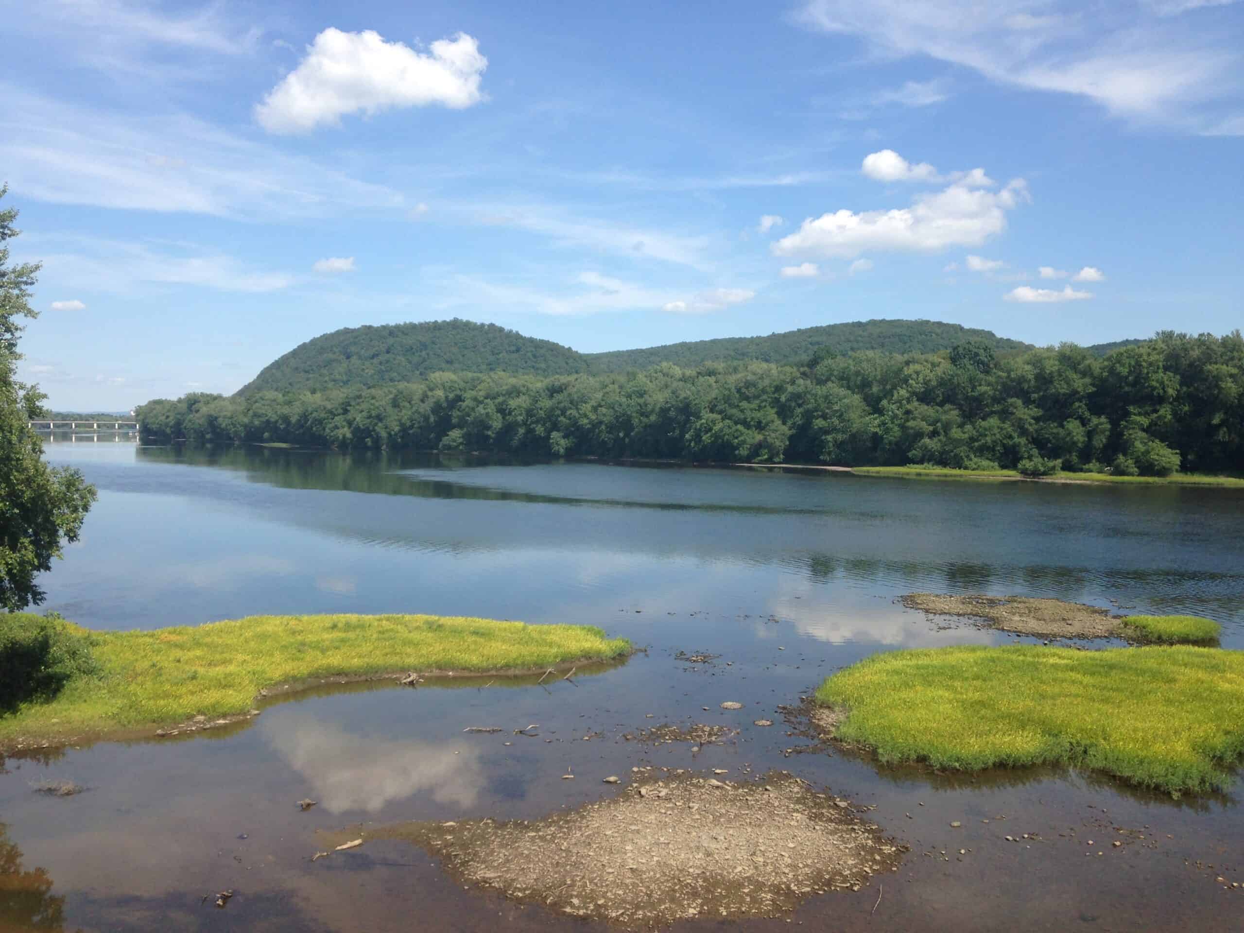
Beyond these islands, you will have about 4.5 miles of easy paddling before reaching the take-out. As you enjoy the picturesque river scenery, you will pass beneath two bridges along the way—first, the PA-44 Allenwood bridge and finally the Brimmer Ave Watsontown bridge.
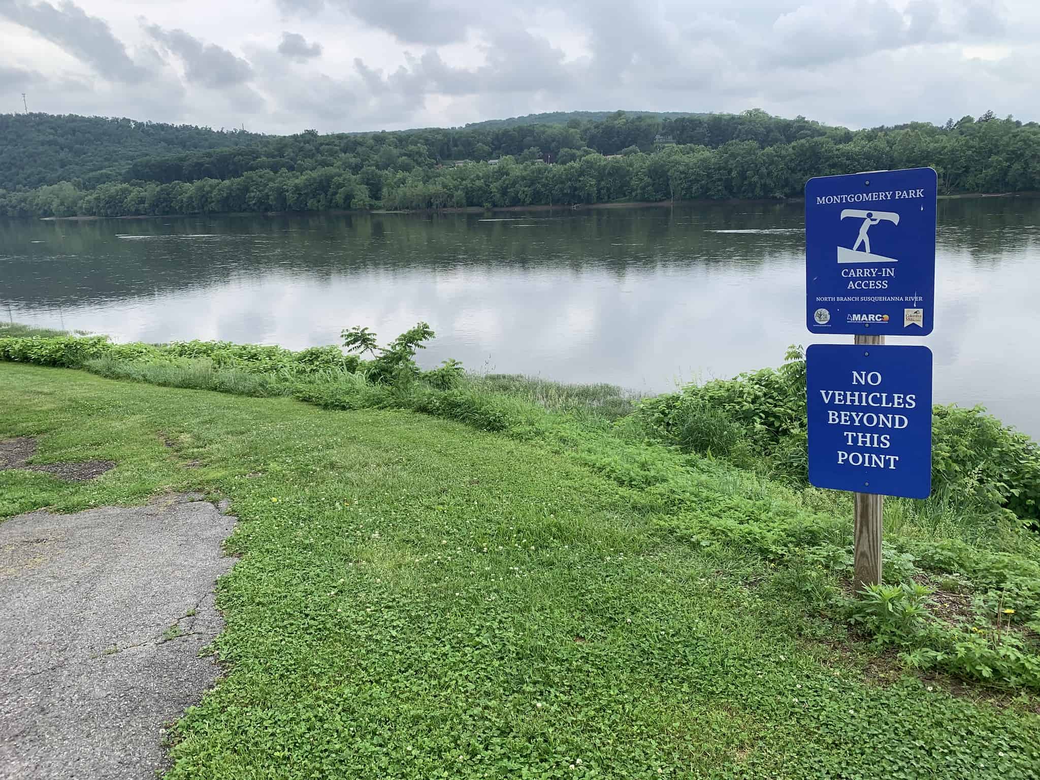
Continuing your voyage about a 0.5-mile after the final bridge, navigate river left to take out at the PFBC Watsontown Access. Also, Watsontown Borough Access is in Watsontown Memorial Park at river mile 15.7. This access offers a boat ramp, parking, restroom facilities, and does not require a launch permit. Here, you’ll find ample amenities including parking, a seasonal Port-a-Potty, picnic areas, and nearby grocery for any essentials you may need.
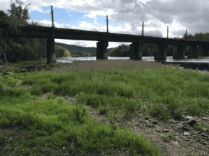
View of the bridge located near the PFBC Watsontown Access.
Before concluding your adventure, take time to explore the charming town of Watsontown, where the inviting Watsontown Towpath Trail offers a scenic 1-mile walk experience paralleling the river. It is a great opportunity to stretch your legs and further immerse yourself in the natural beauty along the West Branch of the Susquehanna River.
Amenities
Both accesses have boat launches, and parking areas. PFBC Watsontown Access is near restrooms, picnic areas, and grocery.
Put In
River Mile 27.7: Representative Garth Everett Muncy Access
Rest Stop
River Mile 22.8: PFBC Montgomery Access

Take Out
River Mile 15.5: PFBC Watsontown Access
View of PFBC Watsontown Access from the river; Photo Credit: Terrain 360
This route corresponds with Sections 14 & 15 of the Susquehanna River Water Trail – West Branch Map & Guide, a waterproof resource which provides additional details on amenities, point of interest, emergency contacts, and gage height.