


At A Glance
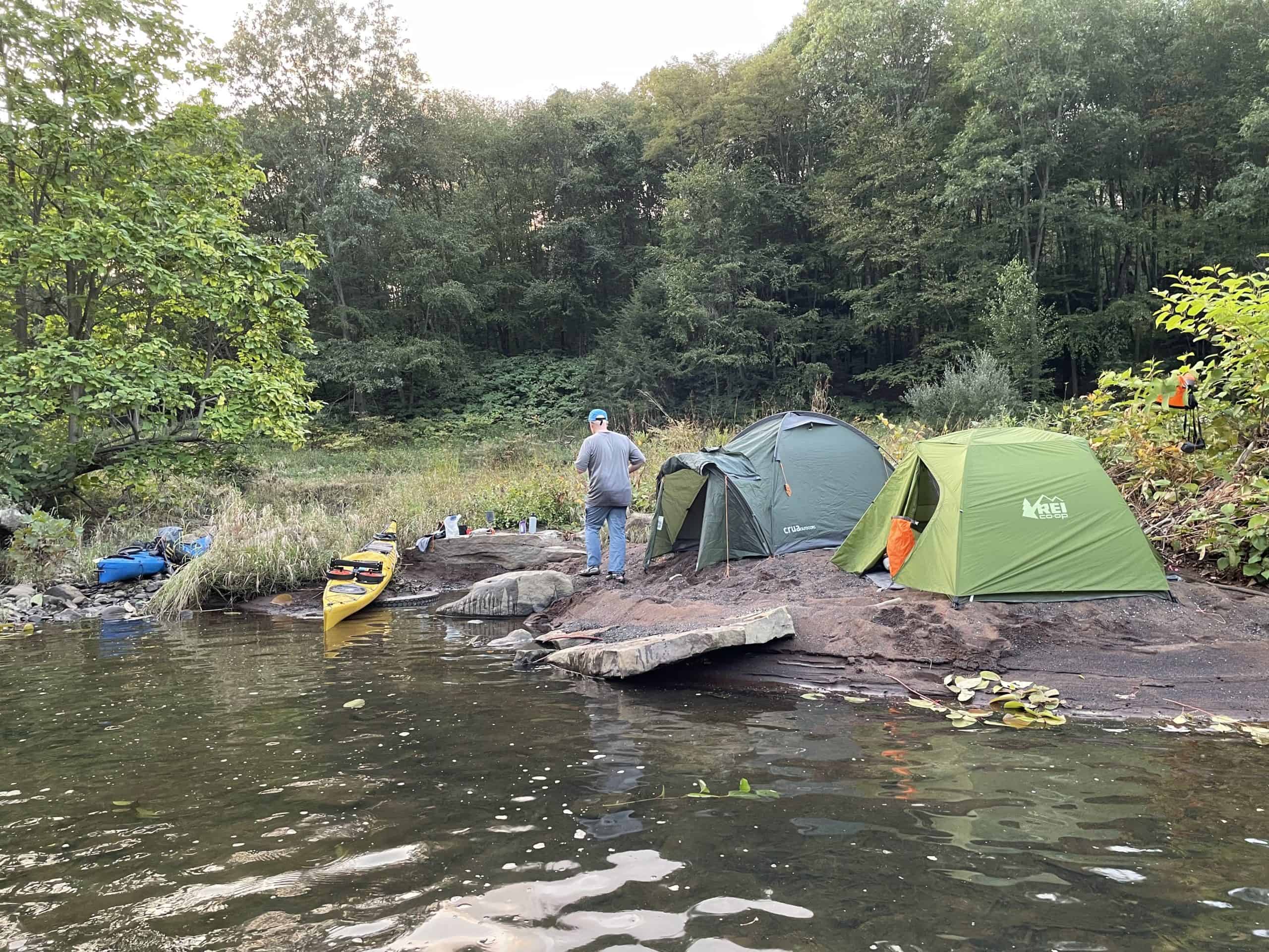
This two-day trip is a moderate to difficult paddle that is best suited for experienced paddlers. It is a great trip for those who enjoy the solitude of remote forests in central Pennsylvania, observing wildlife, and adventure. For those who wish to make this excursion an overnight trip, paddlers are advised to camp within the section of the Sproul State Forest on river right. Natural Areas can also be used, but campers must notify DCNR ahead of time and are permitted to stay for no more than 24 hours. The journey ends in the Susquehanna Greenway River Town of Renovo.
Description
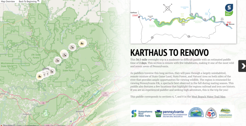
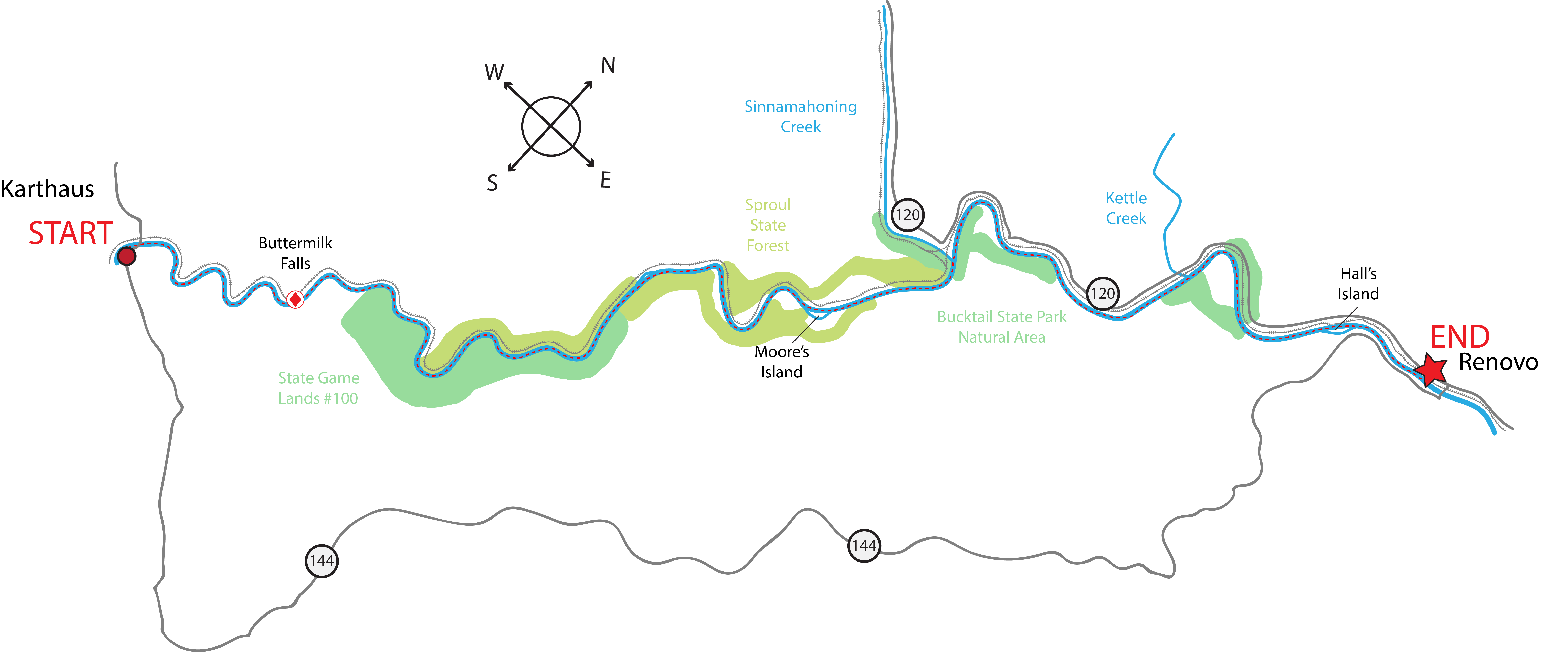
Launch at the DCNR Bureau of Forestry Karthaus Access (River Mile 132.4), and begin your paddle alongside a section of the Sproul State Forest on river right. Sproul State Forest was named after William C. Sproul, a former governor of Pennsylvania who is best known for his expansion of the public education system in Pennsylvania. Shortly after launching, you will pass underneath the Karthaus Bridge (PA-879) and subsequently pass Mosquito Creek where Peter Karthaus, for whom the town is named after, built his iron furnace in 1817. Immediately following, the river bends several times, winding through the Alleghany Plateau.
As you round the third bend at river mile 130, look for Saltlick Landing on river left. In March of 1938, the ill-fated “Last Raft” used this location as a tie-up point. After an additional two miles and two bends later, you will pass the former location of the Bog Iron Ore Deposit at river mile 127.5 on river left. Discovered in 1815, the Bog Iron Ore was transported upstream to the Peter Karthaus Iron Furnace.
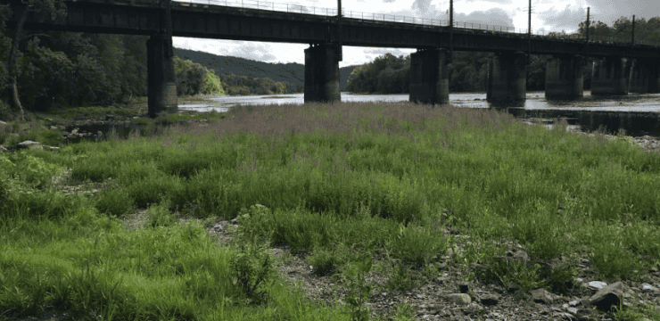
About 5 miles into the route, paddlers will encounter Buttermilk Falls. This straight, 0.7-mile “rock garden” is a Class I rapid during normal river flows but can become a more treacherous Class II rapid under high flow conditions. Check river gages and use caution throughout this area.

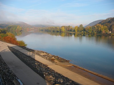
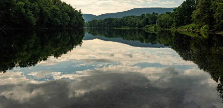
Photo by Mark Boyd
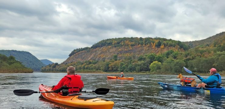
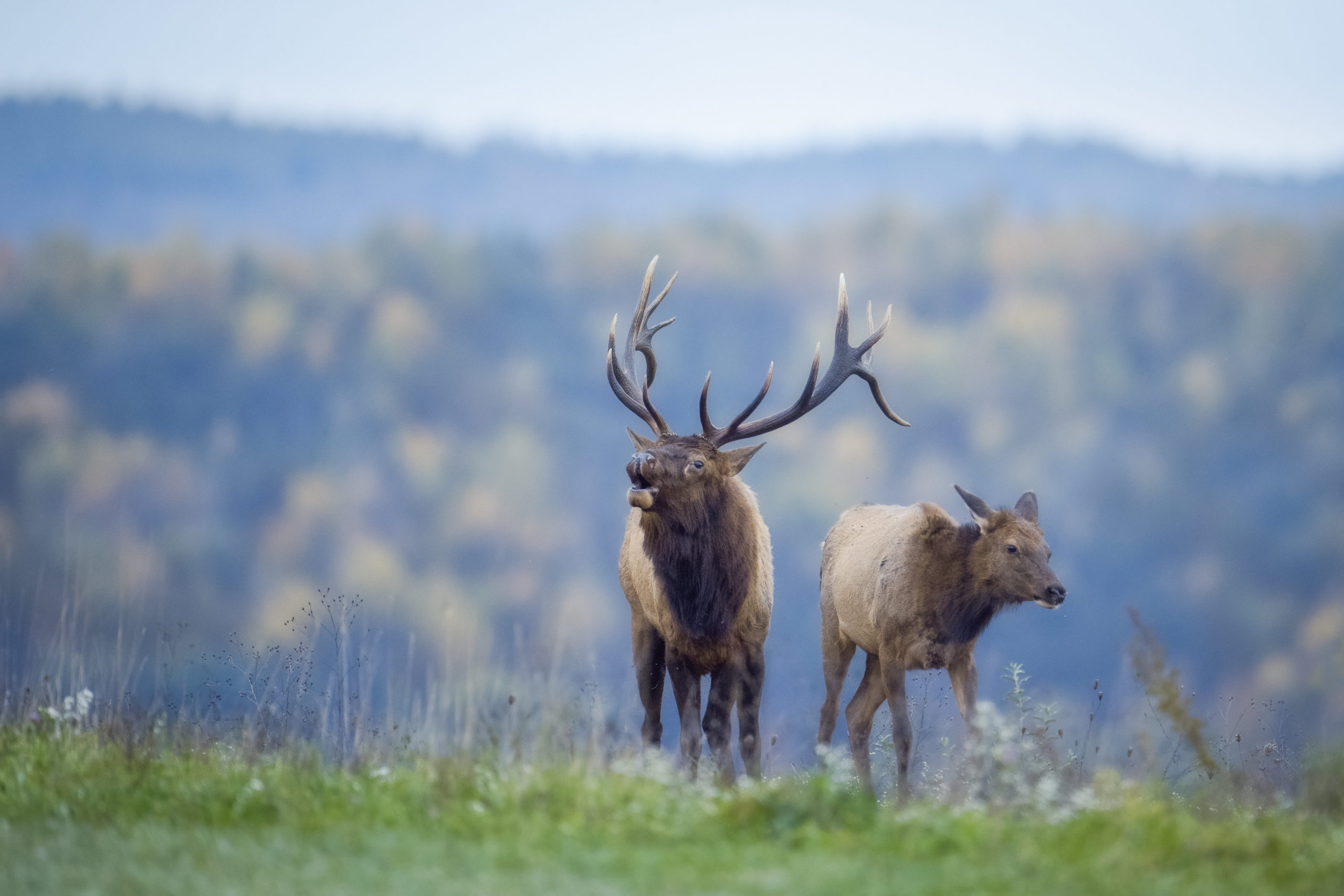
Following the rapids, be prepared to experience one of the most remote sections of the West Branch. During the fall rut (mid-September to mid-October), male Elk can be regularly heard bugling to attract a mate in this area. Once dwindling in Pennsylvania due to over-hunting, the Pennsylvania Elk herd was revived with transplants from populations of Rocky Mountain Elk from Yellowstone. The Pennsylvania Elk herd now has a population of over 1,400 and can be seen and heard along the West Branch.
The mouth of Groves Run on river left is the former site of a Coal Tipple. The Coal Tipple structure used mine carts to “tip” loads of coal into the rail cars for transportation elsewhere.
For those who wish to make this excursion an overnight trip, paddlers are advised to camp within the section of the Sproul State Forest on river right. Natural Areas can also be used, but campers must notify DCNR ahead of time and are permitted to stay for no more than 24 hours.
At river mile 113, keep left as you approach Moore’s Island. The river continues relatively straight from river mile 113 to 111. At river mile 111.5 on river right, you will encounter Burns Run Wild Area which begins at the mouth of Burns Dam Run. As in all Wild Areas, you must contact DCNR before you camp here; camping is limited to no more than 24 hours or 1 night. This is also the location of Burns Rock, a rafting point in 1825 where American Indians were seen carrying high quality silver ore. This led to an extensive search for a silver ore mine, but no such mine was ever found.
You will pass the mouth of Sinnemahoning Creek, a major tributary stream, at river mile 110.5 on river left. You should be able to see the railroad bridge upstream from the mouth. Keep paddling, eventually passing the mouth of Kettle Creek. Stay left around Hall’s Island in another few miles.
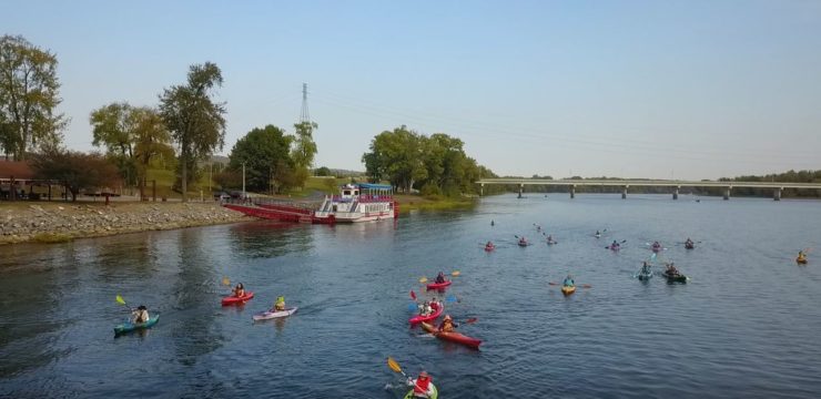
The journey ends in the Susquehanna Greenway River Town of Renovo.
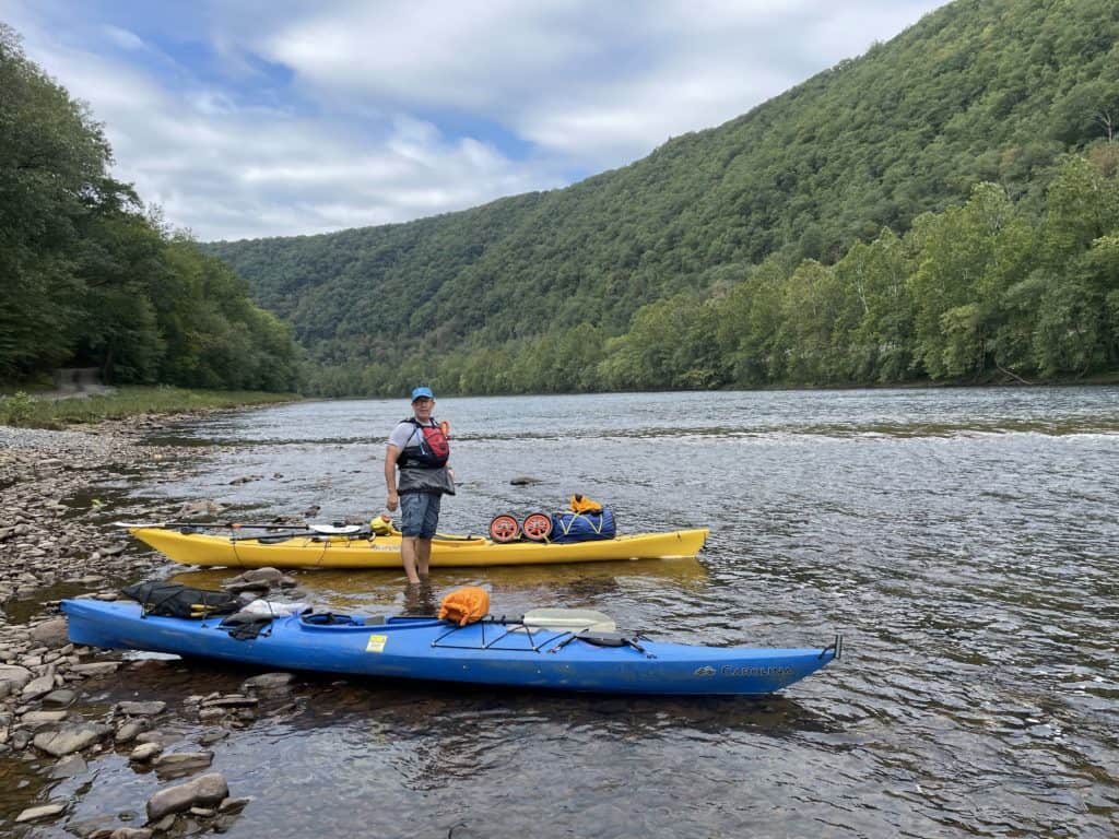
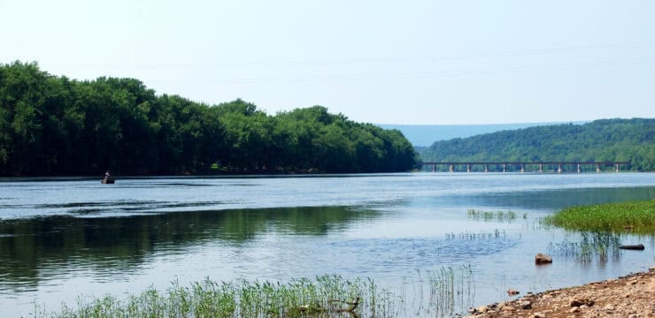
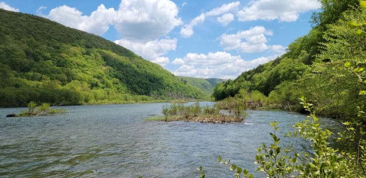
Photo by Mark Heller
Amenities
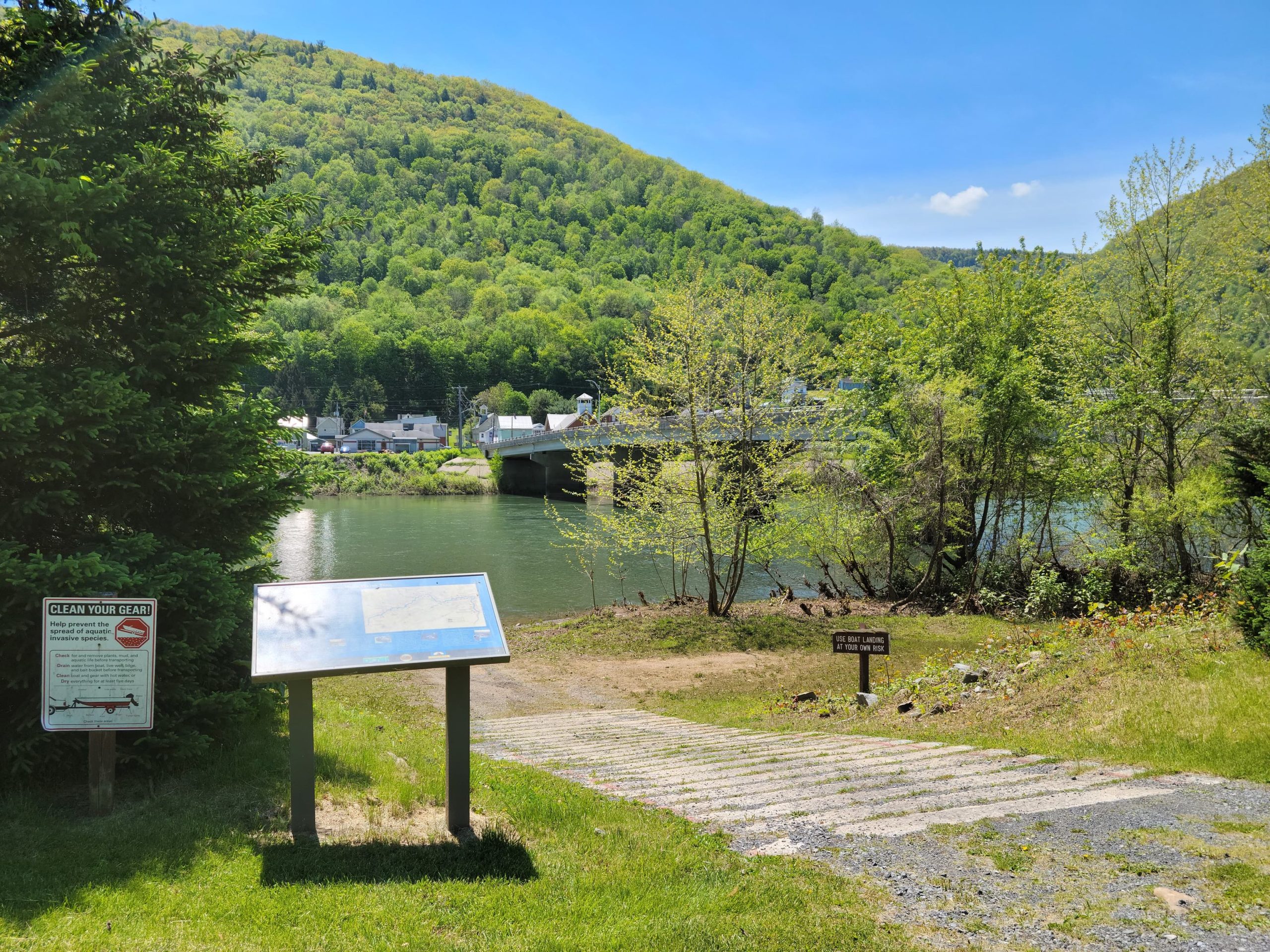
The Karthaus Access has camping, restrooms, and picnic areas available seasonally, with additional amenities available in the nearby town of Karthaus. The Renovo Access has a picnic area with restaurants, drinking water, restrooms, and accommodations available in the Susquehanna Greenway River Town of Renovo.
Put In
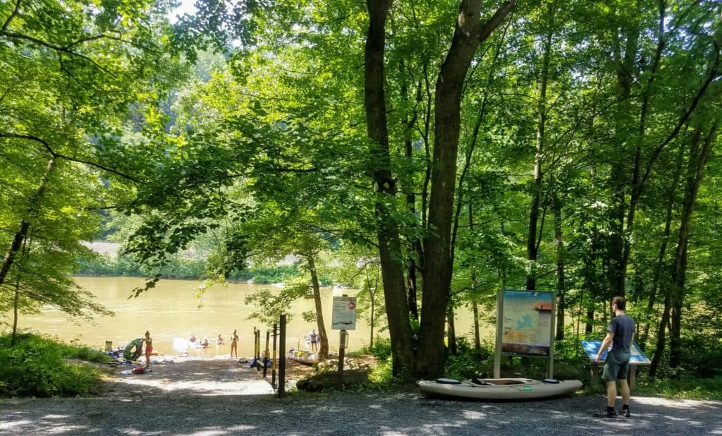
River Mile 132.4: Karthaus Access
Take Out
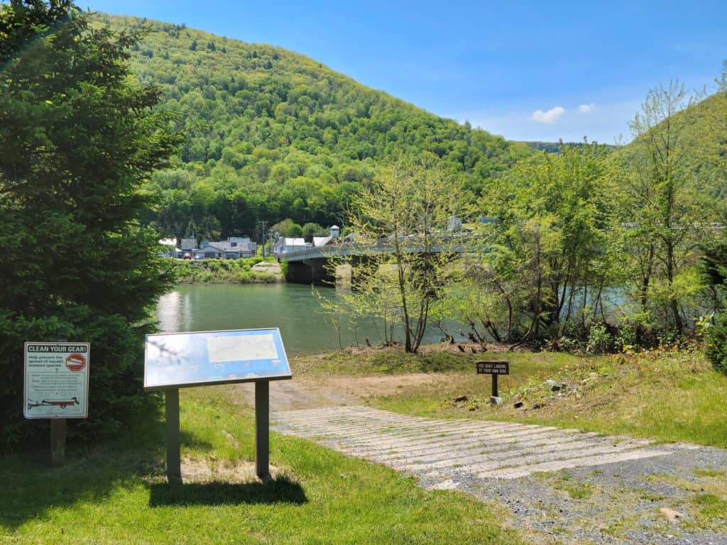
River Mile 97.9: Renovo 5th Street Access
PLEASE NOTE: Paddlers should always plan ahead and be prepared! This route is along the most remote section of the Susquehanna River and is surrounded mostly by uninhabited state-owned land. Completion of this paddle in one day poses an immense challenge and should only be attempted by experienced and adept paddlers. Paddlers who are completing the paddle in two days will need to identify potential camping spots prior to embarking on their trip. You may camp anywhere in the Sproul State Forest. Natural Areas can also be used, but campers must notify DCNR ahead of time and are permitted to stay for no more than 24 hours. Camping on State Game Lands is strictly prohibited.
This paddle corresponds with sections 5, 6, 7, & 8 of the Susquehanna River Water Trail – West Branch Map & Guide, a waterproof resource which provides additional details on amenities, points of interest, emergency contacts, and gage height.
Explore the Route Virtually