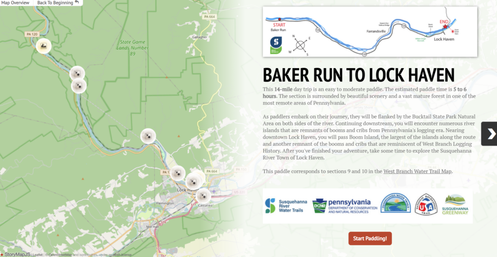

At A Glance
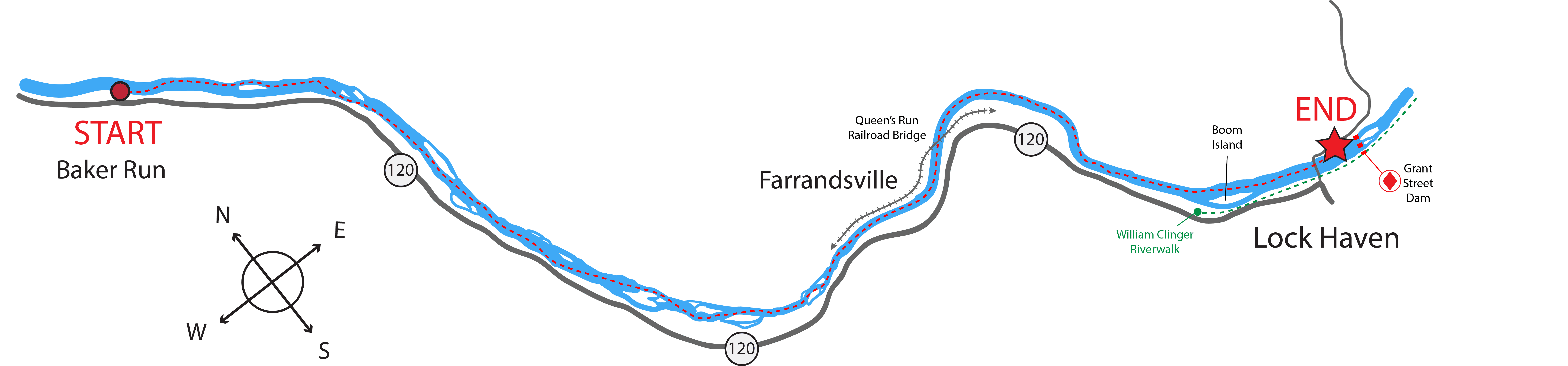
This day trip is a slightly longer paddle, good for most skill levels but may be more challenging for novice paddlers. To avoid low water levels, paddlers are advised to use this section from spring thaw until mid-July and again in October or November. However, it may also be usable any time of the year following a 3-4-day rain event. As always, you should come prepared and leave a trip plan with someone close to you as there are few towns and designated take outs along this section. It is an ideal trip for those who are seeking to explore the remote wilderness of the Susquehanna River Water Trail – West Branch.
Description
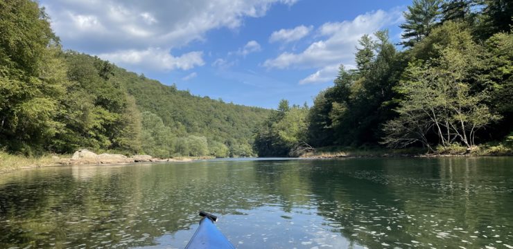
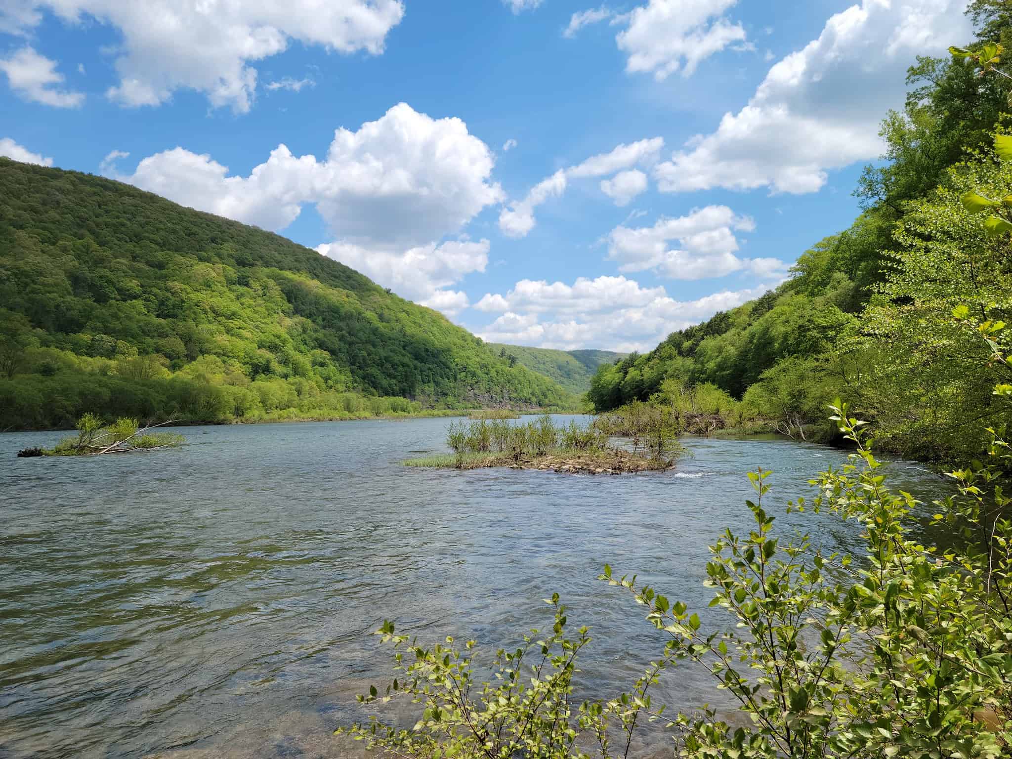
Launch at the Baker Run Canoe Launch (River Mile 83.1). The current is fast here, so use caution when putting in. After embarking on your journey, you will become surrounded by a vast mature forest with few signs of civilization. However, PA-120 (known as the Bucktail Scenic Byway) will follow on river right for paddlers who need a bailout in an emergency. On river left, you may see trains traveling via the Norfolk Southern Railroad that follows the remainder of the West Branch then veers down along the main stem Susquehanna River to the Chesapeake Bay.

Throughout this section, evidence of old logging booms can be seen, creating narrow channels where logs were once diverted and transported downriver. From river miles 83-78, you will be flanked by the beautiful Bucktail State Park Natural Area. This area can be used as rest or picnic lunch spot, but camping is not allowed, and watch for signs as some property is privately owned. Please remember to ‘Leave No Trace’ and take all trash with you when you leave.
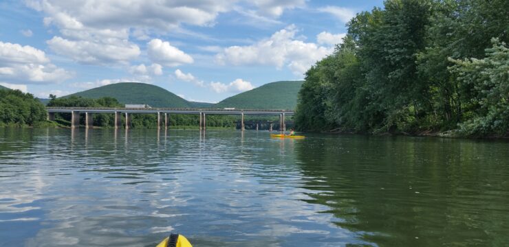
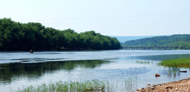
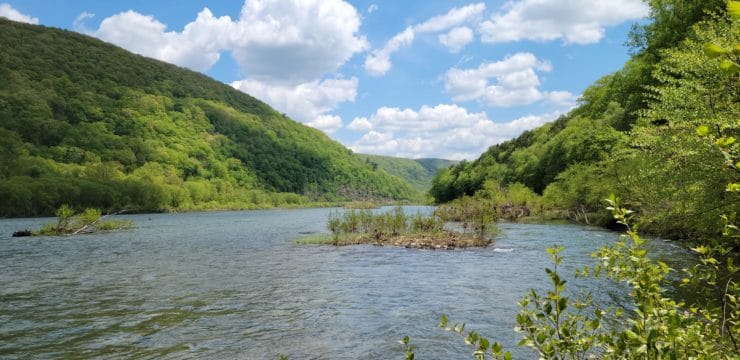
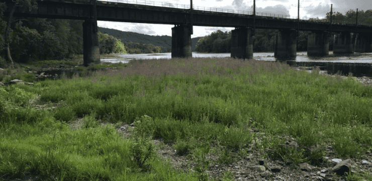
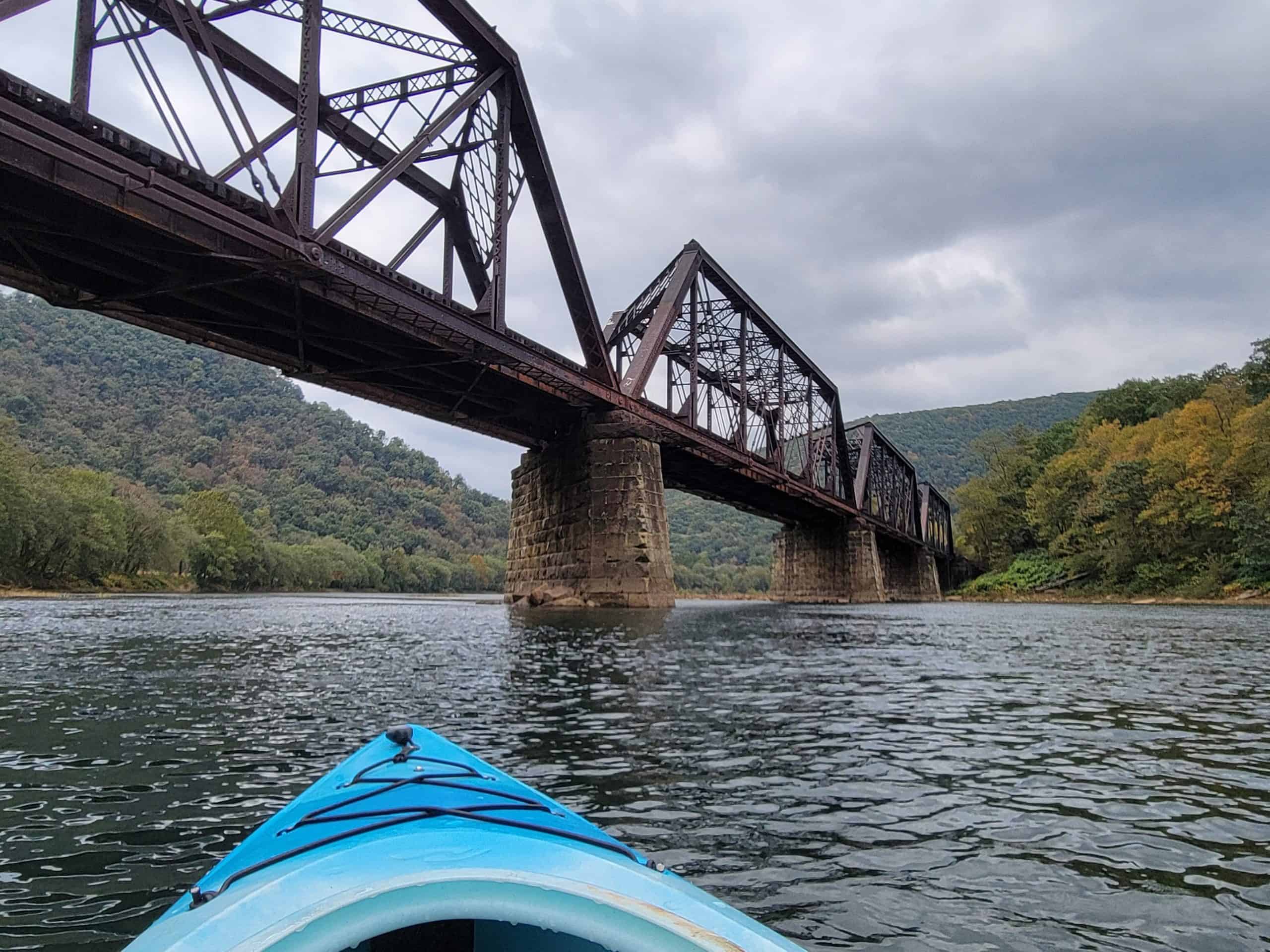
As paddlers progress downriver, they will pass State Game Lands on river left, encountering several unnamed islands and paddling amidst some of the beautiful ridge and valley scenery that is so iconic to the West Branch. As you continue paddling, you will see the Queen’s Run Railroad Bridge at river mile 74.1, followed by a bend where the river turns right.
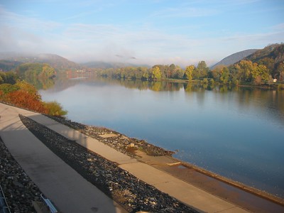
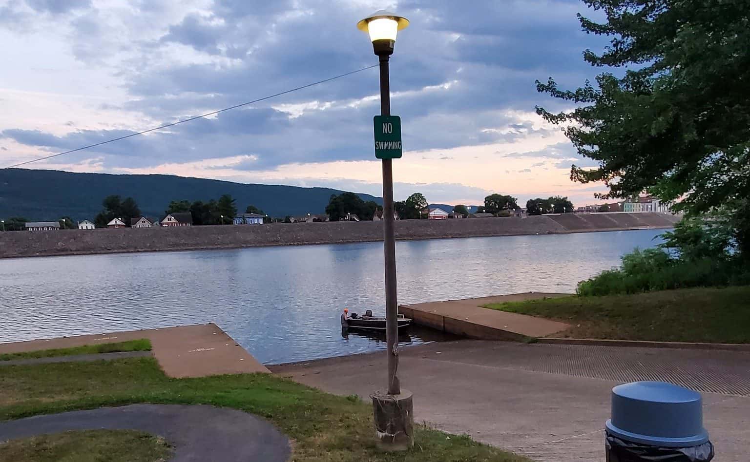
Shortly after passing beneath the bridge, you will enter the Grant Street Dam pool where there will be significantly more motorized watercraft, especially during summer. To avoid watercraft, it is recommended that you use caution and paddle close to the riverbanks.
At river mile 71.0, keep river left when you see Boom Island, named for remnants of an old logging boom used in the 19th century. Here you will begin to see downtown Lock Haven and its levee on river right. The levee is host to a 2.25-mile paved trail known as the William Clinger Riverwalk, which also boats an outdoor amphitheater for summer concerts.
After passing underneath the Jay Street Bridge at river mile 70.2, immediately navigate towards river left to approach the take-out. As you near the end of this paddle, be sure to look up ahead at Bald Eagle Mountain. You will see an opening in the trees where a boulder field, known as the “Boulder Beast,” runs down from the ridge. If you have an extra day, the Bald Eagle Mountain Trail will take you to this summit for stunning views of the valley and river below. Exit the river at the Lock Port Recreation Area Access (River Mile 69.9).
Amenities
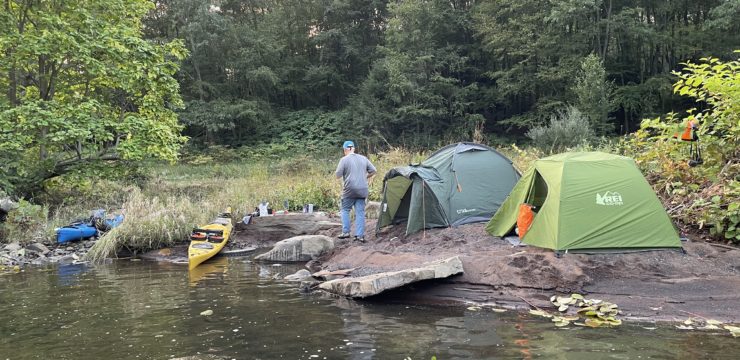
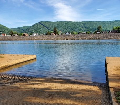
The Baker Run Canoe Access features pit restrooms and parking. There is also a primitive camp site at the launch with a fire ring and picnic table. Food, water, and other amenities can be accessed in the town of North Bend, 13 miles north of Baker Run, or in Lock Haven, 13 miles south. Lock Port Recreation Area Access features flush restrooms, drinking water, parking, and a picnic area, with food available in the Susquehanna Greenway River Town of Lock Haven just across the Jay Street Bridge.
Put In
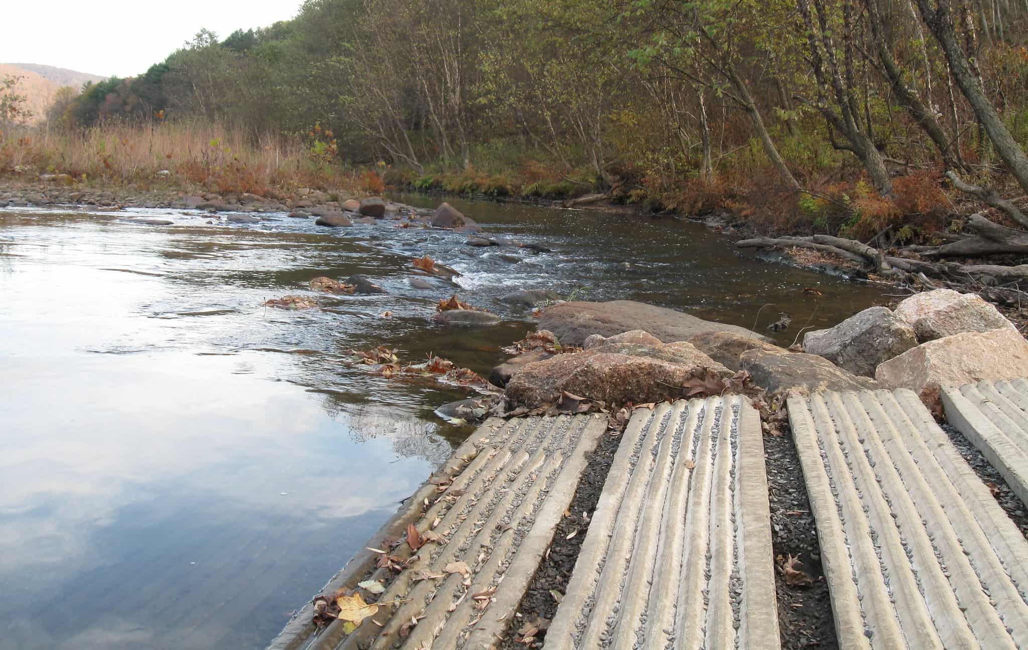
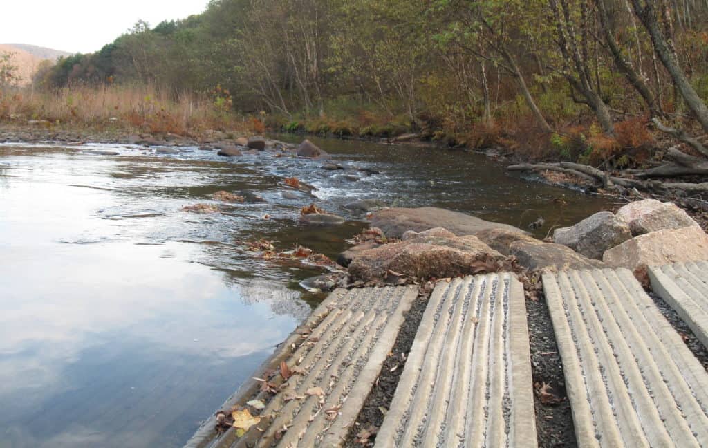
River Mile 83.1: Baker Run Canoe Access
Take Out
River Mile 69.9: Lockport Recreation Area Access

This route corresponds with Sections 9 & 10 of the Susquehanna River Water Trail – West Branch Map & Guide, a waterproof resource which provides additional details on amenities, points of interest, emergency contacts, and gage height.
Explore the Route Virtually