

At A Glance
This half-day trip is an easy route, ideal for paddlers of all ability levels. It is a great trip for those seeking a leisurely day on open water, scenic views of Curwensville Lake, and it is perfect for groups that may have paddlers of varying experience.
Description
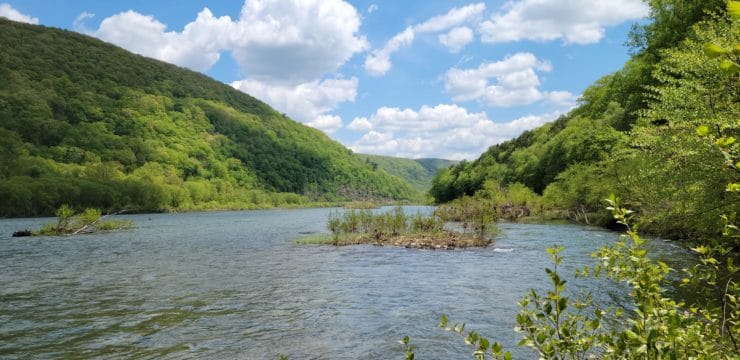
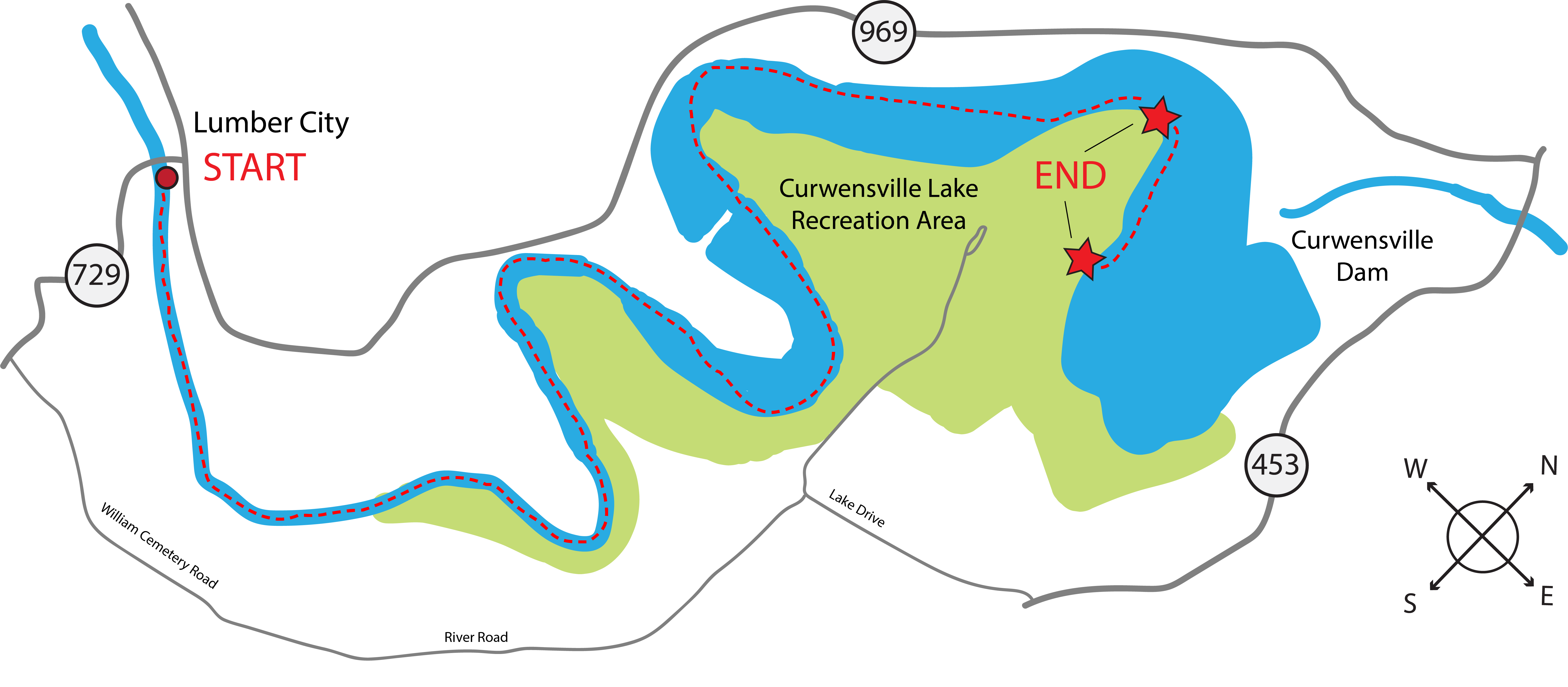
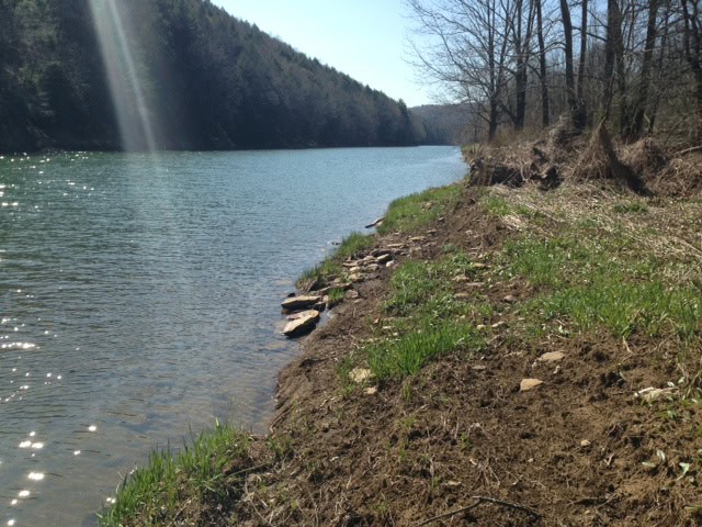
After launching from Lumber City Access (River Mile 192.9), the first mile of this paddle is very straightforward. After a mile, the river curves left. Following this curve, you will encounter Kelly’s Dead Water. During Pennsylvania’s lumber era, raftsmen on the upper west branch transported guided log rafts that served as both vessel and cargo to destinations such as Williamsport, Harrisburg, and the Chesapeake Bay where they could be disassembled and sold for profit. These ‘dead water’ areas were known to raftsmen as areas that had little to no flow, causing raftsman to get stuck (or serve as a waypoint). Today, it is a calm narrow stretch of river for paddlers.
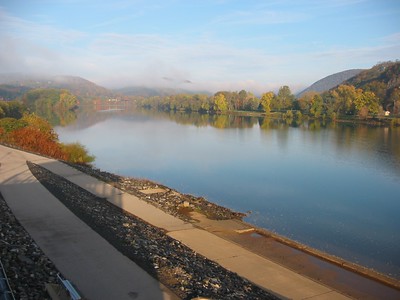
Following Kelly’s Dead Water at river mile 191, the river takes a bend and transitions into the wider waters of Curwensville Lake. Curwensville Lake is a manmade lake or reservoir, located just south of Curwensville. In 1954, the Flood Control Act was passed due to the frequent flooding around the West Branch river basin, and it was recognized that Curwensville needed a dam. Two years later, the Army Corps of Engineers constructed the Curwensville Dam, forming the lake. The dam and lake help prevent flood events, act as a water supply storage, and is a recreational hub for nearby communities that utilize it for boating and fishing, among other outdoor recreation activities.
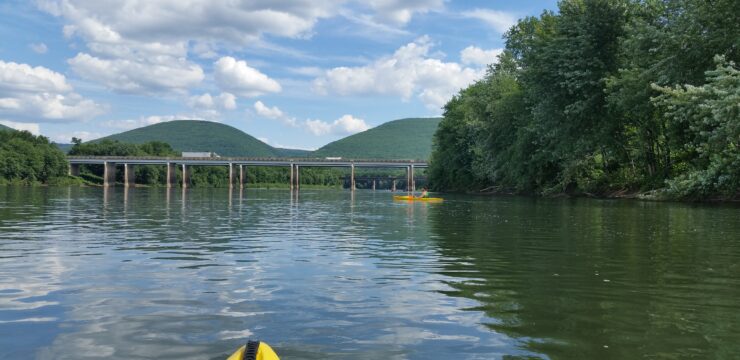
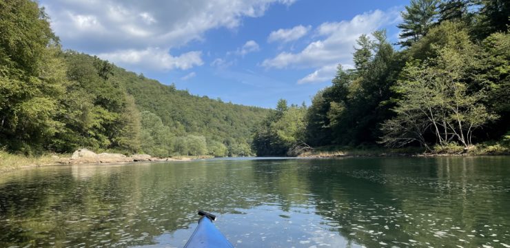
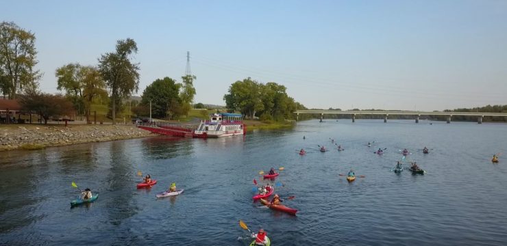
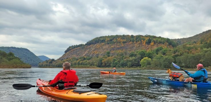
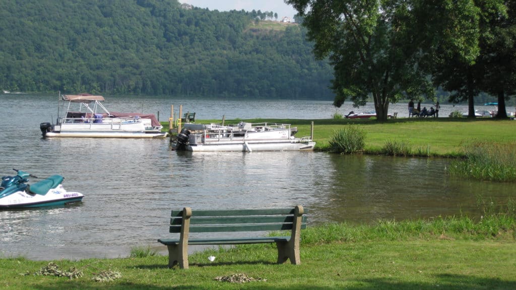
Once you enter the lake, stick close to shore to avoid motorboat traffic. These open waters are a unique section of the West Branch and the recreation area offers opportunities to camp or enjoy the beach after your paddle. You may exit the lake on river right at either USACE Curwensville Lake Canoe Access (River Mile 186.8) or USACE Curwensville Lake Boat Access (River Mile 186.2).
Amenities
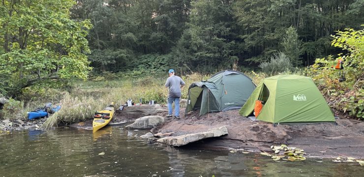
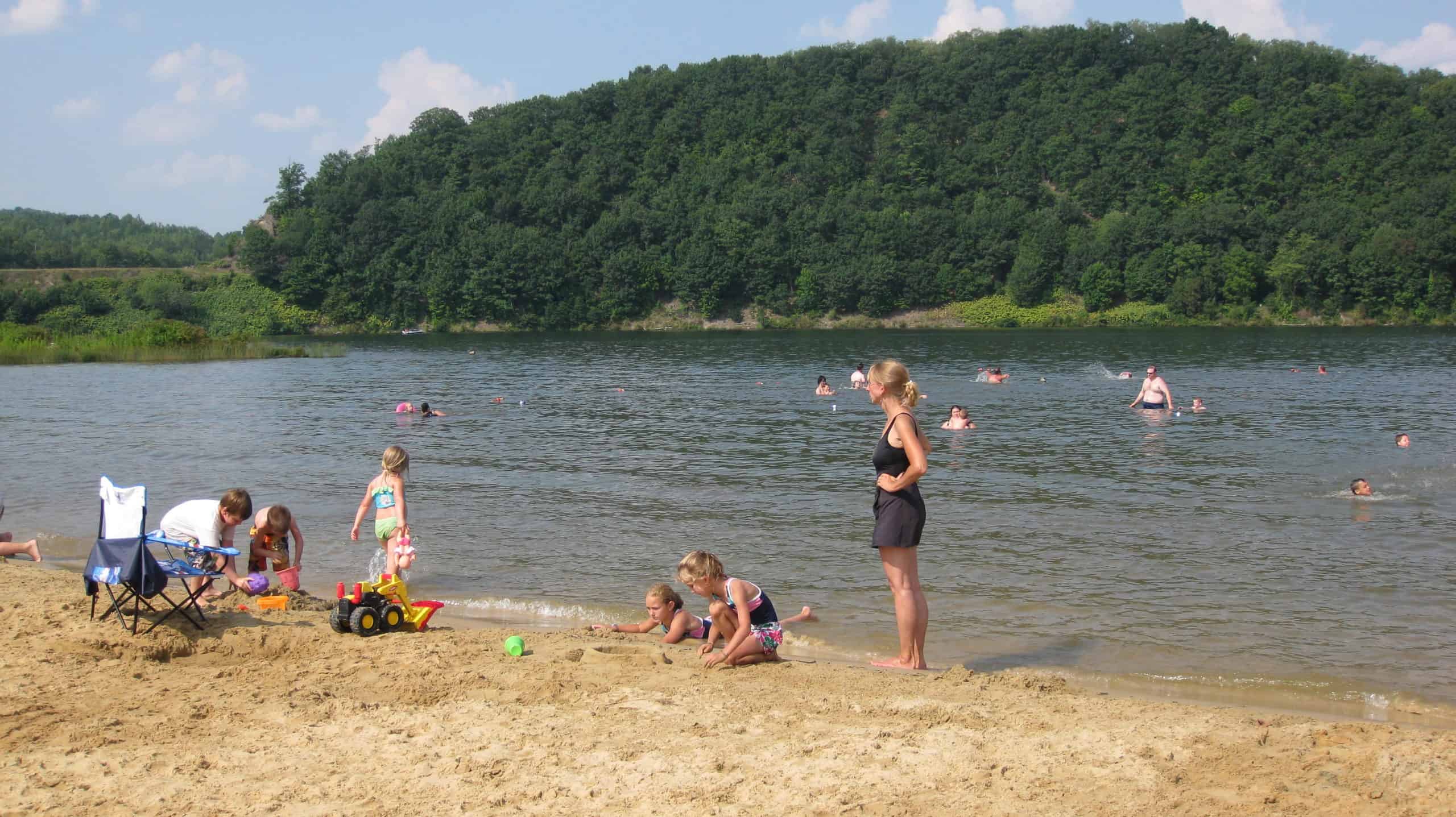
Curwensville Lake has access to restrooms, drinking water, picnic areas, and camping. Other amenities, such as restaurants and accommodations, can be found in the nearby town of Curwensville.
Put In
River Mile 192.9: Lumber City Access
Take Out
River Mile 186.8 or 186.2: USACE Curwensville Lake Canoe Launch Access

Photo by Chuck Haupt
Optional Portage around Curwensville Dam
If you are looking to extend your paddling experience, you may combine this itinerary with the Curwensville to Clearfield itinerary for an overnight adventure. Campsites at Curwensville Lake can be reserved online here.
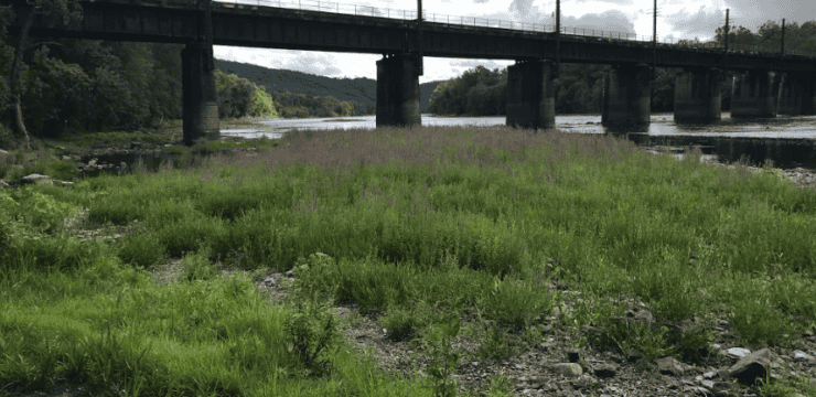
To continue paddling, paddlers must use the recommended vehicle portage: Take Lake Road out of Curwensville Lake and continue for about 2 miles. Turn left onto PA-453 N and continue for about 2 miles into downtown Curwensville. After crossing the bridge over the Susquehanna River, take the first right onto Irvin Park Rd. Continue for 500 feet and make the second right onto Smith St. Put in at the Irvin Park Access.
This route corresponds with Section 3 of the Susquehanna River Water Trail – West Branch Map & Guide, a waterproof resource which provides additional details on amenities, points of interest, emergency contacts, and gage height.
Explore the Route Virtually