
At A Glance
This day trip is good for most skill levels. It is an ideal trip for an immersive nature experience, as it is located alongside a section of the Water Trail known for its state parks and natural areas. European settlers were drawn to this region because of its abundance of natural resources. While it was largely harvested in the mid-1800s, the area is now lush with new-growth forests. Please note, there are no public access points between Hyner Access and Baker Run Canoe Launch. The river follows Route 120 (Bucktail Scenic Byway) for this section, occasionally running adjacent to Bucktail State Park Natural Area.
Description
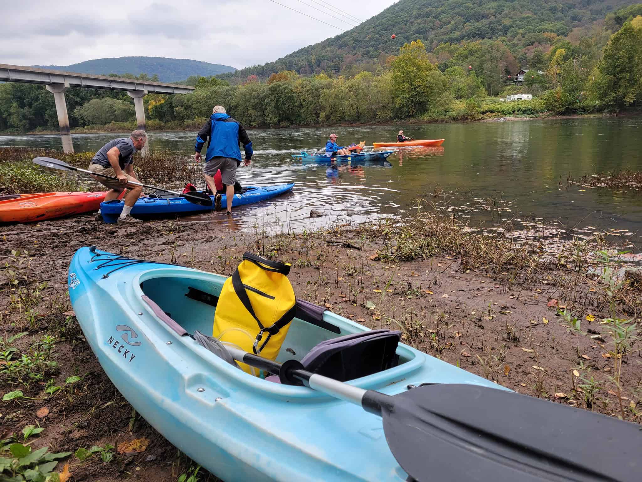
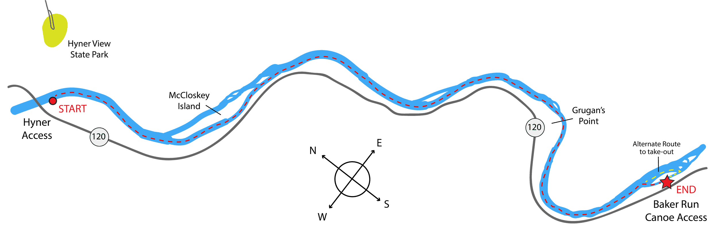
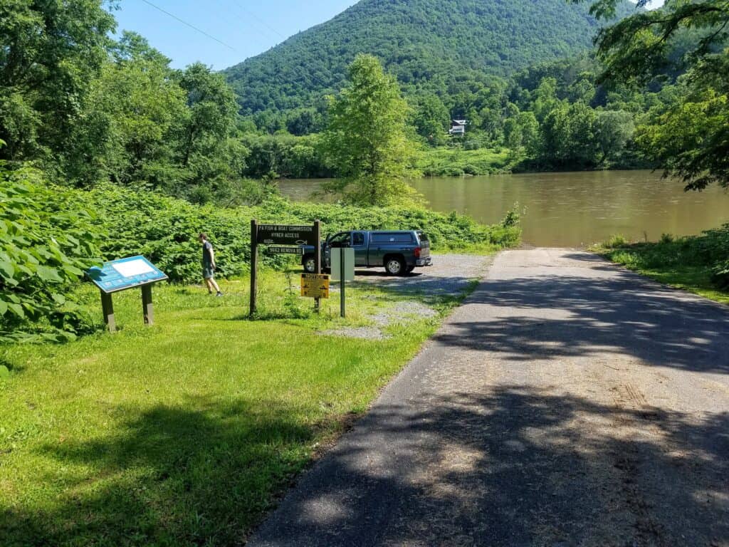
At the start of your paddle, put-in at Hyner Access (River Mile 90.8). This launch is a municipal access owned by Chapman Township with parking for 5 vehicles. It is close to Hyner Run State Park with access to the Donut Hole Trail, which is located 2.9 miles away by vehicle, and Hyner View State Park located 7.2 miles away. Keep your eyes on the skies for hang gliders that sometimes launch from the top of Hyner View State Park.
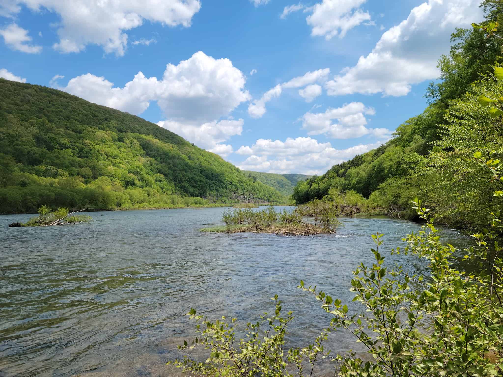
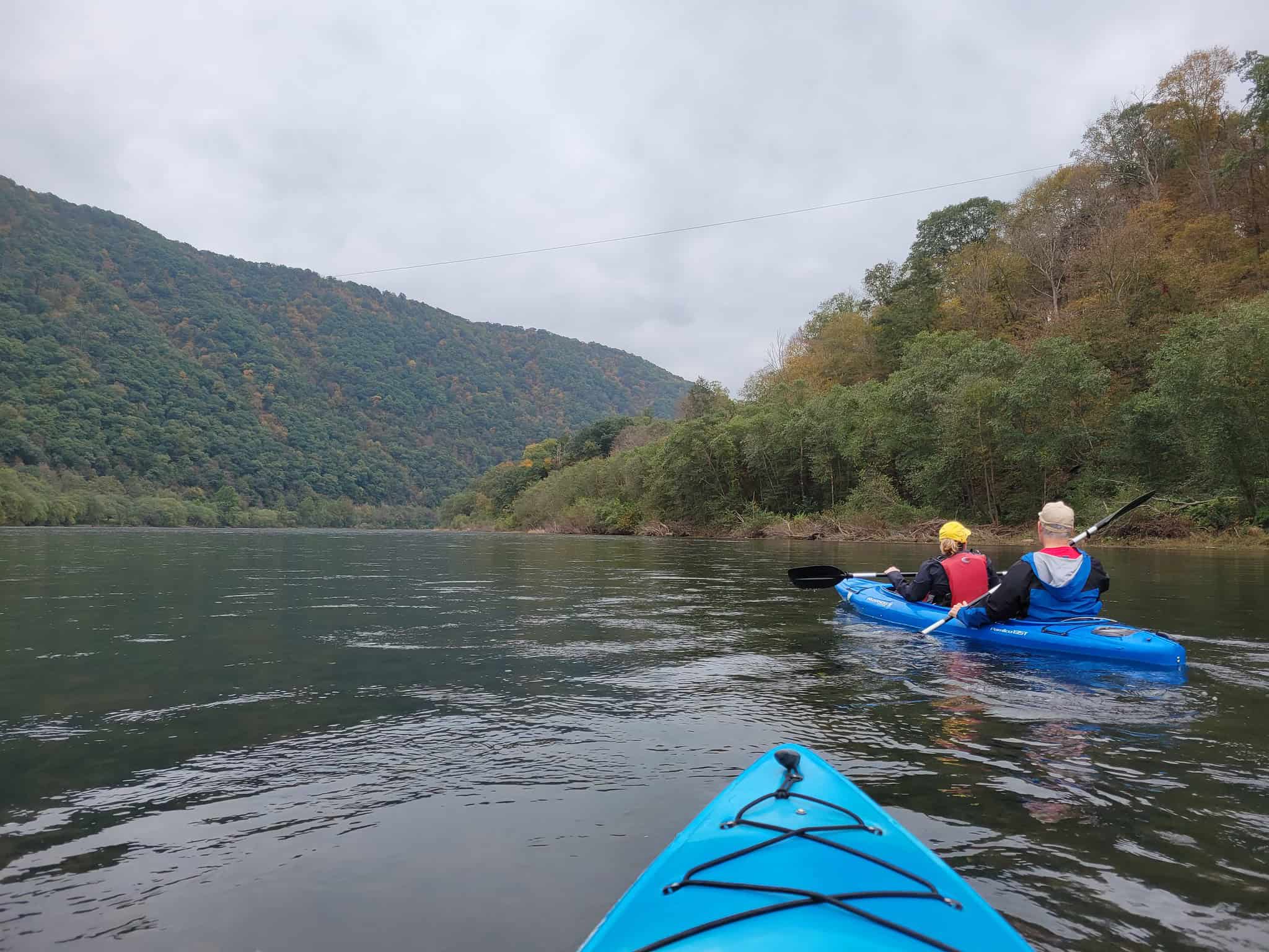
After 1.5 miles of paddling amidst the scenic valley, you will pass McCloskey Island and should stay river right to avoid shallow water. After another 2.7 miles you will pass another unnamed island, staying river right again to avoid shallow water.
Near River Mile 85, round the bend at a beach area known as Grugan’s Point. Here, the river bends right and then left again. After this large bend to the left at River Mile 84, paddlers should stay river right as you approach the Baker Run Canoe Launch. The launch is hidden behind a small island on river right near River Mile 83.1. You can stay to the right of the island to approach the access if water levels are sufficient or paddle to the right immediately at the base of the island. Water levels near the access can be shallow due to shifting sediment buildup in this location. The current can also move quickly here following high water events.
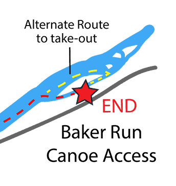 Should water levels be insufficient to paddle on the right side of the island, continue on the left side of the island and then navigate upriver around its base to backtrack to the take-out at Baker Run (see Alternate Route on the map above).
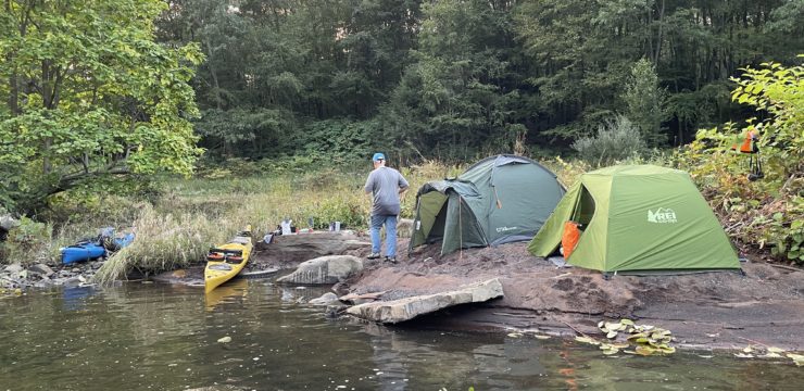
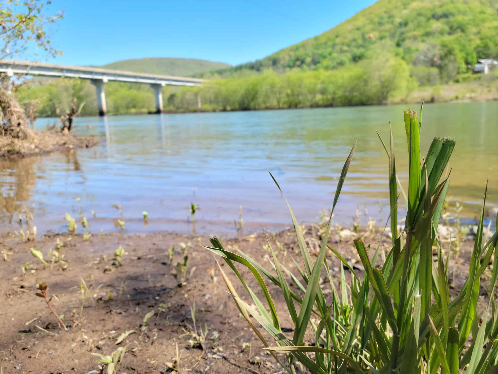
This access is owned by DCNR Bureau of Forestry with parking for 10-15 vehicles. There are seasonal restrooms, picnic tables, and primitive camping available at this access. Call Sproul State Forest at 570-923-6011 for camping permit and regulations. Please remember to ‘Leave No Trace’ and take all trash with you when you leave. The next public access point is at River Mile 70, Lock Port Recreation Area Access in Woodward Township, across the river from Lock Haven.
This itinerary corresponds with Section 9 of the Susquehanna River Water Trail – West Branch Map & Guide.

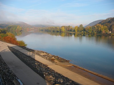
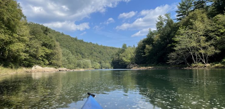
West Branch between Hyner and Baker Run
Amenities
Hyner Access does not feature any amenities; however, food, water, and restrooms are available at a restaurant located near the access, as well as at Hyner Run and Hyner View State Parks, and in the nearby towns of North Bend and Renovo. Baker Run Canoe Launch has seasonal restrooms, picnic tables, and primitive camping. Food and lodging are available in the nearby Susquehanna Greenway River Town of Lock Haven.
Put In
River Mile 90.8; Hyner Access
Take Out
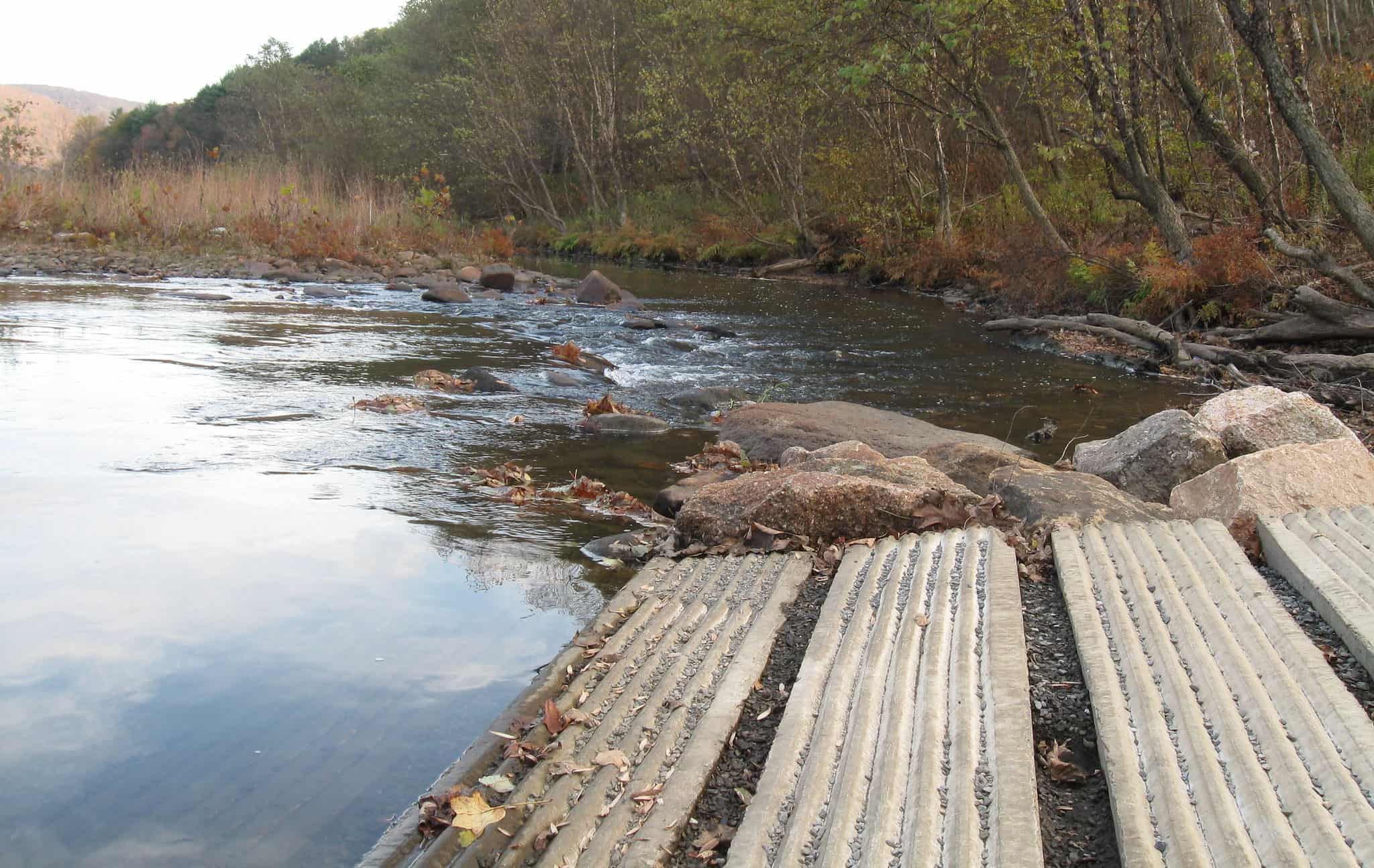
River Mile 83.1; DCNR Baker Run Canoe Launch
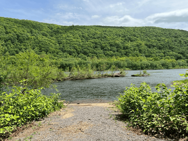
Baker Run Canoe Launch
This route corresponds with Section 9 of the Susquehanna River Water Trail – West Branch Map & Guide, a waterproof resource which provides additional details on amenities, points of interest, emergency contacts, and gage height.