
At A Glance
This day trip is a moderate to difficult paddle that is best suited for experienced paddlers. It is a great trip for those who want to explore a remote region of Pennsylvania, traverse river boulders, and observe an abundance of flora and fauna. Keep an eye on the riverbanks and above for wildlife sightings.
Description
Launch at PFBC Frenchville Access (River Mile 148.8), located across the river from the mouth of Deer Creek next to the Deer Creek bridge. Paddlers will immediately pass underneath the bridge and turn as the river bends right. About a mile into your paddle, the river will narrow to only 90 feet in width. Following this narrow ninety-foot gap, the river continues relatively straight for about a mile.
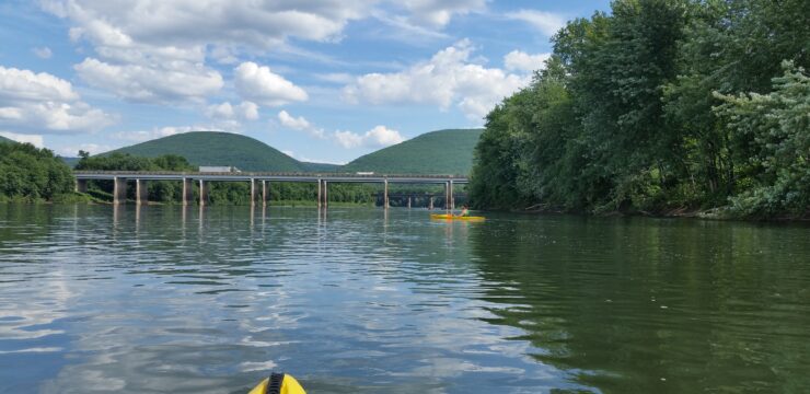
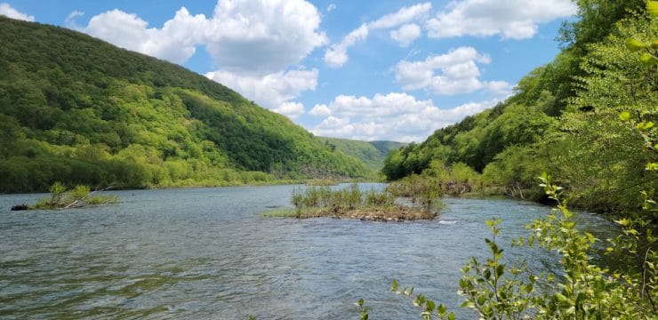
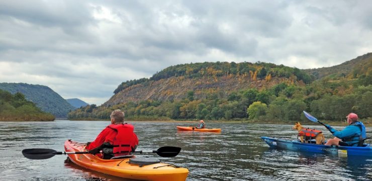
Photo by Patrick Greenabaum
Because this section of the river is heavily forested, it is great for observing wildlife. Bald eagles, osprey, great blue herons, and woodland warblers and thrushes can be heard and seen along this stretch. Larger animals such as deer and bear may make appearances along the riverbanks while river otters and mink can be seen skulking along the shorelines or swimming just beneath the surface of the water.
At river mile 145, paddlers will encounter Ring Rock. This stretch begins to expose the large boulders that this section in known for. Please take caution to maneuver around them. After you pass Ring Rock, you will pass the mouth of Sandy Creek on river left, then Alder Run on river right. After Alder Run, the river bends left, continues straight for 0.5 miles, then turns right and continues for another 0.5 miles, passing underneath Rolling Stone (SR-1011) Bridge. The river takes another bend left and continues straight for 1 mile. In this straight stretch, paddlers will encounter points known as Big Basin and Little Basin.
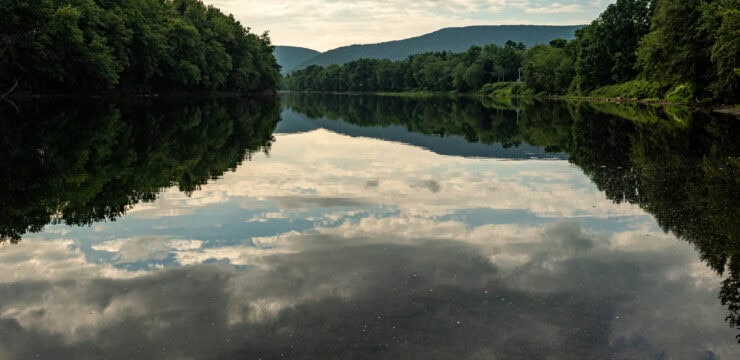
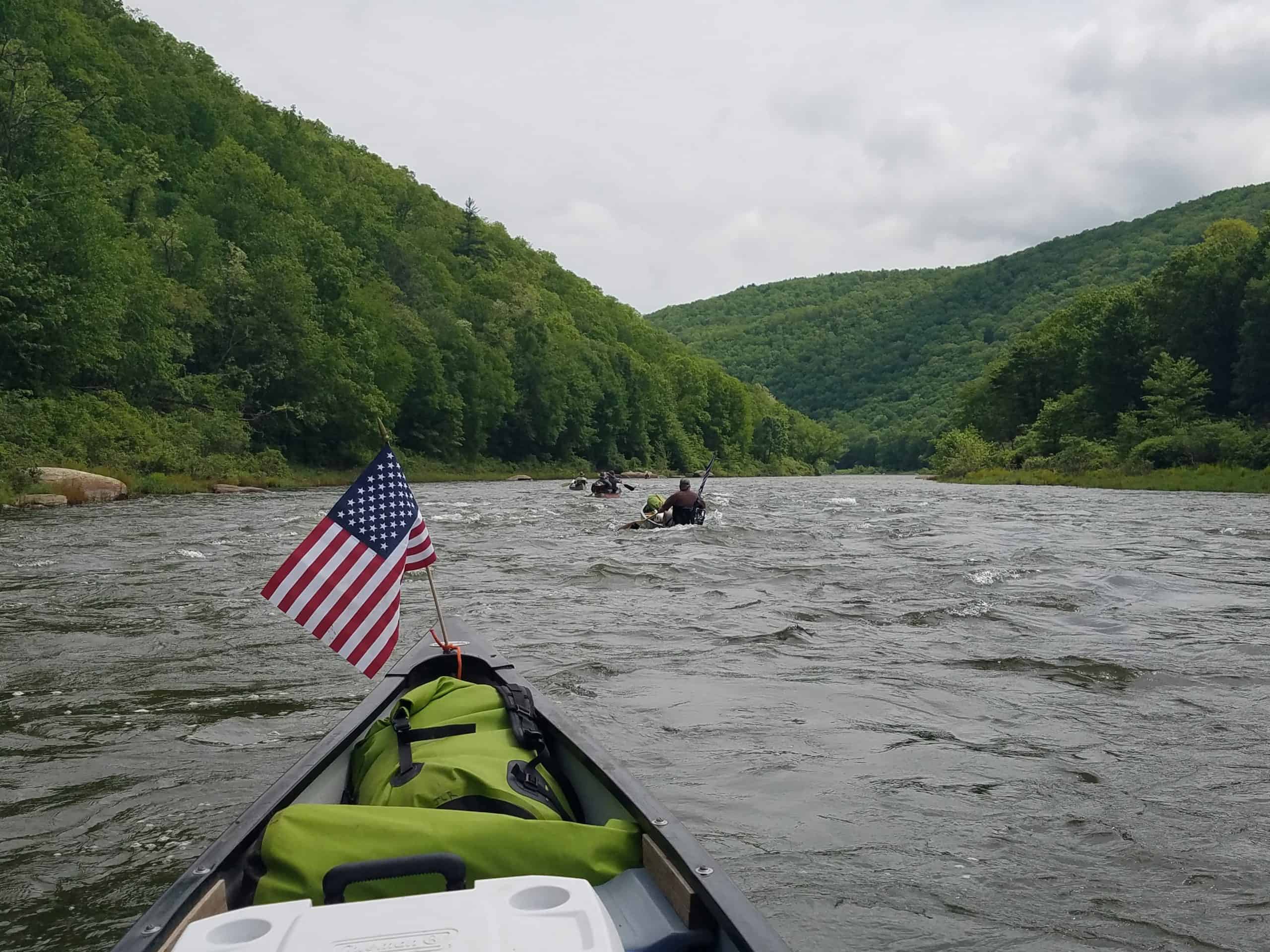
Photo by Mark Heller
This route is known for its changing water depths (very shallow at Big Sink and Little Sink), as well as its rock gardens (such as Little Stepping Stones and Indian Steps Boulders).
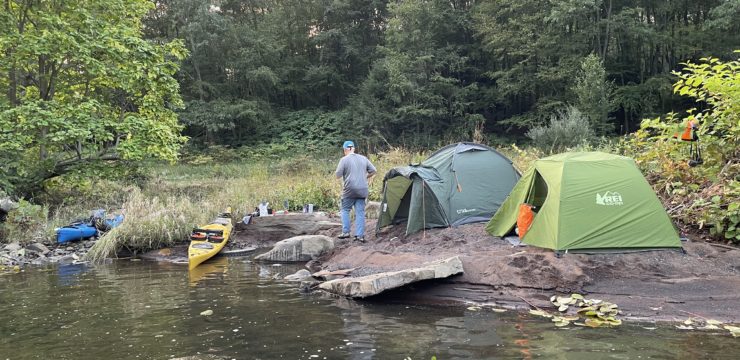
Paddlers will encounter several series of boulders, one of which creates Class II rapids at Moshannon Falls; use caution here. The second half of the route also passes through State Game Lands. No camping is permitted on State Game Lands, but paddlers may take-out for a brief period—enough time to stretch your legs, rest, and eat a snack.
Shortly after the Falls is a fishing location known as Catfish Hole, which is an excellent spot for those who are interested in fishing from their kayak or canoe. The river then bends and Moshannon Creek will be on river right. Moshannon Creek can be recognized by its orange-red water that has been caused by acid mine drainage.
Across the river from the mouth is Miller Landing on river left. Miller Landing was a former rafting point and where the Bicentennial Raft was built in 1976. The reconstruction represented the old logging rafts that were both watercraft and cargo. Lumber workers transported these rafts to larger cities such as Lock Haven, Williamsport, Harrisburg, and the Chesapeake Bay where the rafts were disassembled, and their wood sold to lumber companies.
The final stretch of this paddle is a straight, 3-mile run. About halfway along the stretch, you may be able to observe the other end of the Karthaus Railroad Tunnel on river left. After another mile, as the river bends slightly left, look for the Karthaus Boat Ramp on river right. Take out at the Karthaus Access (132.4).
Amenities
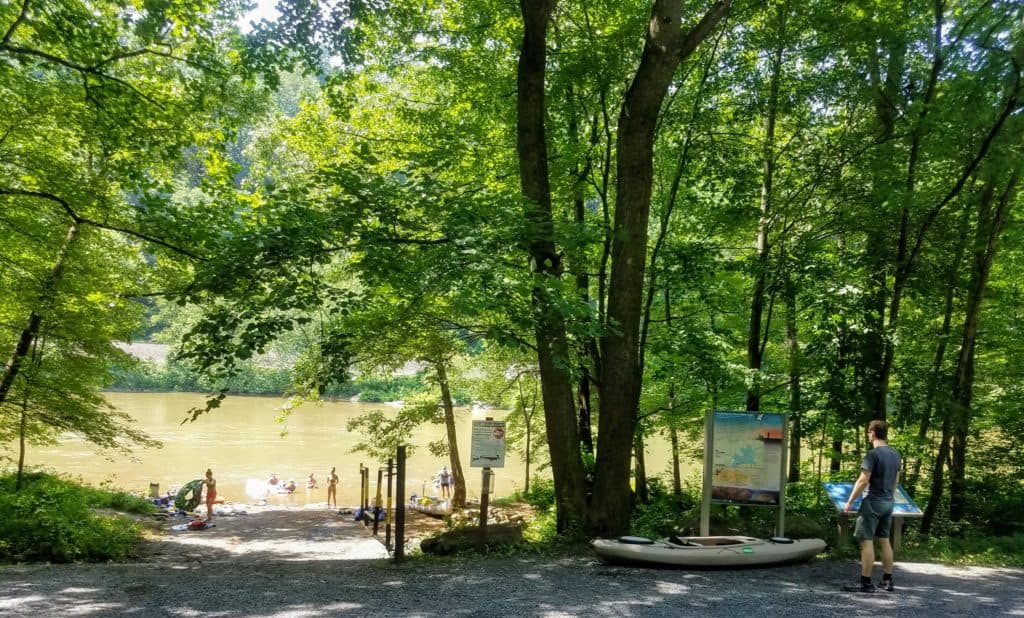
The Karthaus Access has camping, restrooms, and picnic areas available seasonally, with additional amenities available in the nearby town of Karthaus.
Put In
River Mile 148.8: PFBC Frenchville Access
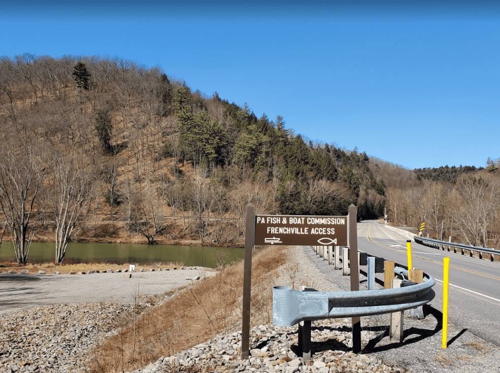
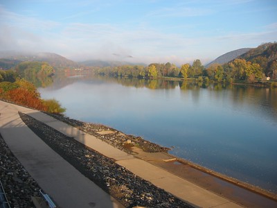
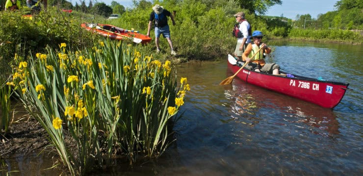
Photo courtesy of Donny Cartwright
Take Out
River Mile 132.4: Karthaus Access
PLEASE NOTE: Paddlers should always plan ahead and be prepared! This route is located along one of the most remote sections of the Susquehanna River and is surrounded mostly by private, forested land with no takeout opportunities.
This route corresponds with Section 5 of the Susquehanna River Water Trail – West Branch Map & Guide, a waterproof resource which provides additional details on amenities, points of interest, emergency contacts, and gage height.
Explore the Route Virtually