
At A Glance
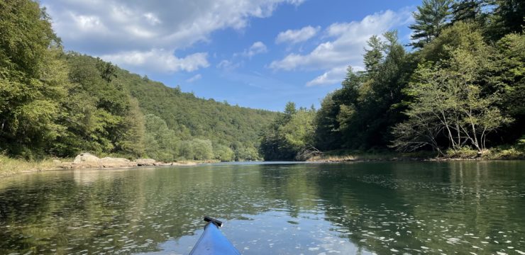
This day trip is an easy to moderate paddle that is good for most all skill levels. It is a great trip for those who want to observe historical remnants of the region’s lumber era, view wildlife and nature, and observe scenic views of Pennsylvania’s Bald Eagle Ridge.
Description
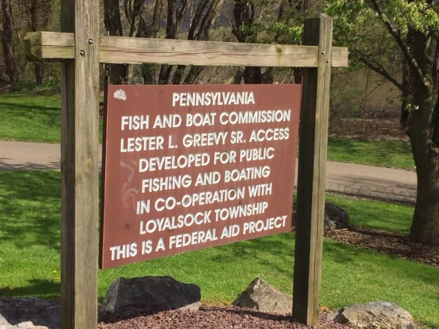
Launch at PFBC Greevy Access (River Mile 37.3). Immediately after launching, you will encounter Canfield Island on river left. This manmade island is listed on the National Register of Historic Places. The island was created by a 19th Century sawmill company, using the channel they created to funnel timber to their sawmill. More recently, it has been the subject of archaeological investigations with findings dating back to 6000 B.C. and was once the site of Otstonwakin, a major Native American settlement. Today, it features the James P. Bressler Memorial Trail that allows visitors to tour the island.
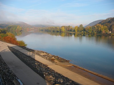
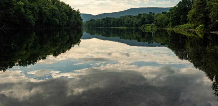
Continuing another mile downstream, you will pass the mouth of Loyalsock Creek on river left. The name Loyalsock is derived from a Native American word meaning “middle creek.” Here, the Native American village of Otstonwakin was home to Madame Montour, a famous Pennsylvania diplomat and interpreter and who the town of Montoursville is named after.
Loyalsock Creek; Photo by Mark Nance
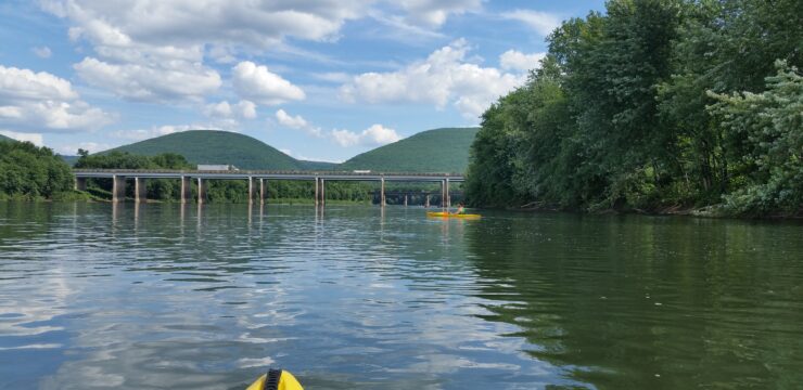
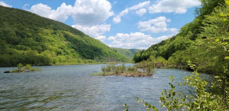
At mile 35.1, paddlers should exercise caution as they approach Racetrack Island and keep river left. Additionally, this island is private and stopping here is not allowed. Continuing past Racetrack Island, paddlers can view Tiadaghton State Forest on river right from mile 34.6 to 33.5 and mile 32.0 to 30.9. As with most of Pennsylvania’s large state forests, Tiadaghton was reclaimed by the state following the clear cutting and deforestation of the 19th century. Today, most of Tiadaghton’s nearly 150,000 acres lies within Lycoming County.
At mile 32.6, paddlers should, again, exercise caution as they approach King Island and keep river right. Continuing downstream, paddlers will follow along Bald Eagle Ridge, an important raptor flyway, on river right from mile 32 – 29. During migration, groups of Broad-winged Hawks known as “kettles” can be seen circling overhead, sometimes gathering in hundreds.
Around mile 30 are two notable historic sites on river left: Samuel Wallis’s Homestead & Estate and Fort Muncy. Wallis, an ambitious land speculator, built a two-story stone house on the 7,600 acres he acquired from the William Penn family. A few hundred yards in front of his home, Fort Muncy was constructed at his request. The fort became a safe haven for protecting settlers from Native American attacks.
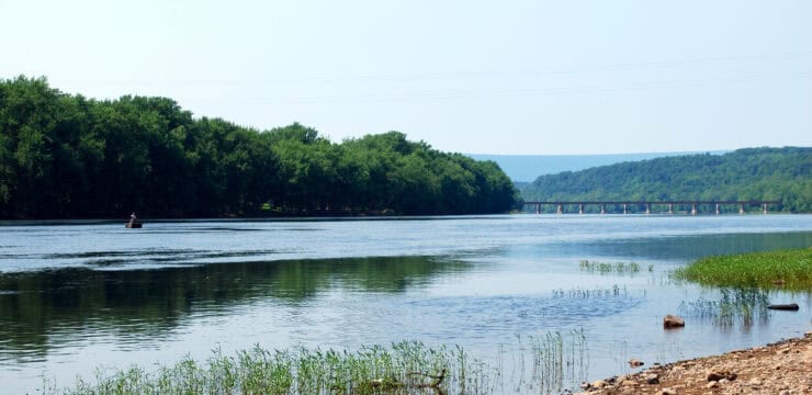
At mile 28.0, paddlers will pass the mouth of Muncy Creek and Wolf Creek on river left. The location is believed to be a former Native American settlement and once held an earthen structure known as the “Ancient Fortification.” Wolf Creek is named after the large population of wolves that once lived around this area.
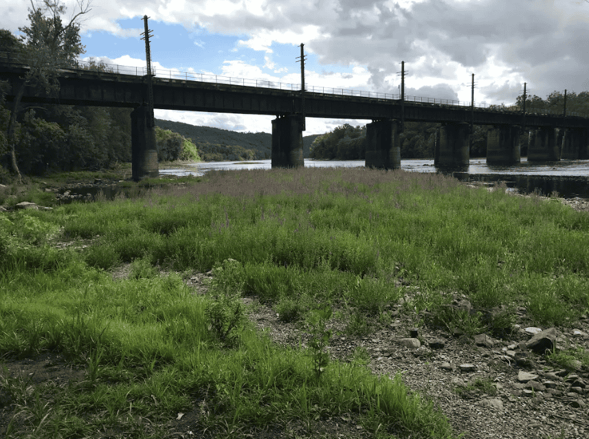
At mile 27.8, the PFBC Representative Garth Everett Muncy Access will be located on river left and offers an alternative takeout location. Another mile downstream, paddlers will pass underneath the Water Street Bridge enter the village of Muncy on river left, a town named after the Munsee Native Americans. After paddling another mile, navigate to the takeout at Muncy Heritage Park Access (River Mile 26.7).
Amenities
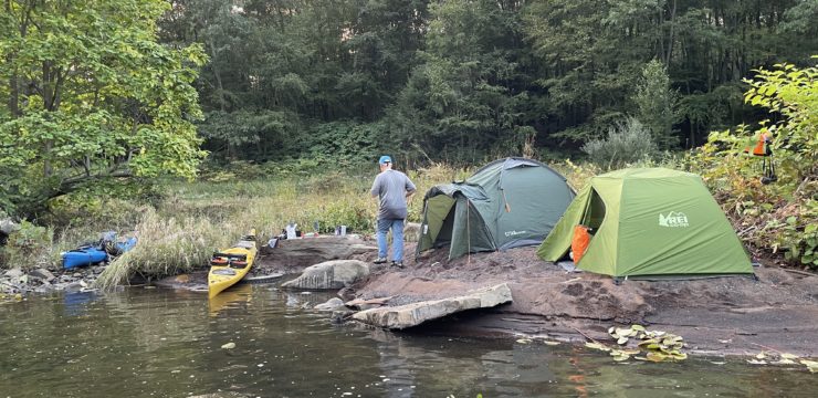
PFBC Greevy Access features flush restrooms and a picnic area. Food and lodging can be accessed in nearby Montoursville and the Susquehanna Greenway River Town of Williamsport. Muncy Heritage Park Access features seasonal porta potties, a picnic area, and drinking fountains. Additional amenities such as food and lodging can be accessed in nearby Muncy.
Put In
River Mile 37.3: PFBC Greevy Access
Take Out
River Mile 26.7: Muncy Heritage Park Access
This route corresponds with Sections 13 & 14 of the Susquehanna River Water Trail – West Branch Map & Guide, a waterproof resource which provides additional details on amenities, points of interest, emergency contacts, and gage height.
Explore the Route Virtually