


At A Glance
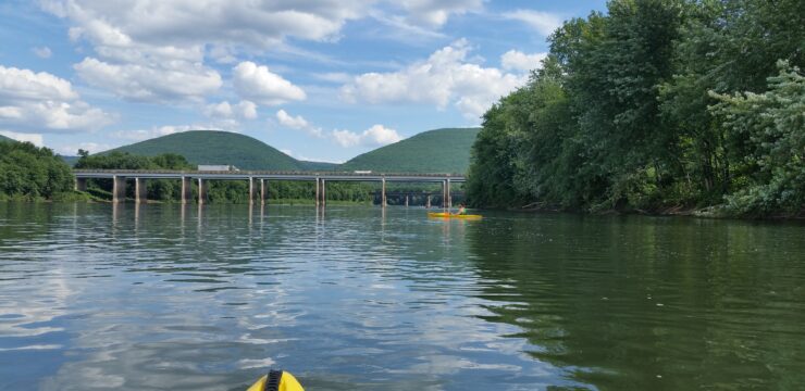
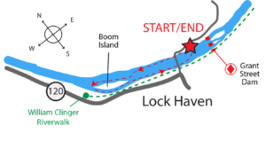
The Lockport Loop Trail is a scenic 2.4-mile paddle on the calm, lake-like waters of the West Branch Susquehanna River above the Grant Street Dam. Beginning and ending at Lockport Recreation Area Access—one of the most ADA-friendly river access sites on the West Branch featuring accessible parking, paved pathways, and a stable boat launch. Paddlers enjoy a leisurely trip around a wooded island, expansive river views, and views of downtown Lock Haven and the William Clinger Riverwalk (Levee Trail). Ideal for beginners, adaptive paddlers, or anyone with a few hours to spare, this route offers a relaxing and accessible on-water experience close to community amenities.
Description
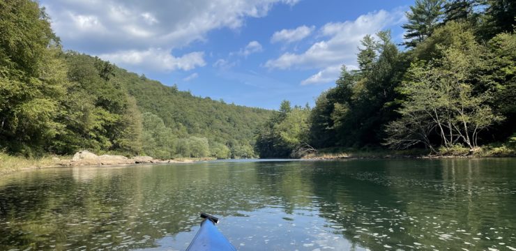
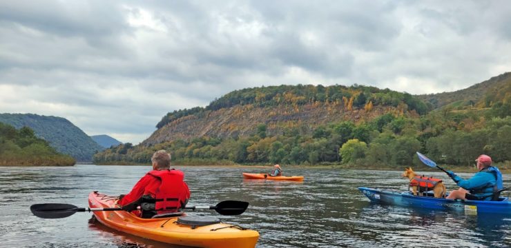
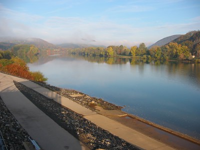
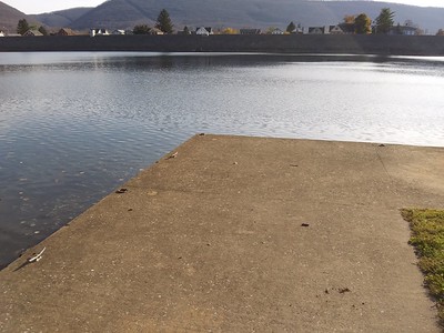
This approximately 2.4-mile paddle route begins and ends at Lockport Recreation Area Access, a well-developed and accessible municipal launch on the West Branch Susquehanna River. Paddlers launch from the site’s concrete boat ramp and proceed upstream (west) along the northern shoreline. The route follows a broad, slow-moving section of river characterized by deep water, minimal current, and wide channel widths, making it suitable for novice paddlers and adaptive recreation users.
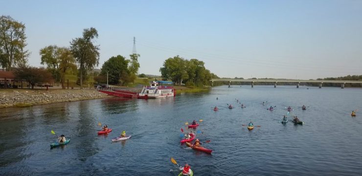
After approximately 0.8 miles, the route reaches a large, vegetated island. Paddlers continue around the island in a counterclockwise loop, exploring a quieter side channel that provides a more sheltered paddling experience and opportunities to observe riparian vegetation, wildlife, and island habitat. Upon completing the island loop, paddlers re-enter the main river channel and begin the return trip downstream.
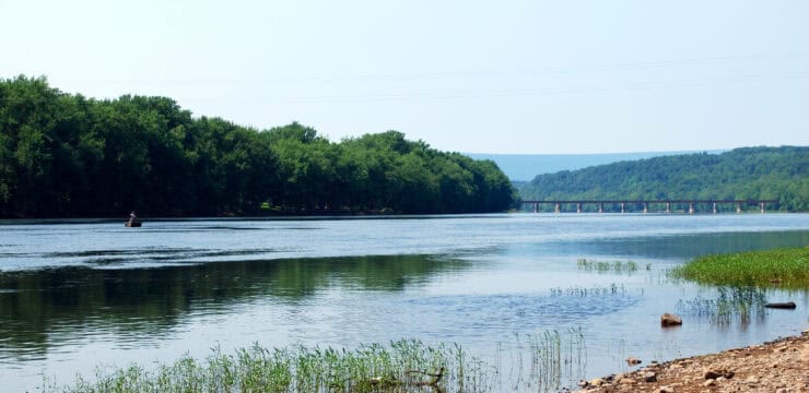
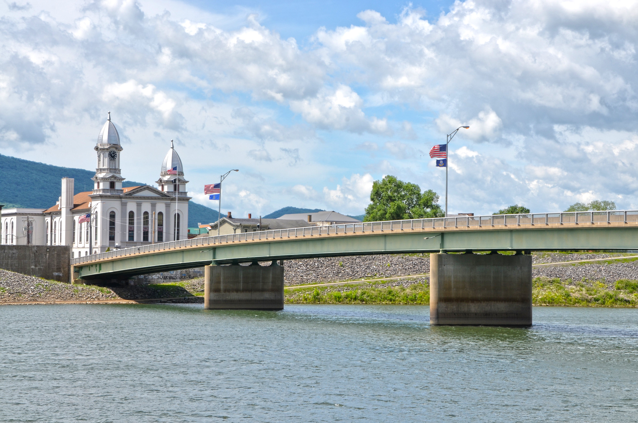
The return segment follows the southern shoreline for approximately 1.6 miles. Along this section, paddlers enjoy views of downtown Lock Haven and the Lock Haven Levee Trail, also known as the William Clinger Riverwalk. This flat, paved 2.25-mile trail runs atop the flood-control levee that separates the city from the river and is a popular destination for walking, running, and cycling. The well-lit pathway parallels much of the route, creating a strong visual connection between river users and the community while providing additional opportunities for accessible outdoor recreation.
The route concludes back at Lockport Recreation Area Access, where accessible parking, loading areas, benches, picnic tables, informational signage, and other visitor amenities support a comfortable paddling experience. With its stable launch facilities, paved infrastructure, favorable water conditions, and proximity to the Levee Trail and downtown amenities, this route offers one of the most accessible and user-friendly paddling experiences along this section of the West Branch Susquehanna River.
Amenities
Lockport Recreation Area Access provides one of the stronger foundations for ADA accessibility along the West Branch Susquehanna River. The site includes two paved parking areas with a total of 56 spaces, including five ADA-designated parking spaces distributed across both lots. The larger main lot contains four accessible spaces, two of which are van-accessible, while the upper lot includes one accessible space. Parking areas are well-striped and include access aisles and a designated loading zone that support safe and convenient access.
Accessible routes connect key site amenities, including the boat launch area, dock, parking lots, and restroom facility. The site features a wide concrete boat ramp and fixed dock that provide stable access to the water. A permanent restroom building is present and connected by an accessible route, though it is currently closed for renovations. Once reopened and confirmed to meet ADA standards, the facility will significantly improve the overall accessibility of the site.
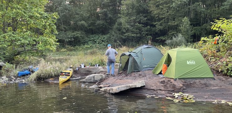
Additional amenities, including picnic tables, benches, lighting, trash receptacles, and informational signage, contribute to visitor comfort and usability. Combined with its paved infrastructure, accessible parking, and favorable water conditions, Lockport Recreation Area Access offers a well-developed and generally accessible river access experience.
Put In & Take Out
Lockport Recreation Access, Swissdale Rd, Lock Haven, PA 17745 | West Branch River Mile 69.8, River Left