At a Glance:
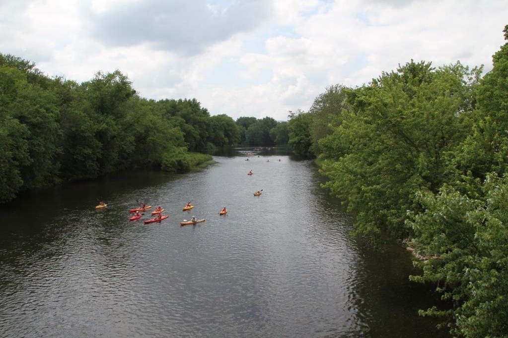
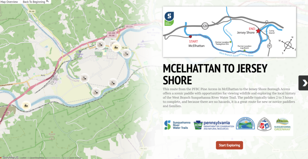
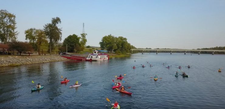
This route from the PFBC Pine Access in McElhattan to the Jersey Shore Borough Access offers a scenic paddle with opportunities for viewing wildlife and exploring the local history of the West Branch Susquehanna River Water Trail. The paddle typically takes 2 to 3 hours to complete, and because there are no hazards, it is a great route for new or novice paddlers and families.
Description:
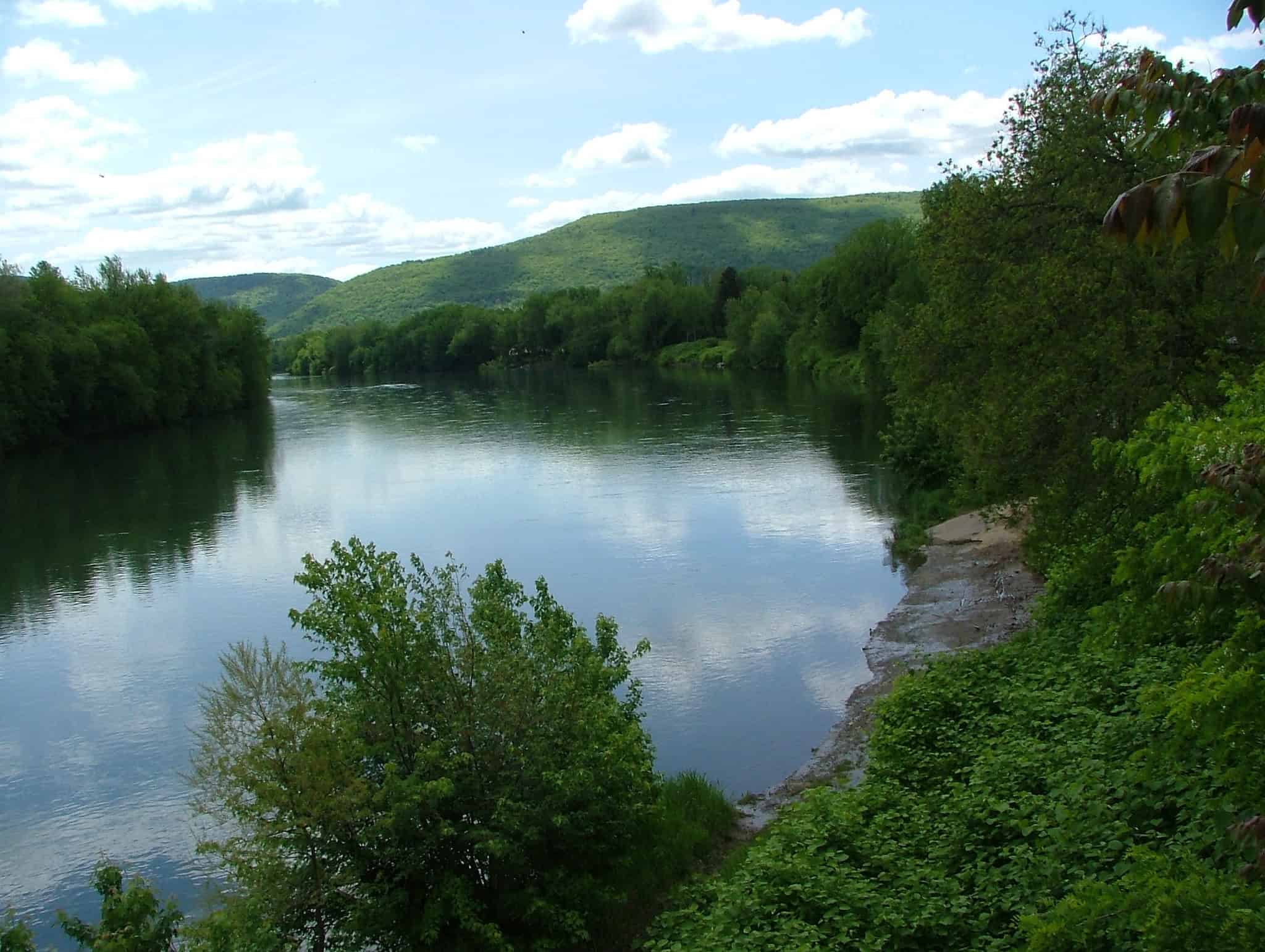
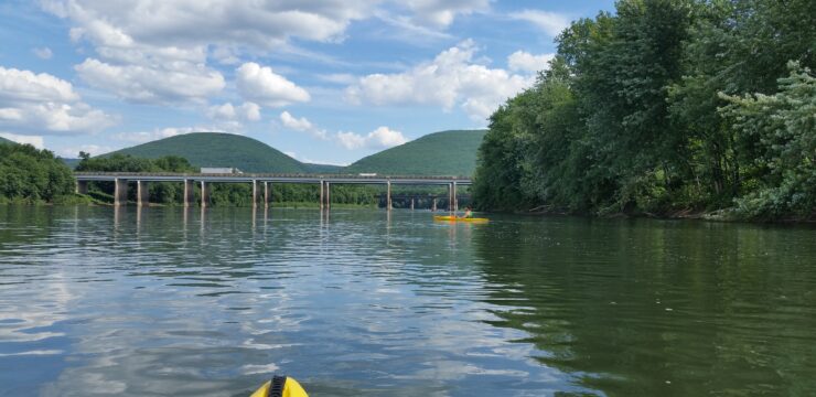
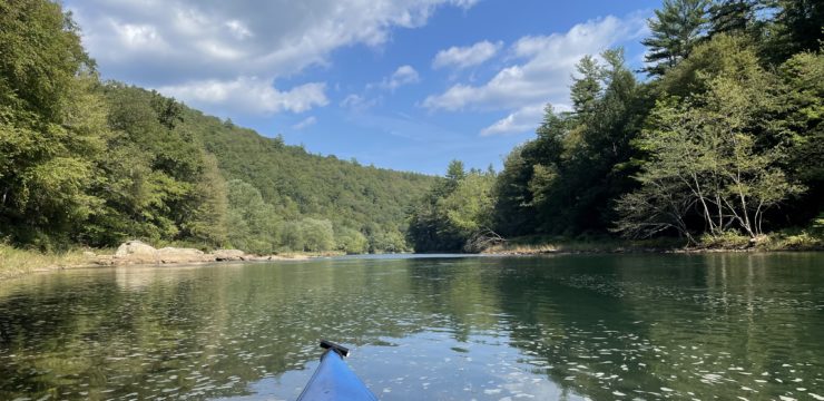
Begin your journey by launching your kayak from PFBC Pine Access at River Mile 61.9 on river right. This access is located in Alan Gardner Memorial Park in Wayne Township. The park has a playground, picnic facilities, and seasonal port-a-potties. There is plenty of parking and the launch is paved, suitable for both motorized and non-motorized boats. As you paddle downstream from here, soak in the picturesque mountain views and green riverbanks and keep an eye out for wildlife and birds along the bank and fish darting beneath the surface.
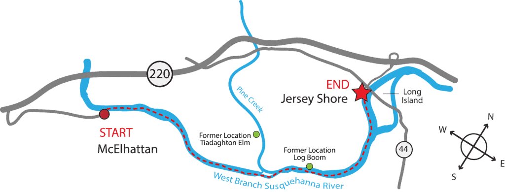
Along the way, you’ll pass the mouth of Pine Creek at River Mile 58.7 on river left, known for its significance to the region’s lumber heritage. Pine Creek also boasts geological importance as the longest “creek” in the world, adding to the allure of the landscape you traverse. It flows from its source in Potter County through the Pine Creek Gorge, AKA the Pennsylvania Grand Canyon, on its journey to the confluence of the Susquehanna River at Jersey Shore.

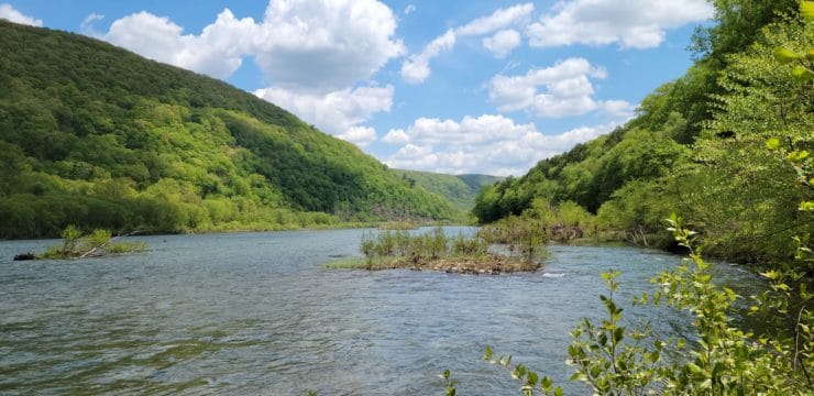
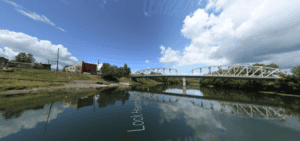
The mouth of Pine Creek is on the right here looking back up stream, as you paddle from the PFBC Pine Access; Photo Credit: Terrain 360.
One mile north of the confluence, on the west bank of Pine Creek, you’ll find the former location of the “Tiadaghton Elm.” It was here, on July 4, 1776, that the local “Fair Play Men” declared freedom from Great Britain, unaware that the Continental Congress in Philadelphia was signing the Declaration of Independence that very same day.

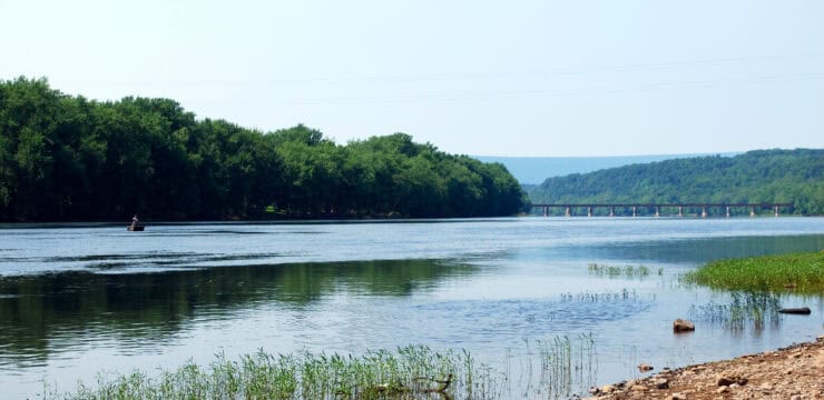
View of Long Island; remember to stay to the left of the island if you intend to land at the Jersey Shore Borough Access; Photo Credit: Elizabeth Moore.
As you paddle, take advantage of any calm stretches to relax and enjoy the tranquility of the river. Approximately halfway through your route, you’ll reach the outskirts of Jersey Shore, PA. Keep an eye out for several islands scattered along the river and vegetation. This area offers a chance to observe wildlife and appreciate the natural beauty of the river environment.
As you continue downstream, you’ll see the former location of the Jersey Shore booms at river mile 57.7, which was a historical logging operation dotting the riverbanks. Be mindful as you go around the bend and stay river left at Long Island (River Mile 56), to ensure you don’t miss the Jersey Shore Borough Access at River Mile 55.6 on river left.
Once ashore, take some time to explore the Susquehanna Greenway River Town of Jersey Shore. Grab a bite to eat or a drink at one of several restaurants, bars, or breweries, or visiting local attractions to complement your paddling adventure. Jersey Shore is also the southern terminus of the Pine Creek Rail Trail, which runs from Jersey Shore to the outskirts of Wellsboro, traversing Tioga and Tiadaghton State Forest lands. For 55 of its 62 miles it hugs Pine Creek, providing great views of dramatic rock outcrops and numerous waterfalls.
Remember to check weather conditions and water levels before setting out, and always wear appropriate safety gear such as a life jacket and whistle. Enjoy your paddle along the West Branch Susquehanna River Water Trail!
Amenities:
Boat Ramp, parking, and restrooms at each access; the Jersey Shore access offers various dining options such as restaurants, cafes, or food trucks where paddlers can grab a meal or refreshments.
Put in:
River Mile 61.9; PFBC Pine Access
Take out:
River Mile 55.6; Jersey Shore Borough Access
This route corresponds with Section 11 of the Susquehanna River Water Trail – West Branch Map & Guide, a waterproof resource which provides additional details on amenities, points of interest, emergency contacts, and gage height.


