At A Glance
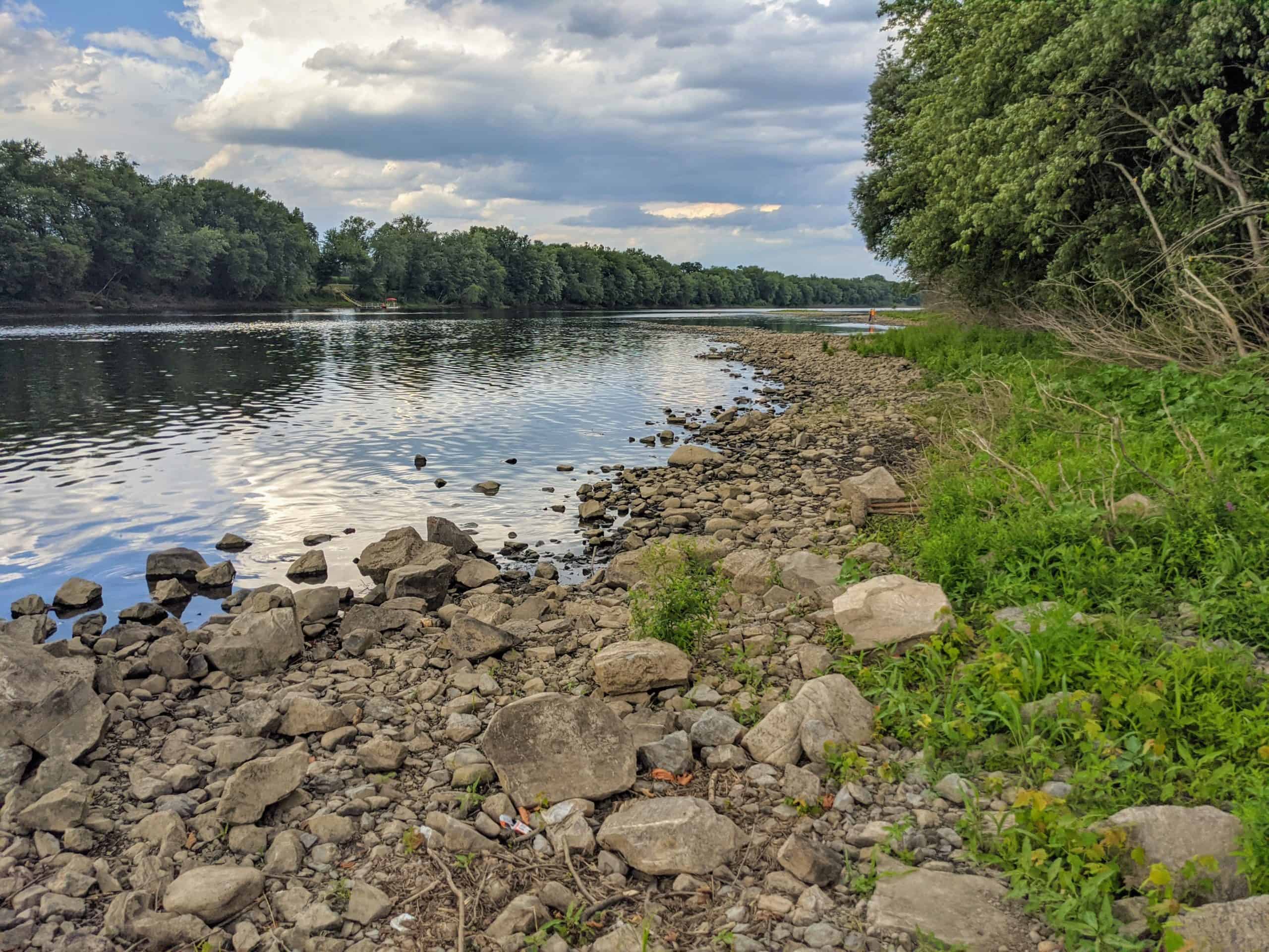
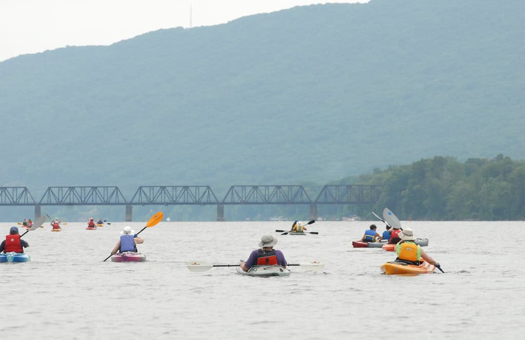
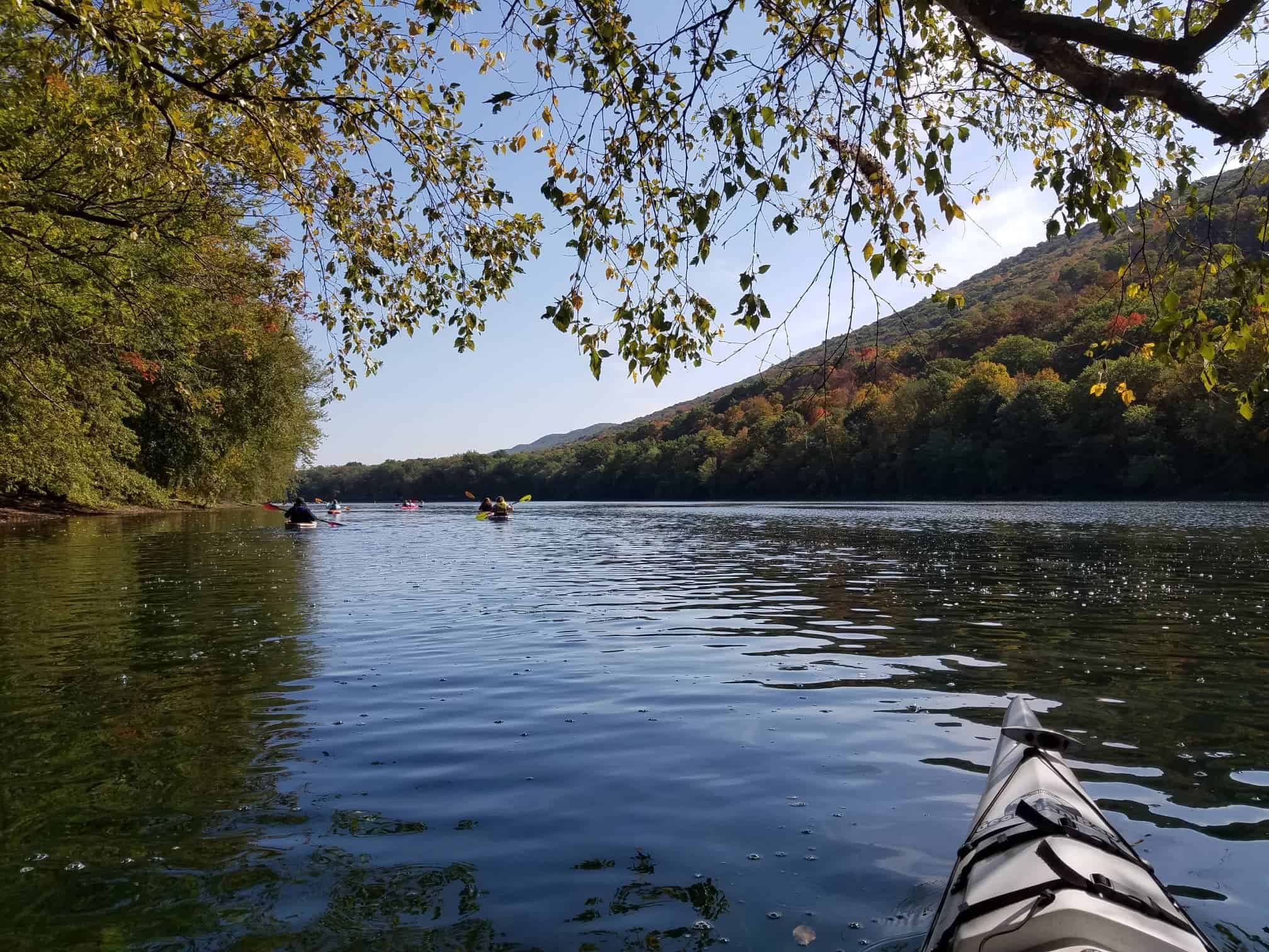
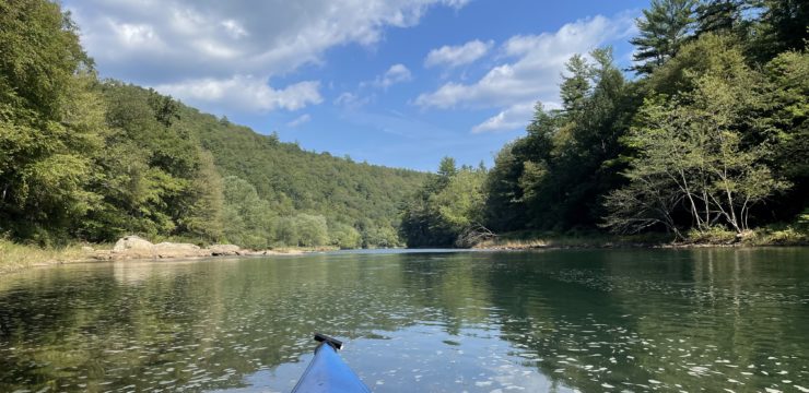
For those looking for a longer day out on the river, this paddling trip is a great choice. Throughout your paddle, you will get to experience the sights of the iconic West Branch of the Susquehanna River and make a stop at the vibrant river town of Jersey Shore.
Description
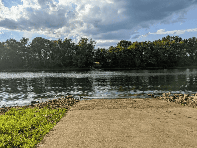
Begin by launching from the PFBC Pine boat ramp at Alan Gardner Memorial Park, and make sure you have your launch permit on hand.
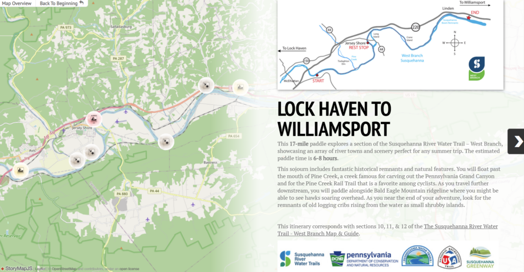
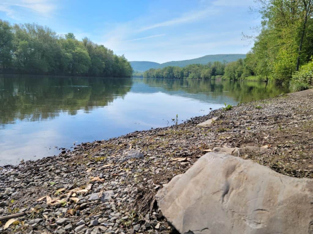
Enjoy the sights and sounds of the river as you paddle the first few miles. Eventually you will come to the mouth of Pine Creek (RM 58.7), which itself is a very popular paddling spot, and is also intersected by the Pine Creek Rail Trail. One mile north on the west bank of Pine Creek is the former location of the “Tiadaghton Elm” tree. This historic landmark is where on July 4, 1776, the local “Fair Play Men” drew up a resolution declaring freedom from Great Britain, not realizing that the Continental Congress in Philadelphia was signing the Declaration of Independence at the very same time.
About a mile further (RM 57.7) and you will encounter the former location of the Jersey Shore log boom. Booms were barriers placed in a river designed to collect logs that were sent to float down the river. As the logs floated downstream and reached the booms, they were then guided to one of several sawmills based on the brand burned into each one. This practice was used throughout the 19th and early 20th centuries.
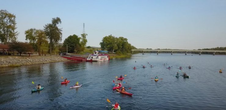
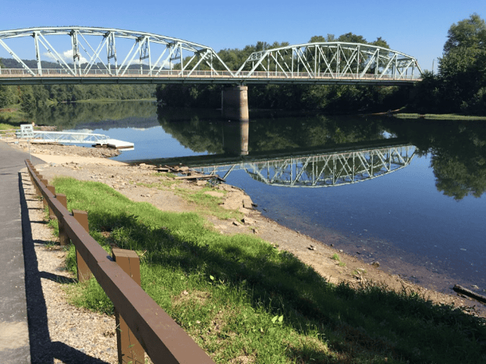
About a mile later, you will approach Long Island (RM 56.2). Take the left channel to head in the direction of the Jersey Shore borough access (RM 55.7), which is located river left before the PA-44 bridge. Feel free to stop at this vibrant river town for a break, with restrooms, drinking water, and food/groceries, all nearby. Stick around or plan a trip to come back and experience the beautiful 62-mile Pine Creek Rail Trail, often recognized as one of the best hiking trails PA has to offer.
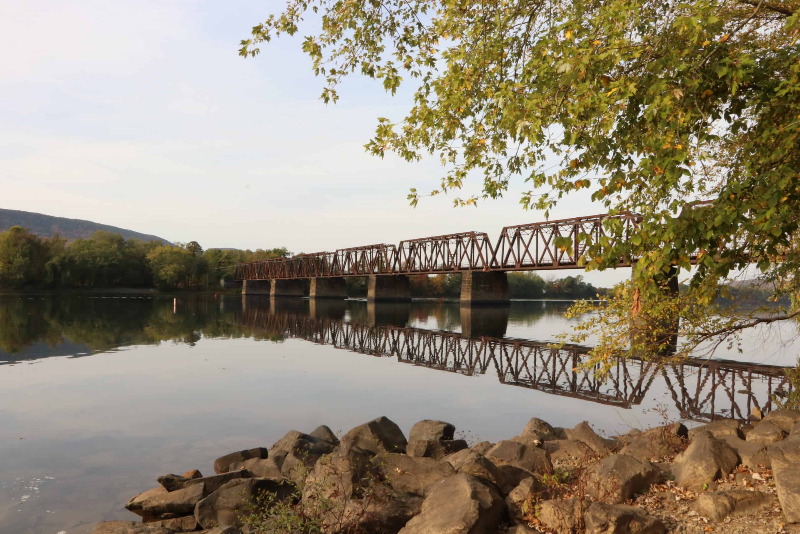
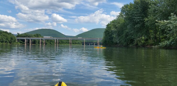
Once re-entering the river, continue paddling as you pass under the PA-44 bridge and travel up the coast of Long Island. Enjoy the next couple miles of paddling as you approach Crane Island, around river mile 52. Go river left around the island, and keep close to the shoreline as you enter the 12-mile pool behind Williamsport’s Hepburn Street Dam. Be cautious of heavy boat traffic along this 5-6 mile stretch to Linden, as it can become very congested during the summer. Along the way you may also see remnants of the Susquehanna Boom; the largest boom on the West Branch.
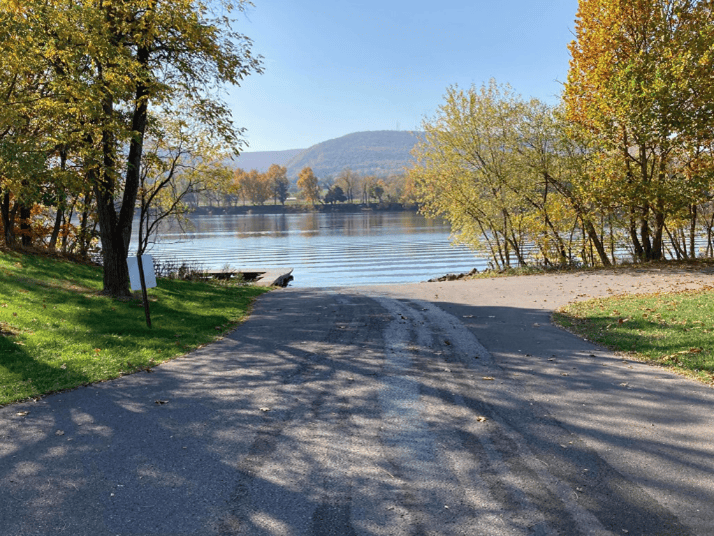
As you approach the PFBC Linden access (RM 45.4), be mindful of any boats on the ramp before getting out of the river.
Amenities
PFBC Pine has restrooms and picnic tables. The Jersey Shore borough access has restrooms, drinking water, picnic tables, and food, lodging, and groceries nearby in Jersey Shore. The PFBC Linden access has seasonal restrooms, with lodging, food/groceries, and more in the nearby city of Williamsport.
Put In
River Mile 61.9: PFBC Pine Access (boat ramp)
Rest Stop
River Mile 55.6: Jersey Shore Borough Access
Take Out
River Mile 45.4: PFBC Linden Access (boat ramp)
This route corresponds with Sections 10, 11, and 12 of the Susquehanna River Water Trail – West Branch Map & Guide, a waterproof resource which provides additional details on amenities, points of interest, emergency contacts, and gage height.


