


At a Glance
The paddling route, beginning at Memorial Park Access in Lock Haven, is a mid-level paddle for anyone who wants to enjoy the scenic West Branch Water Trail. Paddle past Great Island and follow the Susquehanna alongside the Bald Eagle Valley Trail, spotting wildlife, historic eel weirs, and scenic farmland before taking out at PFBC Pine Access near McElhattan.

Description:
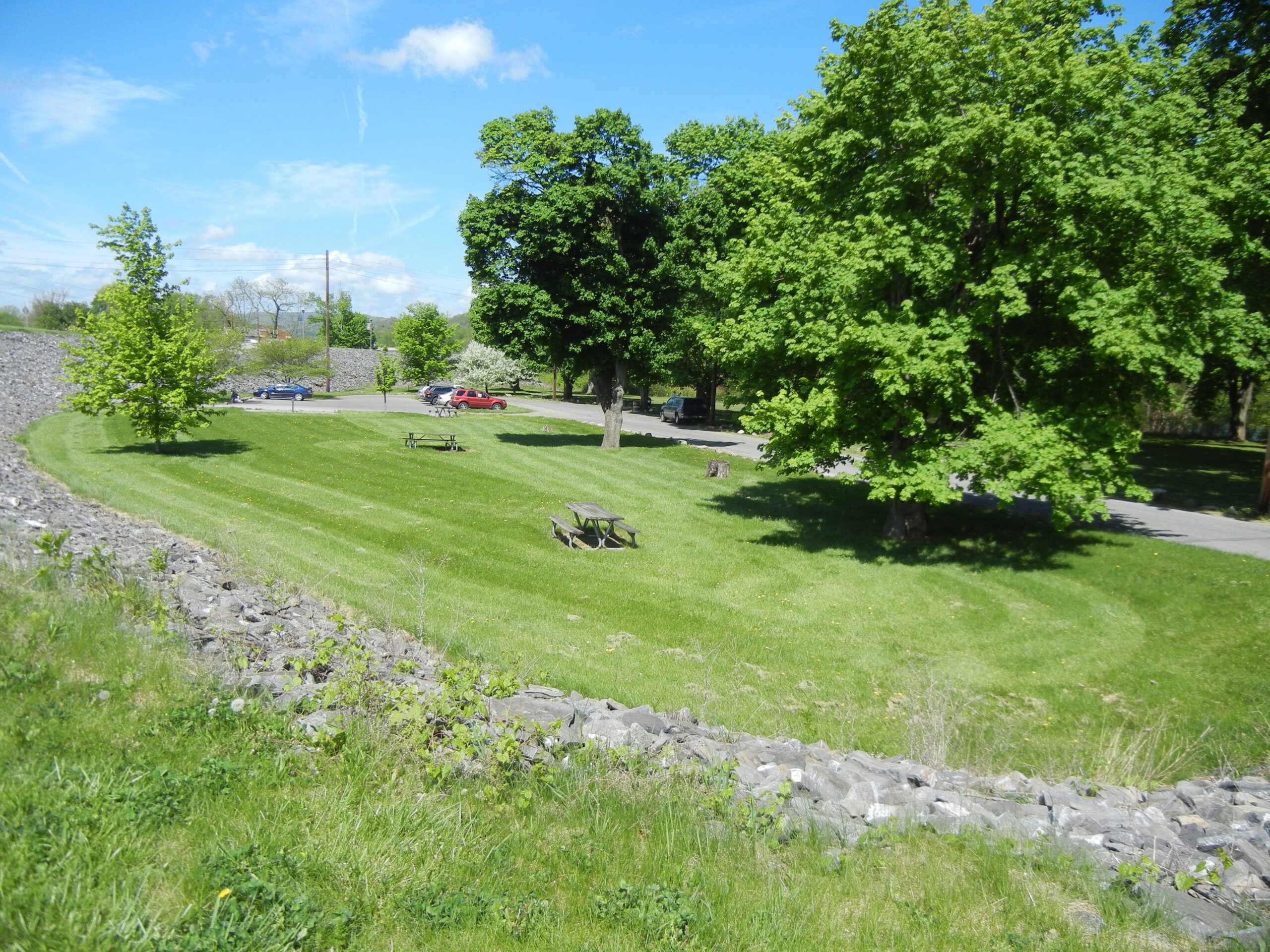
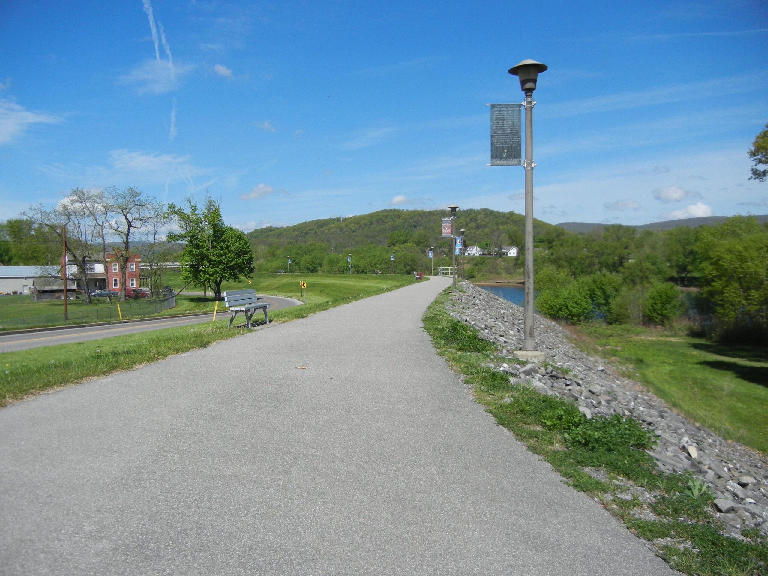
Begin at Lock Haven Memorial Park Access. The 5.5-acre grass park has picnic tables, a small lot suitable for about 12 cars, and has convenient access to food, lodging, and restrooms in nearby Lock Haven, a designated Susquehanna Greenway River Town. The park has direct access to the William Clinger Riverwalk, otherwise known as the Lock Haven Levee Trail, and runs parallel to the Susquehanna River for 2.2 miles to the other trail head across from Lock Haven University. The park is on the National Register of Historic Places as an archaeological site and is right next to the Piper Aviation Museum.
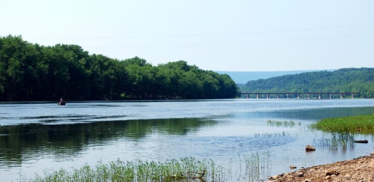
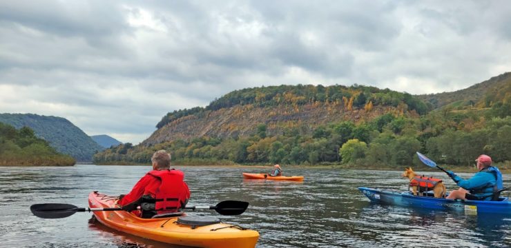
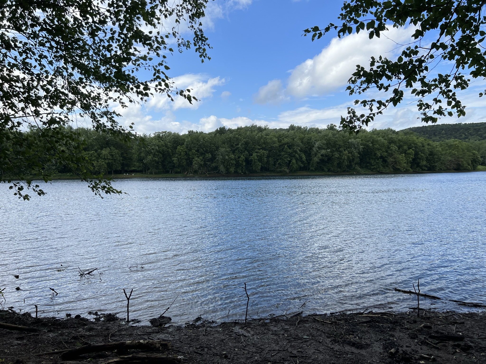
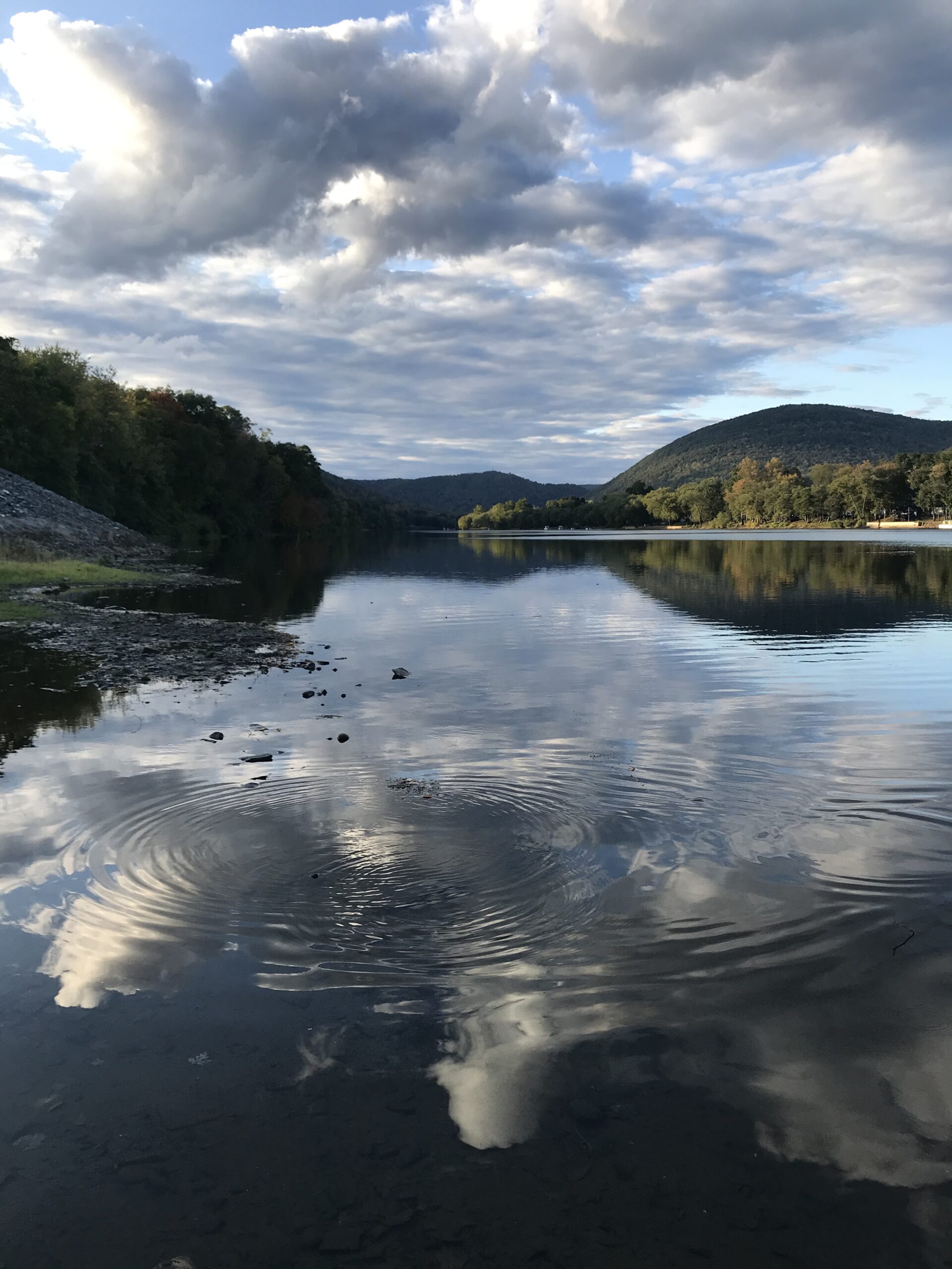
Launch your kayak out of Memorial Park Access next to the Great Island West (SR-1002) Bridge. Take caution, as the surface of the access is primarily dirt and can get muddy. The access is immediately adjacent to Great Island, the former site of three Munsee indigenous communities. You can paddle river right around the island to pass the confluence of the Susquehanna River and Bald Eagle Creek when the water level is higher. At lower levels, paddle river left and under Great Island East (SR-1002) Bridge to avoid getting stuck on the eel weir, a V-shaped stone structure historically used by indigenous peoples to catch eel as they traveled downstream.
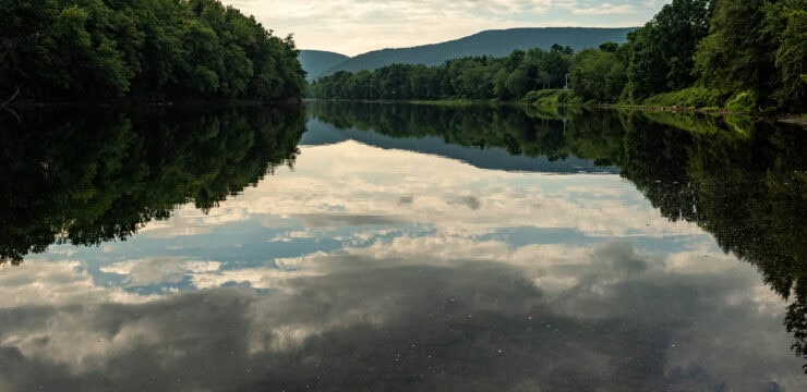
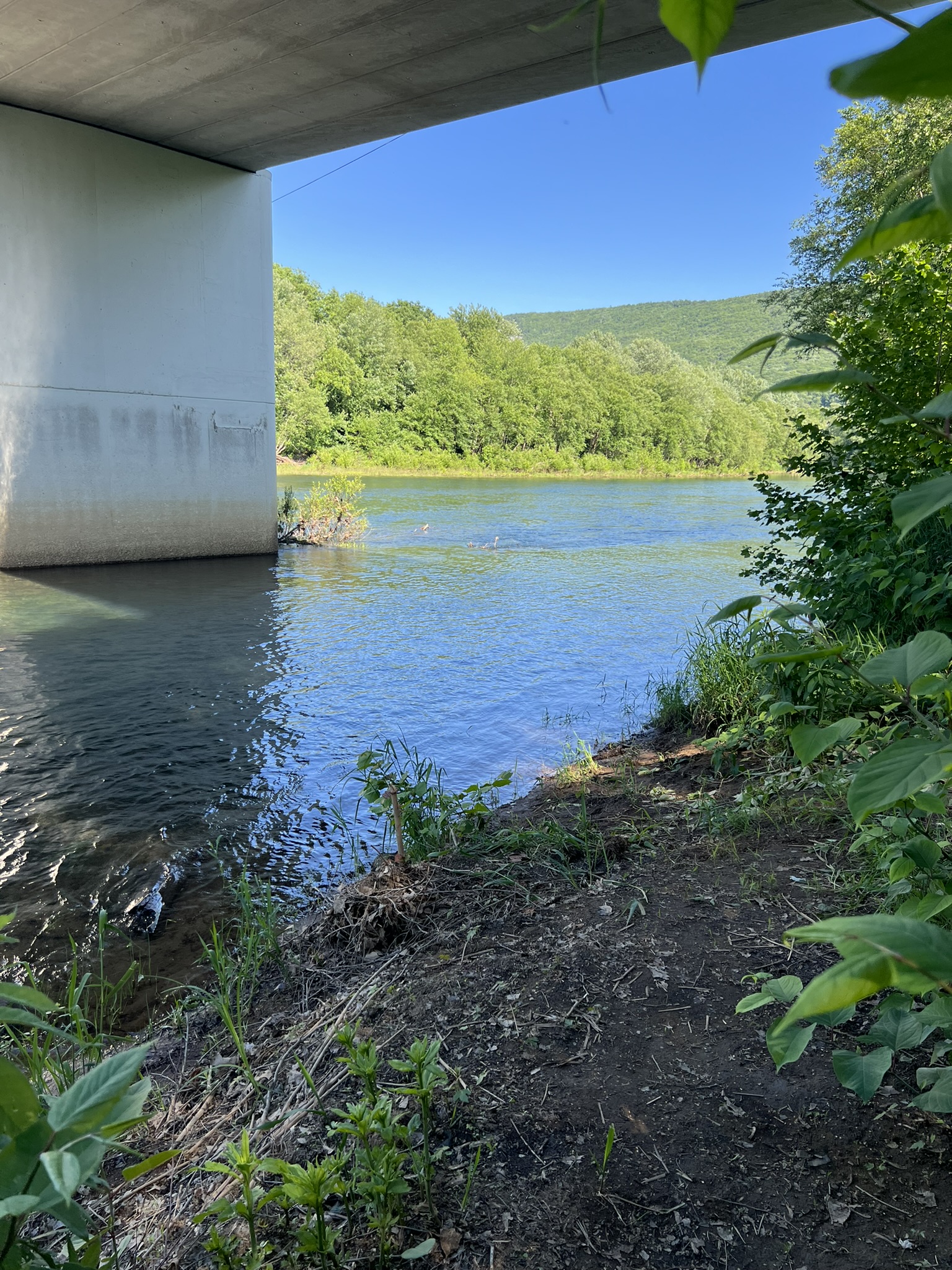
As you paddle river mile 67 onward, you run parallel to a section of the Bald Eagle Valley Trail (BEVT). This section of the rail-trail begins at the former train station in Castanea, traverses what used to be the railroad bed past Bald Eagle Creek, through Wayne Township, and around McElhattan. Enjoy the views of active farmland and note McElhattan Creek meeting the Susquehanna at river mile 66. Watch for river islands as you approach the US 220 Connector Bridge. As you paddle around McElhattan, what’s locally known as the “Spook Hollow” section of the BEVT starts just past the bridge and runs along the farmland on river right. Watch for more river islands at the steepest area of the river bend around McElhattan.

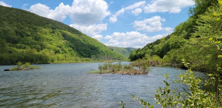
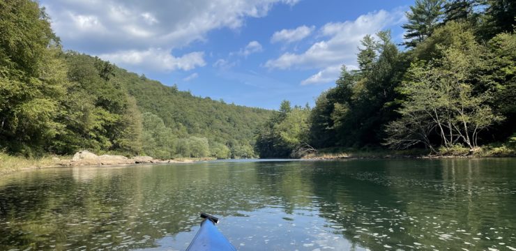
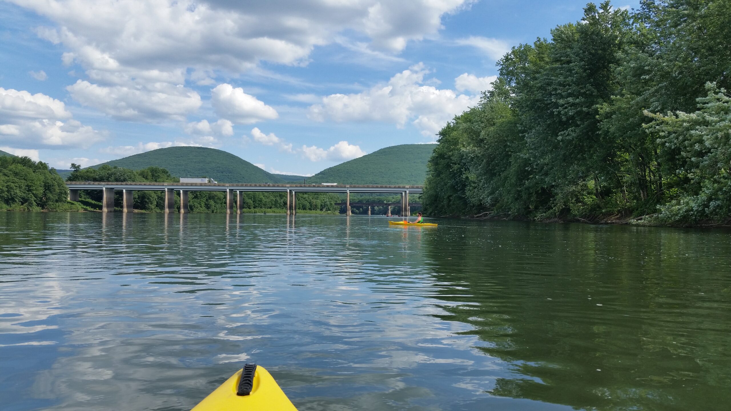
A kayak on the West Branch of the Susquehanna River near Rt. 220, McElhattan.
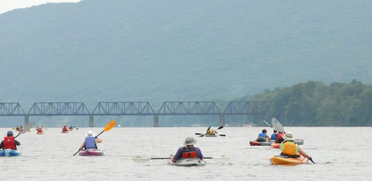
As you paddle under the double bridges of US-220, you will see another bridge up ahead known as Katie’s Crossing. This pedestrian crossing is the first one of its kind to span the West Branch of the Susquehanna River. It was named for former Clinton County Planner Katie de Silva, for her work in securing the bridge as a part of the BEVT.
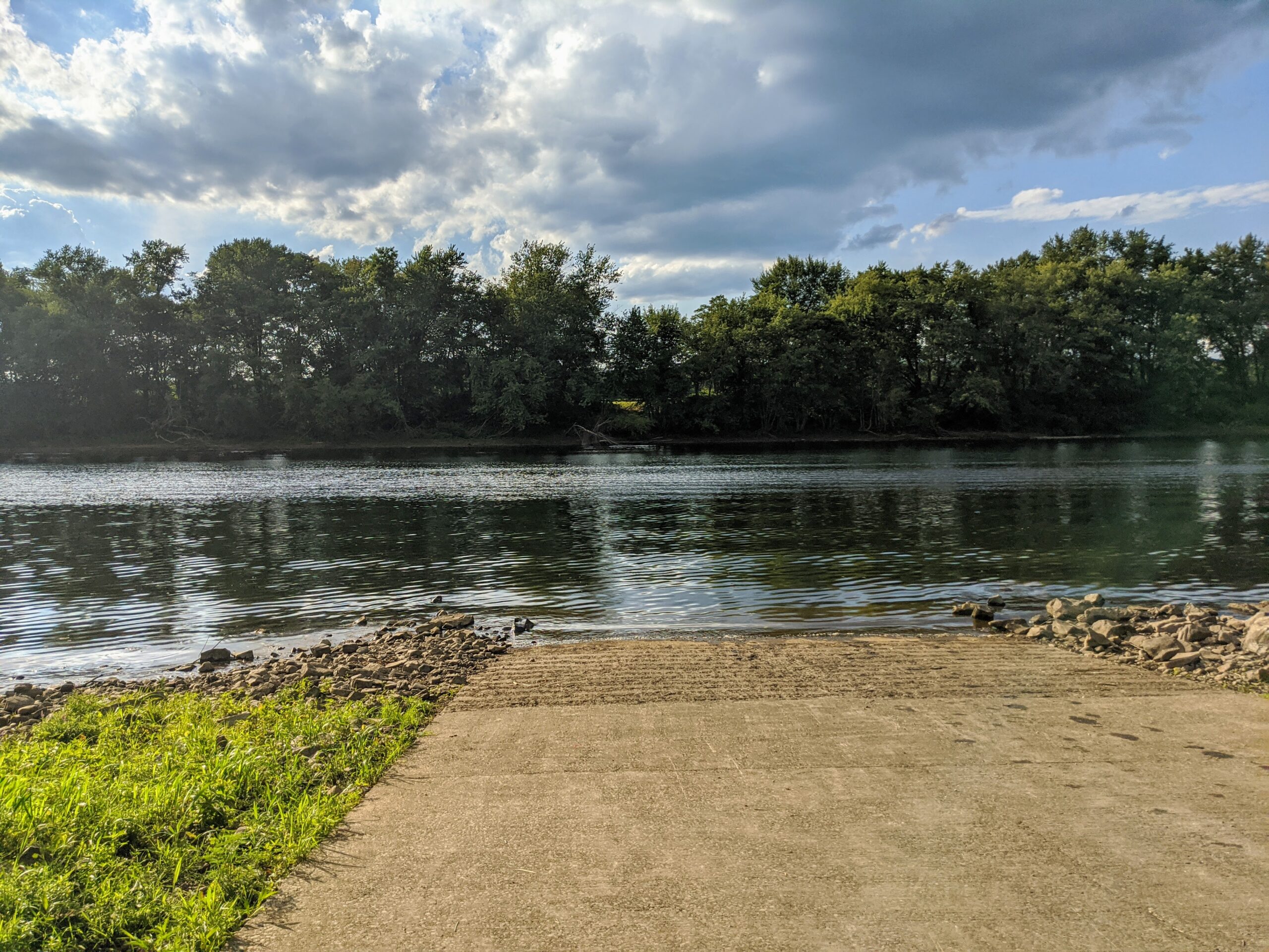
Keep your eyes peeled during spring and fall near river mile 62. You may get a chance to photograph waterfowl and shorebirds that are known to migrate through this area. Continue to paddle the last bend and take out at PFBC Pine Access at Alan Gardner Memorial Park on river right. The boat ramp at this access is paved, with a 20-car parking lot and picnic area nearby.
Amenities
Boat Ramp, parking, picnic tables, and nearby town at each access. PFBC Pine Access has a playground and seasonal portable restrooms onsite. Trail access in Lock Haven to the William Clinger Riverwalk, Bald Eagle Valley Trail in McElhattan.
Put In
River Mile 69, Lock Haven Memorial Park Access

Take Out
River Mile 61.9, PFBC Pine Access
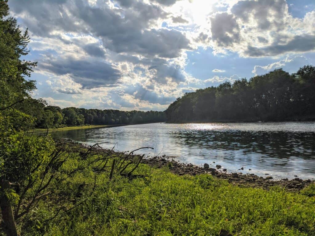
Photo Credit: water trail steward Carrie Pauling
This route corresponds with Sections 10- 11 of the Susquehanna River Water Trail – West Branch Map & Guide, a waterproof resource which provides additional details on amenities, points of interest, emergency contacts, and gage height.