At a Glance
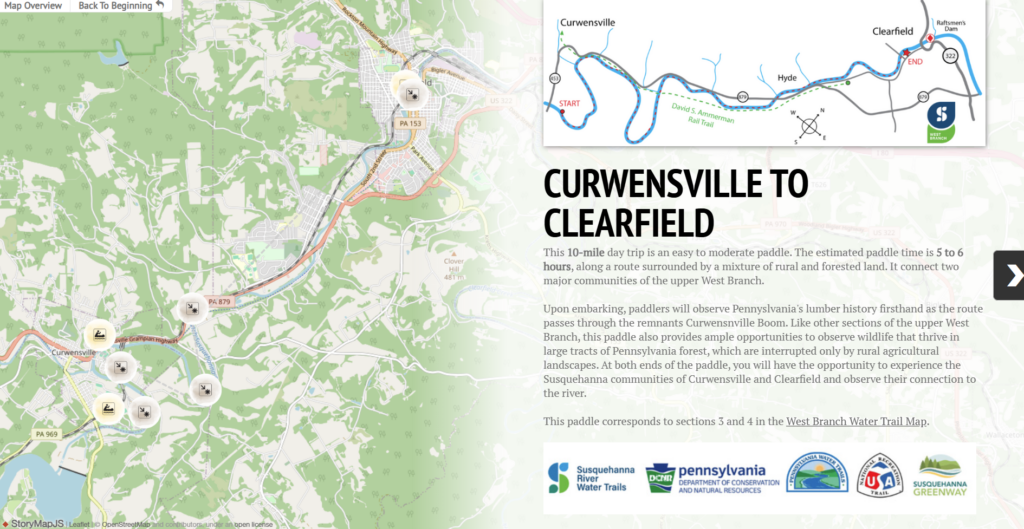
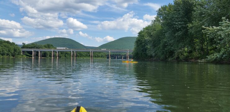
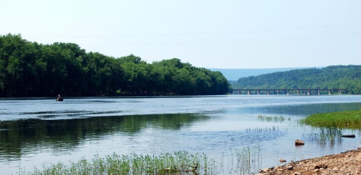
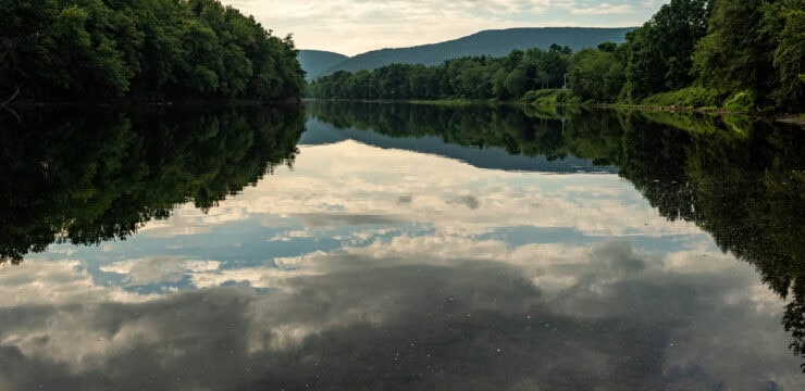
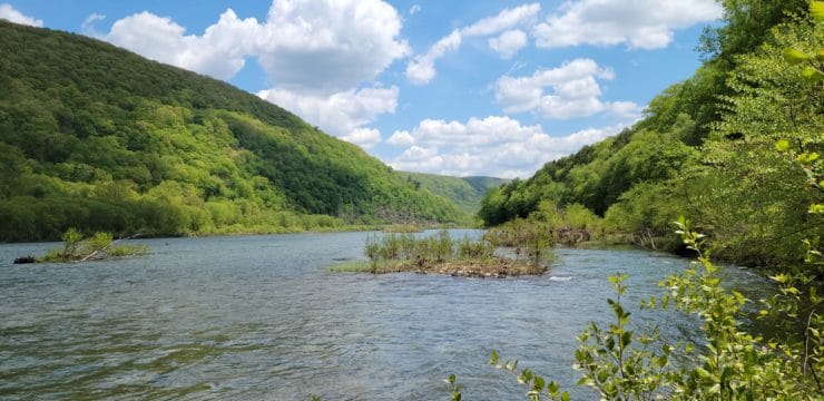
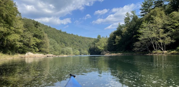
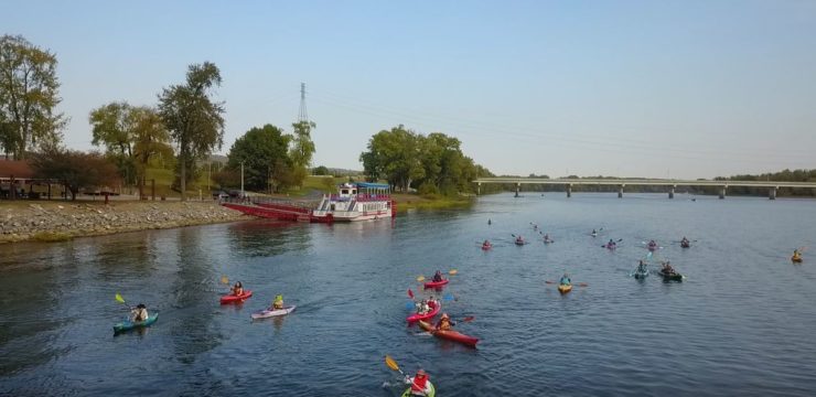
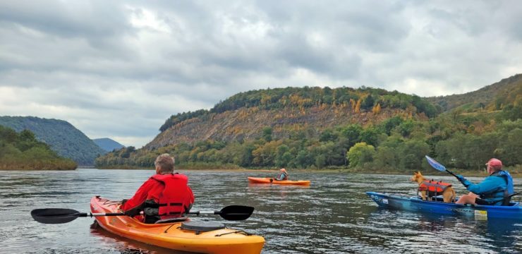
This day trip takes paddlers from the town of Curwensville to Clearfield as they enjoy the remote waters of the Susquehanna River West Branch. After a couple of dramatic bends, the route is quite narrow. There will be traces of lumber history and a chance to see where a rail trail now crosses the river.
Description
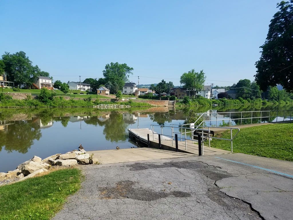
Upon launching from Irvin Park, paddlers will travel through the former location of the Curwensville Boom; the uppermost boom on the West Branch. Booms were barriers placed in a river designed to collect logs that were sent to float down the river. As the logs floated downstream and reached the booms, they were then guided to one of several sawmills based on the brand burned into each one. This practice was used throughout the 19th and early 20th centuries.
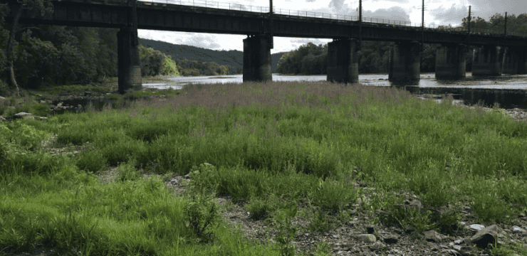
As you pass through the town of Curwensville you may even see some cyclists peddling on the David S. Ammerman Trail, crossing the river on the Ammerman Trail Bridge. After traversing through a couple bends, you will begin your path through the Narrows as you approach the town of Hyde. This section of the river is a bit more narrow, thus earning it its name. Once past the Hyde Bridge, you will begin to enter the town of Clearfield, and within a short mile arrive at Lower Witmer Park on river right. Clearfield offers many dining and cultural amenities to enjoy such as the Raftsmen Memorial Park and Clearfield Riverwalk.
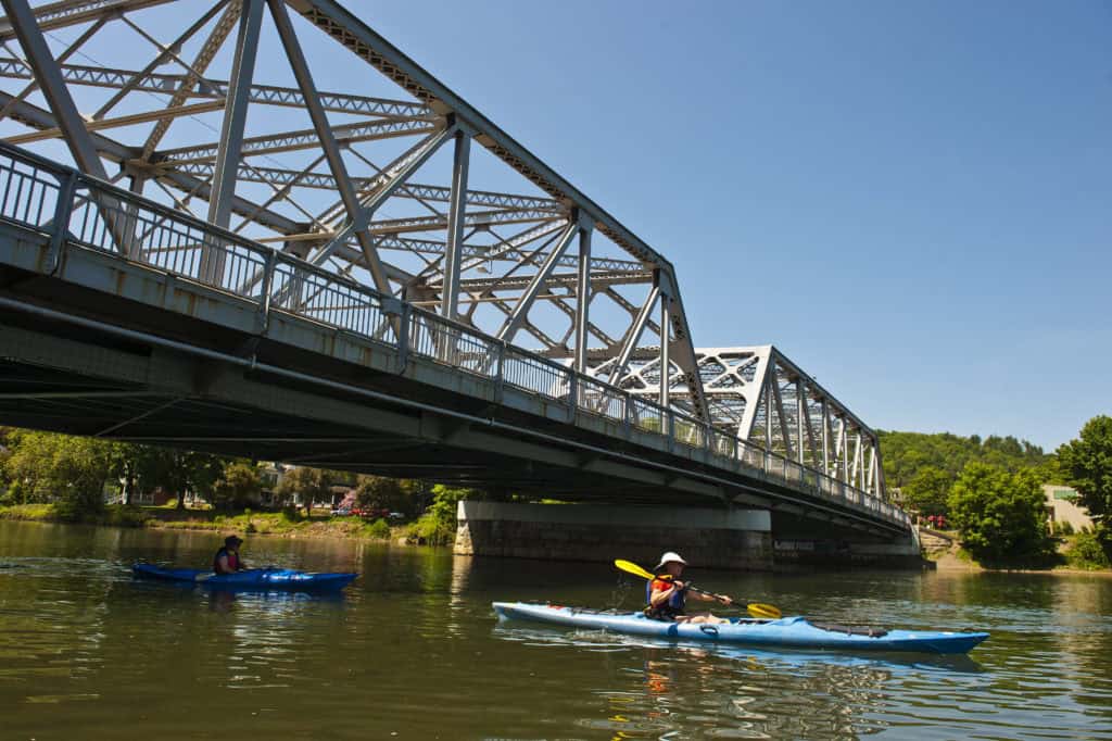
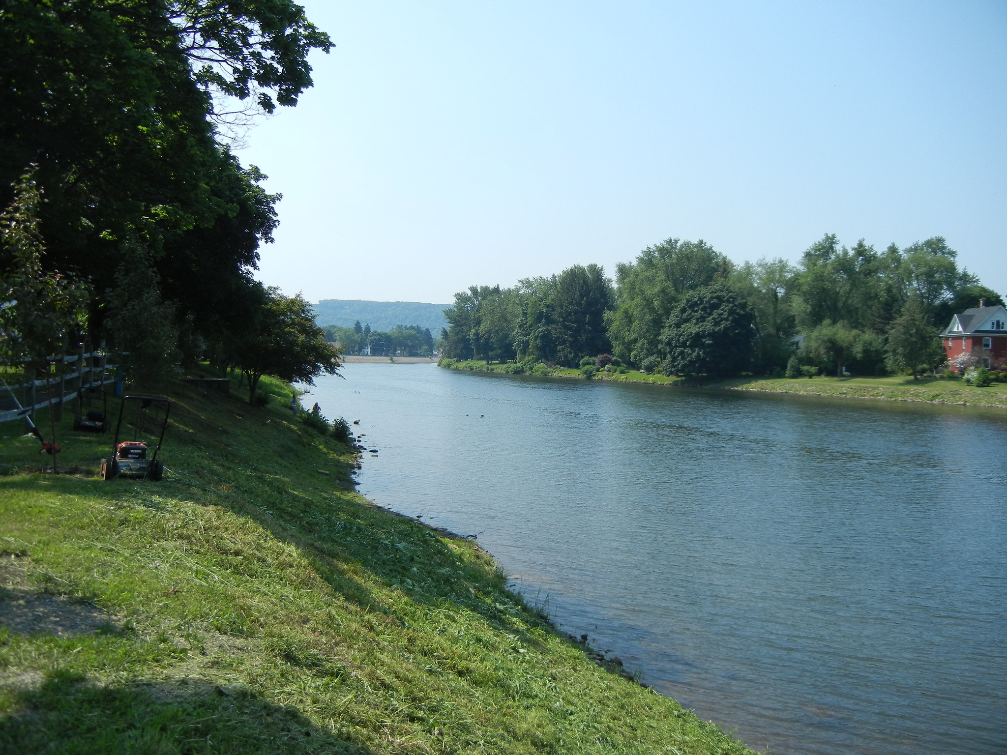
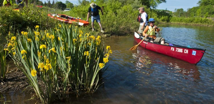
Photo by Chuck Haupt
Amenities
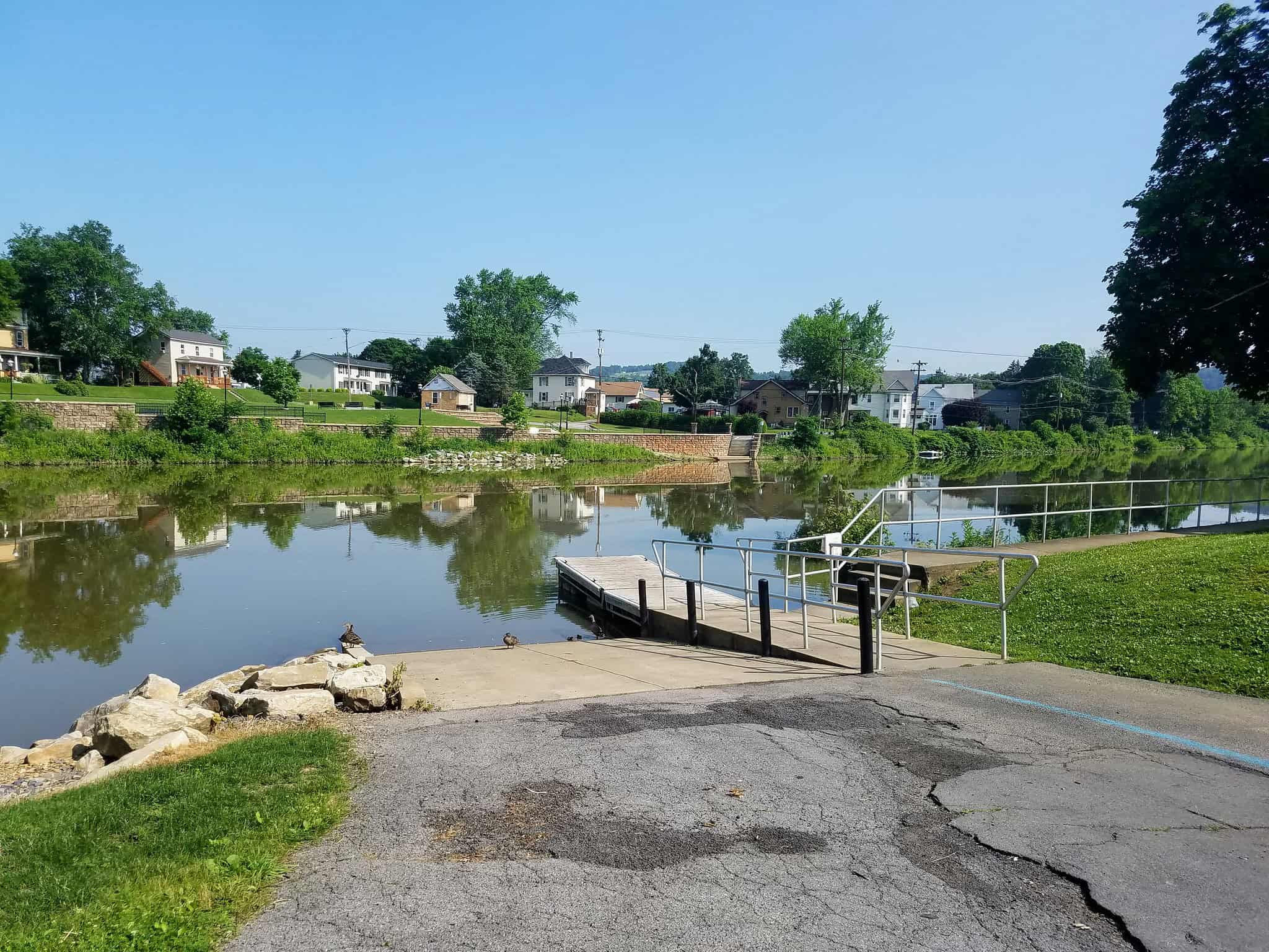
The Irvin Park access has restrooms and is located near the town of Curwensville which offers dining and lodging. Lower Witmer Park has a restroom, lodging, dining, and cultural activities are located in the nearby town of Clearfield.
Put In
River Mile 184.8: Irvin Park Access (canoe launch)
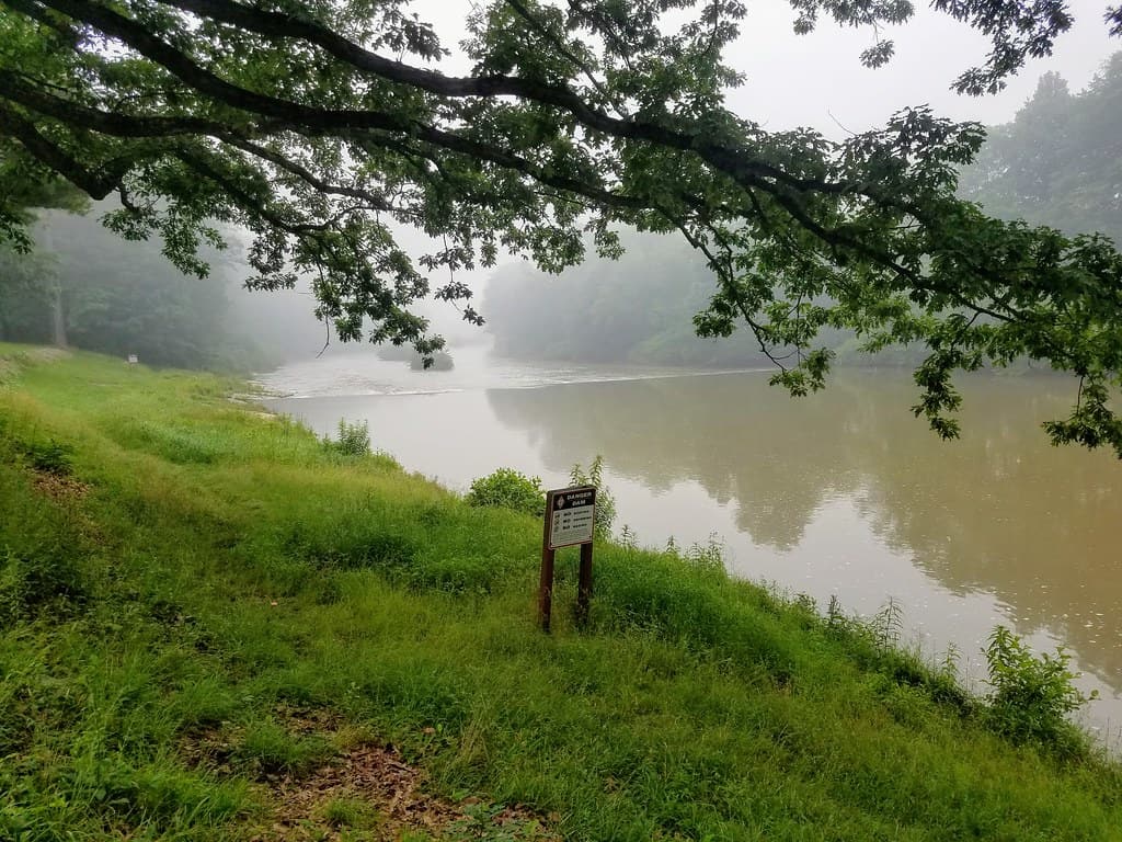
Take Out
River Mile 174.8: Lower Witmer Park Access (boat ramp)
This route corresponds with Sections 3 and 4 of the Susquehanna River Water Trail – West Branch Map & Guide, a waterproof resource which provides additional details on amenities, points of interest, emergency contacts, and gage height.


