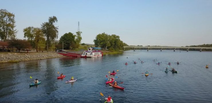
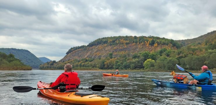
Description
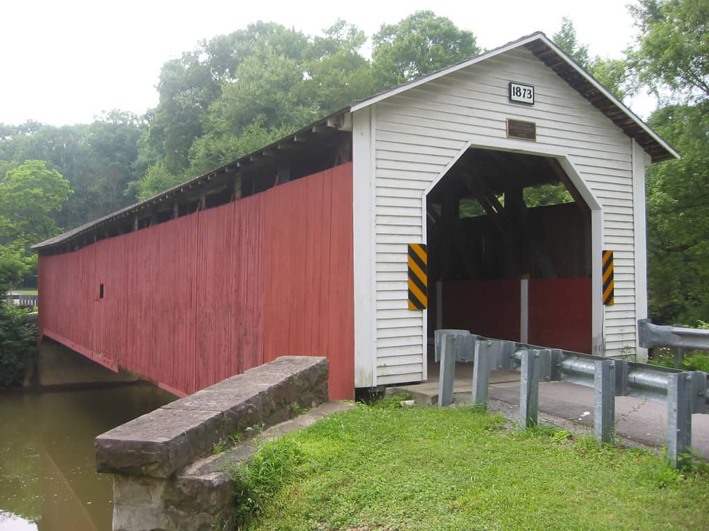
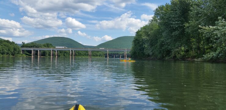
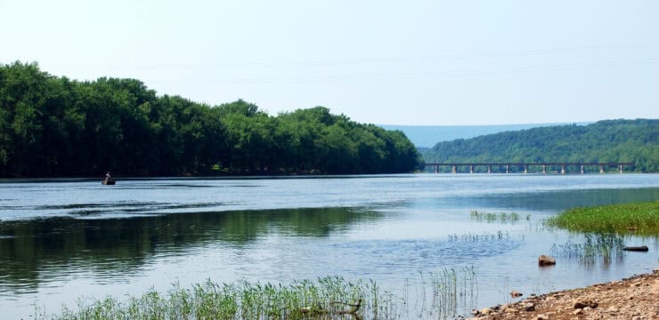
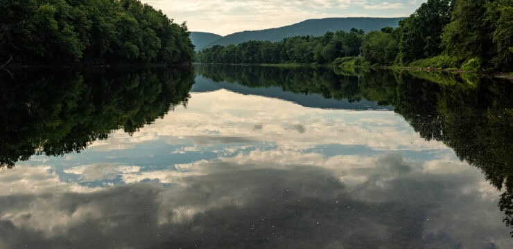
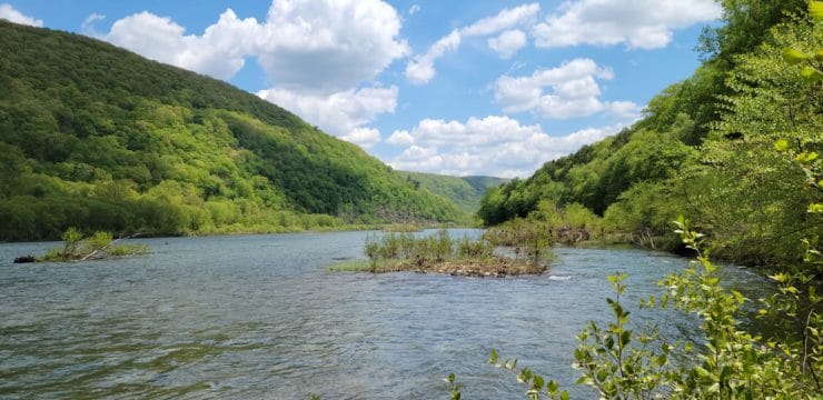
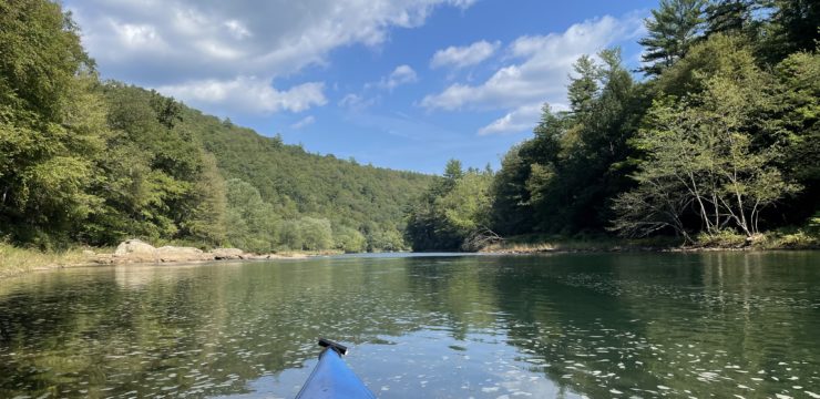
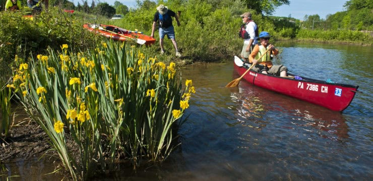
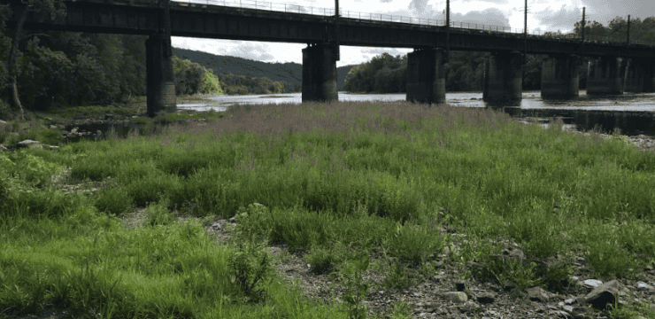
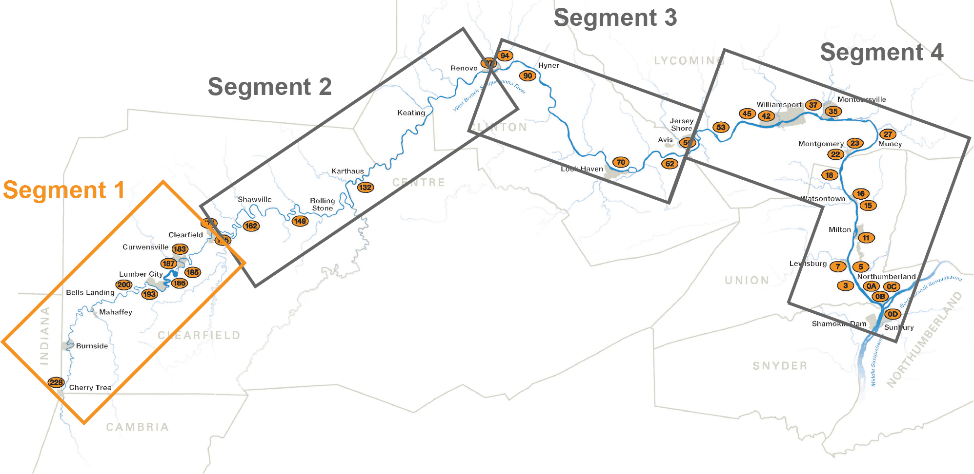
The Cherry Tree section of the West Branch Paddle Club (WBPC) takes its name from the source of the Susquehanna River West Branch in Cherry Tree, PA. In total, this section covers roughly 54 miles of the 228-mile water trail, passing through some of the most remote reaches of the West Branch. Several notable points of interest featured on this section include the Last Raft construction site, McGees Mills Covered Bridge (the last intact covered bridge on the Susquehanna), and remnants of the uppermost boom along the West Branch, located in Curwensville.
Start
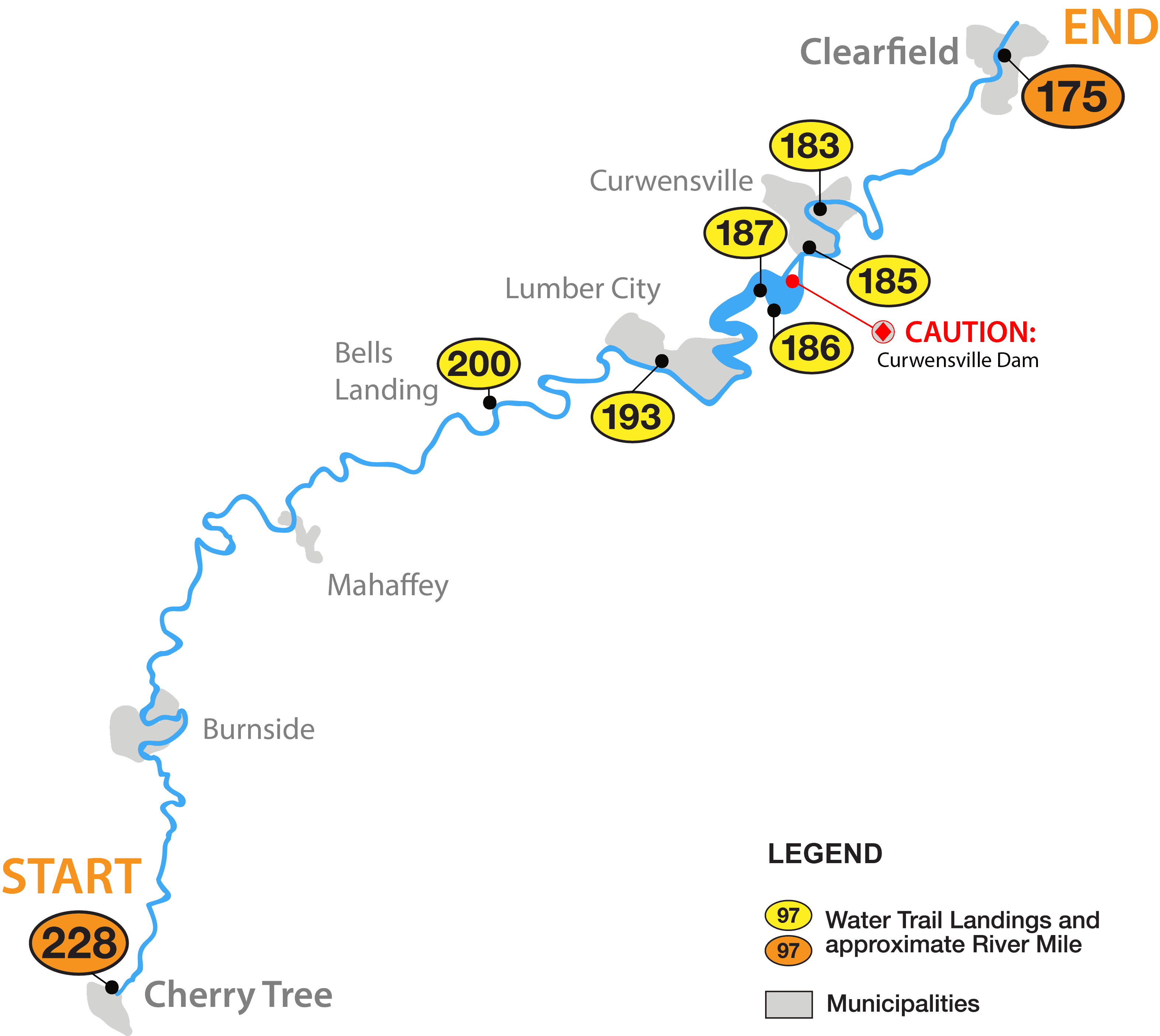
River Mile 227.5: Cherry Tree Borough Access
End
River Mile 174.8: Lower Witmer Park Borough Access
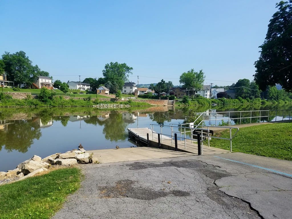
Access on this Section
- Bells Landing Access (RM 200)
- Lumber City Access (RM 193)
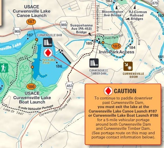
- Curwensville Lake Canoe Launch (RM 187)
- Curwensville Lake Boat Launch (RM 186)
- Irvin Park Borough Access (RM 184.8)
- Curwensville Community Center Access (RM 183)
Overnight Stays
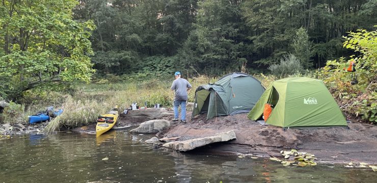
- Curwensville Lake has a campground with spots for tents and RVs. Learn More.
- For other resources on overnights stays along this segment, please contact Visit Clearfield County. Learn More.
Hazards
Curwensville ACOE Lake Dam (RM 185.7): To continue paddling downriver past Curwensville Dam (at RM 185.7), take out at the USACE Curwensville Lake Canoe Launch #187 or Boat Launch #186 to begin a 5-mile vehicular portage. Call Curwensville Lake at 814-236-2320 for portage options.
