
At A Glance
This scenic Susquehanna journey winds past historic Fort Halifax, the archaeologically rich Clemson Island, and Haldeman Island’s quiet shores. Paddlers may camp overnight on Island #89 before continuing toward Dauphin Narrows, where river-left navigation reveals Pennsylvania’s own Dauphin Narrows Statue of Liberty. The trip ends at Fort Hunter, near the iconic Rockville Bridge and historic Fort Hunter mansion—one of many highlights along this route.

DESCRIPTION
You’ll begin your trip by launching at either Millersburg Riverfront Park Access or PFBC Montgomery’s Ferry access in Buffalo Township. For those who begin in Millersburg, head towards island campsite 97. After passing close to island 97, head to the west side of the river (river right) and stay generally close to shore.
For those starting at PFBC Montgomery’s Ferry, here is where your journey begins. Please note that a PA state launch permit is required to launch at this site. As you put-in, start heading towards river left.

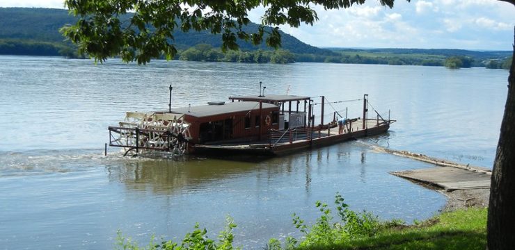
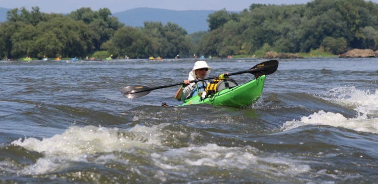
Millersburg Ferry
Once on the river, within a mile you’ll encounter a group of islands, as well as a short low head dam. Run river left to avoid and continue paddling along the islands. As you travel past Lingle Island, you’ll be able to see Fort Halifax Park, which features several trails and camping sites.
You’ll also encounter Clemson Island, one of the larger islands on this section of the river, which also contains the State Game Lands #254. This island and surrounding area are known as the Clemson Island Prehistoric District and is recognized as a historic archaeological site and national historic district. The island previously featured an ancient burial mound for prehistoric people who lived more than a thousand years ago. The area is now used for the management of wildlife as part of the State Game Lands.
After passing Clemson Island, transition over to river right and you will pass the nearby town of New Buffalo. Continue river right after New Buffalo, there are a string of islands to your left. Island Campsite #89 will be on a very small island that is part of that string before you reach Haldeman Island at 40 28 20.2 N, 76 59 0.0 W. This campsite is approximately halfway between Millersburg and Fort Hunter and would make a perfect spot to camp for the night before continuing on your journey the next day.
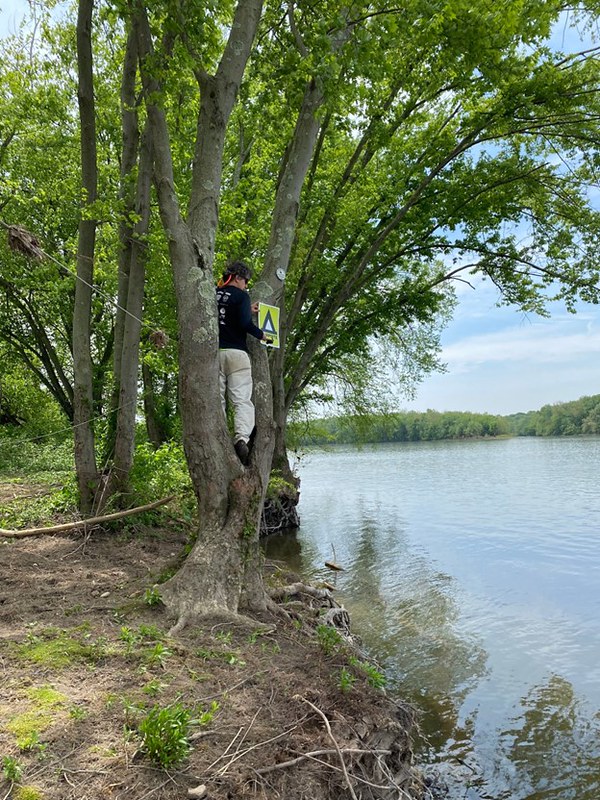
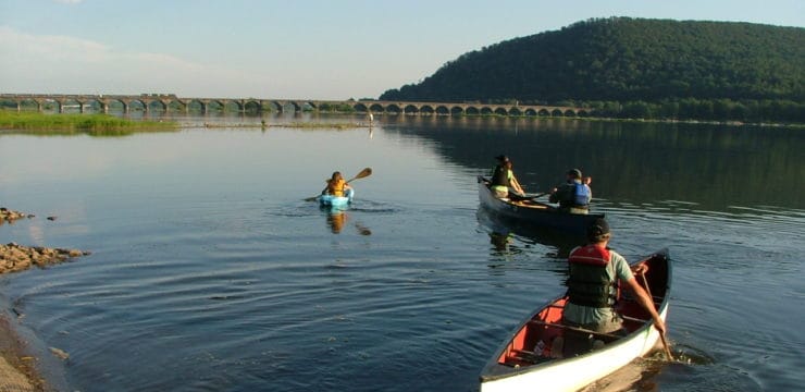
Island Campsite #89
The Susquehanna River Trail Association maintains these primitive Island Campsites throughout the Middle Section of the Susquehanna River Water Trail. They have been developed and maintained for the public’s use and enjoyment. The SRTA Island campsites are available for use on a first come first served basis. There is no formal registration procedure nor are there any fees to use the islands. More information about SRTA and the Island Campsites can be found on their website.
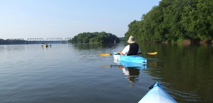
After launching from campsite #89, stay river left as you paddle past Haldeman Island, one of the largest islands on the Dauphin County stretch of the river. Haldeman Island is owned by the PA Game Commission and contains State Game Lands #290. The Game Commission uses the island’s northern half as a wildlife propagation area. Continue paddling as you pass under the US-22 bridge to Duncannon. You will encounter several other SRTA campsite islands along this stretch. Stay river left as you approach Dauphin around RM 79.
Be careful as you navigate this section of the river known as the Dauphin Narrows. Stay close to the shore and be mindful of waves. Stay far river-left throughout this entire stretch to the Fort Hunter access to avoid the numerous rocks and waves. Be on the lookout for the Dauphin Narrows Statue of Liberty as you paddle by.

Photo by Charles Dallas
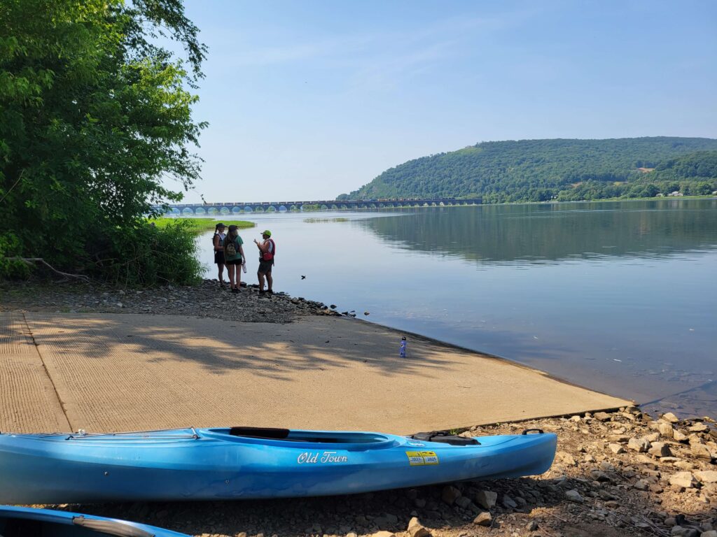
Stay river-left and prepare your approach to the PFBC Fort Hunter Access. After take-out, you have the option to explore several notable points of interest, including the Fort Hunter Historical District, Fort Hunter Mansion and Park, or the Boyd Big Tree Preserve Conservation Area (a few miles east of Fort Hunter). Another iconic landmark that can be seen from Fort Hunter Park is the Rockville Bridge–the longest stone masonry arch railroad viaduct in the world.

Fort Hunter Park
Amenities
The Millersburg Riverfront Park Access area has a boat ramp, parking, restrooms, picnic facilities, and is near restaurant and groceries. The PFBC Fort Hunter access has a boat ramp, parking, restrooms, picnic tables, and is near restaurants.
Put In
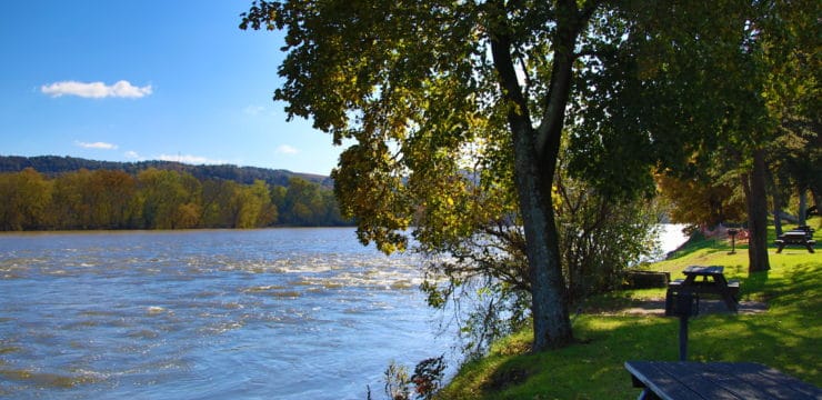
River Mile 98: Millersburg Riverfront Park Access

Millersburg Riverfront Park Access
Overnight Campsite
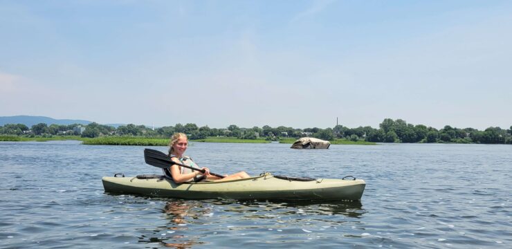
River Mile 89: Island Campsite #89

Photo by Ryan Lindsley via Google Maps
Take Out
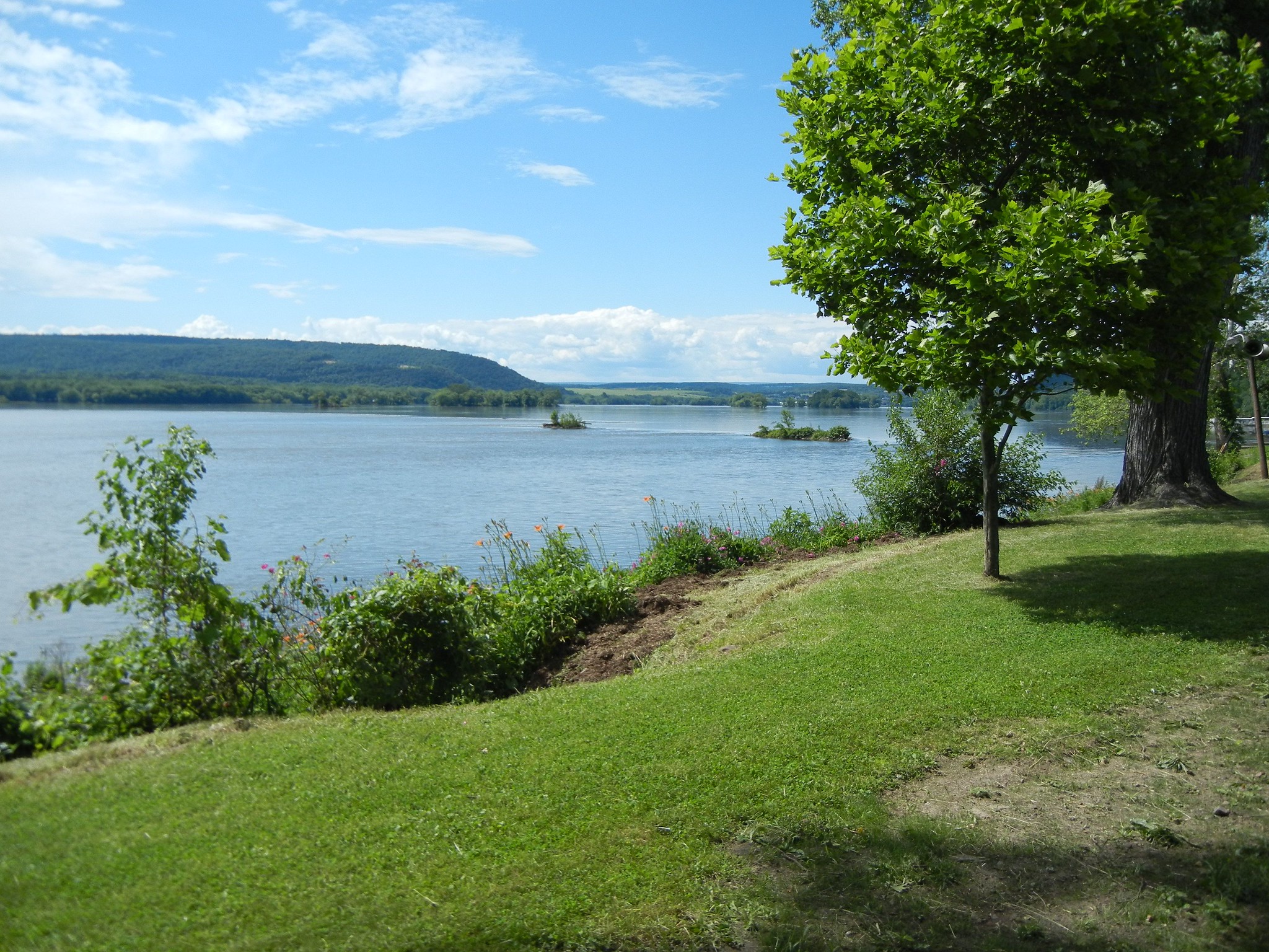
River Mile 77: PFBC Fort Hunter Access (boat ramp)
PFBC Fort Hunter Access
This route corresponds with the Susquehanna River Water Trail – Middle Section Map & Guide (Side 2, a waterproof resource which provides additional details on amenities, points of interest, emergency contacts, and gauge height.