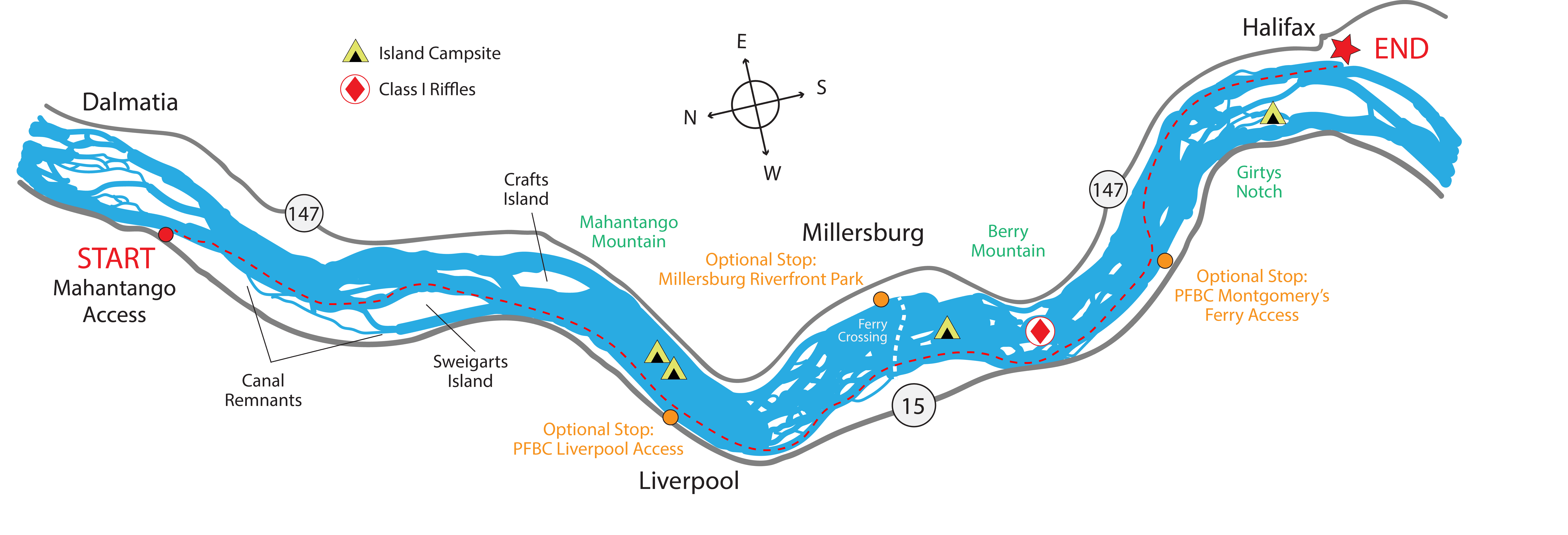
At A Glance
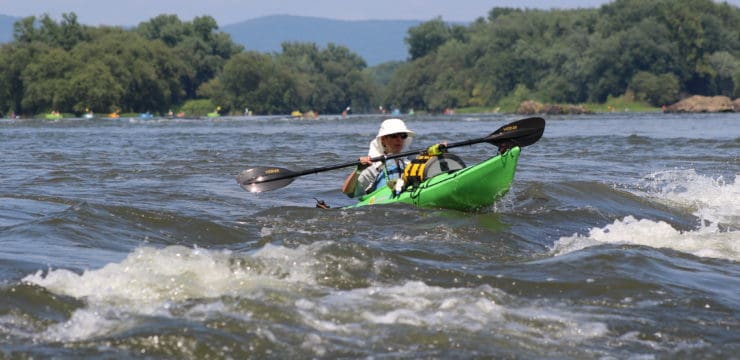
This day trip is an ideal trip for those who want to experience the river islands that are emblematic of the Middle Susquehanna. It is a slightly longer paddle that is good for most skill levels but may be more of a challenge to novice paddlers. Due to class 1 riffles and rapids as well as numerous small islands and exposed rocks, stand-up paddle boarding is not advised on this section.
Description
When planning the shuttle for this trip, please note that the nearest river crossing between the put-in and take-out is the Millersburg Ferry, which runs seasonally. Be sure to check their operating schedule here.
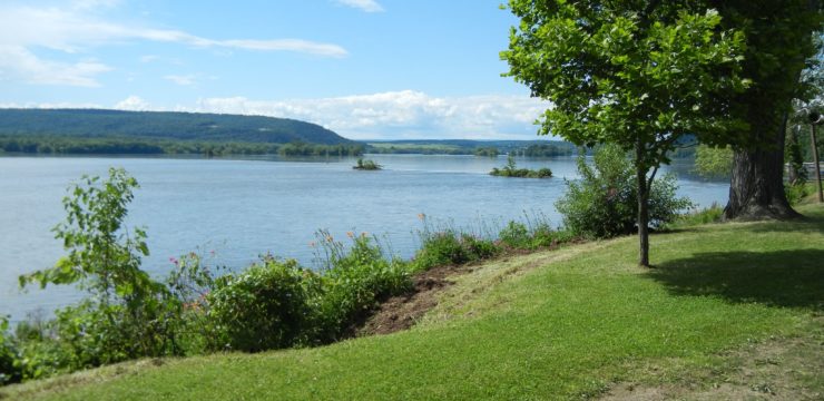
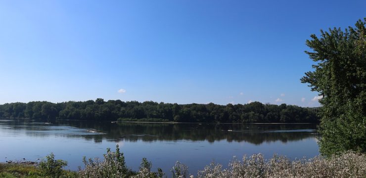
Launch at PFBC Mahantango Boat Launch (River Mile 106). Upon launching, keep river right (toward west shore) for the remainder of the paddle until take-out. After roughly 2 miles, you will encounter the first two major river islands. The larger of the two, Sweigarts Island, is managed by the Pennsylvania State Game Commission and camping is prohibited. However, these islands do offer paddlers the opportunity to take out, rest, and observe the beauty and wildlife before embarking on the remainder of their journey.
On the west shore, you can also observe remnants of the Susquehanna Division of the Pennsylvania Canal. Originally completed in 1831, this mule driven canal stretched 41 miles from Northumberland to the mouth of the Juniata River and utilized 12 locks along the river. If you want to shorten your trip or need a bailout option, you may use Sweigarts Island Boat Launch (River Mile 103) on river right.
One more mile downstream, you will encounter Crafts Island, another island managed by the Game Commission. This island stretches for roughly 1 mile. After this island, you will encounter a series of islands managed by DCNR. Two of these islands (sites 101a and 101b) are designated for overnight camping. If you plan to camp on these islands, check a map to ensure you have identified the islands where camping is permitted. A good indicator is that these islands will have a green placard marked with a tent symbol. Near these islands, you may also take out at the PFBC Liverpool access (River Mile 101) on river right, which features restrooms and trash cans.
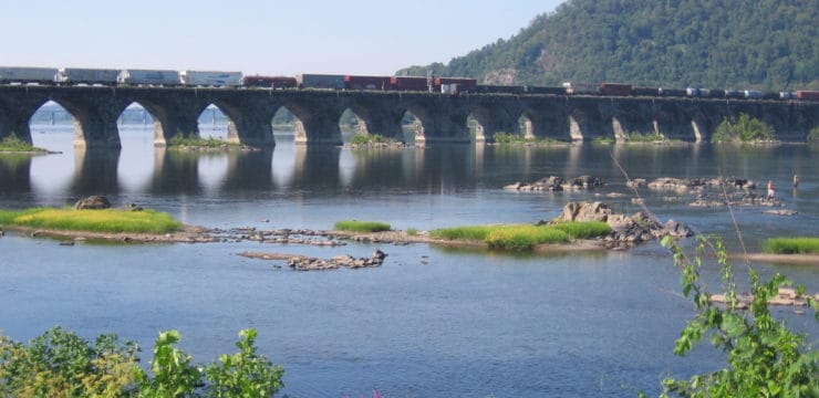
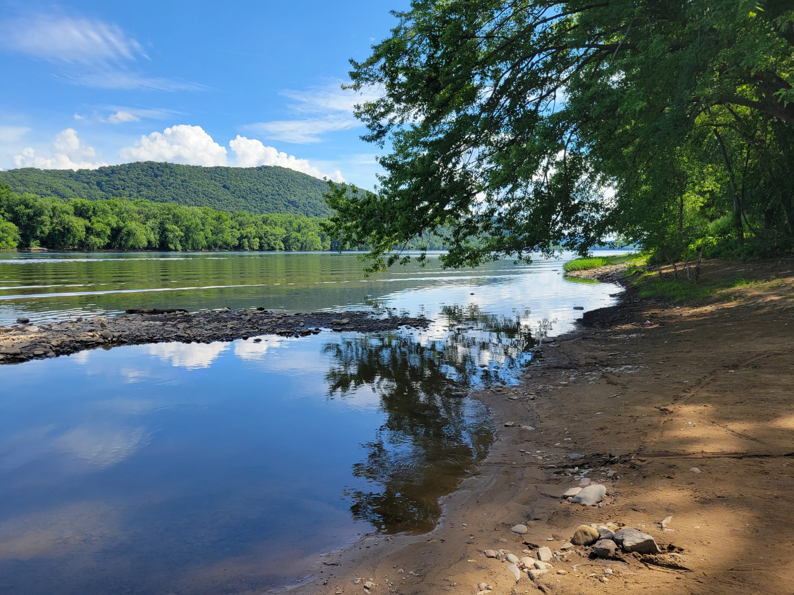
Continuing downstream past Liverpool, you will encounter the first of the five Susquehanna Water Gaps at the Mahantango ridgeline at river mile 100. Over time, the erosional forces of the Susquehanna River cut these gaps in the mountain ridgelines as it flowed towards the Chesapeake Bay. You may also view the Susquehanna Water Gaps at Berry Mountain (River Mile 96), Peter’s Mountain (River Mile 84), Second Mountain (River Mile 78), and Blue Mountain (River Mile 76). On this route, look for Berry Mountain after you pass Millersburg. The other three gaps are located downstream from the takeout. These gaps are considered a National Natural Landmark.
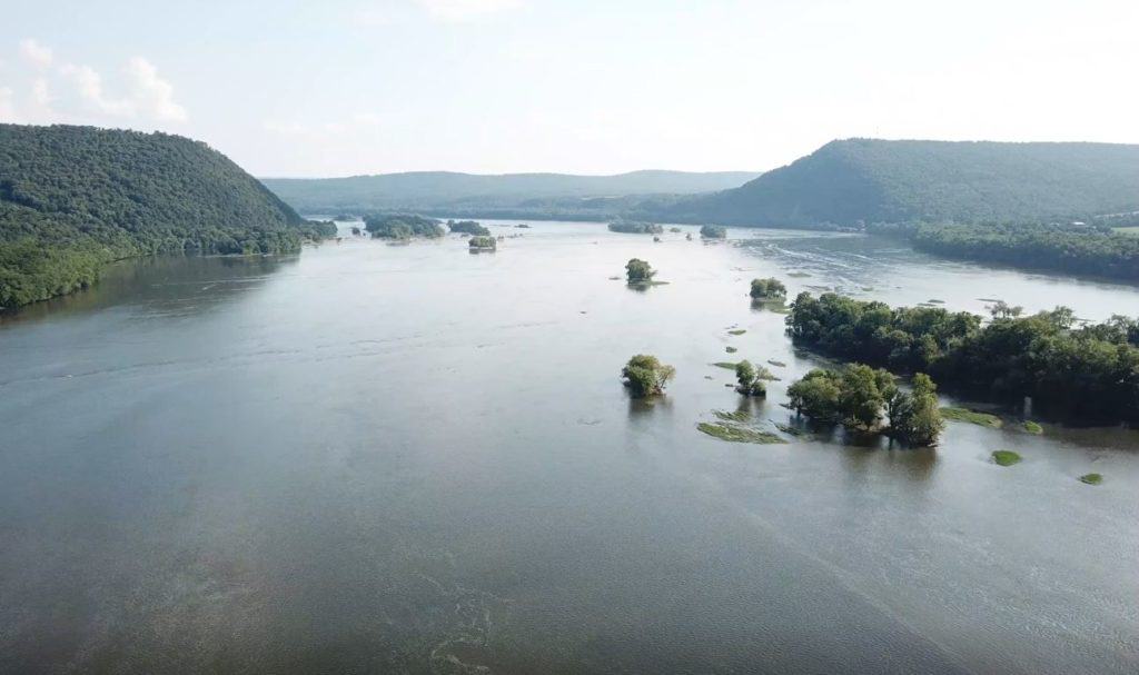
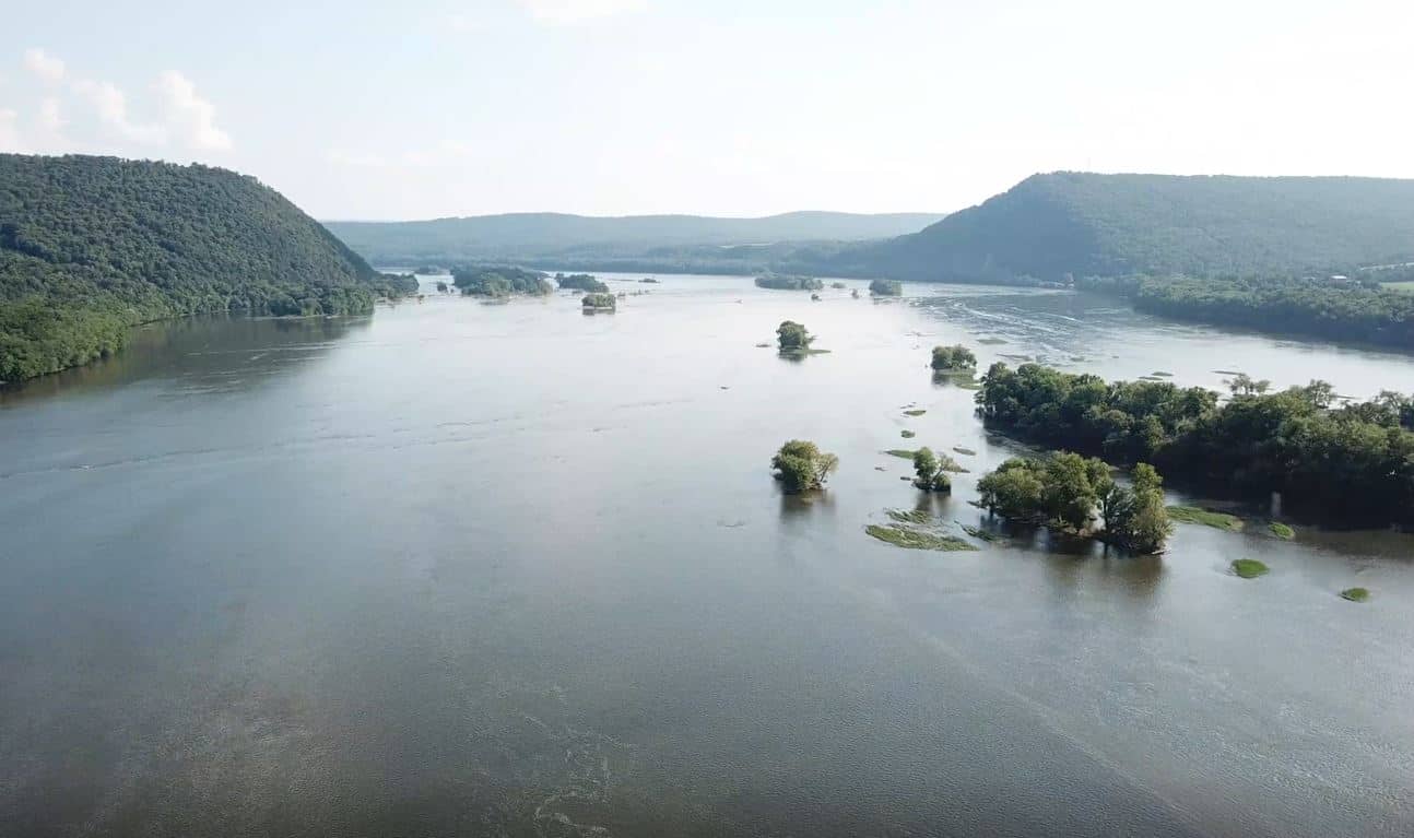
After you pass the Mahantango ridgeline, you will pass through series of scattered river islands. These islands are also managed by DCNR, and you are permitted to stop and explore these islands. However, these are not designated camping areas and overnight camping is prohibited.
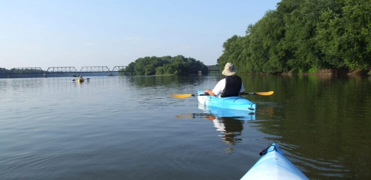
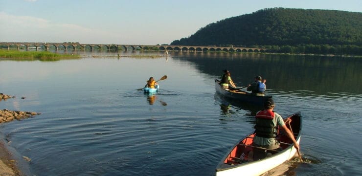
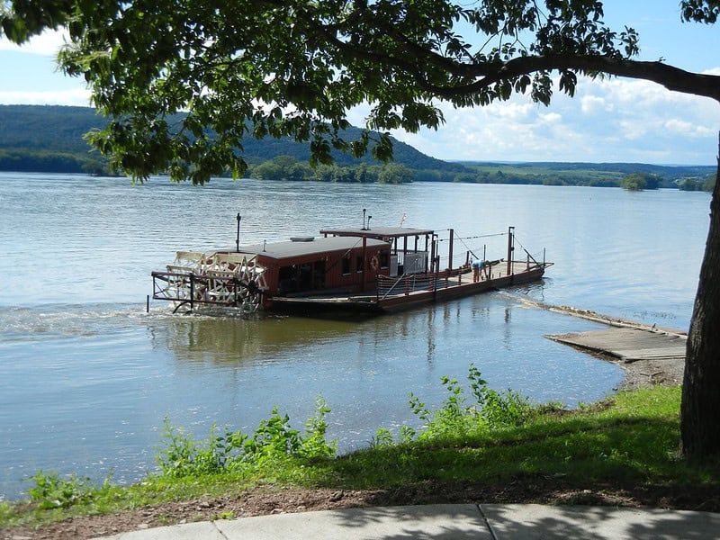
At river mile 98, you will paddle past the river town of Millersburg on river left. At the town’s northern end, you will see the Millersburg Ferry. This is the only surviving ferry on the Susquehanna River, becoming operational in 1825. It is currently the only wooden stern paddle wheel ferry in the country and regularly carries cars across one of the widest parts of the river (appx. 1 mile). On the southern end of town, there is also an alternate take-out at Millersburg River Front Park (River Mile 98).
Downstream, there are two more river islands, both of which are managed by DCNR. Camping is permitted at the island furthest downstream (site 97). Use caution between river miles 97-96 as you will encounter class 1 riffles and rapids. After traversing this section, continue downstream for another two miles. This section is relatively open except for a few scattered river islands.
Around river mile 94, you will pass Girtys Notch on river right. Girtys Notch is a rocky promontory below the excavated cliffs of Half Falls Mountain. According to local lore, the infamous outlaw Simon Girty and his gang would hide here, wait, and rob shipments of supplies traveling downriver. You may also take out at PFBC Montgomery’s Ferry (River Mile 94 w) on river right.
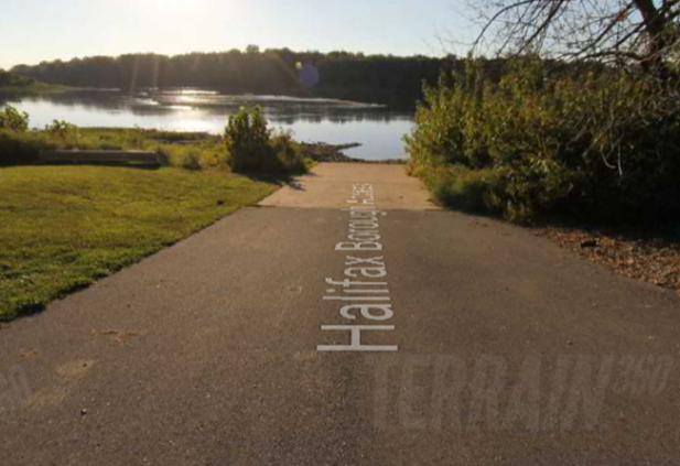
In the final stretch of your journey, you will transition to river left, paddling past a very large set of river islands that divide the river. While there are designated camping areas here, it is best for paddlers stay river left and close to shore for an easier takeout. If paddlers find themselves on the right side of the river islands and unable to cross, they should take out at PGC Clemson Island (River Mile 92 w) on river right. If paddlers are on the intended route, they will approach the river town of Halifax on river left. Take out at Halifax Borough access (River Mile 92 e).
Amenities
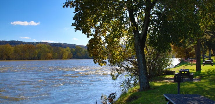
PFBC Mahantango features parking, restrooms and trash cans. The parking lot feature handicap spaces and the restrooms are handicap accessible. Halifax Borough Access features street parking but no other amenities. Additional amenities such as food, lodging, and camping can be accessed in the nearby river town of Duncannon.
Put In
River Mile 106: PFBC Mahantango Access

Take Out
River Mile 92 East: Halifax Borough Access
This route corresponds with the Susquehanna River Water Trail – Middle Section Map & Guide (Side 1 & 2)