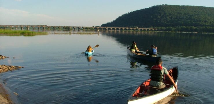
At a Glance
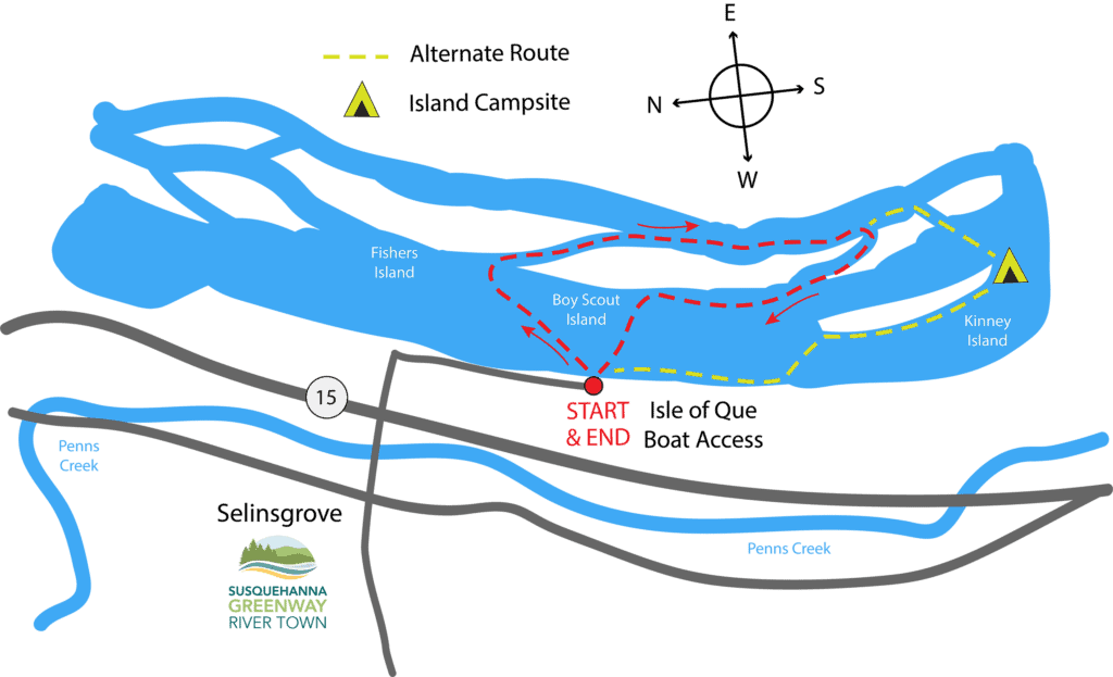
This loop around Boy Scout Island is a shorter paddle that’s great for a morning jaunt or early evening excursion after work. It offers a little bit of a workout with some stretches of upriver paddling and it almost guarantees a chance to see some wildlife. This route is an upriver paddle for the first half-mile, a long leisurely stretch downriver for the next 1.2 miles, then upriver again back to the boat launch for the last mile.
Description
Please consider water levels before paddling this section of river. If it is too low, there will not be enough water to get over the head of the island; If the levels are too high and the current is strong, it is difficult to paddle upstream, especially around the bottom of the island. Ideal levels for this route are gage readings of over 7 at Sunbury.

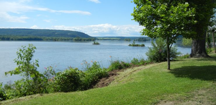
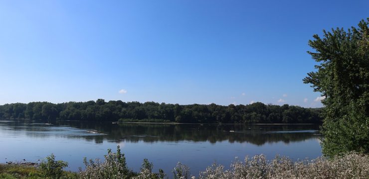
Head of Boy Scout Island
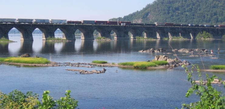
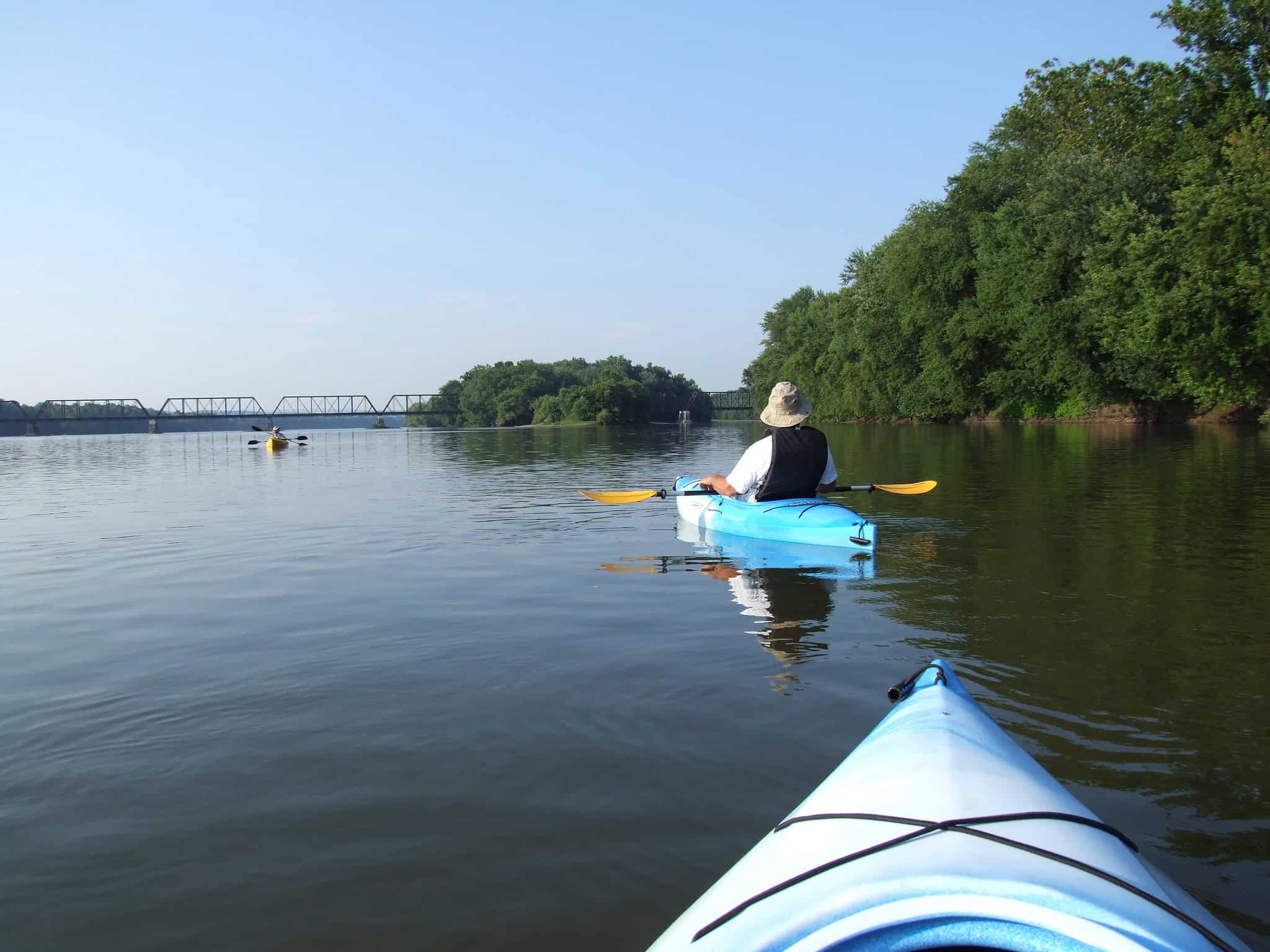
Launch from the Isle of Que Boat Access in Selinsgrove, and head across the river and upstream. The first cut on your right takes you down a narrow channel between Fisher Island (to the North) and Boy Scout Island (to the South). If the water level is so low at this point that you cannot get through in your kayak, the water will be still and possibly stagnant between the islands. If this is the case, we recommend changing your route and just paddling up to the Railroad Bridge and back instead. If the level is high enough to get through at the head of the island, then there will also enough water to get around the bottom of the island and your course should be good to go for the remainder of the paddle.
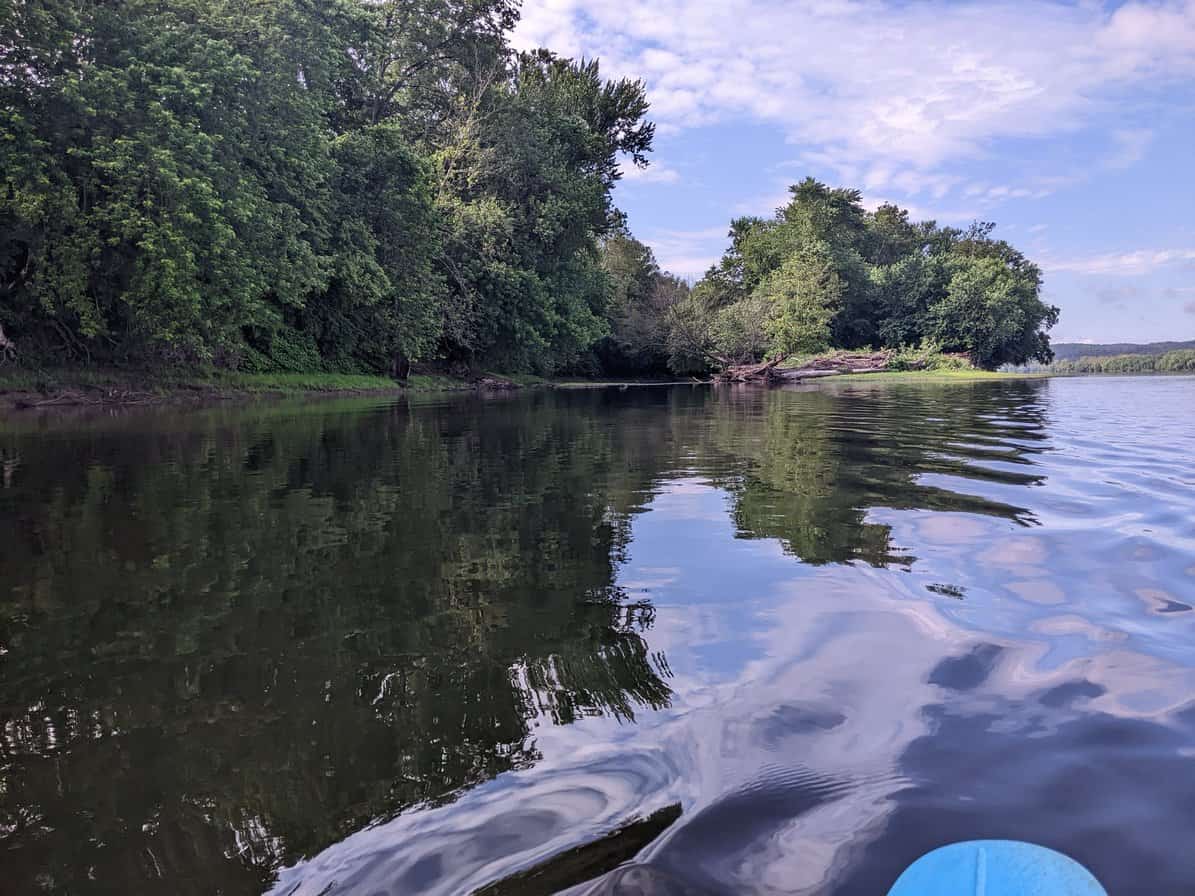
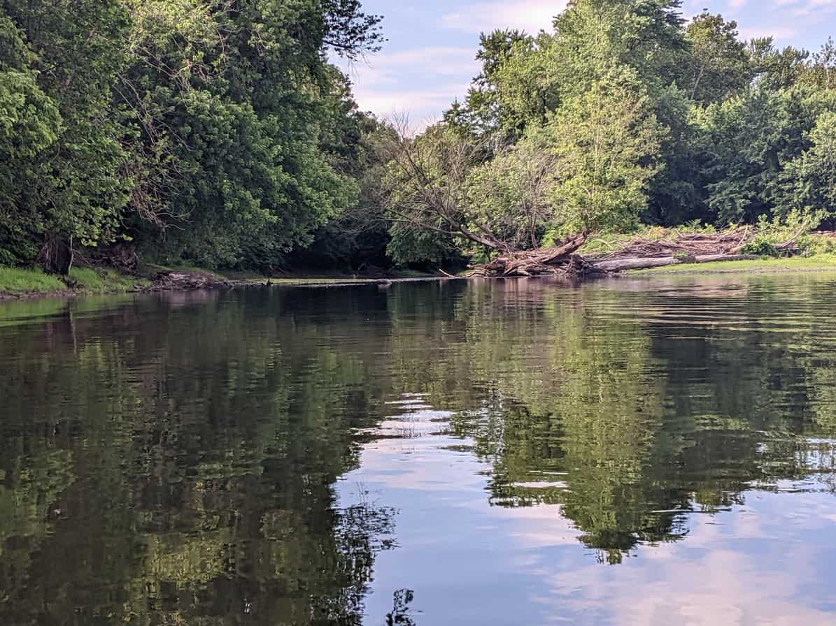
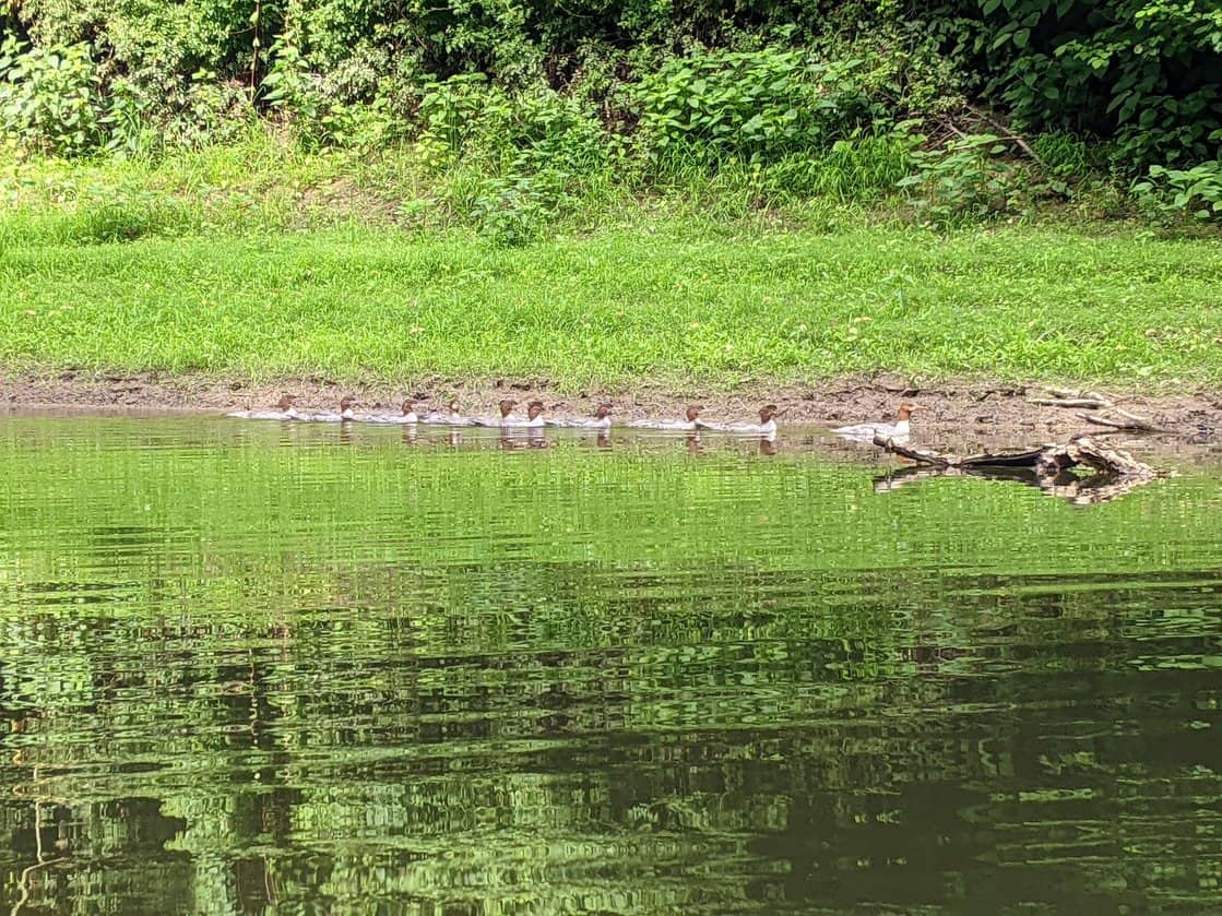
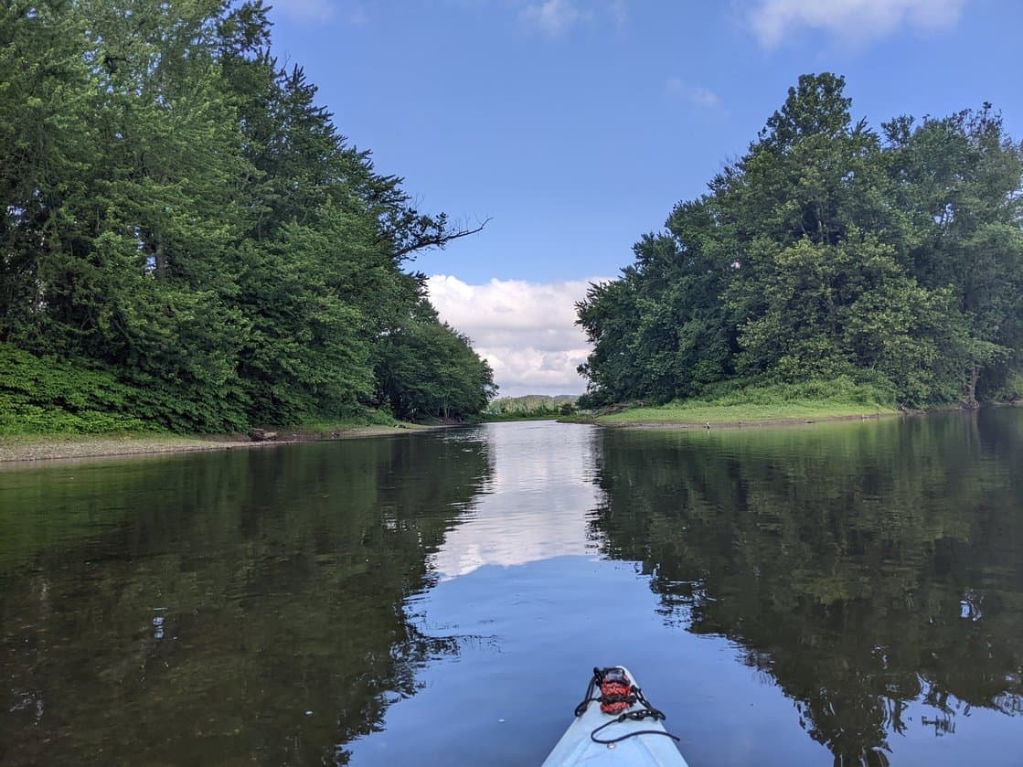
The channel is the fun part, as it is a fairly long stretch with islands close on both sides, more like a creek paddle with lush vegetation surrounding you on either side. Keep your eyes open for wildlife just around the bend in the channel. You may see eagles, herons, ducks, and deer or hear the sounds of owls and woodpeckers as you float quietly through this oasis. Keep in mind that Boy Scout Island is privately owned, so you may not exit your kayak on land here.
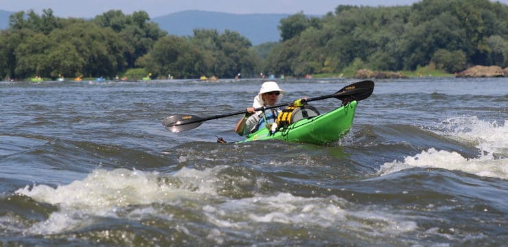
Exiting the channel, you will find yourself on the eastern side of the river with Boy Scout Island to your right. This part is still all downstream. Continue down river until you see the first cut to your right, which is the bottom of the island. Steer your boat up the small channel; it will take some strong paddling to get through the cut. Once you are beyond the top of the island on your left, it gets much easier.
We recommend hugging closer to the Boy Scout Island until you are a bit upstream. There are a number of underwater rocks in that stretch, and the current can be tricky if you head across the river and back to the launch site too soon. Once you catch sight of the Isle of Que Boat Access, make your way carefully across to the take-out.
Alternate Route

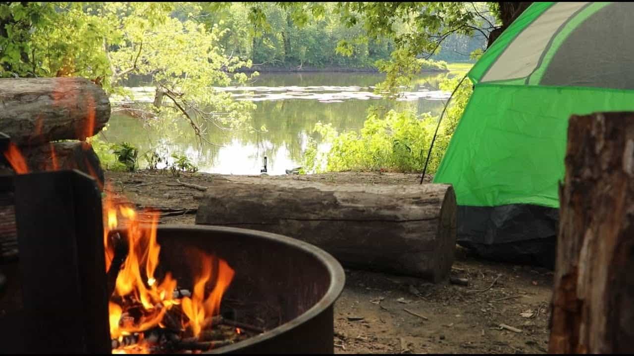
Island Campsite 116
For a slightly longer route and an opportunity to experience one of the river islands that are open to public camping, continue downriver instead of turning upstream at the bottom of Boy Scout Island. Continue to the next cut you see on the right and paddle over to Island Campsite 116 (40 46 07 N, 76 51 11 W) just to the south of Kinney Island. It will be marked with a green tent symbol. Feel free to take-out, explore the island, and enjoy an evening of camping. This campsite is primitive with only a fire ring and logbook, but it is free to use and first come first served. Island campsites are managed by the Susquehanna River Trail Association.
When it comes time to return to the Isle of Que, please keep in mind that it will be 1.5 miles of paddling upriver, adding .5-mile of upstream paddling to the original route. Be sure to hug shores as much as possible to make your journey back a little easier. This extension is recommended for experienced paddlers only.
Amenities
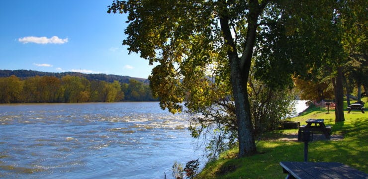
The Isle of Que boat launch has parking, a porta –john and picnic tables. The nearby Susquehanna Greenway River Town of Selinsgrove has restaurants, cafes, and a grocery store.
Put In / Take Out
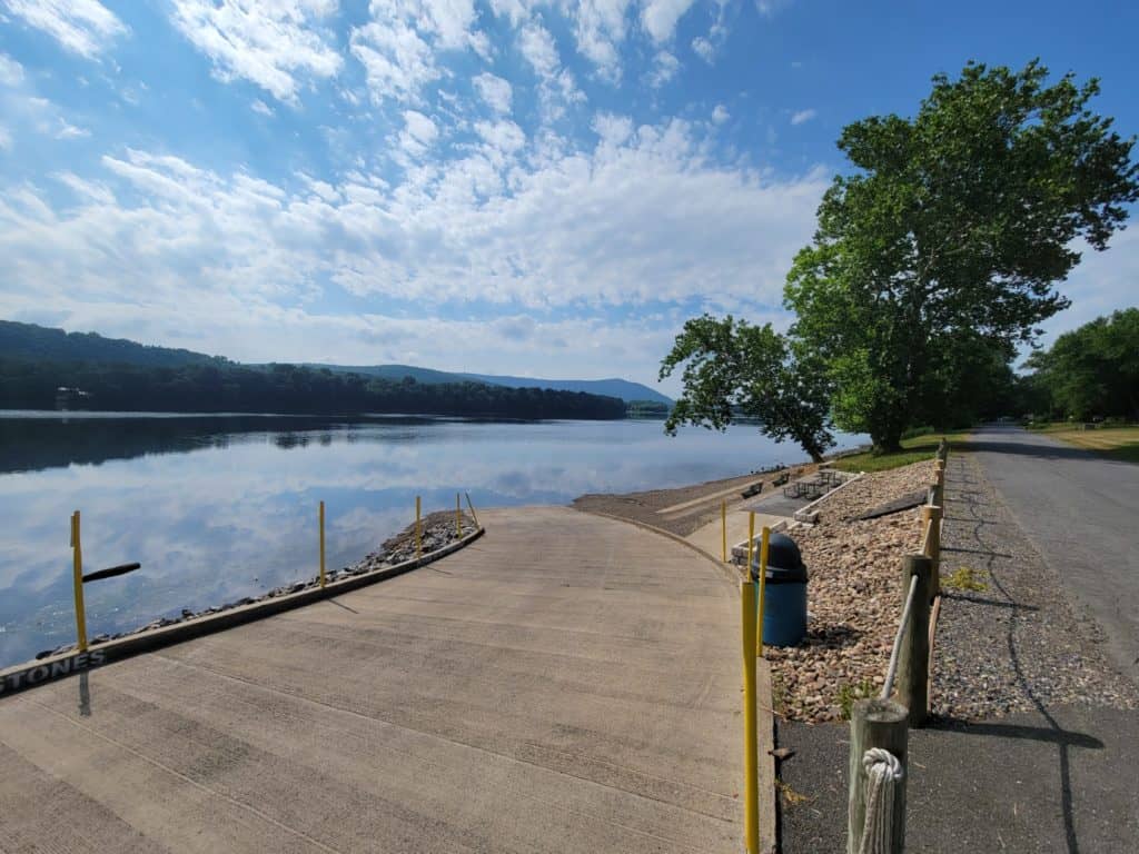
River Mile 118; Isle of Que Boat Access
This route corresponds with the Susquehanna River Water Trail – Middle Section Map & Guide (Side 1)