


At A Glance
This paddle from Fort Hunter to City Island presents a delightful blend of natural beauty and architectural wonders along the Susquehanna River Water Trail Middle Section. With an estimated completion time of 3-4 hours, a journey along this route will offer ample opportunity to take in the sights, including the Rockville Bridge, the protected birding area of Wade Island, and several other islands that are open to camping. Whether you plan to admire the tranquil flow of the river, marvel at the lush greenery lining its banks, or catch glimpses of wildlife in their natural habitat, every moment on the water promises to be a memorable one.

Description
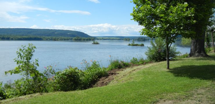
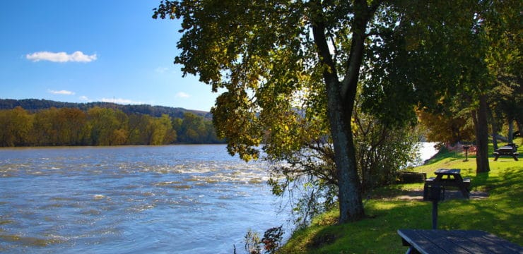
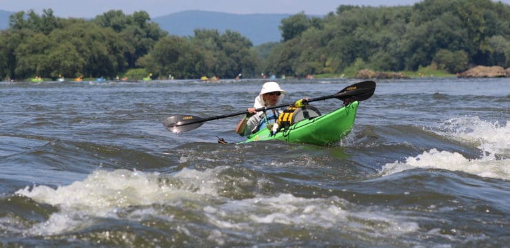
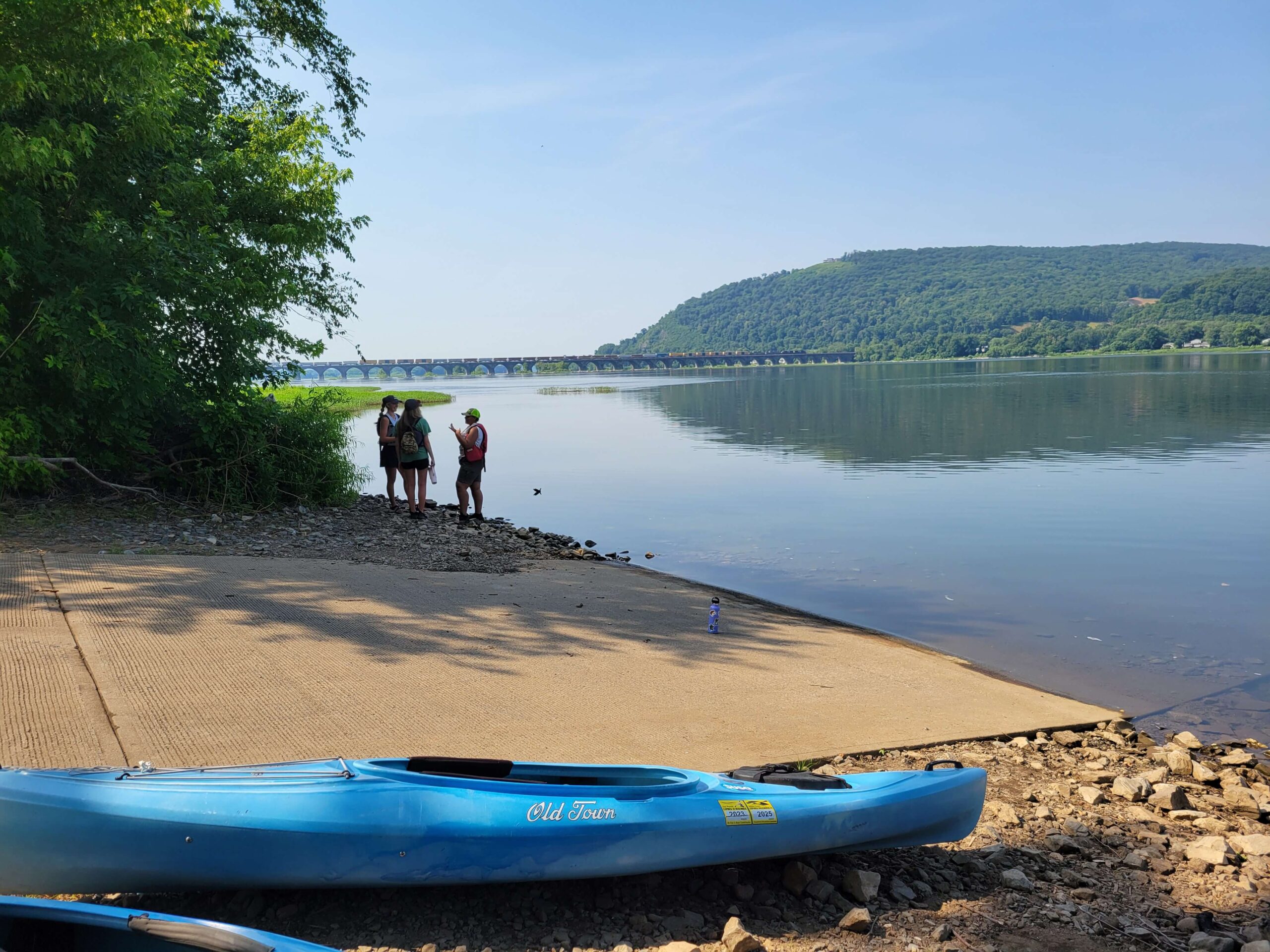
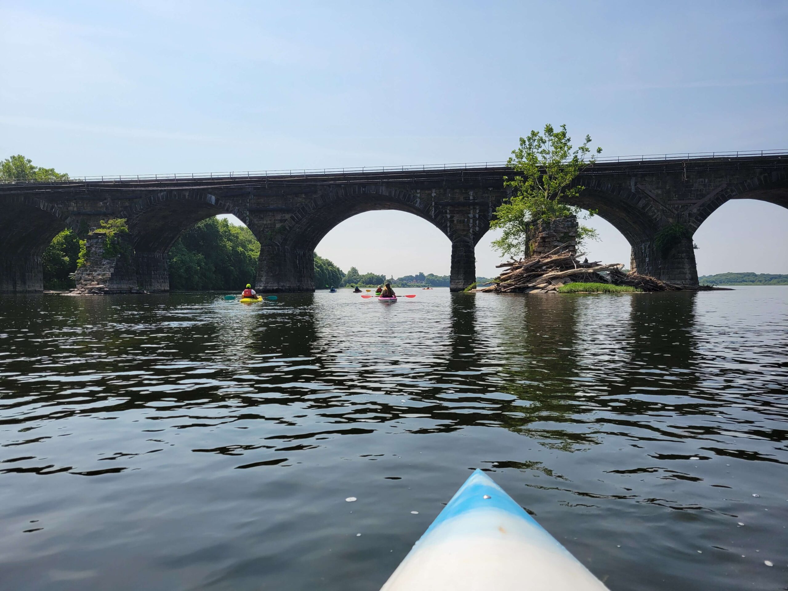
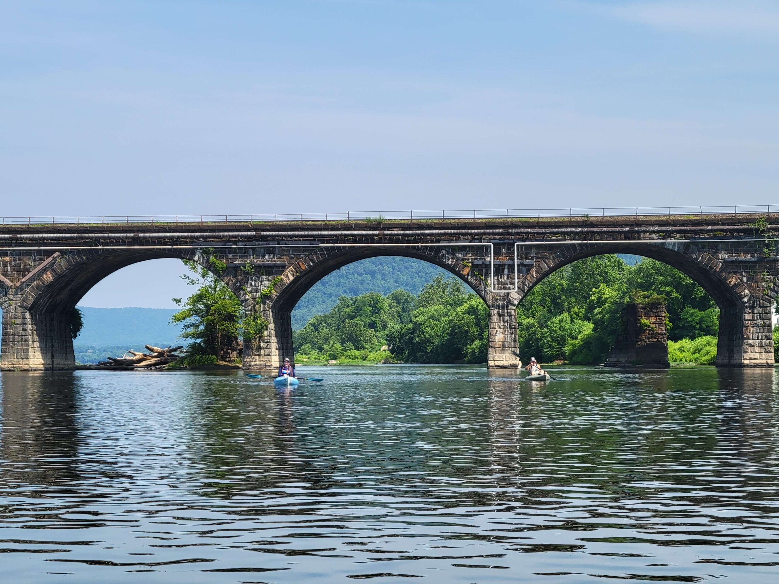
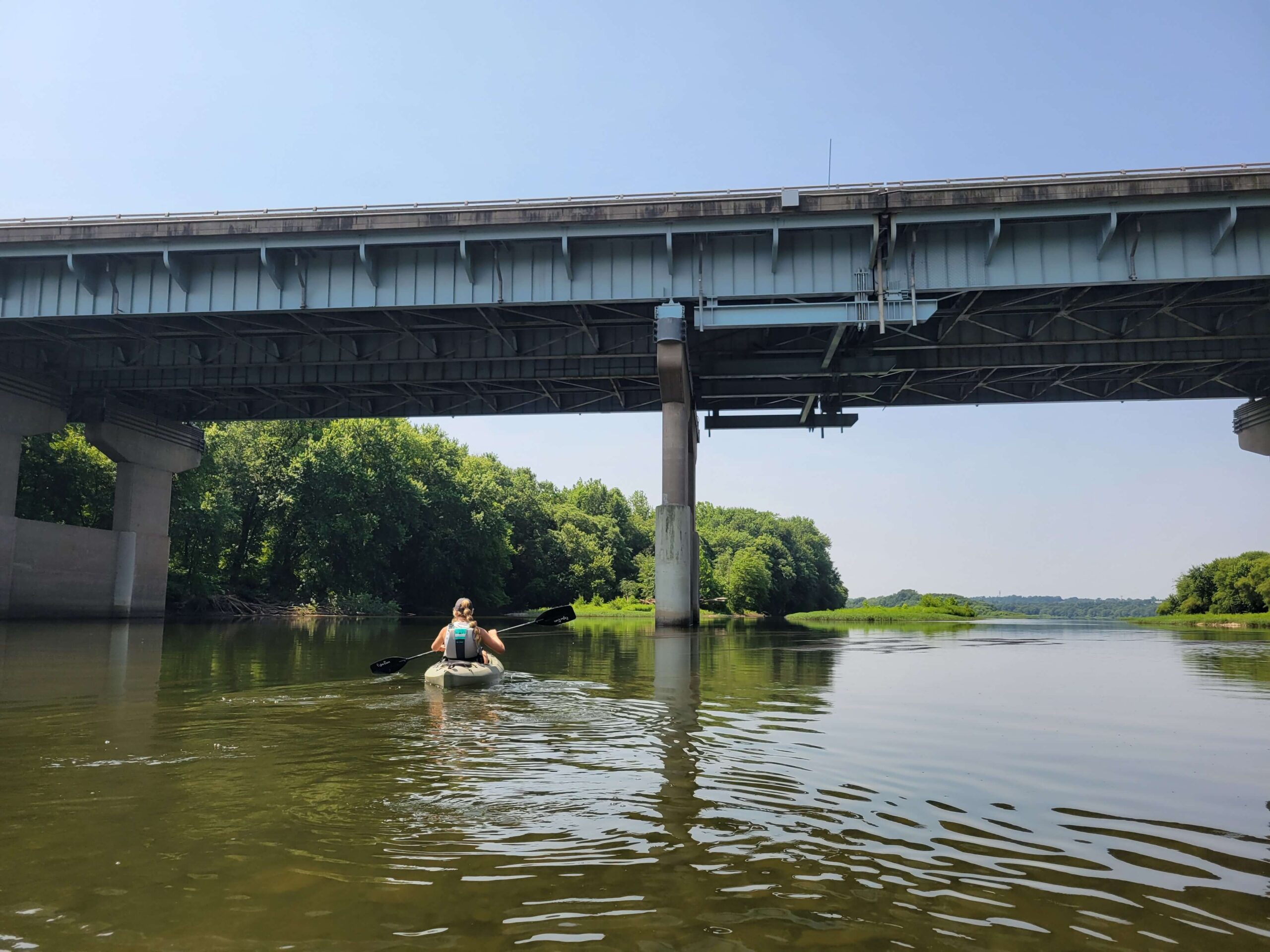
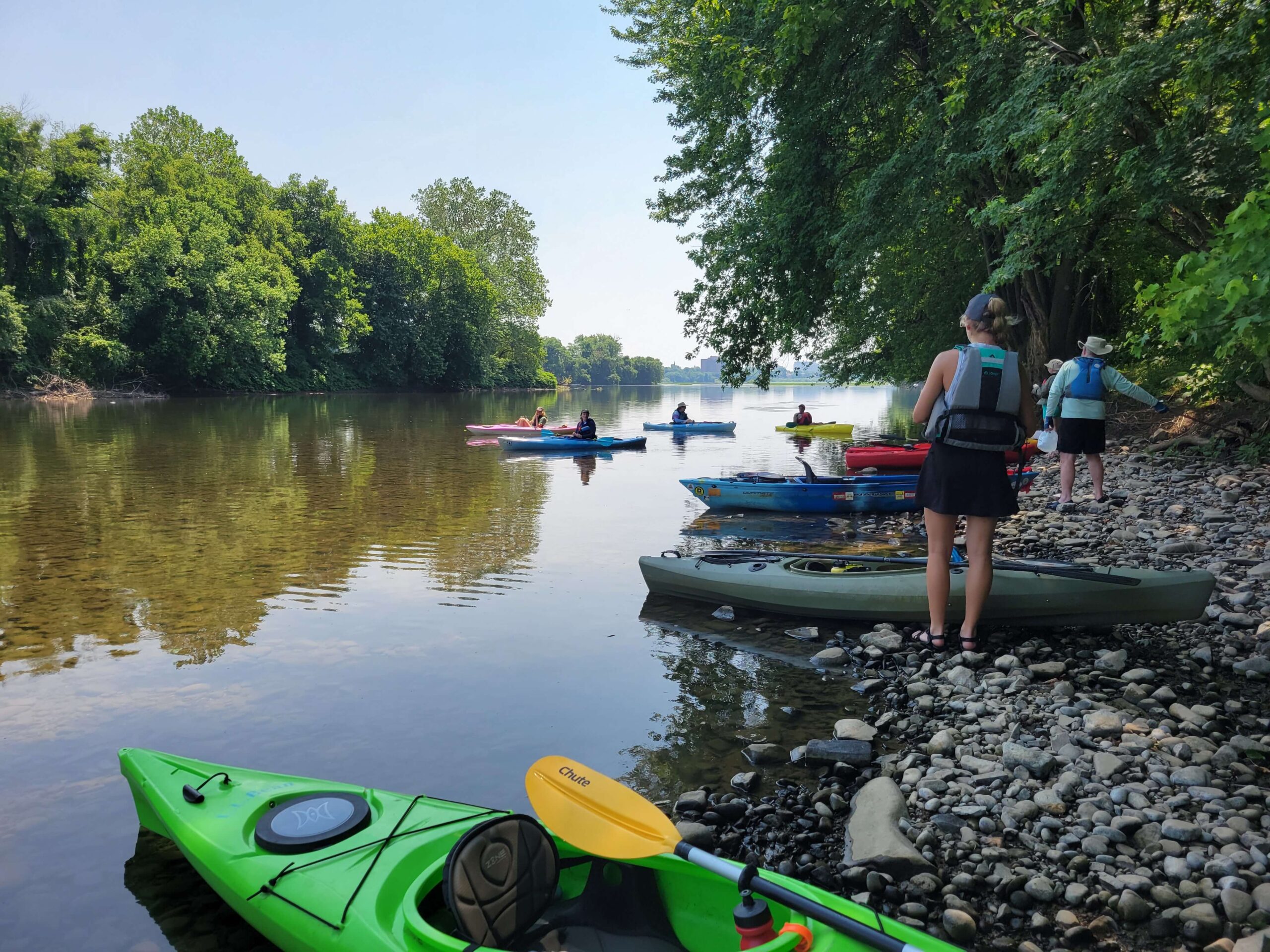
Begin your paddle at PFBC Fort Hunter Access, River Mile 77. As you launch your kayak and head downstream towards the Rockville Bridge, keep river left. This active railroad bridge is the longest stone masonry arch railroad viaduct ever built, with forty-eight 70-foot spans and a total length of 3,820 feet. Before passing beneath the bridge, there will be a series of rock ledges and riffles to navigate.
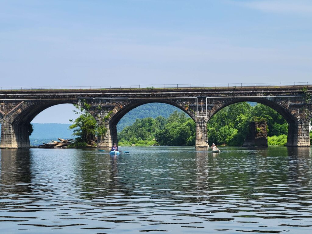
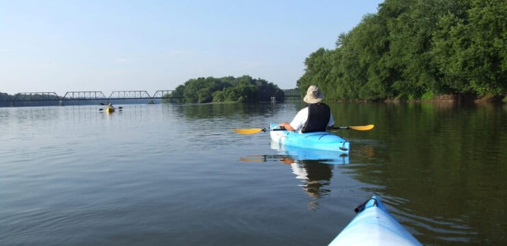
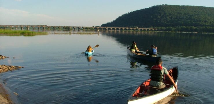
Paddling under the Rockville Bridge
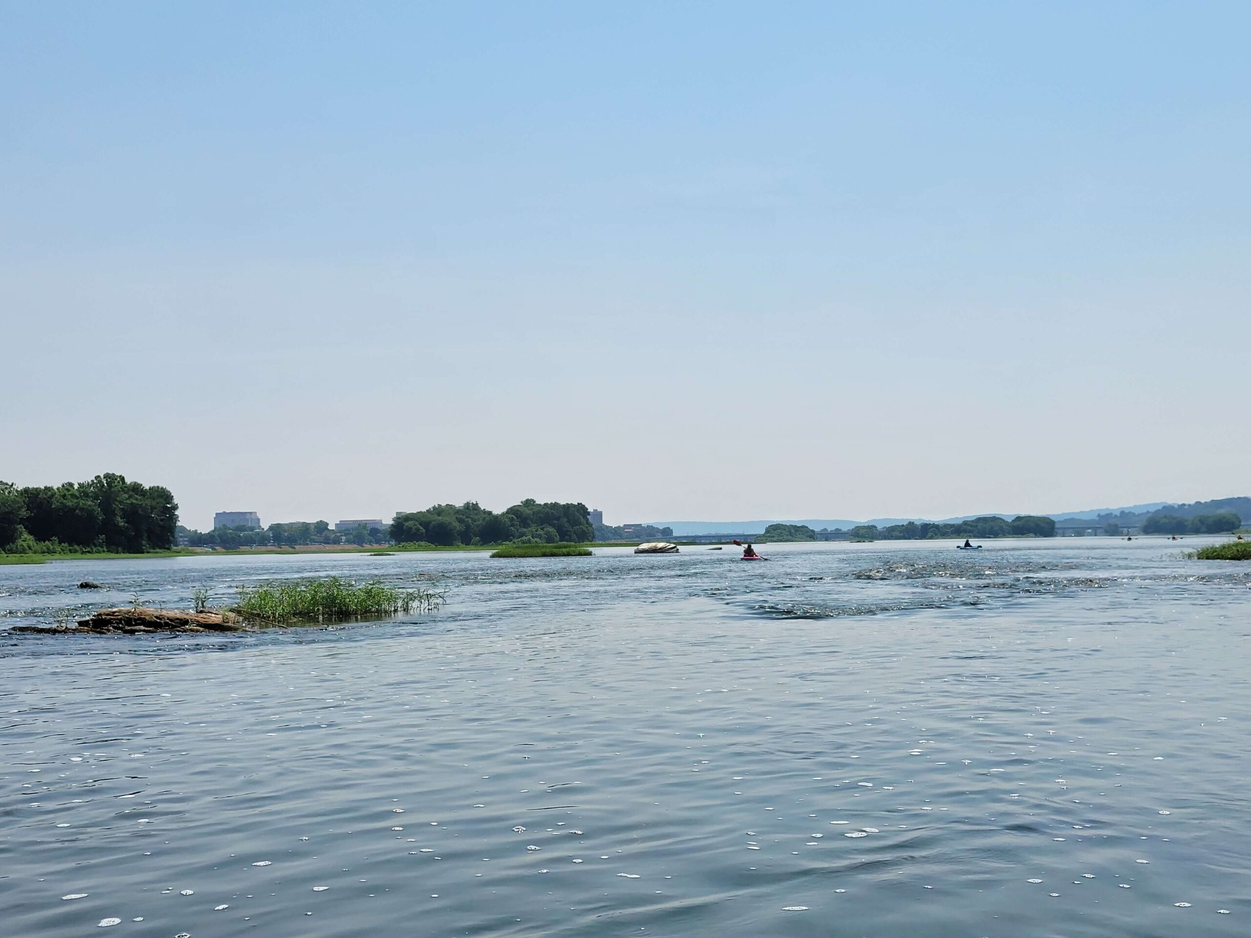
As you emerge from under the bridge at 0.4 mi the current will speed up between several islands with verdant foliage and occasional glimpses of wildlife darting in and out of the underbrush. Stay river left to avoid too much turbulence, as there is one more rock ledge.
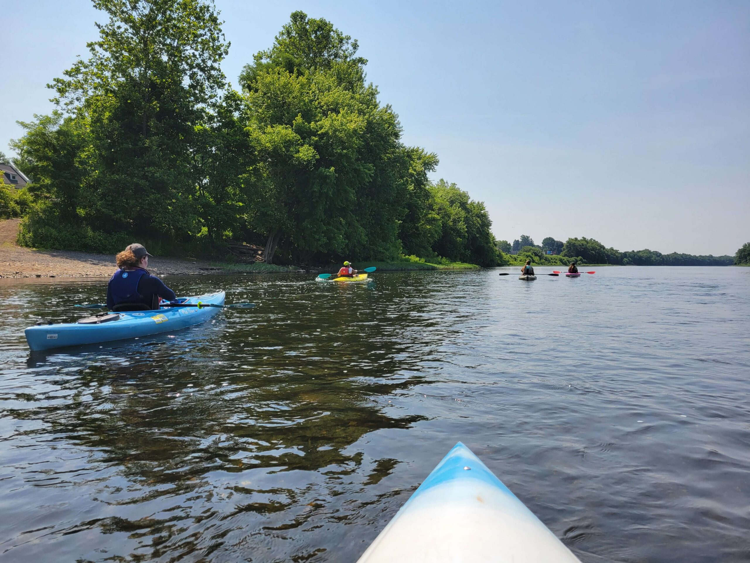
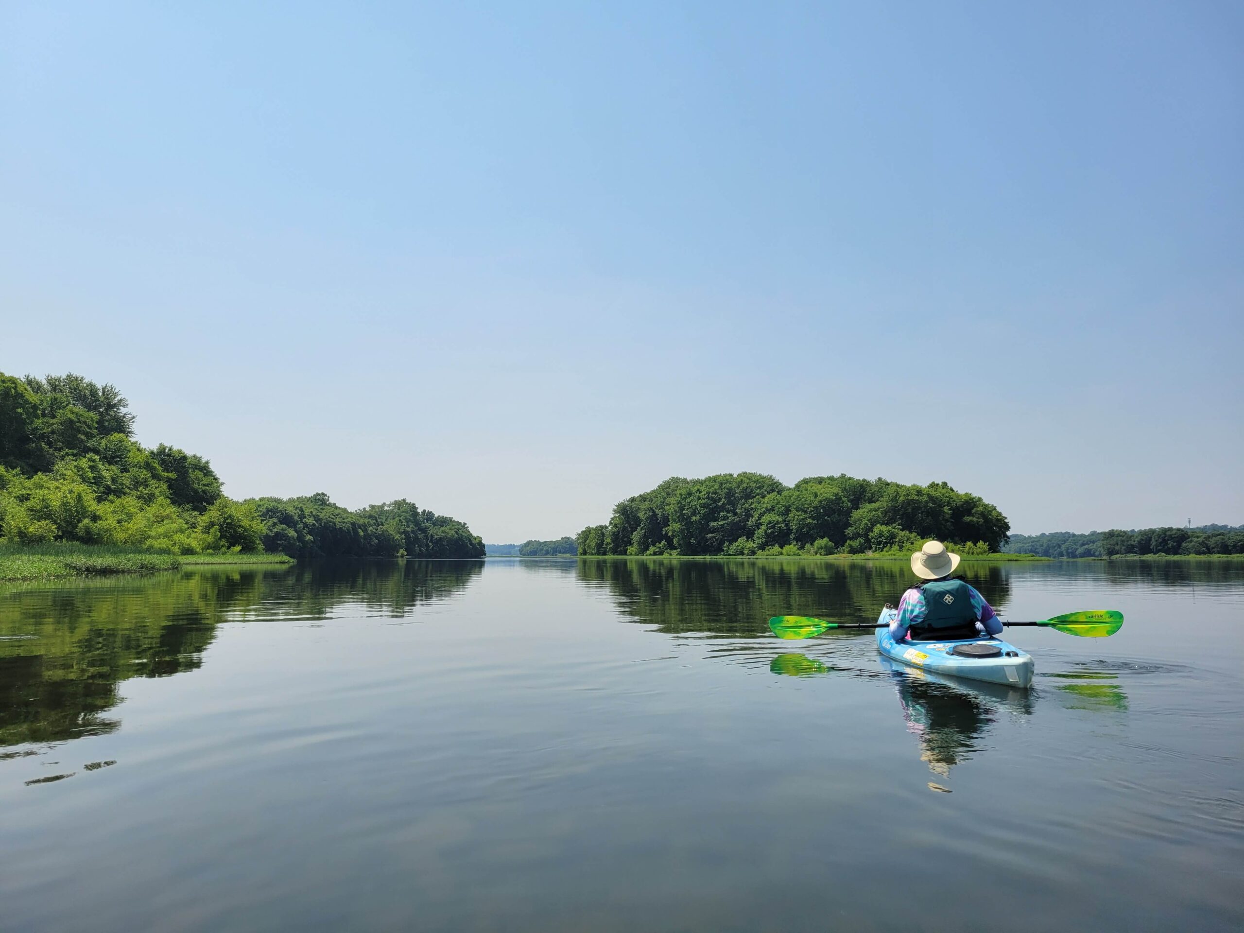
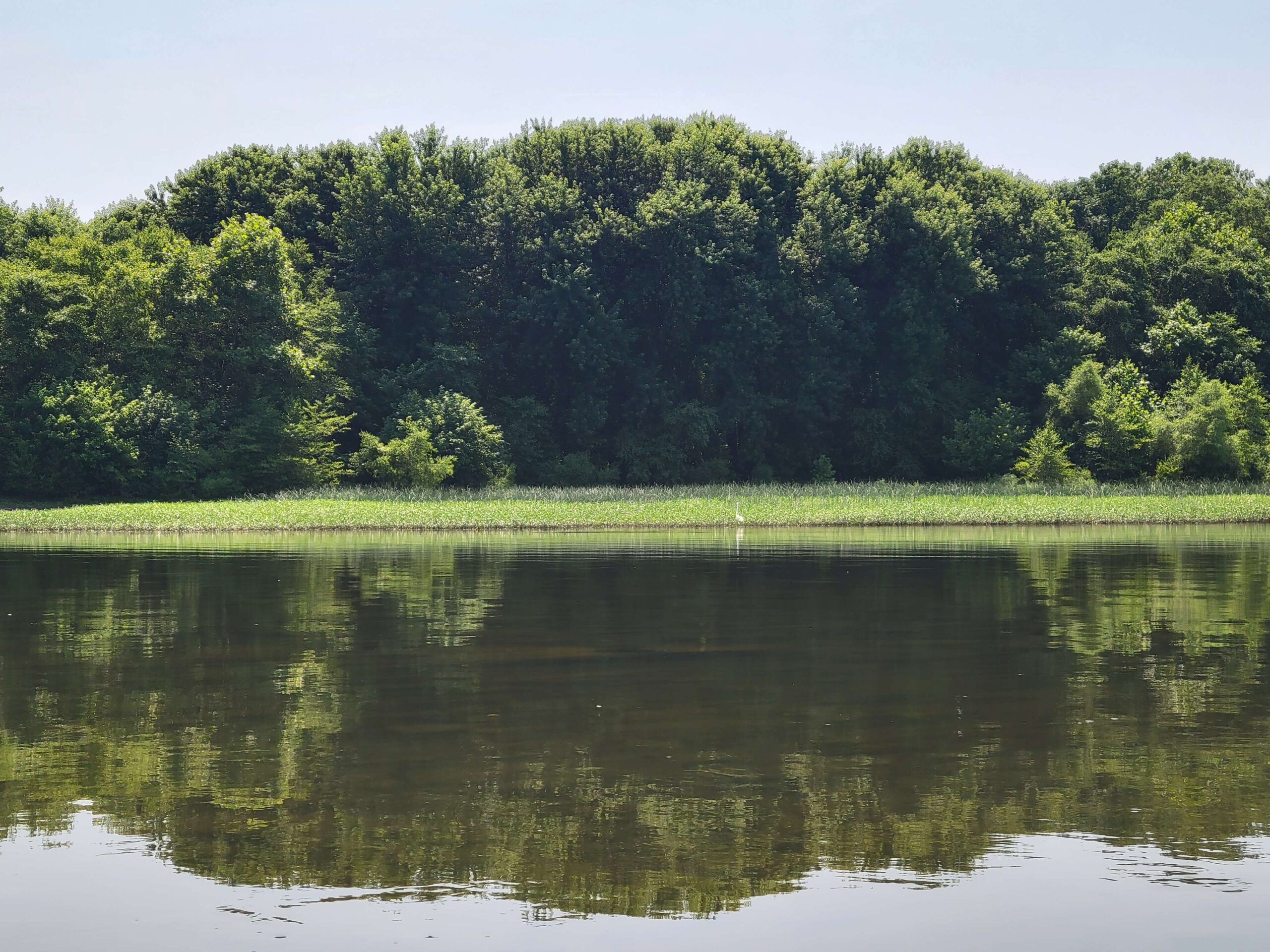
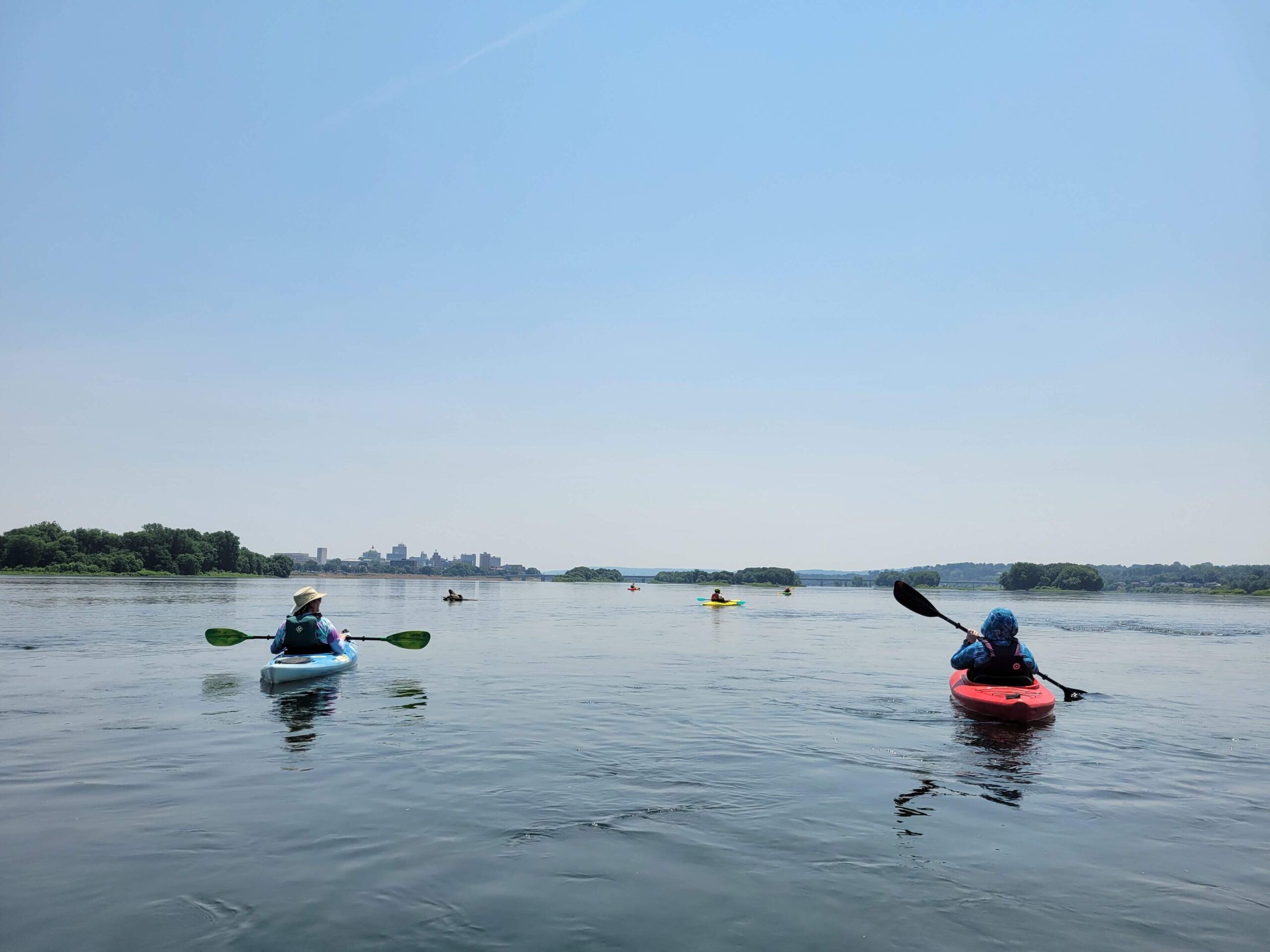
Up ahead, the Route-81 bridge will come into view among the river islands. As you near McCormick Island, you may choose to navigate the island channels on river left to take in their tranquil natural beauty. Or, for those less familiar with the route, pass on river right so as not to miss the chance to see the protected birding area of Wade Island. Landing is not permitted here, as it is home to one of Pennsylvania’s largest nesting colonies of herons and egrets.
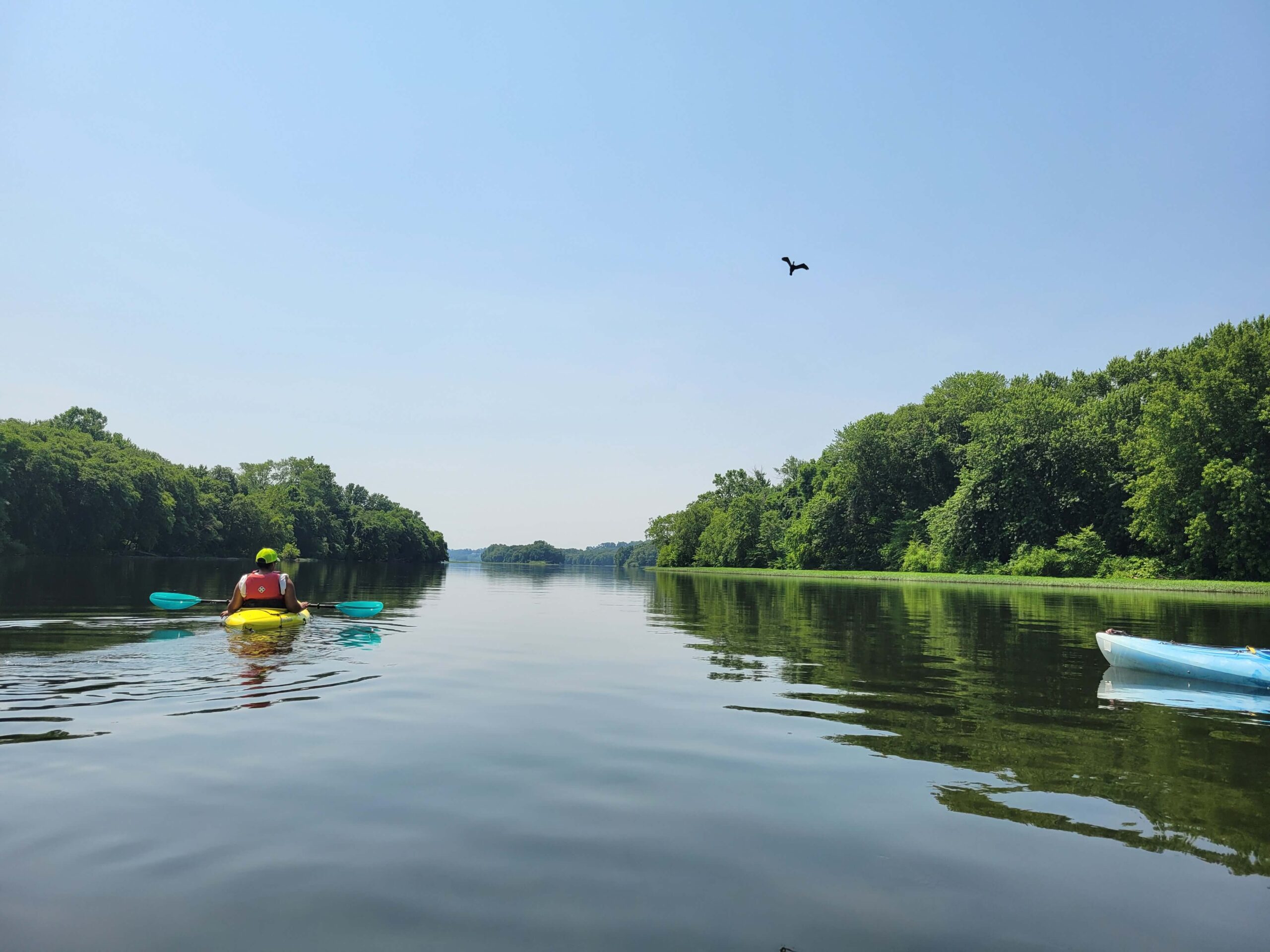
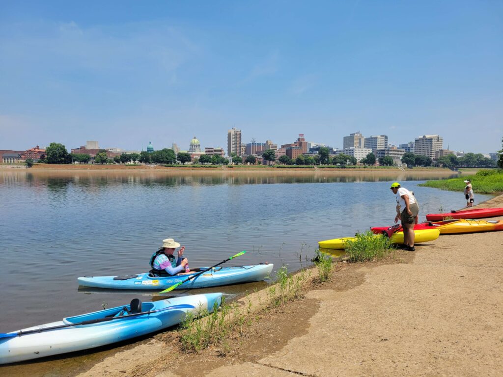
Continuing through what is known as the Sheets Island archipelago. Here is where you will encounter several primitive island campsites, open to the public on a first come first served basis. Coordinates and a map of the campsite locations are available here, or on the Map & Guide for this section of the water trail. Feel free to stop and stretch, have a snack or lunch, or plan an overnight adventure.
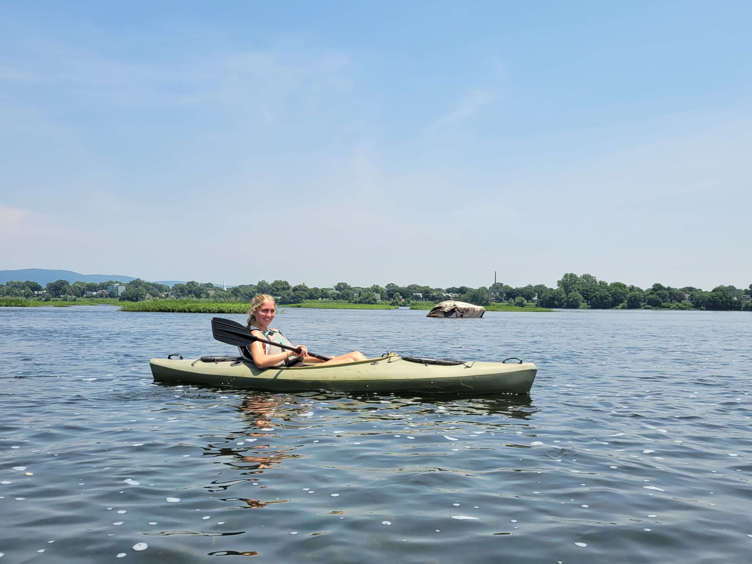
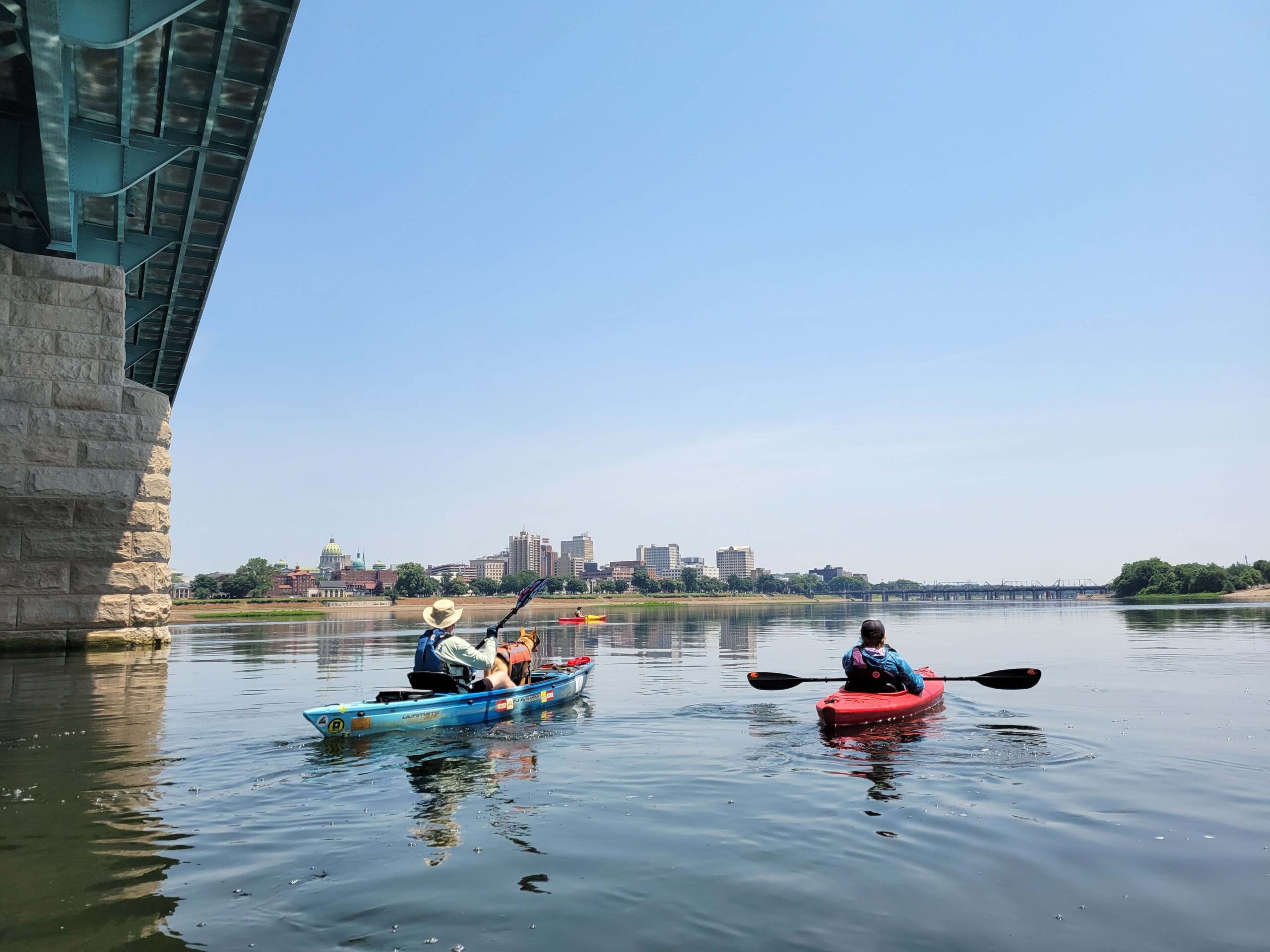
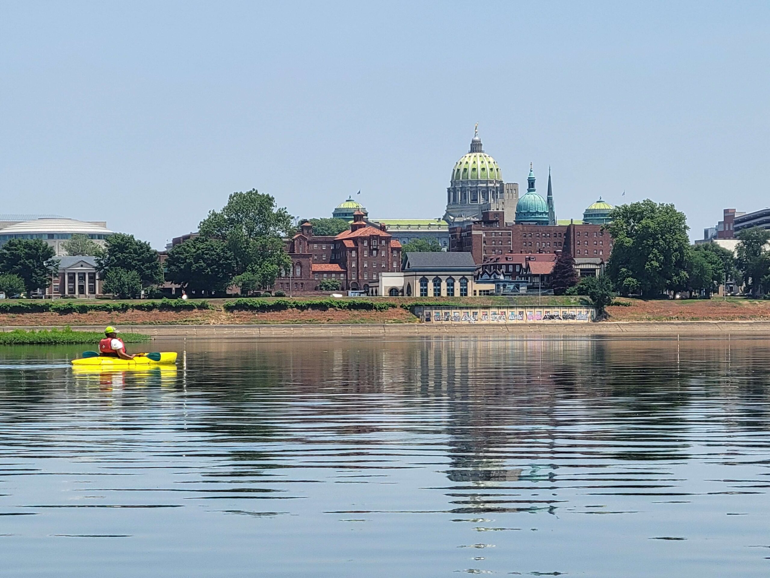
As you near the end of your journey, the span of the M. Harvey Taylor Bridge will come into view, stretching across the river like outstretched arms welcoming you to your destination. After passing beneath the bridge, you will see the top of City Island at the river’s center. You may take out at the head on City Island Beach or continue river right to take out at the official boat launch.
Amenities
Both accesses have boat ramps, parking areas, restrooms, picnic facilities, and are near restaurants, grocery stores, and accommodations. PFBC Fort Hunter Access is handicap accessible and requires a PA state launch permit.
Put in
River Mile 77: PFBC Fort Hunter Access

Take out
River Mile 71: City Island
This route corresponds with the Susquehanna River Water Trail – Middle Section Map & Guide (Side 2)