At A Glance
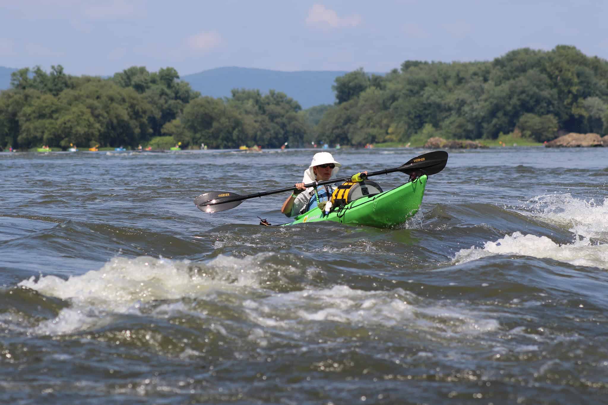
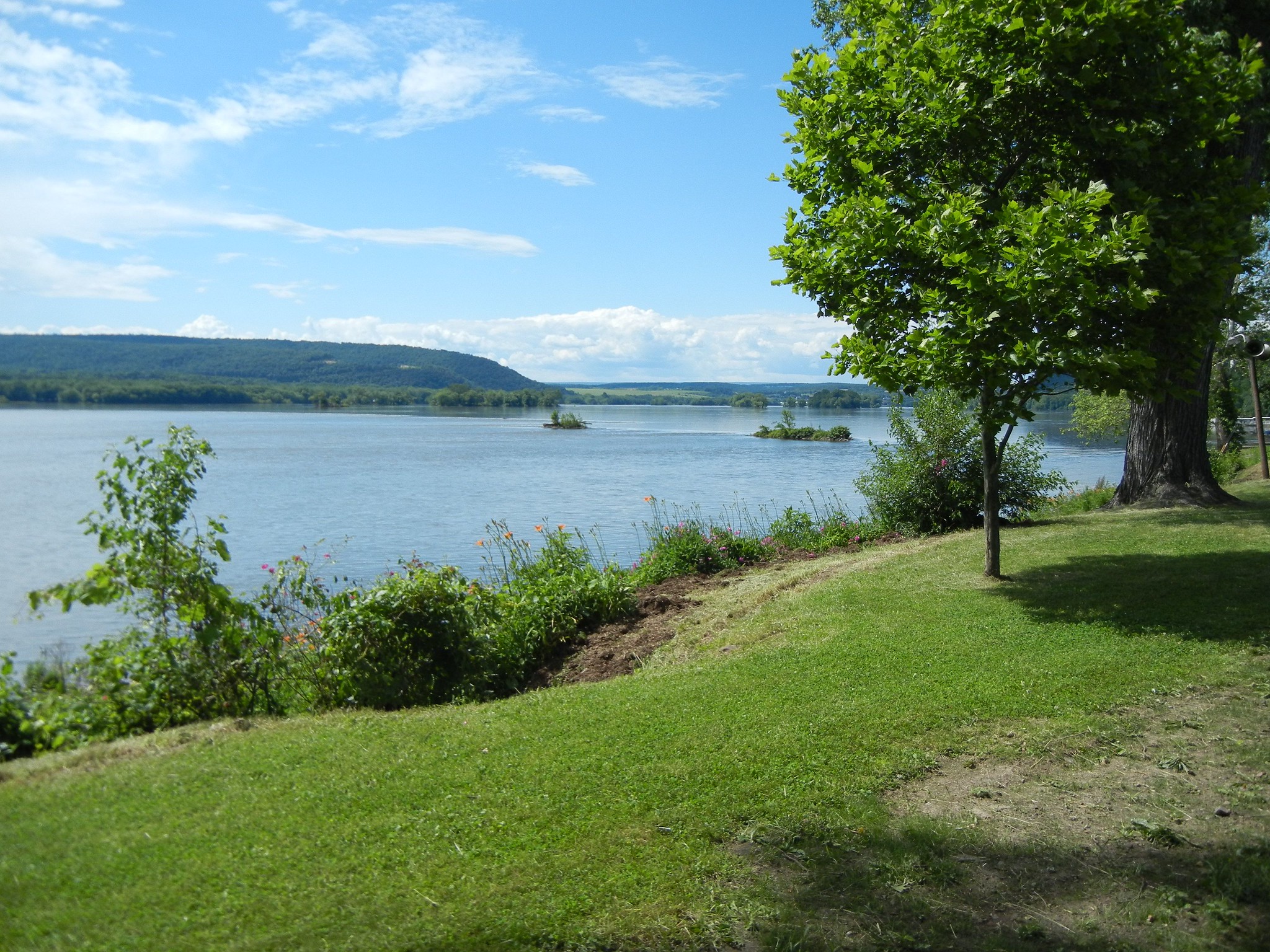
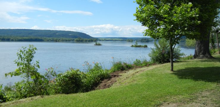
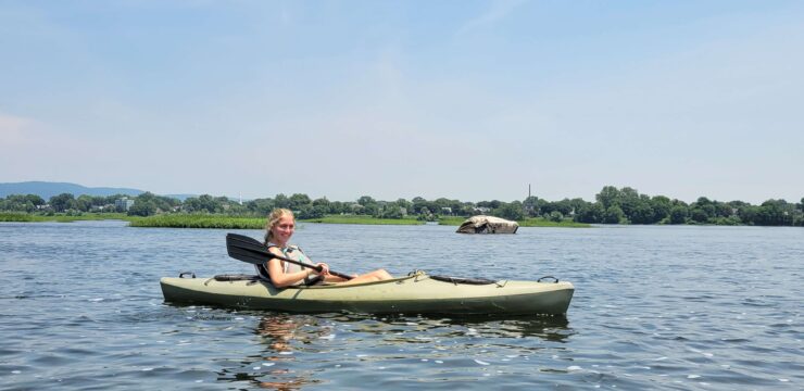
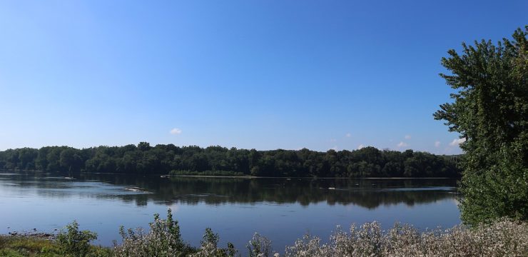
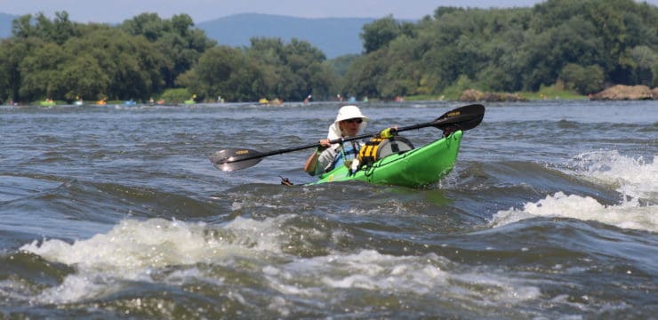
This day trip offers the unique opportunity for paddlers to experience the islands of the Middle Susquehanna, 23 of which are open to primitive overnight camping. In the Susquehanna Greenway River Town of Selinsgrove, you’ll embark from the Isle of Que—a charming neighborhood with Native American heritage where Penns Creek meets the river. From here, you will be enveloped amidst an abundance of island scenery with a chance to run Class I river rapids at McKees Half Falls.
Description
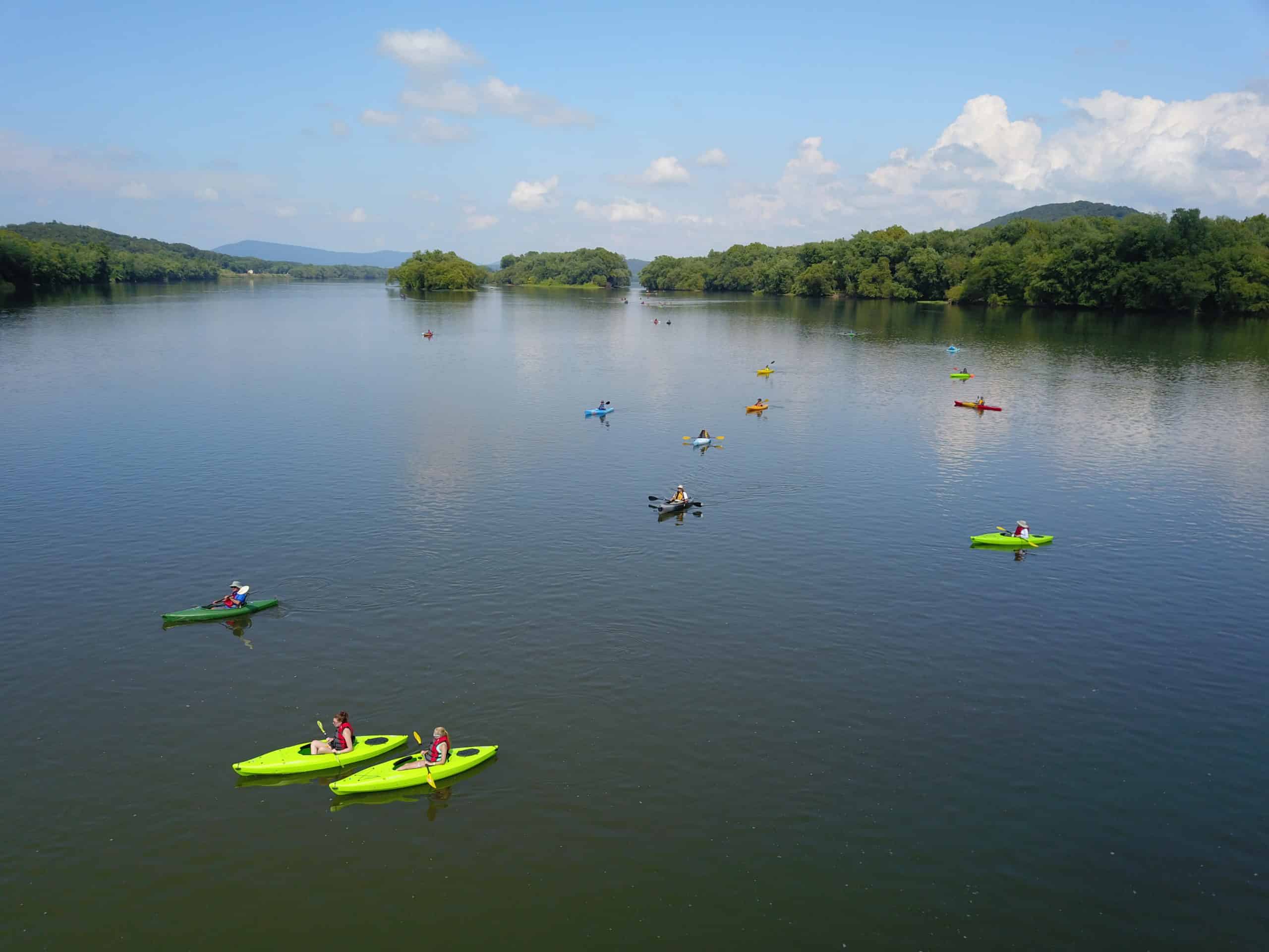
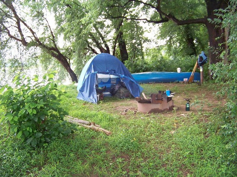
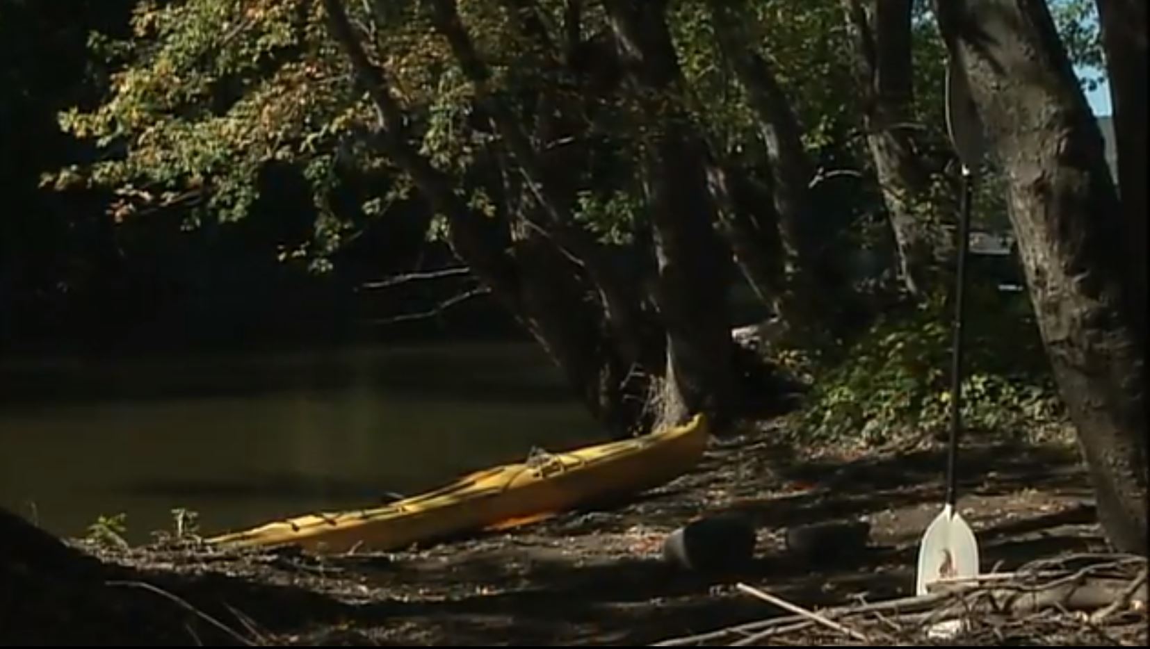
This overnight trip offers a unique opportunity: primitive camping on one of the 400 islands that dot the Susquehanna between Sunbury and Harrisburg. On 23 of these islands, Susquehanna River Trail Association, the Susquehanna River Water Trail’s 50-mile Middle Section water trail steward, has developed and maintained rustic, first come first served, campsites for use by boaters. This paddle trip includes long stretches of tranquil water dotted by small towns. Course goes river right of most islands randomly.
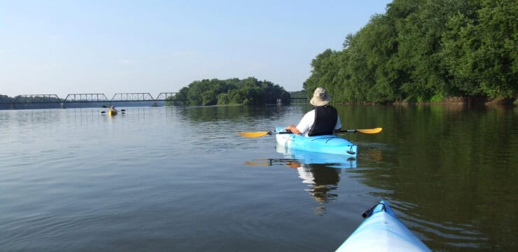
Head downstream from Selinsgrove launch. If in need of sustenance, head directly across the river at the end of the first major island encountered (Boy Scout Island) and dock at the beautifully restored historic Penn’s Tavern at Fishers Ferry. Next up are Little Hoover and Hoover Islands, and PFBC Hoover Access on river right at river mile 115. Around river mile 112, vegetation-covered bridge pier remnants from a railroad bridge can be seen, around the middle of Whites Island, and shortly after is Port Trevorton access on river right at river mile 111.

Next is a cluster of islands with campsites- refer to SRTA’s Water Trail map. Site 111 on Toad Island was chosen randomly for this trip, about 7 river miles from launch. There are 5 other sites nearby if 111 is taken. Be sure to read and follow the Leave No Trace and Waste Management sections on SRTA’s Water Trail Map. They put a lot of work into obtaining and maintaining access to, and the upkeep of, the island campsites. Please be respectful so they’re around for future generations to use.
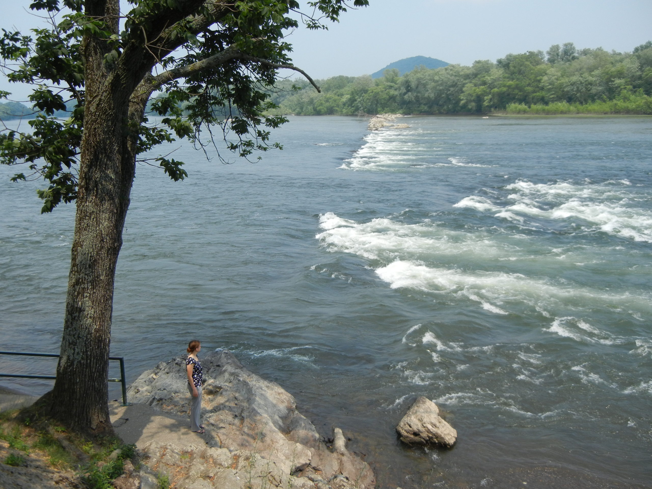
 After a unique overnight experience, pack up and head downstream. Our route remains generally river right of islands. McKees Half Falls, about 4 miles from Toad Island, may require scouting ahead. These rocks represent a layer of sandstone rock formation that is more resistant to the constant water erosion of the river. There is a rest area river right on US-11/15 here that offers a scenic overlook, picnic area, and steps down to the river.
After passing the PFBC Mahantango Access at river mile 106, stay river right to avoid some rocks/rapids south of Browns Island. Next up is the mouth of West Branch Mahantango Creek, then PFBC Sweigart’s Island access around mile 103 (if you go river right of the island).
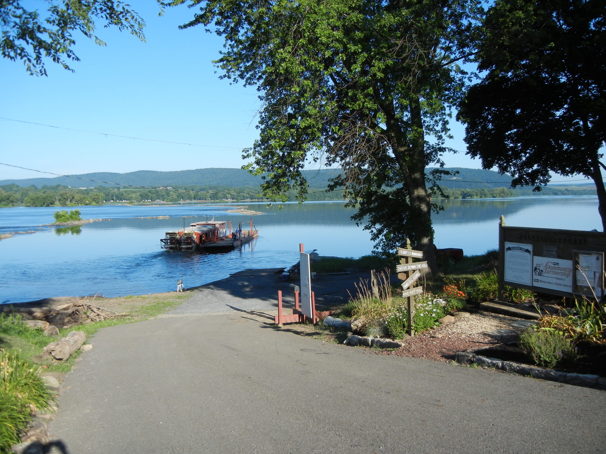
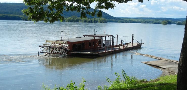
To avoid more rocks and rapids at Millersburg, take out at Millersburg River Front Park on river left. If time allows, or if your shuttle is across the river, take the Millersburg Ferry, a scenic ride on the last wooden stern paddlewheel ferry in the country at one of the widest spots on the river (approximately a mile). This is the last remaining ferry service on the Susquehanna and runs consistently- just flip the door at the launch area, and the ferry will come get you.
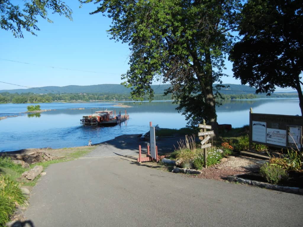
Millersburg Ferry
Amenities
Selinsgrove is an SGP River Town, with a fun, interesting downtown full of fun shops, restaurants, and lodging options, along with the quirky Isle of Que, Selinsgrove Speedway, Susquehanna University. Once you disembark, hop a ride on the Millersburg Ferry Boat (the only one remaining on the river).
Put In
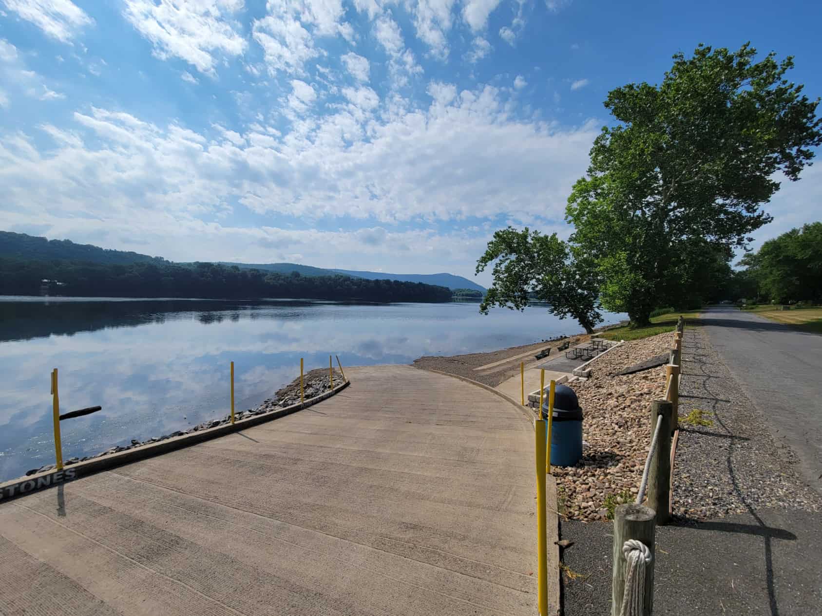
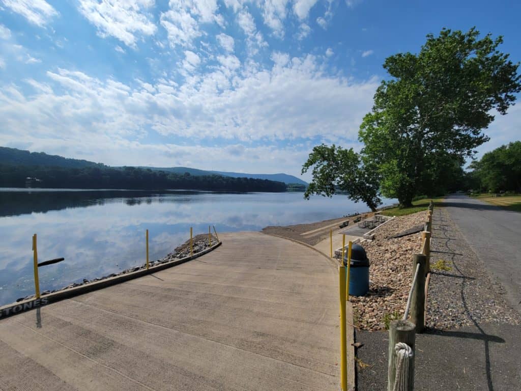
River Mile 117: PFBC Isle of Que Access (boat ramp, river right)
Take Out
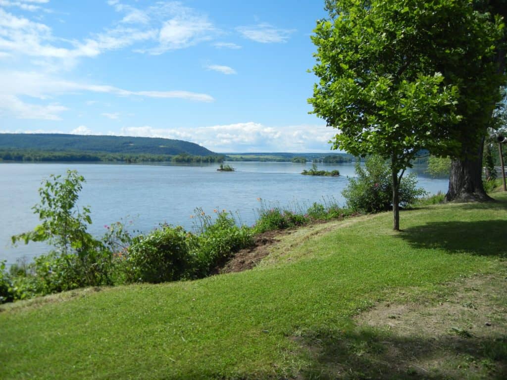
River Mile 98: Millersburg River Front Park (river left)
For Water Trail map, refer to Susquehanna River Water Trail, Middle Section Map (side 1)


