At A Glance
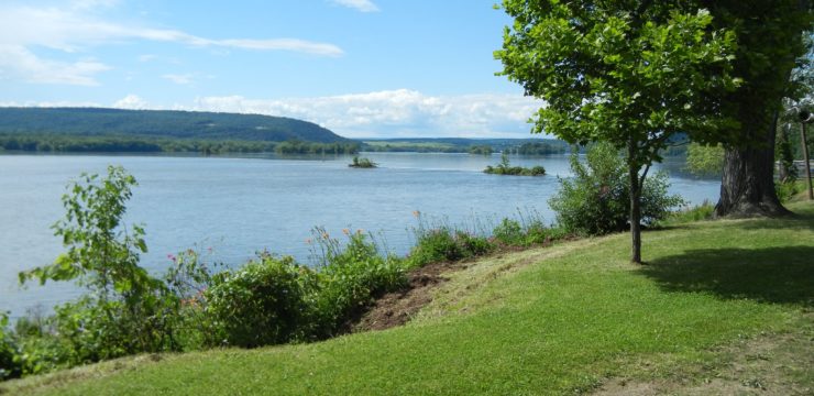
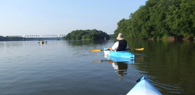
This section of the Middle Susquehanna, just north of Harrisburg, has much to offer in history and sightseeing with several significant landmarks, islands abundant with birds and wildlife, and some exciting river rapids at the Dauphin Narrows. Due to these rapids, this itinerary is a trip best suited for paddlers with moderate experience. The excursion also takes paddlers past points of interest including the Susquehanna’s Lady Liberty standing atop railroad bridge ruins, the world-renowned Rockville Bridge, and Fort Hunter Mansion and Park.
Description
This section of the Middle Susquehanna, just north of Harrisburg, has much to offer in history and sightseeing with several significant landmarks, islands abundant with birds and wildlife, and some exciting river rapids at the Dauphin Narrows. Due to these rapids, this itinerary is a trip best suited for paddlers with moderate experience. The excursion also takes paddlers past points of interest including the Susquehanna’s Lady Liberty standing atop railroad bridge ruins, the world-renowned Rockville Bridge, and Fort Hunter Mansion and Park.
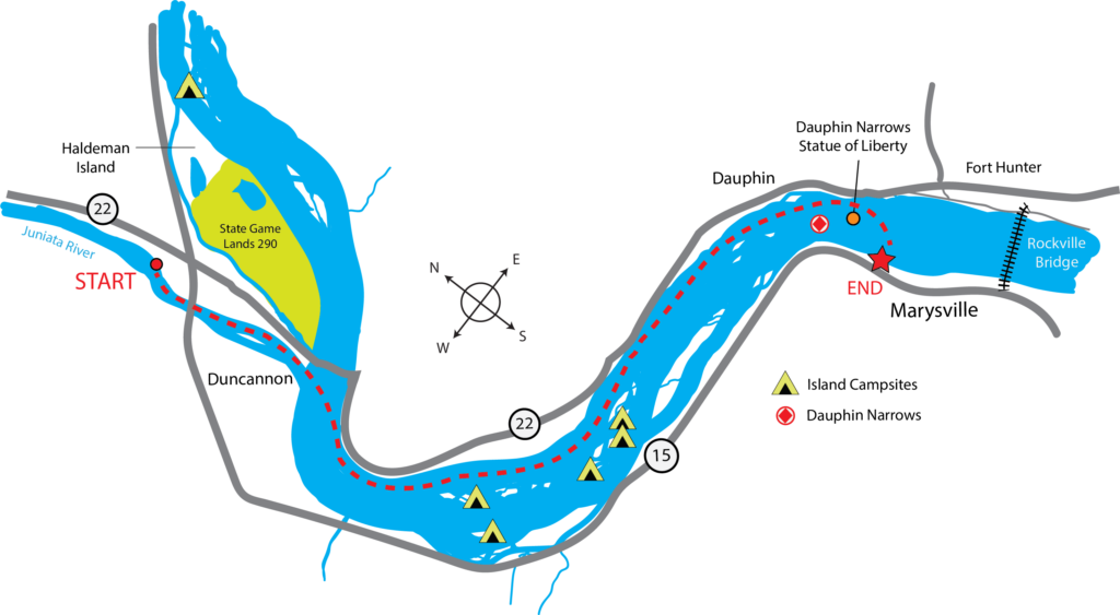
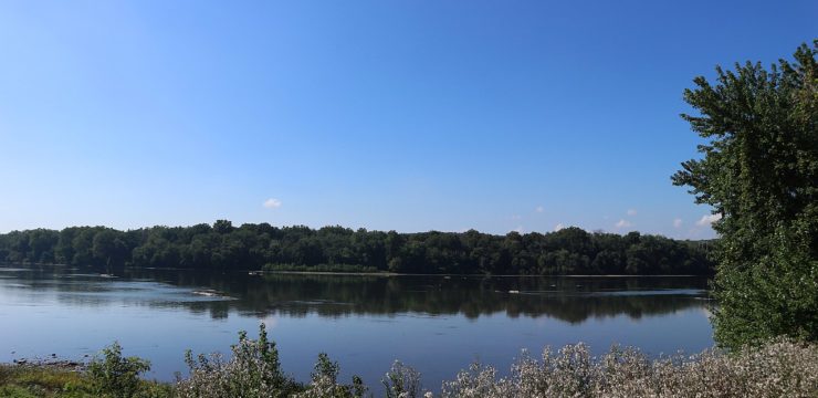
To begin this adventure, launch from the Amity Hall Access along the Juniata River just north of Duncannon. Paddle down to the Susquehanna River, staying river-right to begin your voyage. For the next stretch feel free to explore the river, cruise the shore lines, paddle the many channels between the islands, float down the middle, or feel free to explore the islands themselves. These islands can be a nice picnic stop, but be respectful of private property signs and mindful of poison ivy and slippery river banks. Not all of the islands are open to public access – consult the Middle Section Water Trail map and/or SRTA website for more info.
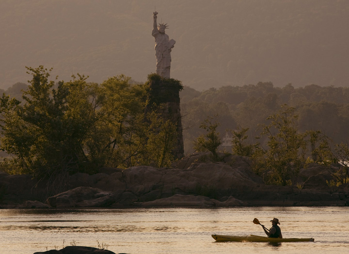
Dauphin Narrows Statue of Liberty
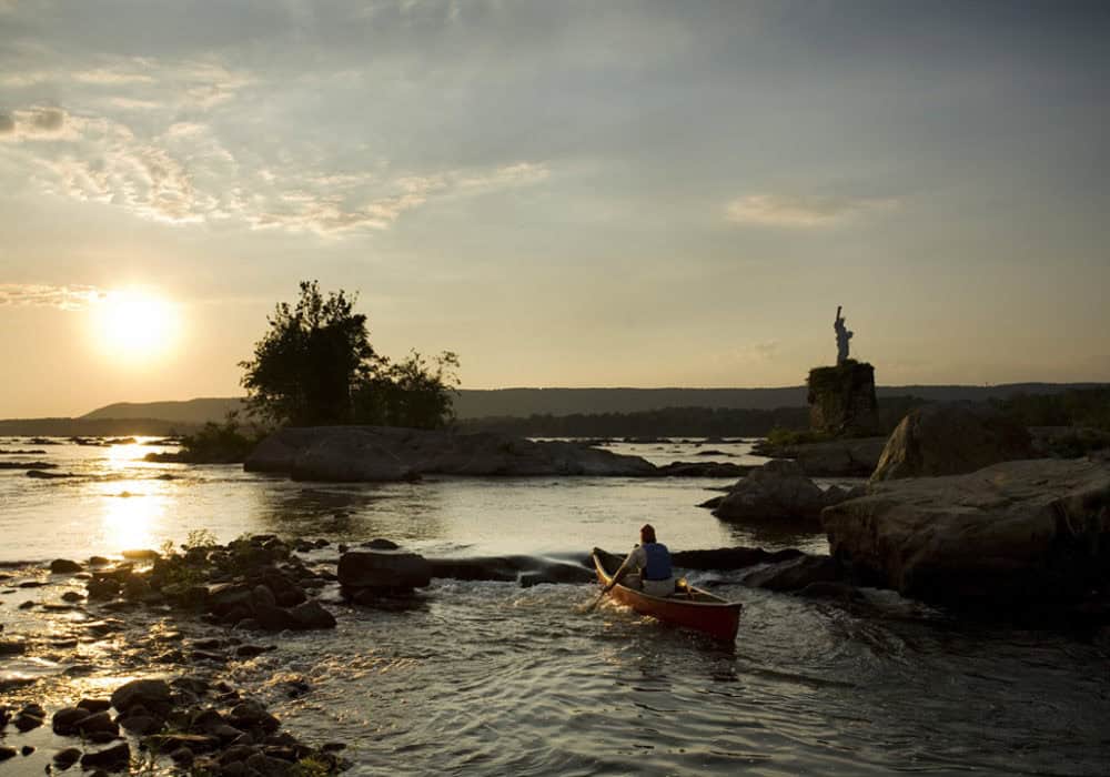
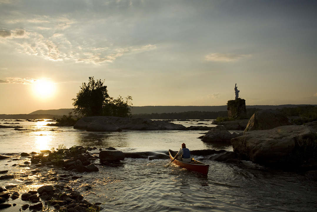
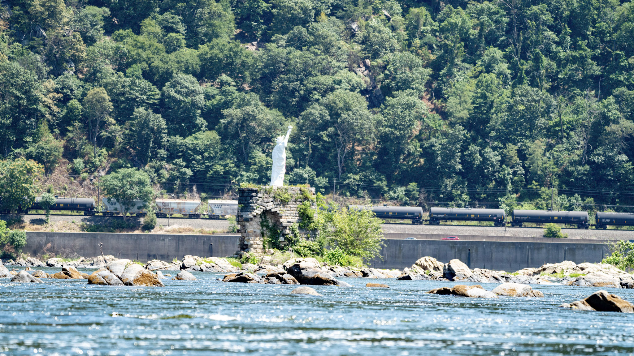
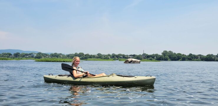
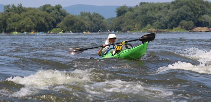
Eventually around RM 79, you will reach the Dauphin Narrows area. It is imporant to keep far river-left for this stretch at all water levels. Stay a couple boat lengths from shore as you encounter three sets of small waves. There are also a few rocks and ledges to avoid. Any route other than far river-left risks endangerment to yourself, your boat, and any possessions in your boat. Some significant features to admire in this area are the old bridge piers and the Dauphin Narrows Statue of Liberty.
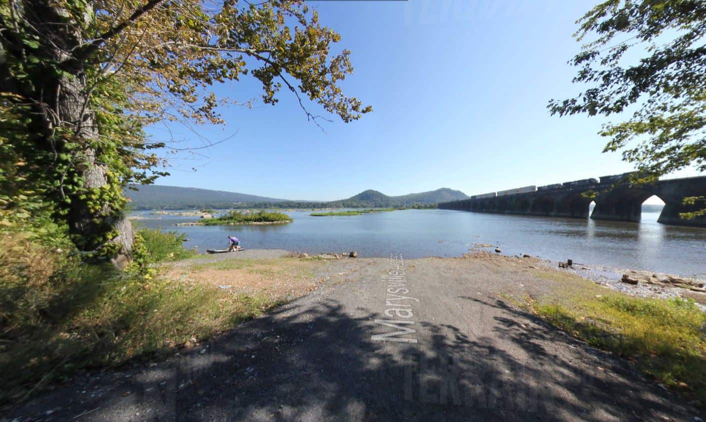
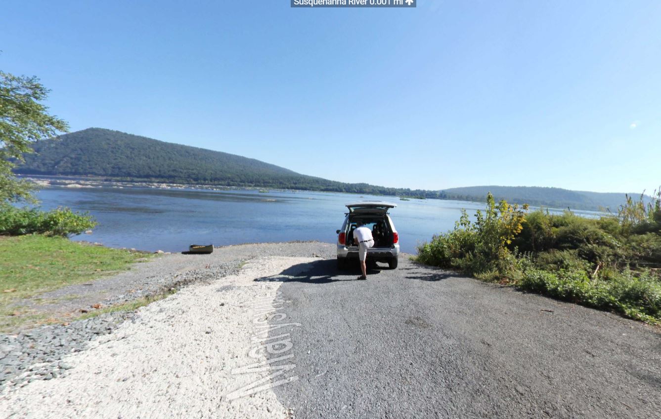
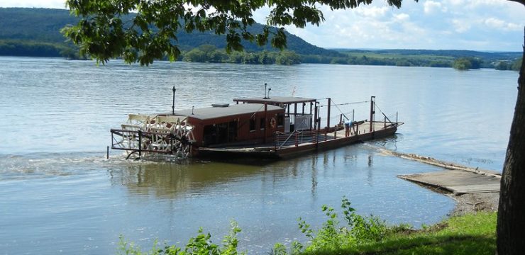
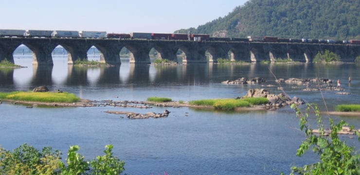
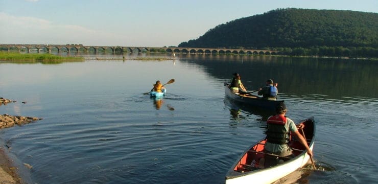
After going through the third set of waves, return to the river-right shore for the take-out. You can take out at either the Marysville Access (closer to town) or Marysville Heritage Park Access (past town, closer to the Rockville Bridge), which are both on river-right. Be on the look out for the Rockville Bridge. Completed in in the year 1902, the Rockville Bridge was, and remains, the longest stone masonry arch railroad viaduct in the world. Another nearby attraction is the Fort Hunter Mansion and Park on the Susquehanna’s left bank.
Amenities
Boat ramp and parking at each access; the Marysville Access is near restaurants and groceries.
Put In
Juniata River at Amity Hall PFBC Access
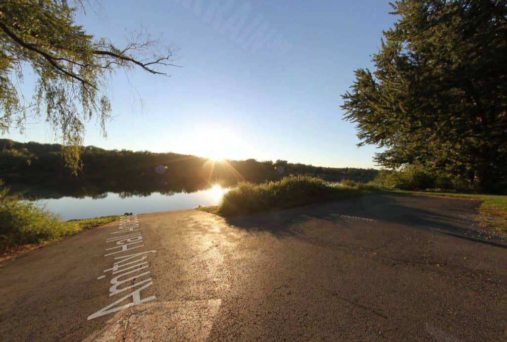
Juniata River at Amity Hall PFBC Access (Captured with Terrain 360)
Take Out
River Mile 77: Marysville Heritage Park Access
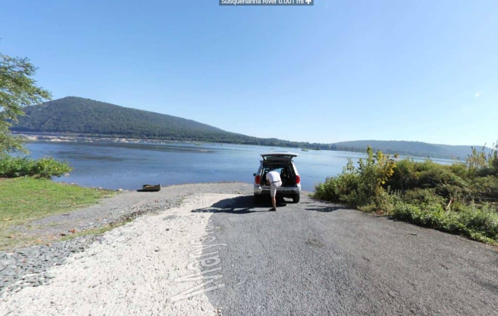
Marysville Borough Schrauder Heritage Park
For Water Trail map, refer to Susquehanna River Water Trail, Middle Section Map (side 2)


