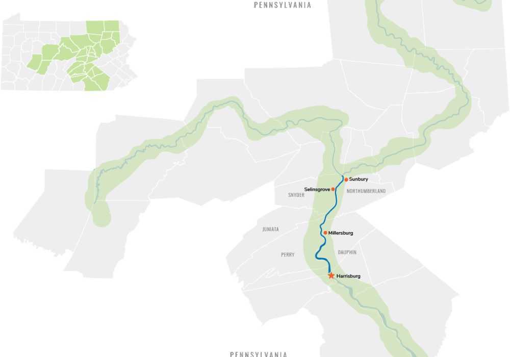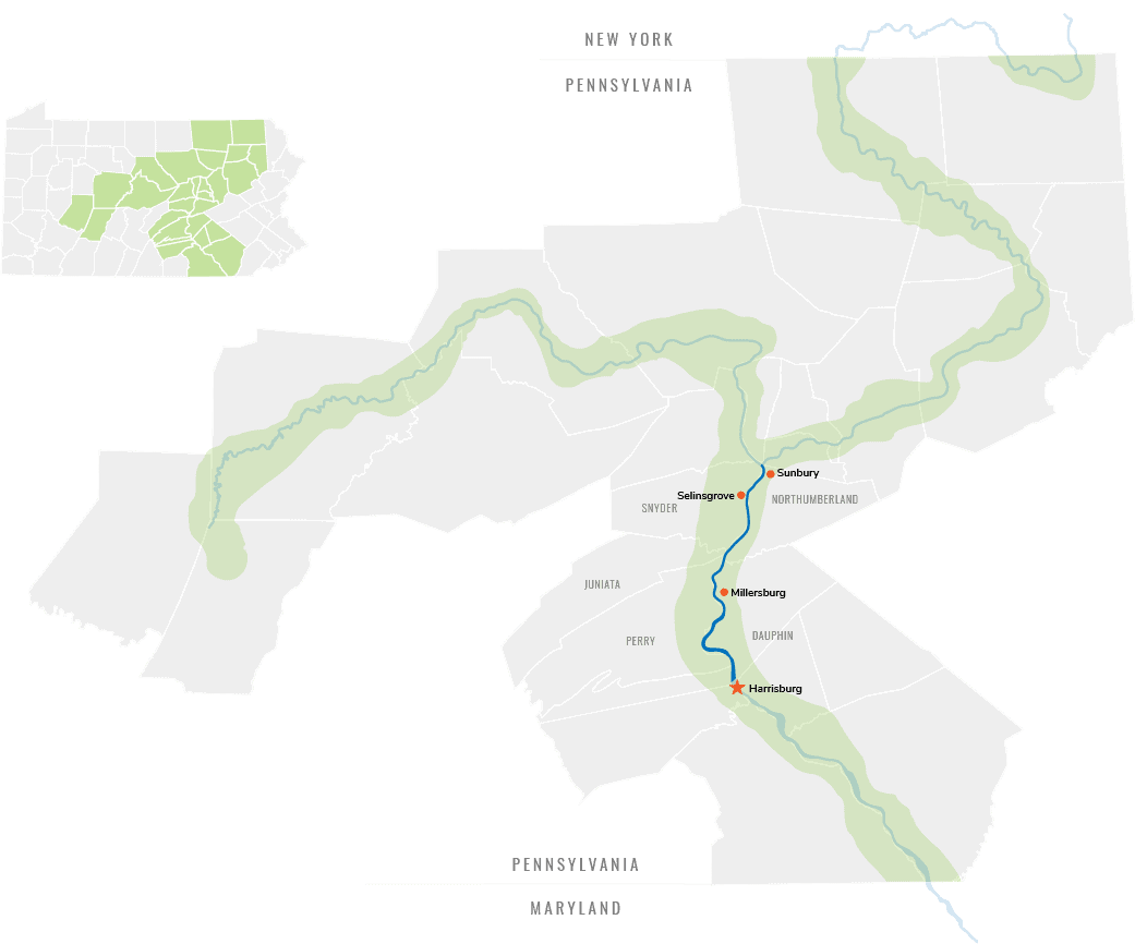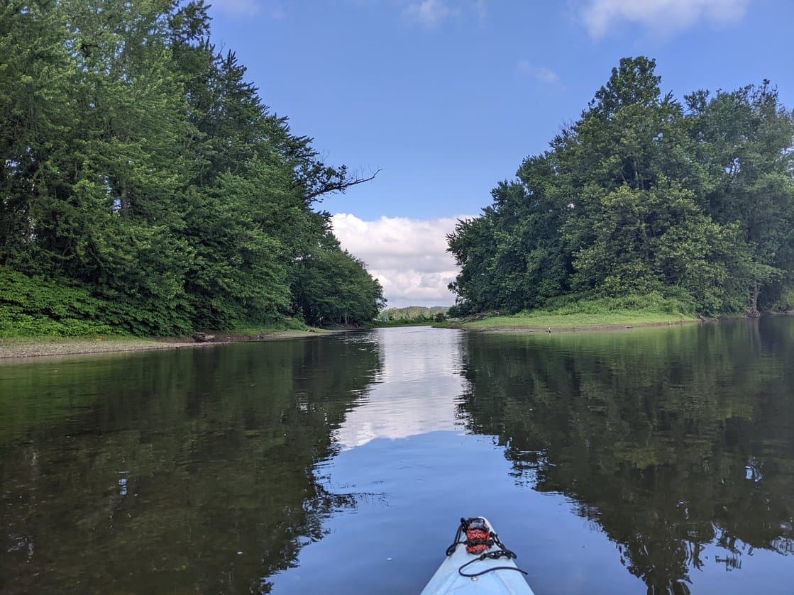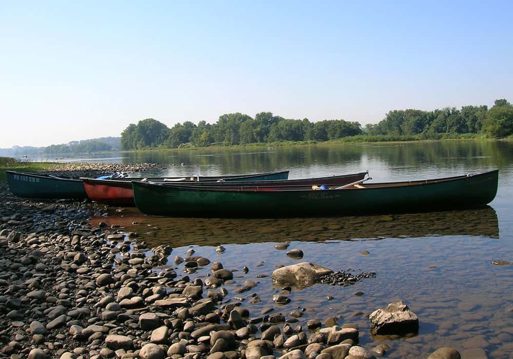
The Susquehanna River Water Trail is a 54-mile trail between Sunbury and Harrisburg that includes 20 publicly owned islands providing opportunities for primitive camping and day use by paddlers and other boaters.
There are three dams along this trail corridor—Harrisburg, Hummels Wharf, and the fabridam at Sunbury. All are potentially hazardous; the Harrisburg dam has a deadly hydraulic that has claimed many lives. Please be sure to map your route before going out to paddle to identify hazards such as these and safe ways around them (portage routes).
Designations & State-Recognized Landscapes
Explore Itineraries on the Map or with the Tiles Below
Middle Section Paddling Itineraries
Water Trail Manager

Middle Section Water Trail
Susquehanna River Trail Association (SRTA)
P.O. Box 62023
Harrisburg, PA 17106
www.susquehannarivertrail.org


