
At a Glance
This paddling route begins at the Riverside Municipal Access in Riverside and quietly runs along scenic forest and farmland before taking you into seasonal Lake Augusta and, finally, to Shikellamy State Park. This mid-level route is great for anyone looking for activities to do in nearby Danville before their excursion or at the State Park Marina when they finish their day paddle.
Description:
Begin by arriving at the put in at Riverside Municipal Access in Riverside, PA. This is a carry-in boat launch with 15-minute parking between the blue signs at the intersection of D&H Avenue and Avenue E. You may unload your boats here and then park in the designated parking pull-off along Avenue E.
The nearby Susquehanna Greenway River Town of Danville is conveniently located across the river and gives travelers access to grocery, lodging, and dining. Spend some time before your paddle exploring the historic district, checking out Danville Riverfront Park, or hiking the J. Manley Robbins Trail, the first ever rail-trail in the United States.
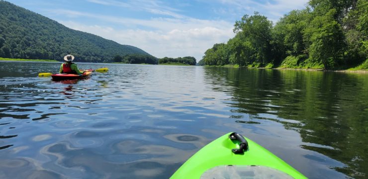
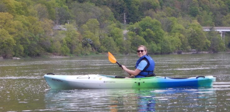
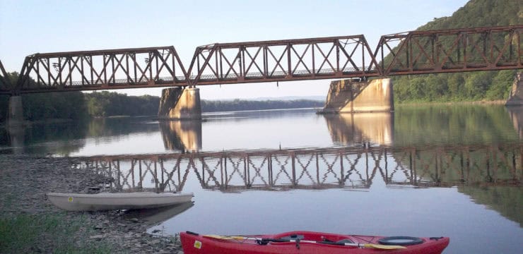
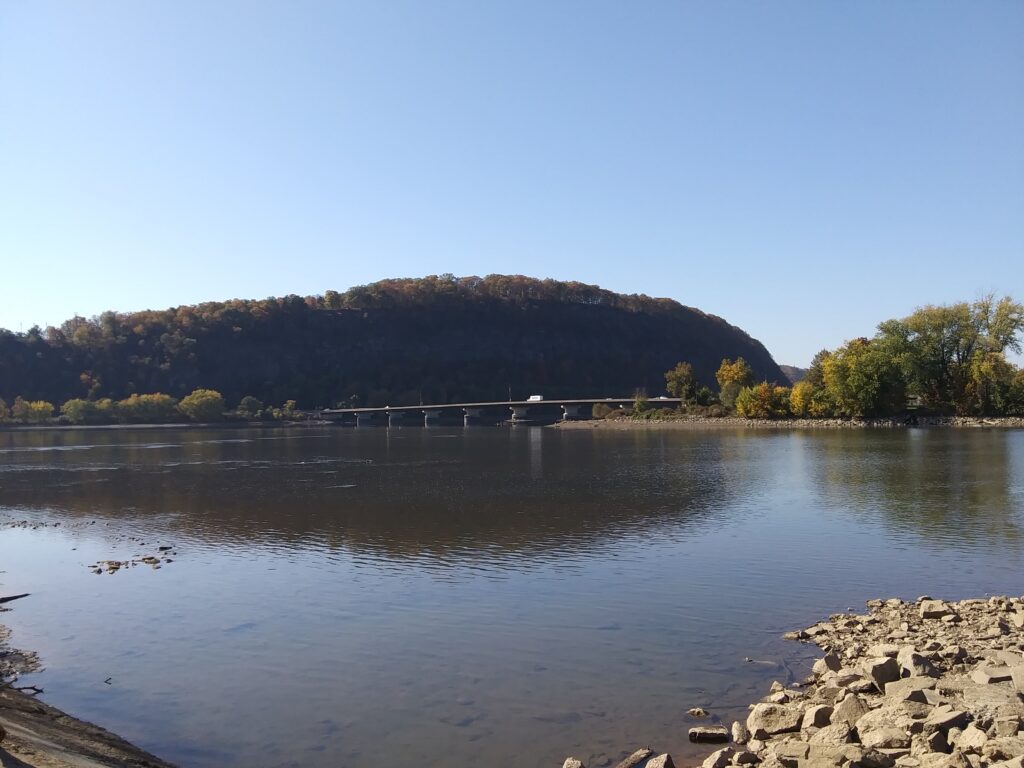
The concrete area of the put in goes about halfway down. Be careful of mud and slippery conditions as you place your kayak or canoe in the water. As you paddle out into the river, the access places you directly downriver from the Danville Eel Weir—a V-shaped stone structured used by Native Americans and early settlers to catch eel. Continue paddling past the rest of the borough of Riverside and enjoy views of scenic farmland on river left. Around river mile 133, watch for ledges as you approach two long river islands. Paddle river right to avoid islands and stones.
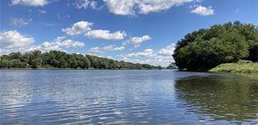
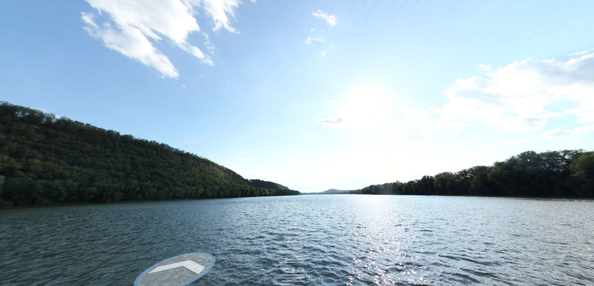
Enjoy a peaceful section of relatively straight paddling until river mile 129.9. Here, the water level increases as you approach seasonal Lake Augusta, formed by the inflation of the Adam T. Bower Memorial Dam in Sunbury downriver. The water level gets a bit lower at river mile 127, so be careful of stones as you approach Packers Island. Keep right when you get to where the river splits around the island at river mile 126.6. Watch for increasing motorized boat traffic as you paddle the last section.

Photo Courtesy of Terrain360.
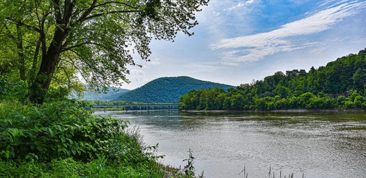
You might catch a glimpse of planes taking off or landing as you pass the Sunbury Airport on river left, the first half of Packers Island. The southern half of Packers Island consists of the Marina section of Shikellamy State Park. Located in both Union and Northumberland Counties, Shikellamy State Park boasts walking/biking trails, seasonal docks for motorized boats, picnic areas, a research center for environmental studies, and a scenic overlook on the west side in the Borough of Northumberland. The park is noted for being the area where the North and West Branches of the Susquehanna River meet.
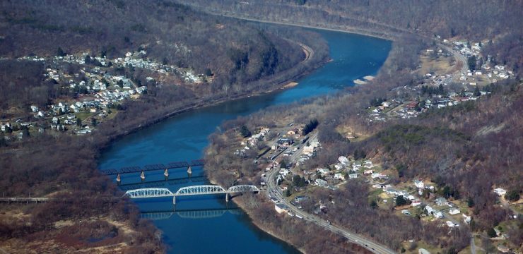
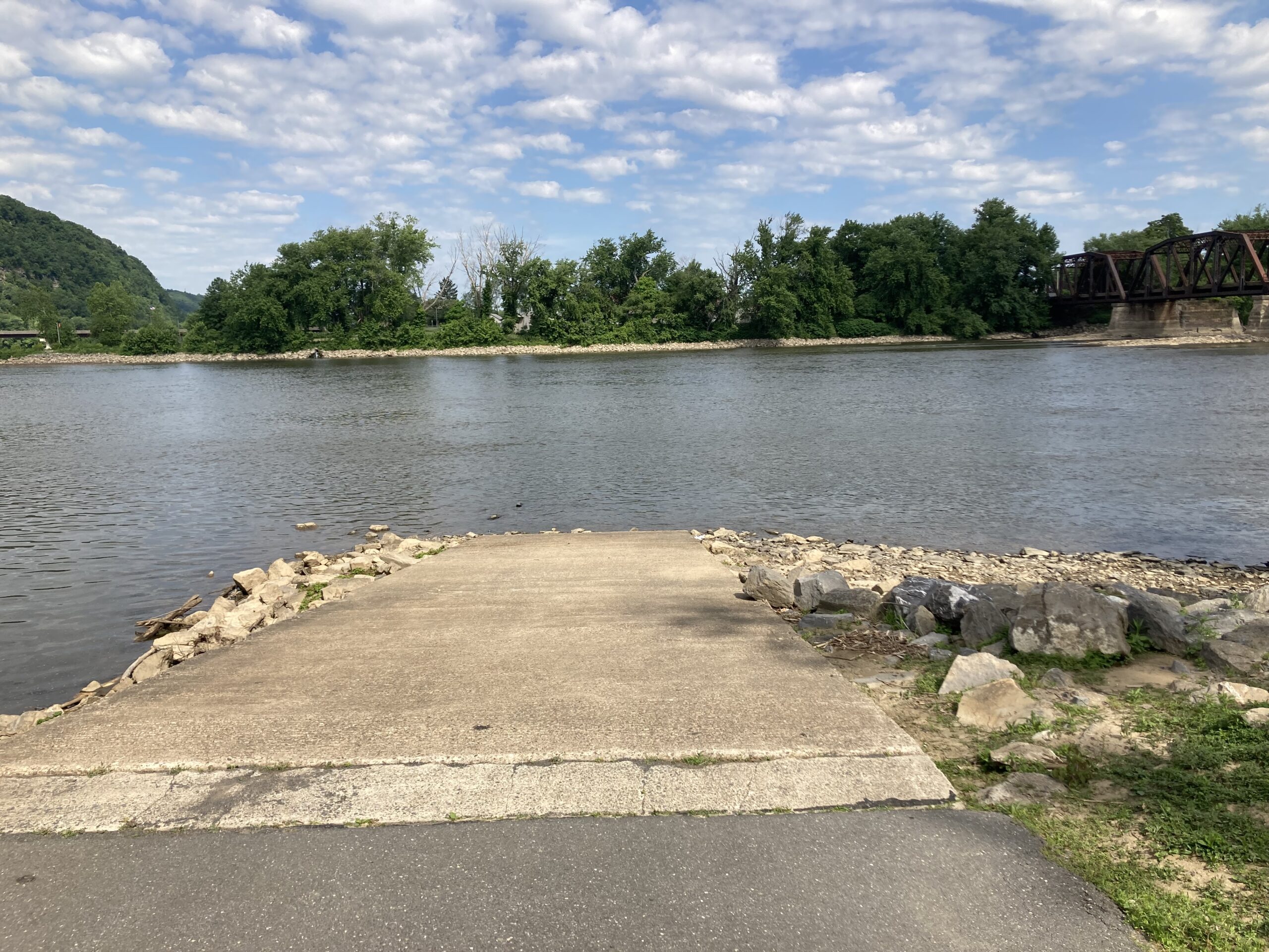
The last ½ mile will take paddlers underneath both the Rt 147 Bridge and the Penn Central Railroad Bridge. Paddle just beyond the railroad bridge and Shikellamy State Park North Access is on river left. This take out is primarily for kayaks and canoes but stay cautious as you approach for motorboats traveling close to the island. A state launch permit is required to take out at this access.
Amenities
Riverside Municipal Access has timed parking, access to nearby Danville and Riverside boroughs. Shikellamy State Park North Access is near picnic, parking, restrooms, trails, boat docks, and access to nearby Sunbury and Northumberland.
Put In
River Mile 135.3, Riverside Borough Access
Take Out
River Mile 125.1, Shikellamy State Park North Access
This route corresponds with Sections 13 & 14 of the Susquehanna River Water Trail – North Branch Map & Guide, a waterproof resource which provides additional details on amenities, point of interest, emergency contacts, and gage height.