At a Glance
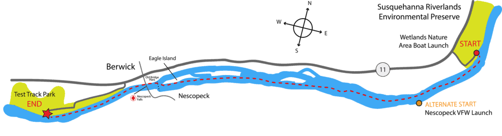
Explore the lower North Branch of the Susquehanna River Water Trail on this park to park paddling route. Beginning in the Susquehanna Riverlands Environmental Preserve, paddlers will meander past several river islands and end at an iconic and historic park in Berwick. Due to the presence of Nescopeck Falls (one of the only rapids on the North Branch), this route is suggested for more experienced paddlers.
Description
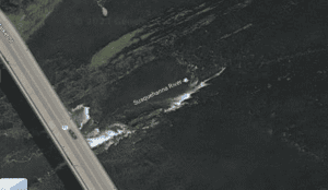
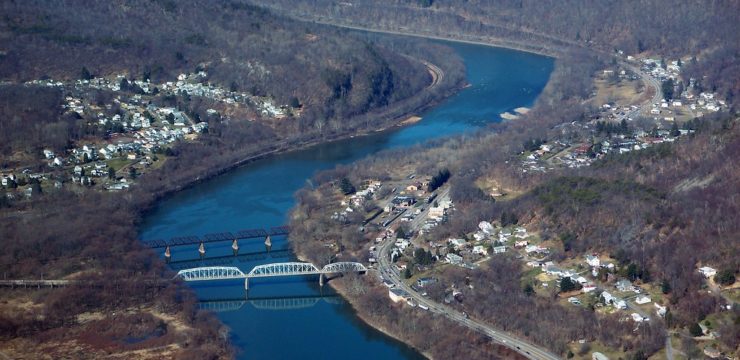
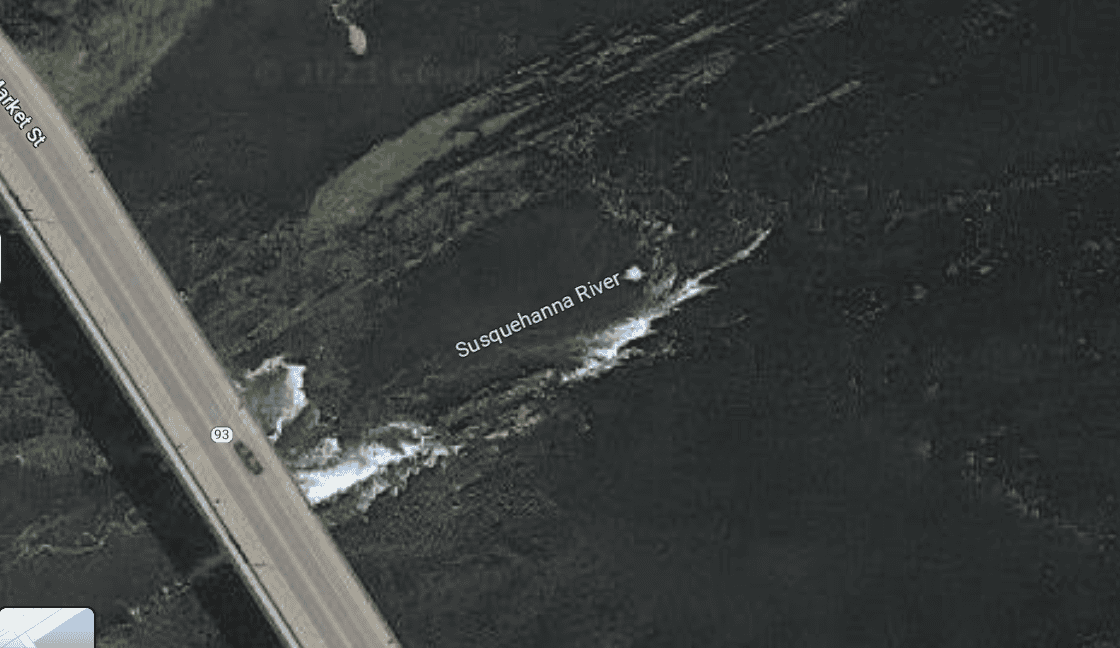
Nescopeck Falls from above (Google Maps)
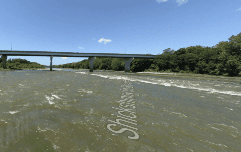
*Please consider water levels before paddling this section of river. If it is too low, Nescopeck Falls becomes ‘very hazardous’. The river gage at Bloomsburg should read 2 feet or higher to paddle this route.*
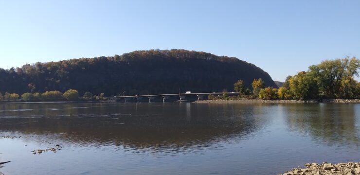
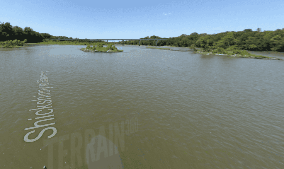
Launch from the Wetlands Nature Area and Access, and head down stream. Around mile 2 of the paddle you will begin to see the first of the river islands. Stay mid-river to river left to access the most consistent water levels. Once Nescopeck Bridge comes into view, begin to hug the left side of the mid river islands, as you will need to move to river right once you pass the downriver point of Eagle Island to position yourself for the falls. You will know you need to initiate this move to river right when you see old bridge pier remnants crossing the river. Depending on water levels, the entrance to Nescopeck Falls will be at an angle near parallel to the shoreline (higher water levels). This means you may need to position your boat to enter the falls at an angle and then straighten out (heading toward the bridge) once you pass the primary wave. In lower water levels, try to enter the rapid head on vs. at an angle to avoid the hazardous rock formations. There are no further hazards from the Nescopeck Bridge to Test Track Park.
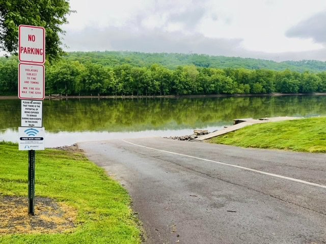
The ending location of this paddle will be on river right as you pass Test Track Park. During the primary boating season (May – September) look for the floating dock at the entrance to the access. Outside of the traditional boating season, the paved boat launch will mark the ending location.
Test Track Park has a unique history as it was ACF factory test area for tanks during World War 2. Later, it was also used as a road race course. Today, the park is a great area for families to ride bikes, take a walk, go fishing, or have a picnic.

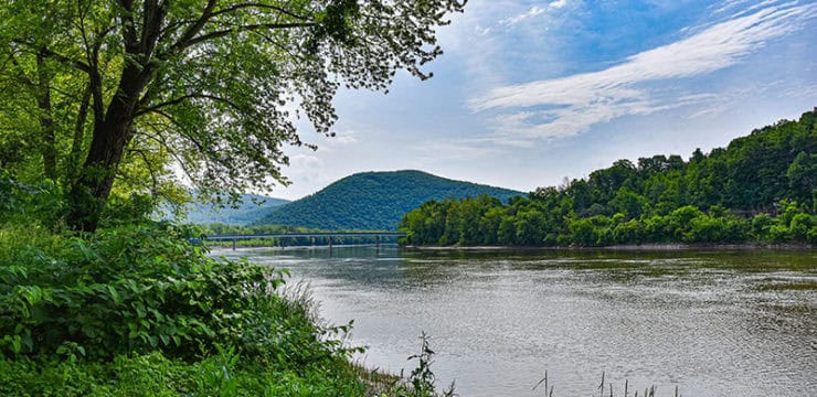
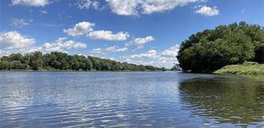
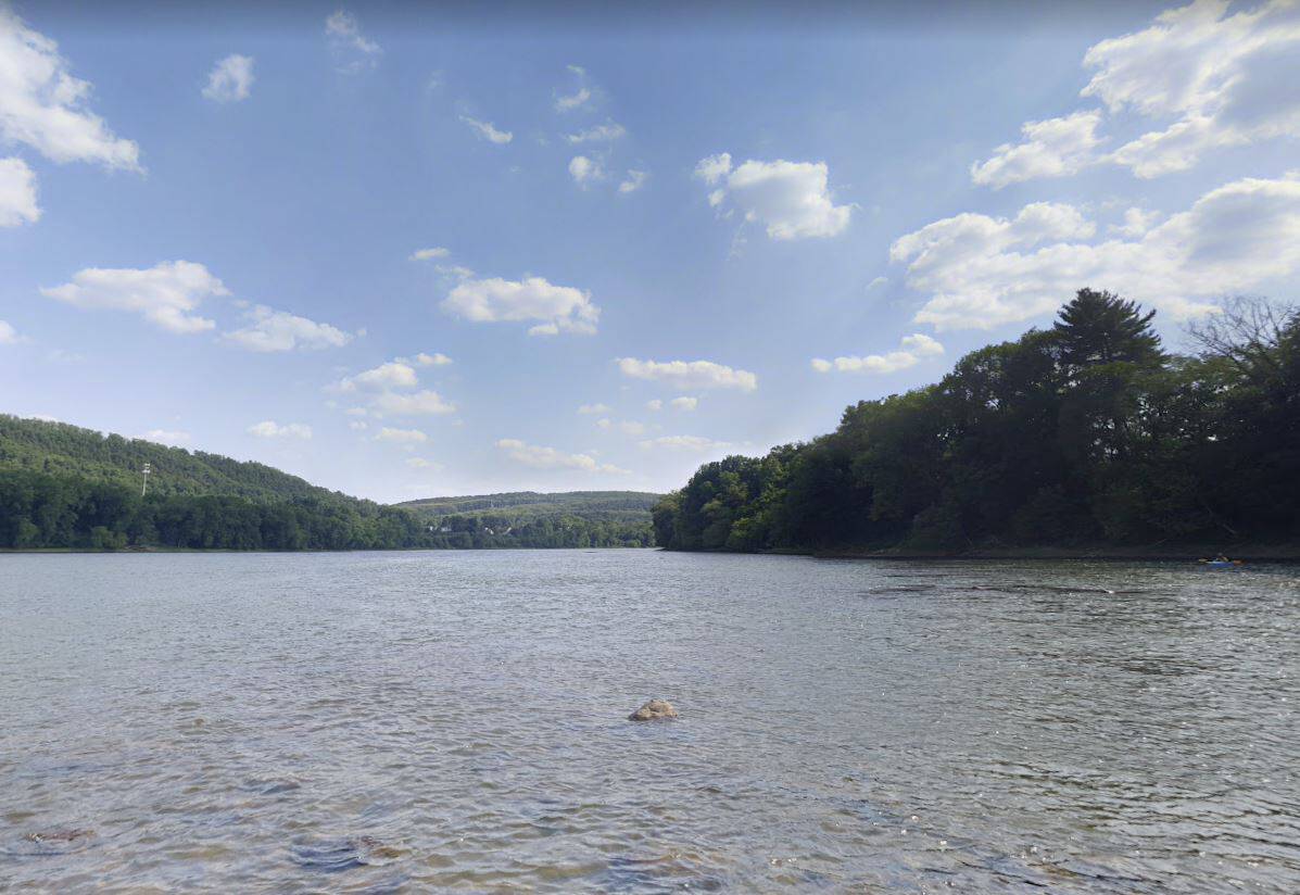
Susquehanna River near Wetlands (Image from Google Maps)
Alternate Route
For a slightly shorter route, consider putting in at Nescopeck VFW launch. This will shave around a mile off of the paddle.
Amenities
At the put-in at the Wetlands Nature Area Access there are no amenities beyond a picnic area. Amenities can be accessed in the adjacent Riverlands Environmental Preserve. At the take-out at Test Track Park, seasonal restrooms are available just down the from the boat launch. There is also a covered picnic area adjacent to the launch. The launch is paved and can accommodate a vehicular drop/off or pick/up of boats.
Put In
River Mile 166; Wetlands Nature Area Access within the Susquehanna Riverlands Environmental Preserve. Hand carry launch.
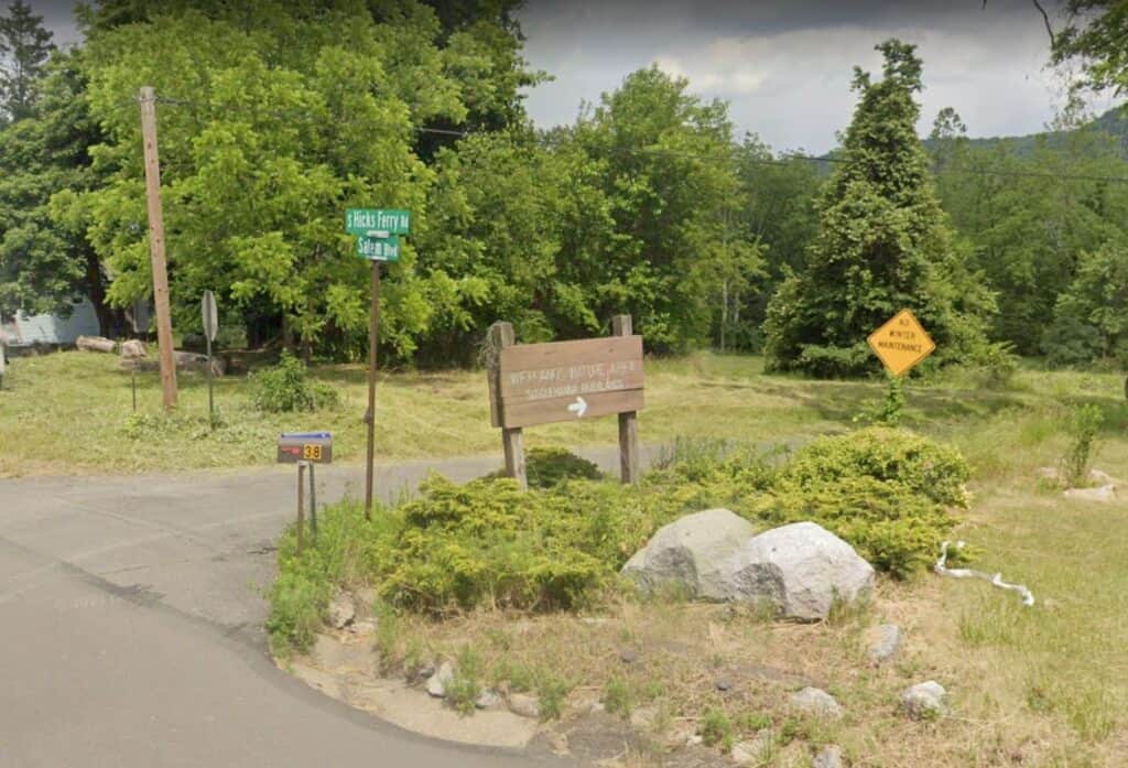
Wetlands launch entrance from Salem Blvd
Take Out
River Mile 158; Test Track Park Municipal Access, Paved Launch
This route corresponds with Section 11 of the Susquehanna River Water Trail – North Branch Map & Guide, a waterproof resource which provides additional details on amenities, point of interest, emergency contacts, and gage height.