
At A Glance
A pedal-paddle can be a fun day of biking and paddling through the Susquehanna Greenway in one day but requires a little bit of logistical coordination. If you have a partner for this trip, leave one vehicle at Falmouth with your canoe or kayaks and begin your journey at Riverfront Park in East Donegal Township. Ride your bike to Falmouth, leave the bikes, and begin your paddle back down to Riverfront Park. To do this pedal-paddle adventure solo requires special equipment in the form of a canoe or kayak trailer you can pull behind your bike and a canoe big enough to carry your bike with you in the boat back down to Riverfront Park. If you prefer to paddle first and pedal second, paddle from Falmouth to Riverfront Park and ride back to Falmouth.
Description
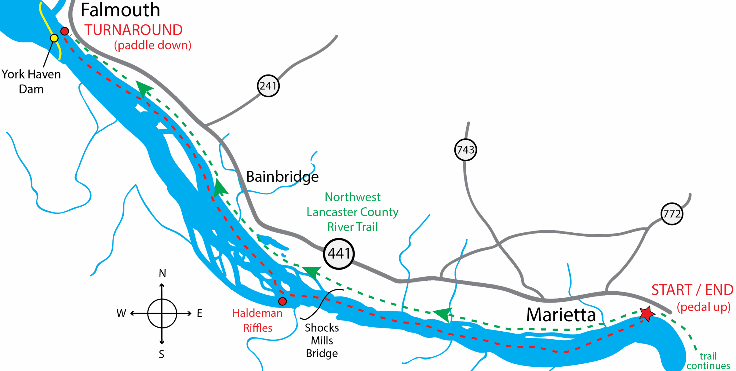
The Northwest Lancaster County River Trail is a 14-mile, multi-use, public recreation trail that meanders along the banks of the Lower Branch of the Susquehanna River. The trail spans five municipalities, as well as land owned by the County of Lancaster and the Lancaster County Solid Waste Management Authority.
Along the trail, you will see relics of the historic Pennsylvania Mainline Canal towpath, which the trail follows, including abandoned canal locks, iron furnaces, and an old quarry at Billmeyer.
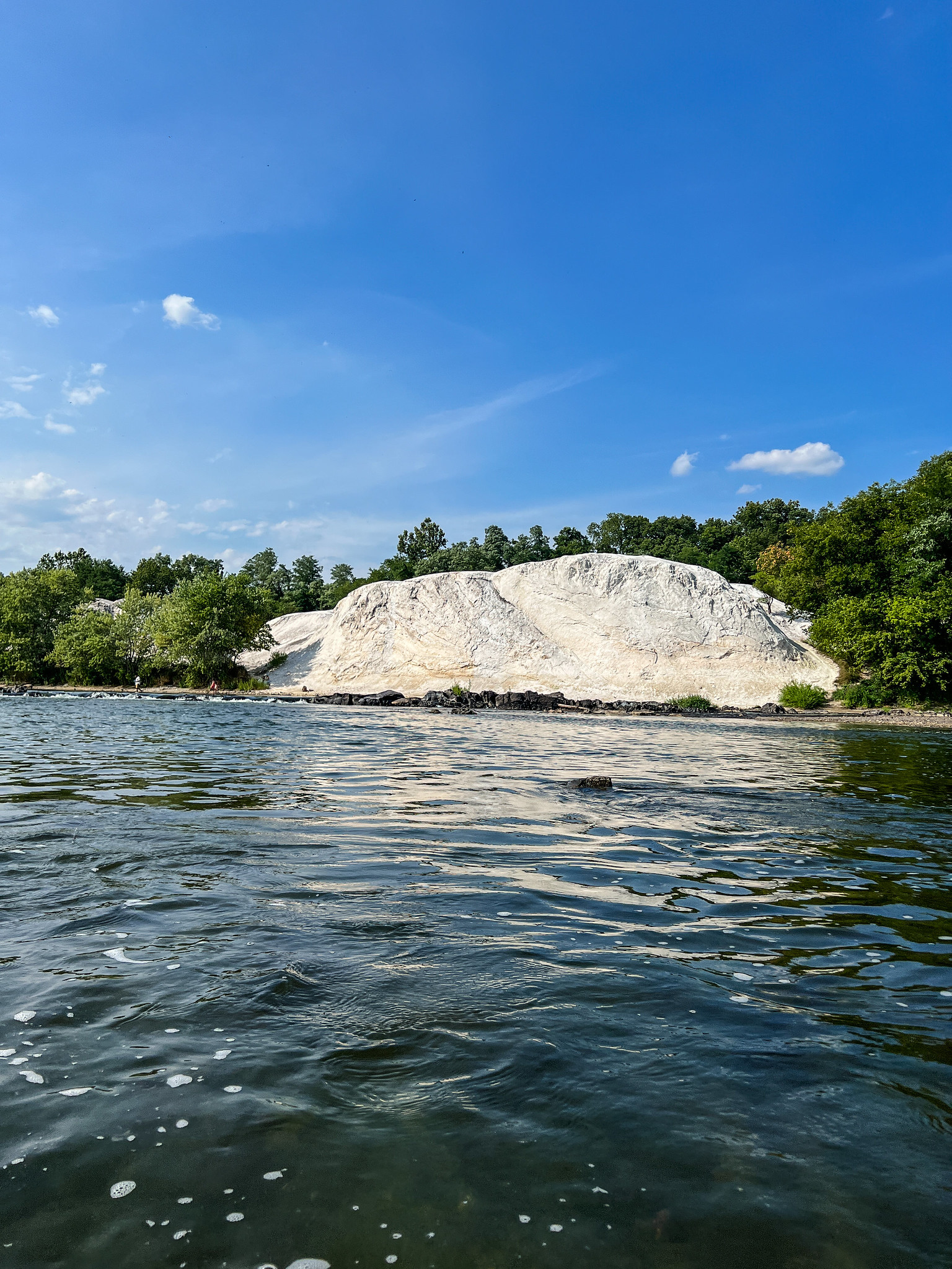
You’ll start your journey at Riverfront Park in East Donegal Township near Marietta and ride North along the trail from here towards Falmouth. Enroute, you’ll see original stonework in the form of old bridges and locks. Also, nearby and just off the trail, are the White Cliffs of Conoy, a limestone deposit and popular overlook with views of the Susquehanna River. The northern 3.75 miles of the trail between Falmouth and Bainbridge is known locally as the Conoy Canal Trail. It runs along the Conewago Canal, part of the original Mainline Canal, that was built to bypass Conewago Falls on the Susquehanna River.
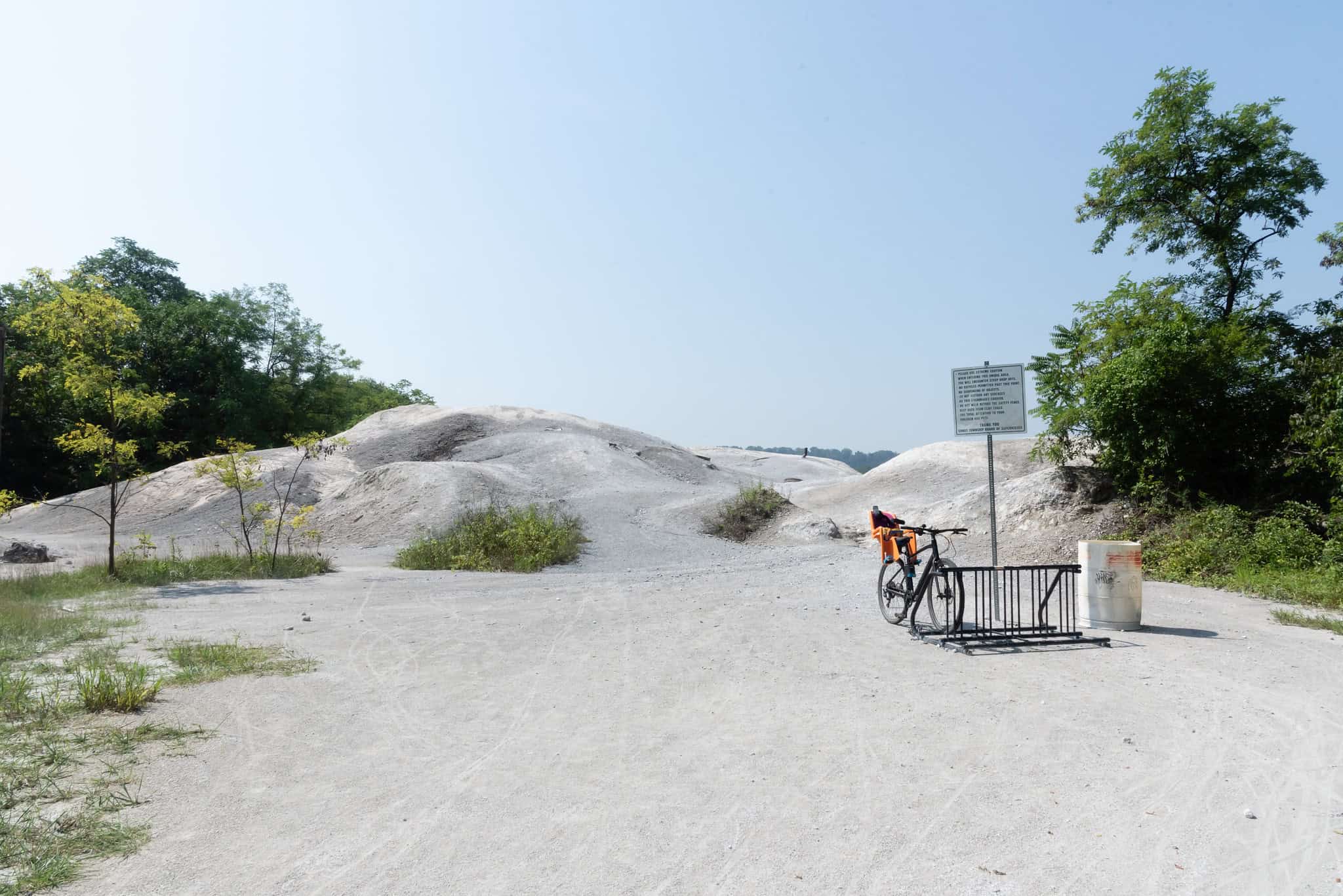
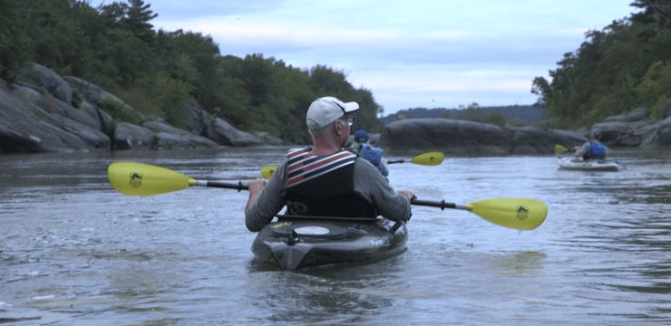
Photo by Mark Kissinger
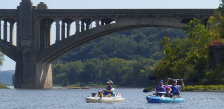
The PFBC Falmouth Boat access area is located near the trailhead for the Northwest Lancaster County River Trail. Located just downstream of Three-Mile Island, the paddling portion of your trip begins here.
After launching at Falmouth, you will see the York Haven Dam (Lake Frederick) on your right, as well as the Conewago Falls behind you. It won’t be long before you encounter your first river island as Haldeman Island near Bainbridge approaches. Keep river left as you pass the island. A notable landmark to keep an eye out for are the White Cliffs of Conoy. These cliffs are the product of years of operation on a limestone quarry opened by John Haldeman in 1846. The cliffs are a stunning sight to see on the river and in-person.
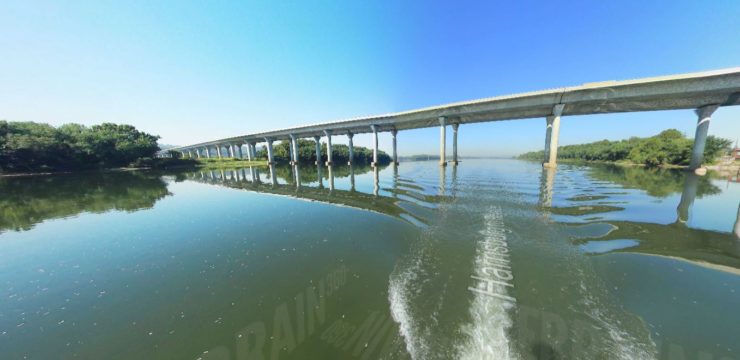
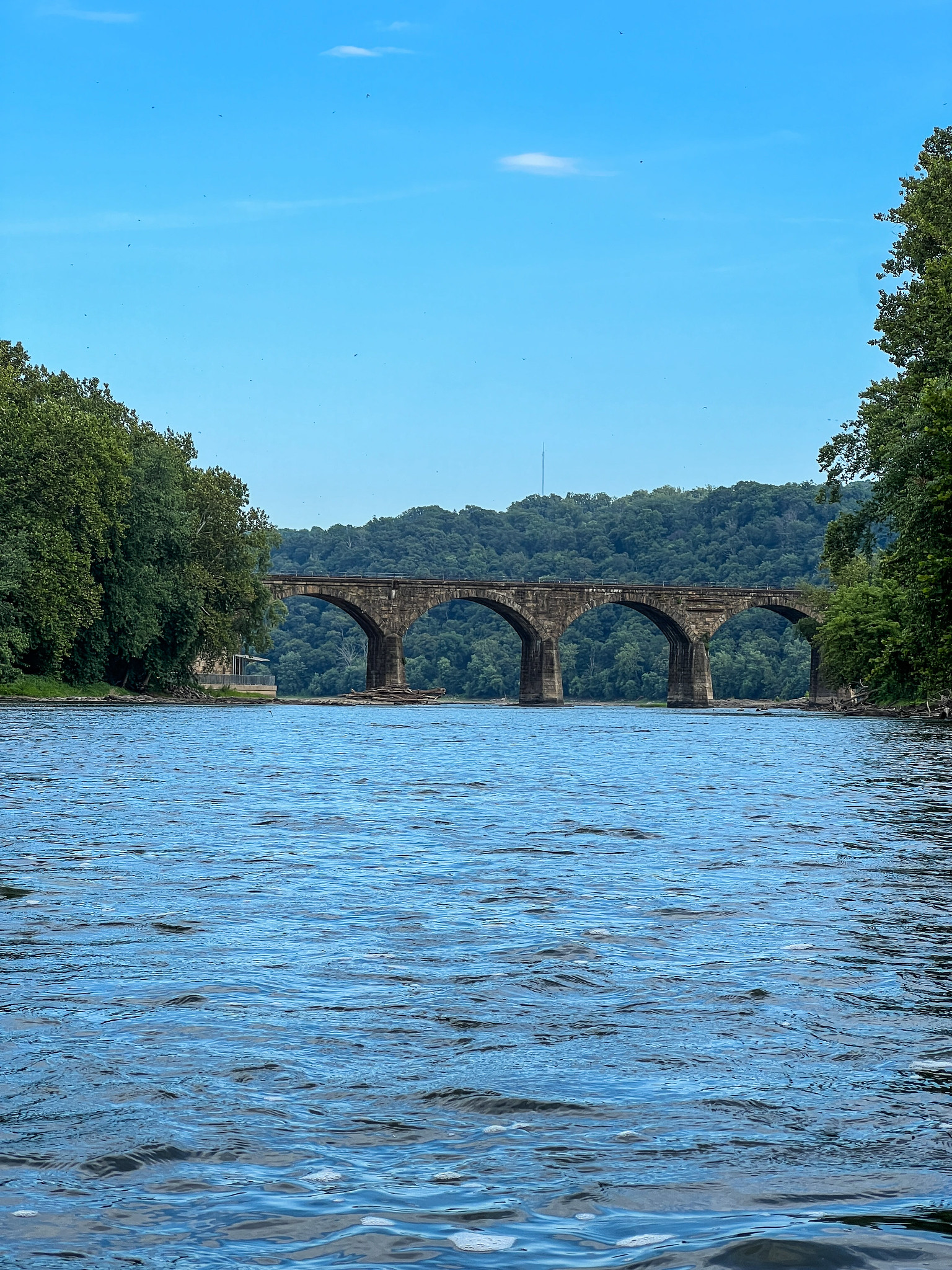
As you approach Ely Island and Pole Island, run the river center to avoid some stronger riffles (Haldeman Riffles) caused by partially submerged rocks. After passing under the Shocks Mills railroad bridge spanning the length of the river, continue onward to Riverfront Park on river left.

Map Courtesy of susquehannariverlands.com
Amenities
East Donegal Riverfront Park boasts a large pavilion with picnic tables, playground, riverfront views, and ample grounds for outdoor activity. Riverfront Park is an access point for the Northwest Lancaster County River Trail. The PFBC Falmouth boat launch has a boat ramp, parking, restrooms, and picnic facilities. Please note that the use of this boat launch requires a PA state launch permit.
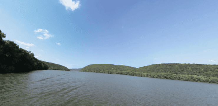
Start
River Mile 49: East Donegal Township Riverfront Park Access
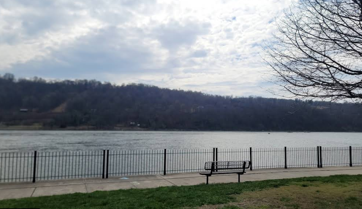
Photo by Rommel Baluyot courtesy of Google Maps
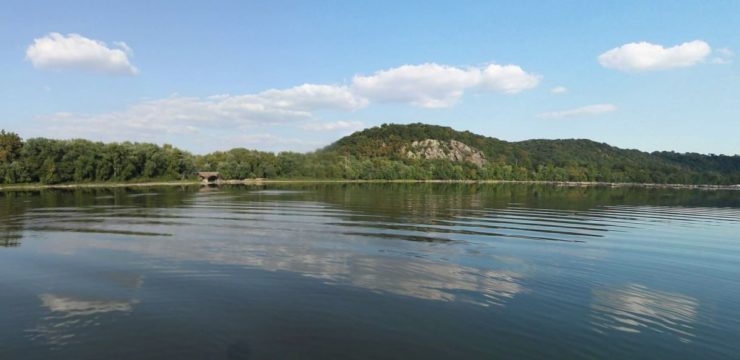
Put In
River Mile 56.2: PFBC Falmouth Boat Access
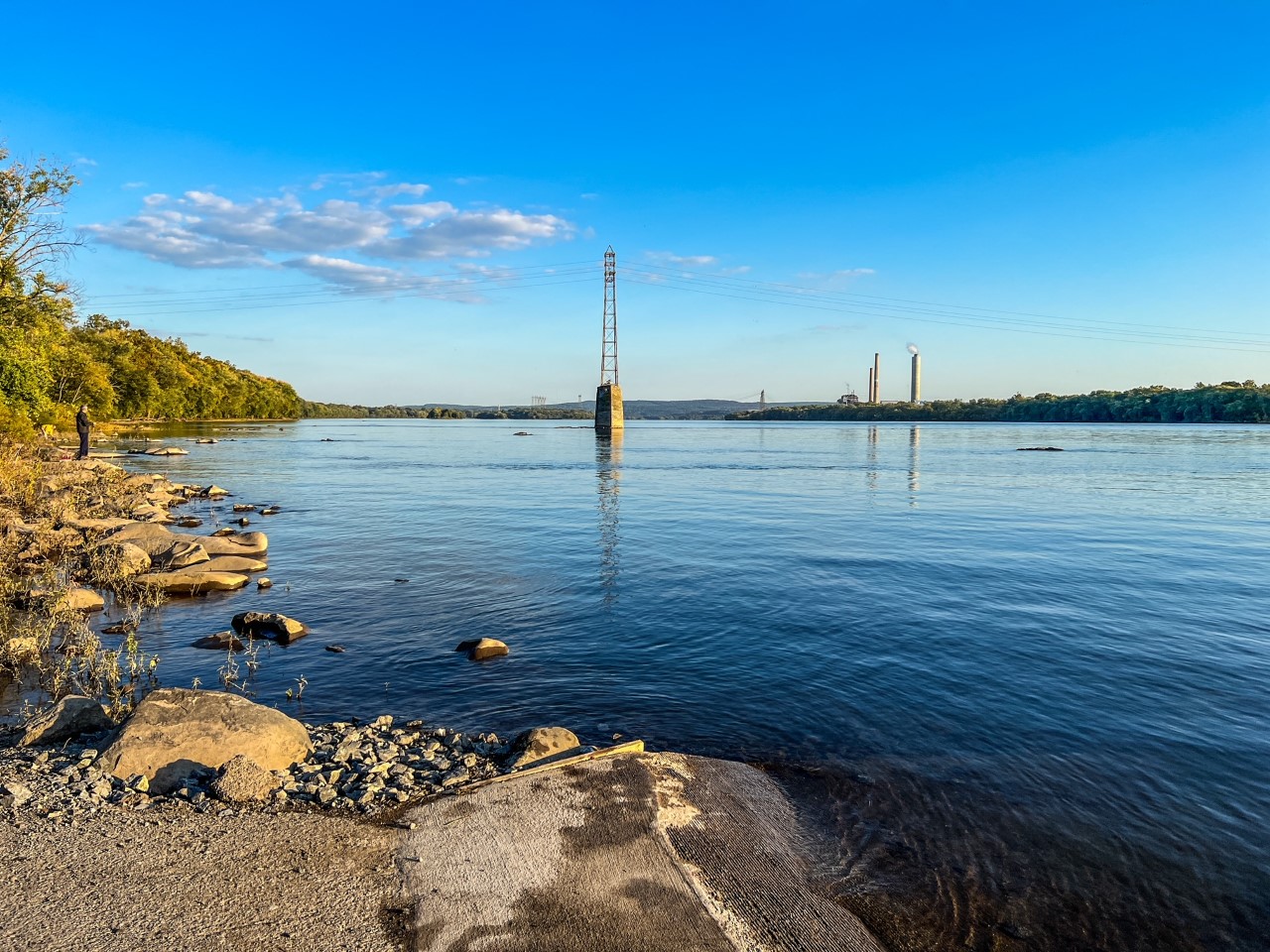
Photo by Dustin Underkoffler
Take Out
River Mile 49: East Donegal Township Riverfront Park Access
For Water Trail map, refer to: Susquehanna River Water Trail – Lower Section: Map 2