At A Glance
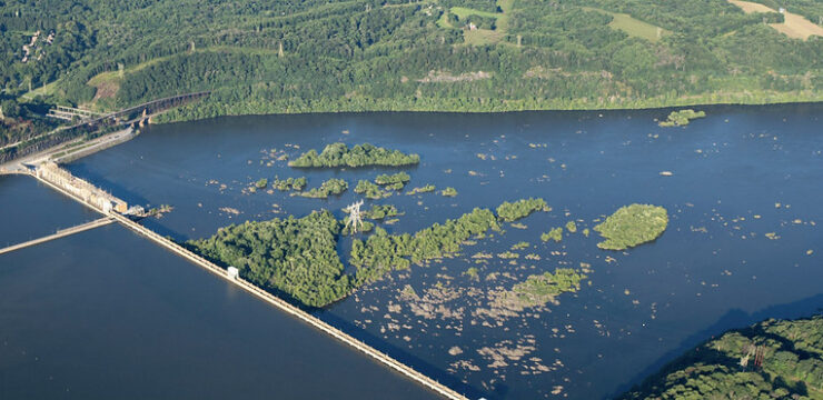
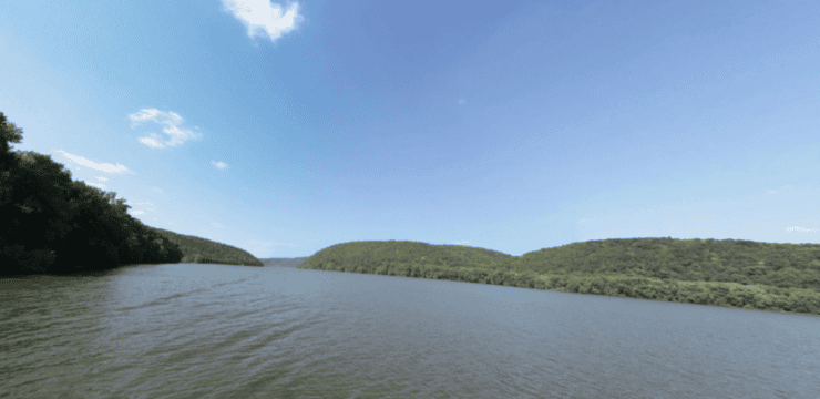
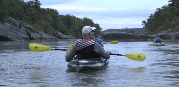
Explore an out-and-back paddle on the upper part of Conowingo Reservoir in Pennsylvania. This section of the Susquehanna River is much like a lake due to the backflow of the Conowingo Dam further south in Maryland. There are several access points in this section for alternate take-outs and put-ins should you need to take a break, stop for lunch, or shorten the route. As you paddle, you will also pass several state parks and sanctuaries including Mount Johnson Island, the world’s first Bald Eagle Sanctuary, which makes this route a great paddle for birders.

Description
Launch your boat at the Muddy Creek Access Area (River Mile 22.3). This PA Fish and Boat Launch has ample parking and picnic facilities; a launch permit is required. Paddle south along the shore and explore the Conowingo Reservoir. After 1.8 miles there is another access on river right, the Cold Cabin Park Access (River Mile 20.5). This canoe access also has parking and picnic facilities. Continue south to the Dorsey Park Access (River Mile 19.2). This access area has parking, restroom, and picnic facilities. The Mason Dixon Trail is accessible from this park. The 199-mile hiking trail connects the Appalachian Trail with the Brandywine Trail and follows the bank of the Susquehanna River for several miles.
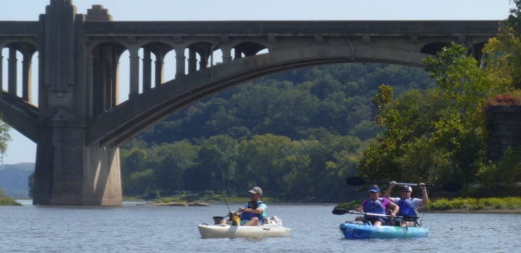
From the Dorsey Park Access, paddle directly across the river to the world’s first Bald Eagle sanctuary, Mount Johnson Island. Paddle around the island and hopefully see some eagles, then head upstream/north again along the shore towards Hawk Point. You will pass Fern Cliff Nature Preserve on the right and the village of Drumore, although neither of these are accessible from the river. Continue North to Hawk Point and Susquehannock State Park (also not accessible from the water). Just past Hawk Point you will see Wisslers Run Park. From here paddle back across the river between the islands to the Muddy Creek Access.
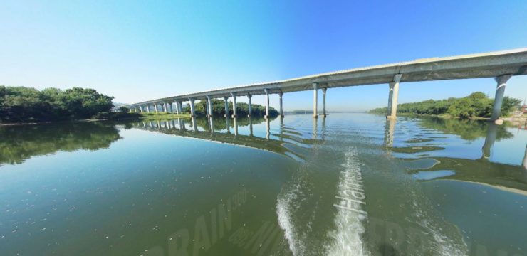
Go to Terrain 360 for neat video of the Susquehanna Water Trail (like Google Street View, but on the river!) and photos of launch areas.
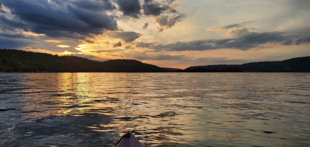
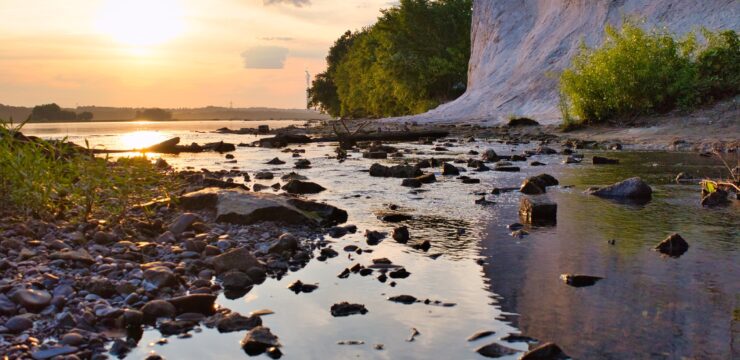
Photo by Allison Rippel
Amenities
The closest towns with restaurants and shopping are located about 25 miles north; Wrightsville and Columbia. Also nearby is York (28.5 miles NW) and Lancaster (21.5 miles NE).
Explore More
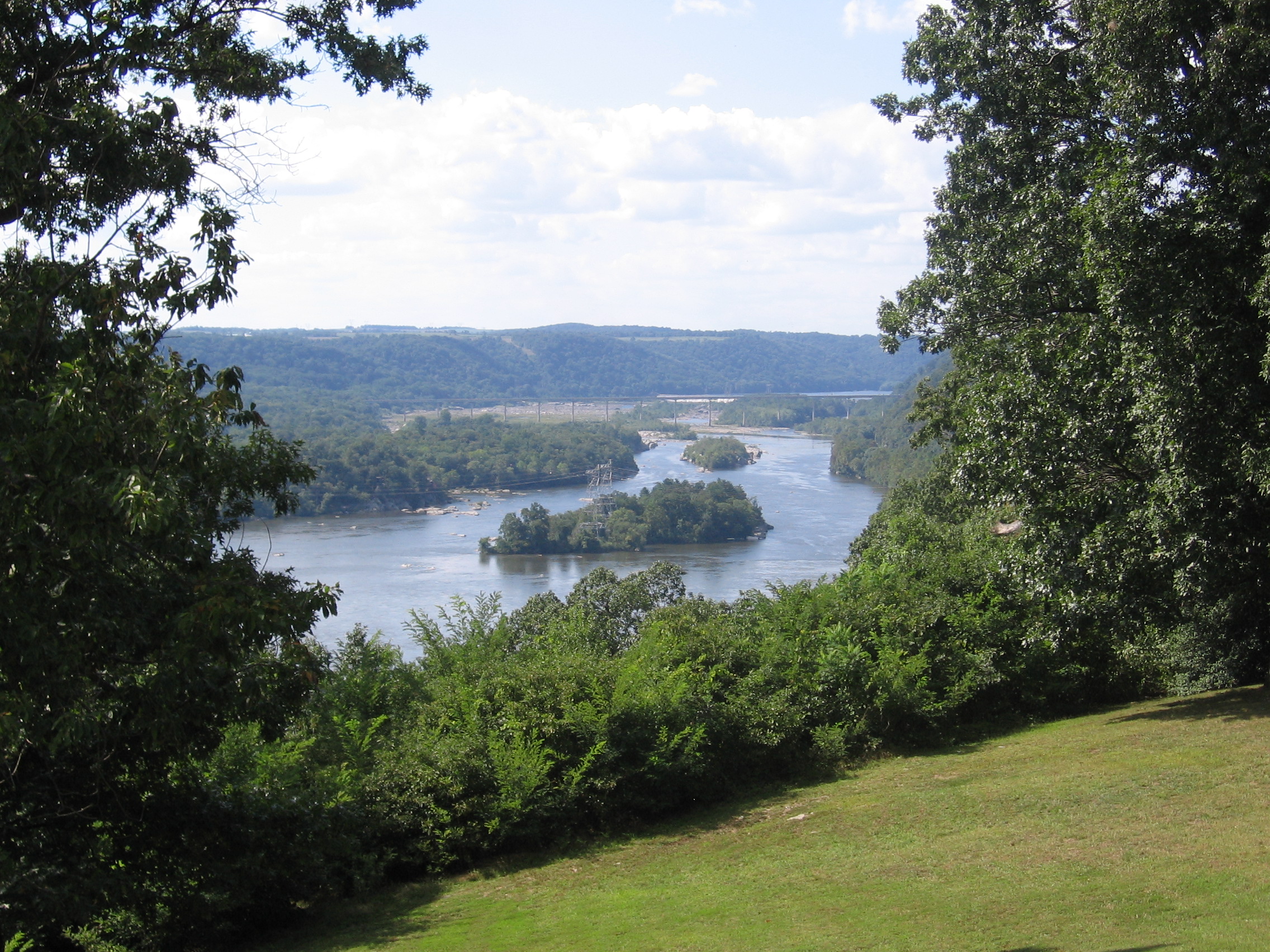
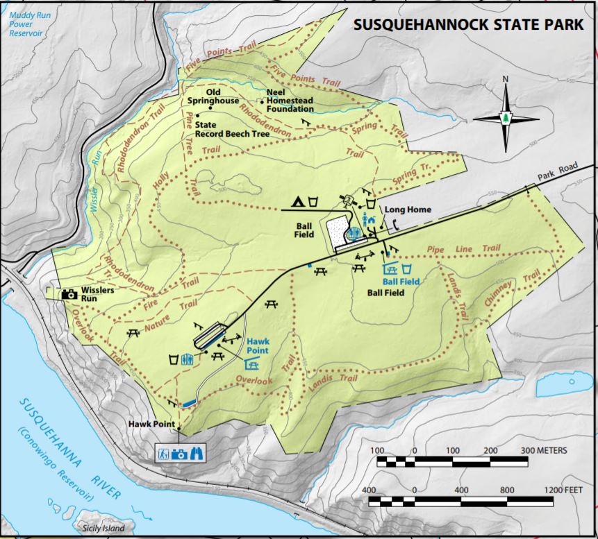
If you cross the river and drive east to Susquehannock State Park, you can park at the Hawk Point picnic area, and hike a nice loop on Overlook Trail to Wisslers Run overlook for a bird’s eye view of the paddle route. There is hiking at Fern Cliff Nature Preserve and the Mason Dixon Trail travels through “The Gorge” in this area. Lock 12 Recreation Area and Mill Creek Falls Trail are also nearby the Muddy Creek Access.
Put In / Take Out
River Mile 22.3: Muddy Creek Access Area (canoe launch, river right)
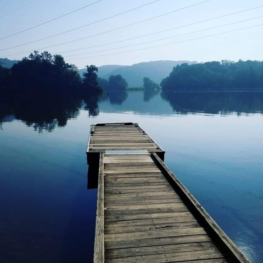
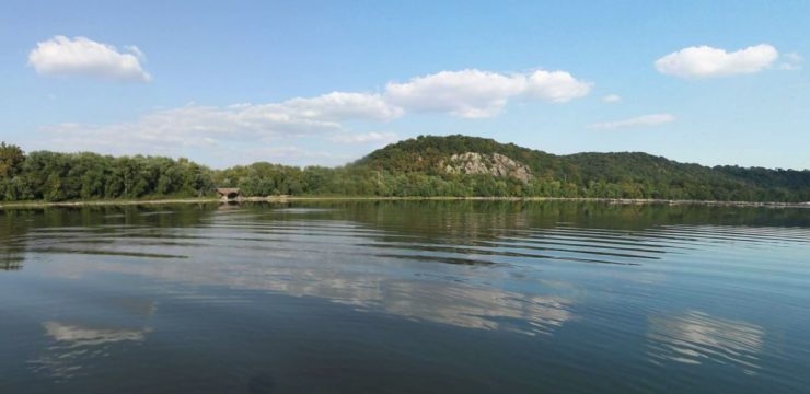
Photo by Amy Vedder
For Water Trail map, refer to: Susquehanna River Water Trail – Lower Section: Map 3