

At A Glance
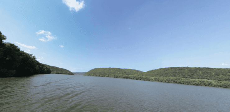
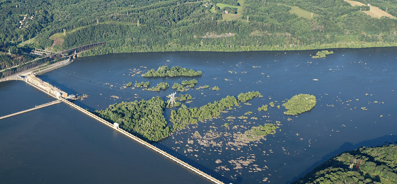
Experience one of Pennsylvania’s most remarkable archaeological treasures on a journey to the ancient petroglyphs of the Lower Susquehanna River. Launching from the confluence of the Conestoga and Susquehanna Rivers, paddlers can explore at their own pace while enjoying scenic views and the rich history of the river corridor, including Safe Harbor Dam and Shenk’s Ferry.
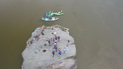
This is a relatively short paddle with minimal distance but rewards paddlers with access to one of the Lower Susquehanna’s most significant archaeological sites. Allowing extra time at Big Indian Rock is recommended, as the petroglyphs are the primary highlight of the trip and are best appreciated when river conditions permit close viewing.

Description
This out-and-back paddle begins at the Safe Harbor Kayak/Canoe Launch on the Conestoga River and travels approximately 1 mile each way (2 miles roundtrip) to Big Indian Rock in the Susquehanna River.
Most paddlers complete the trip in 2–3 hours, including time to explore the petroglyphs and enjoy the scenery.
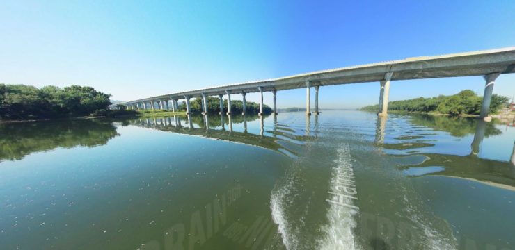
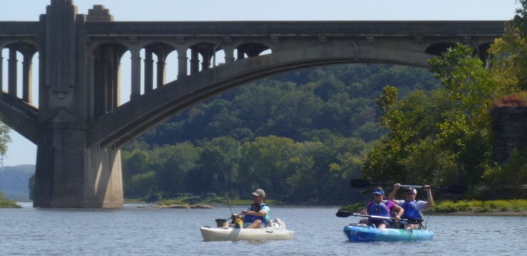
From the launch, paddle downstream on the calm waters of the Conestoga River for about 0.5 miles to its confluence with the Susquehanna River below Safe Harbor Trestle Bridge.
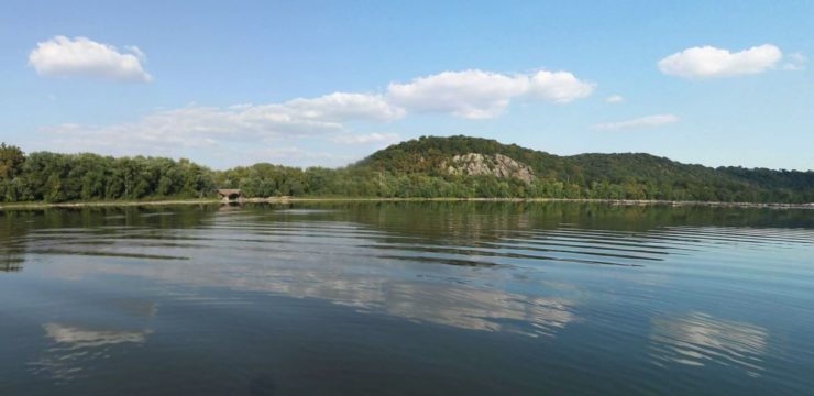
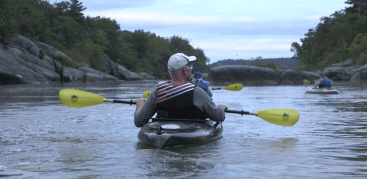
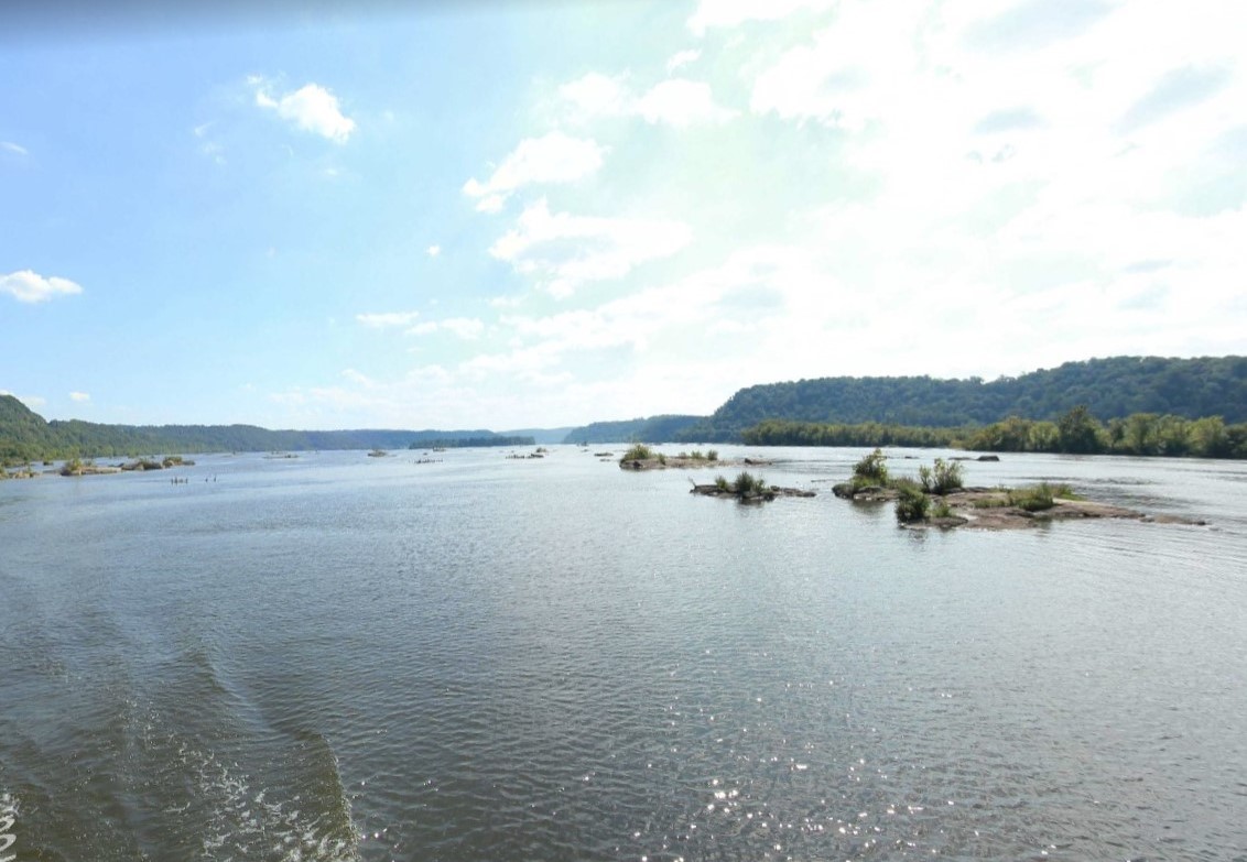
Once on the Susquehanna, continue south following the deeper water between exposed rock formations. Depending on river levels, some rocks may be visible while others remain just below the surface, requiring careful navigation. The route gradually narrows around several rock outcrops before reaching Big Indian Rock, located approximately one mile from the launch. Under normal conditions, most paddlers reach the site in 30 minutes or less.
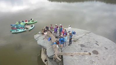
The visibility of the petroglyphs depends heavily on river levels. During lower water conditions, many carvings are exposed and easily viewed from the rock surface. Plan to spend 20–45 minutes exploring the area, photographing the carvings, and observing the surrounding river landscape.
After leaving Big Indian Rock, retrace your route north through the rock gardens and channels of the Susquehanna before re-entering the Conestoga River. The return paddle typically takes a similar amount of time, although headwinds on the open river can make the trip back slightly longer.
Petroglyph Etiquette
Big Indian Rock and its surrounding petroglyphs are fragile Native American cultural resources and should be treated with care and respect. Avoid walking directly on the carvings whenever possible and remove shoes if accessing exposed rock surfaces to minimize erosion. Never touch, trace, chalk, paint, or make rubbings of the petroglyphs, and avoid dragging kayaks or anchoring on the rock. Practice Leave No Trace principles to help preserve these centuries-old carvings for future visitors.
Amenities
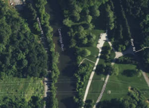
The Safe Harbor Kayak/Canoe Launch provides one of the most convenient access points to the Lower Susquehanna petroglyphs. Located within Conestoga River Park, the launch offers ample parking and easy access to the water.
Park amenities include picnic pavilions, playground, walking paths, fishing access, tennis courts, athletic fields, open green space
As part of the Susquehanna River Water Trail network, the park serves as a popular destination for paddling, fishing, birdwatching, and riverside recreation.
Put In & Take Out
Safe Harbor Kayak/Canoe Launch
101 Safe Harbor Rd, Conestoga, PA 17516
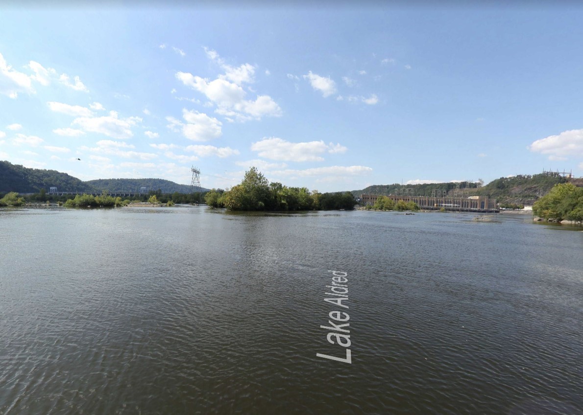
This launch provides direct access to the Conestoga River and a short paddle to the petroglyph sites. Big Indian Rock is located in the Susquehanna River, Lake Aldred, below Safe Harbor Dam, near the Lancaster–York County line.
Want to keep exploring? The Enola Low Grade Trail and Shenks Ferry Wildflower Preserve can expand your adventure on land. Find links to both resources below: