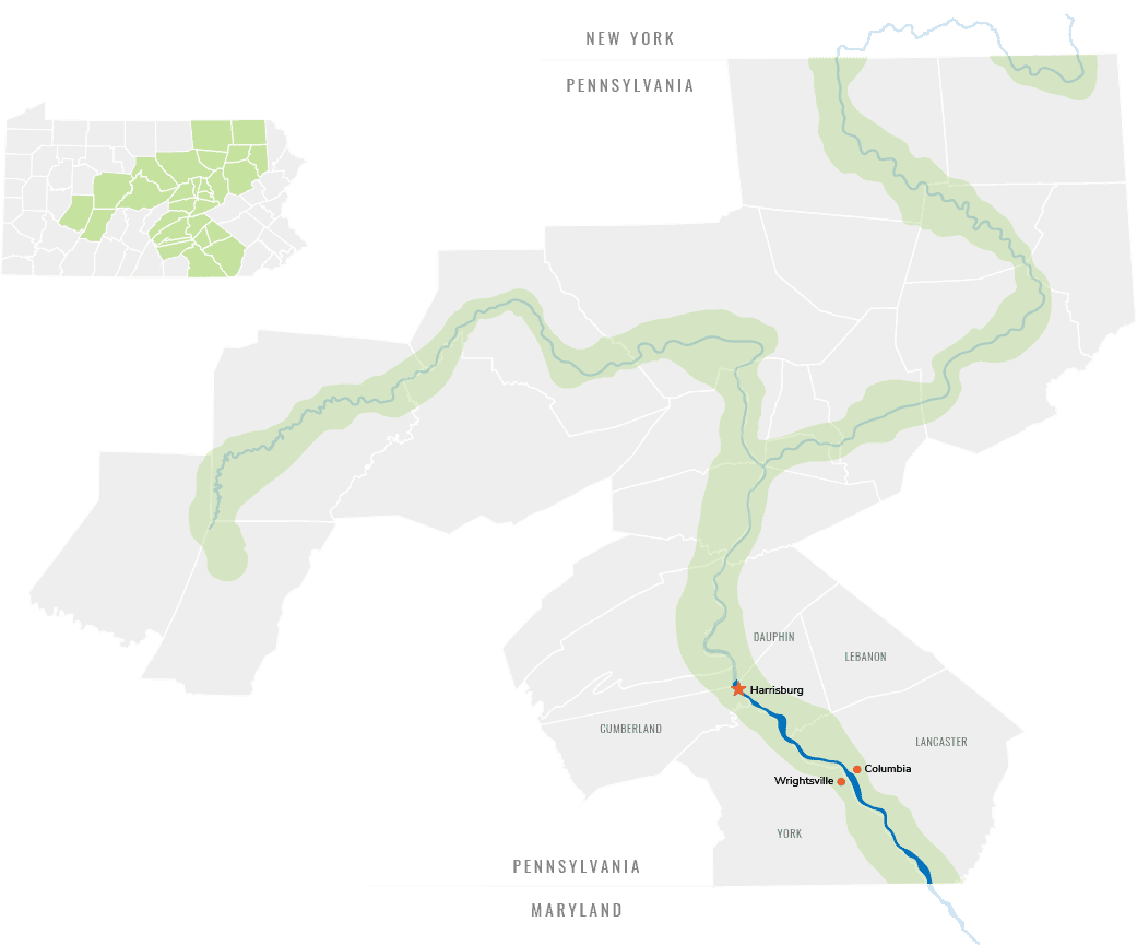
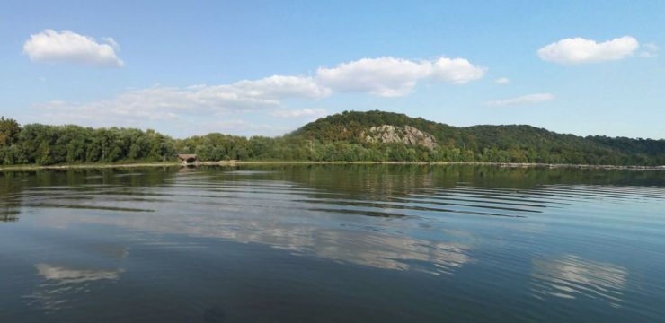
Running 53 miles from Harrisburg to the Mason-Dixon Line, the Lower Section passes through a tremendous diversity of natural and built environments, from industrial yards to bird habitat, including cutting through the heart of the Susquehanna Piedmont Gorge.
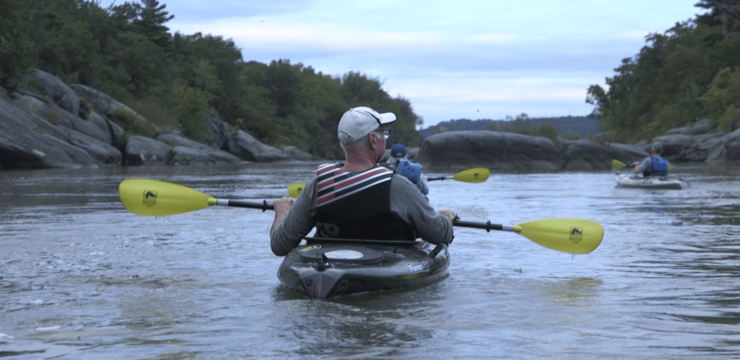
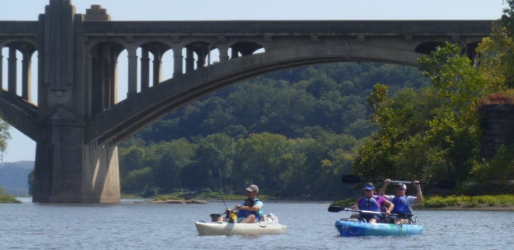
The river has a variety of unique geologic features including river potholes and deeps and important cultural resources including river rock art (petroglyphs). Much of the area is within the Susquehanna National Heritage Area, and it offers abundant outdoor recreation, and cultural exploration.
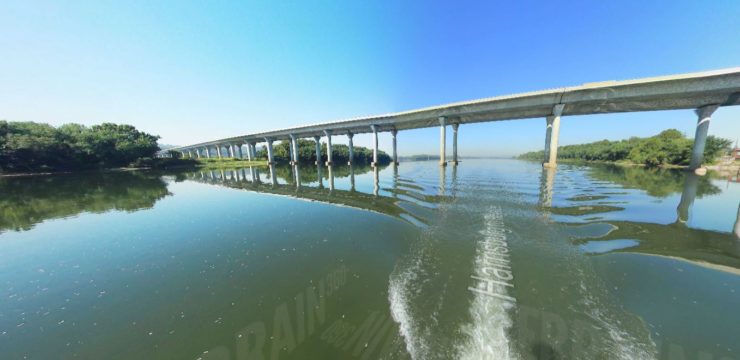
The water trail passes by a number of key power generation utility areas including four hydroelectric facilities, two nuclear power plants, a pumped-storage plant, and a steam-electric station. The three major dams to note for portages are the York Haven at RM-57, Safe Harbor at RM-32.3, and Holtwood Dam at RM-24.8. Paddlers are encouraged to contact the Susquehanna National Heritage Area prior to their trip to gather contact information for the dams and confirm their associated portage routes.
Designations & State-Recognized Landscapes
5 photos

Explore Itineraries on the Map or with the Tiles Below


Water Trail Manager
![]()
Lower Section Water Trail
Susquehanna National Heritage Area
1706 Long Level Road
Wrightsville, PA 17368
www.susqnha.org