At a Glance
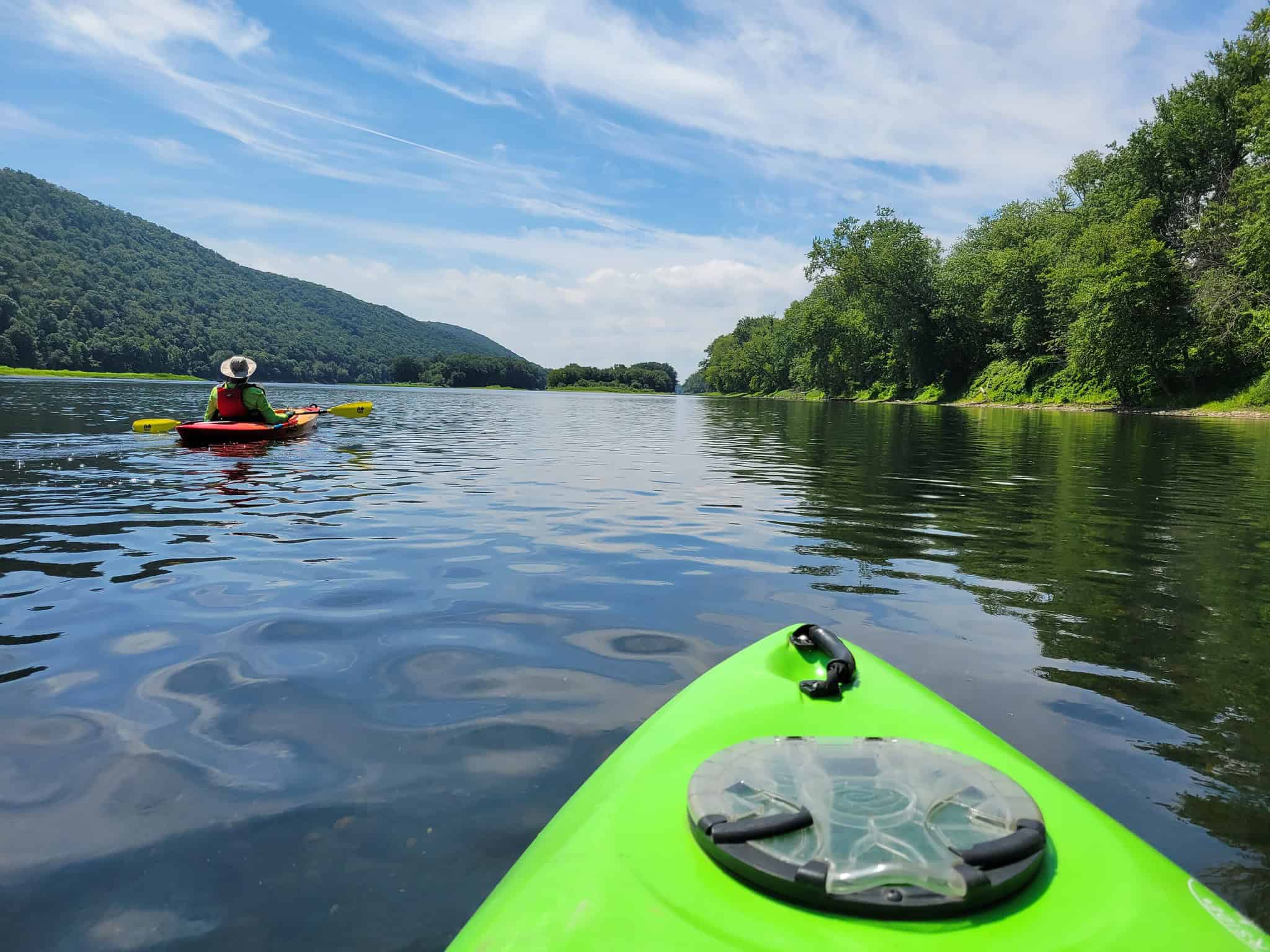
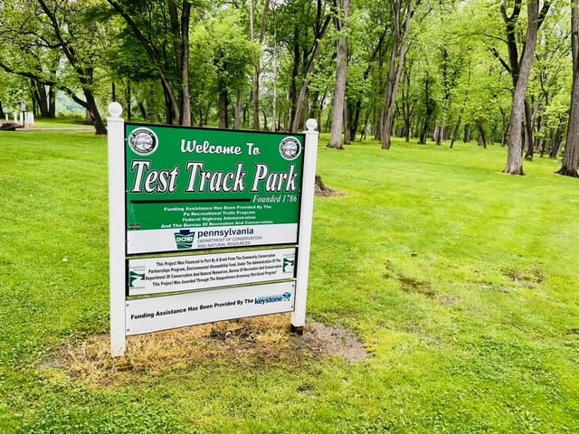
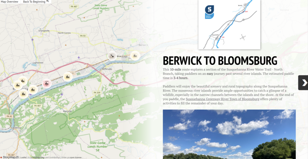
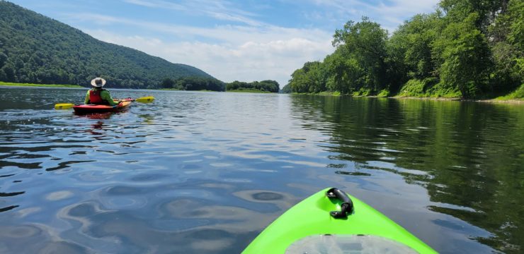
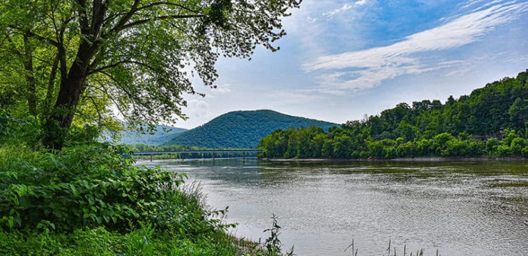
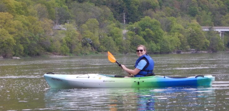
A paddle trip on the Susquehanna River from Berwick to Bloomsburg offers a journey rich in history, scenic beauty, and outdoor adventure. The route begins at Test Track Park, once the location of a World War II-era tank test track, and today has trails, information, and a boat launch. As you glide into the calm waters and abundance of islands keep on the lookout for birds and other wildlife. After about 10 miles, your route ends in the Susquehanna Greenway River Town of Bloomsburg, a perfect place to explore after your trip.
Description
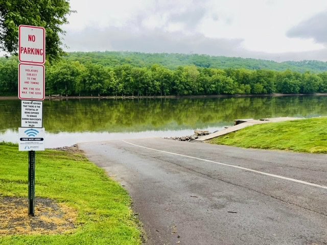
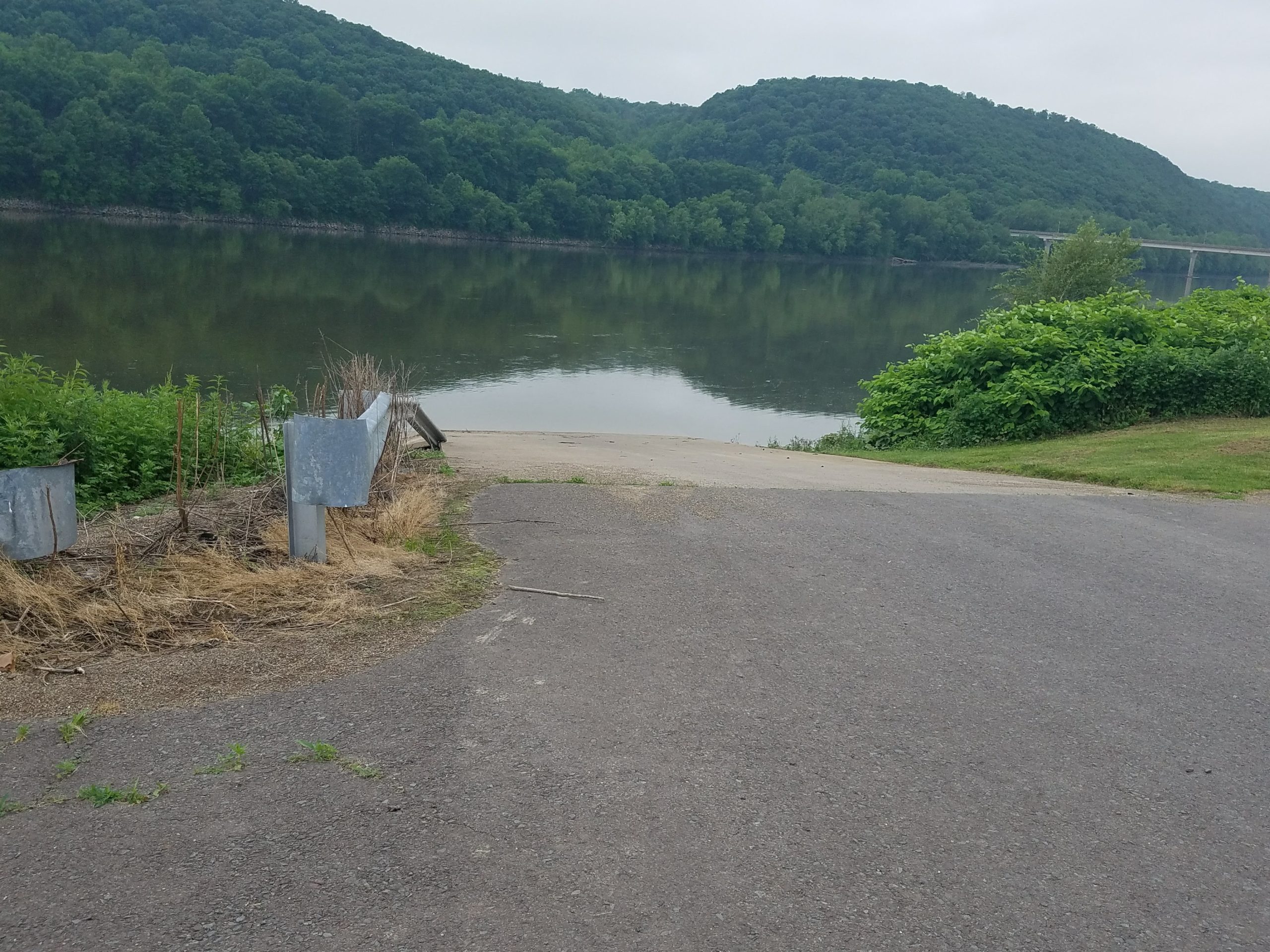
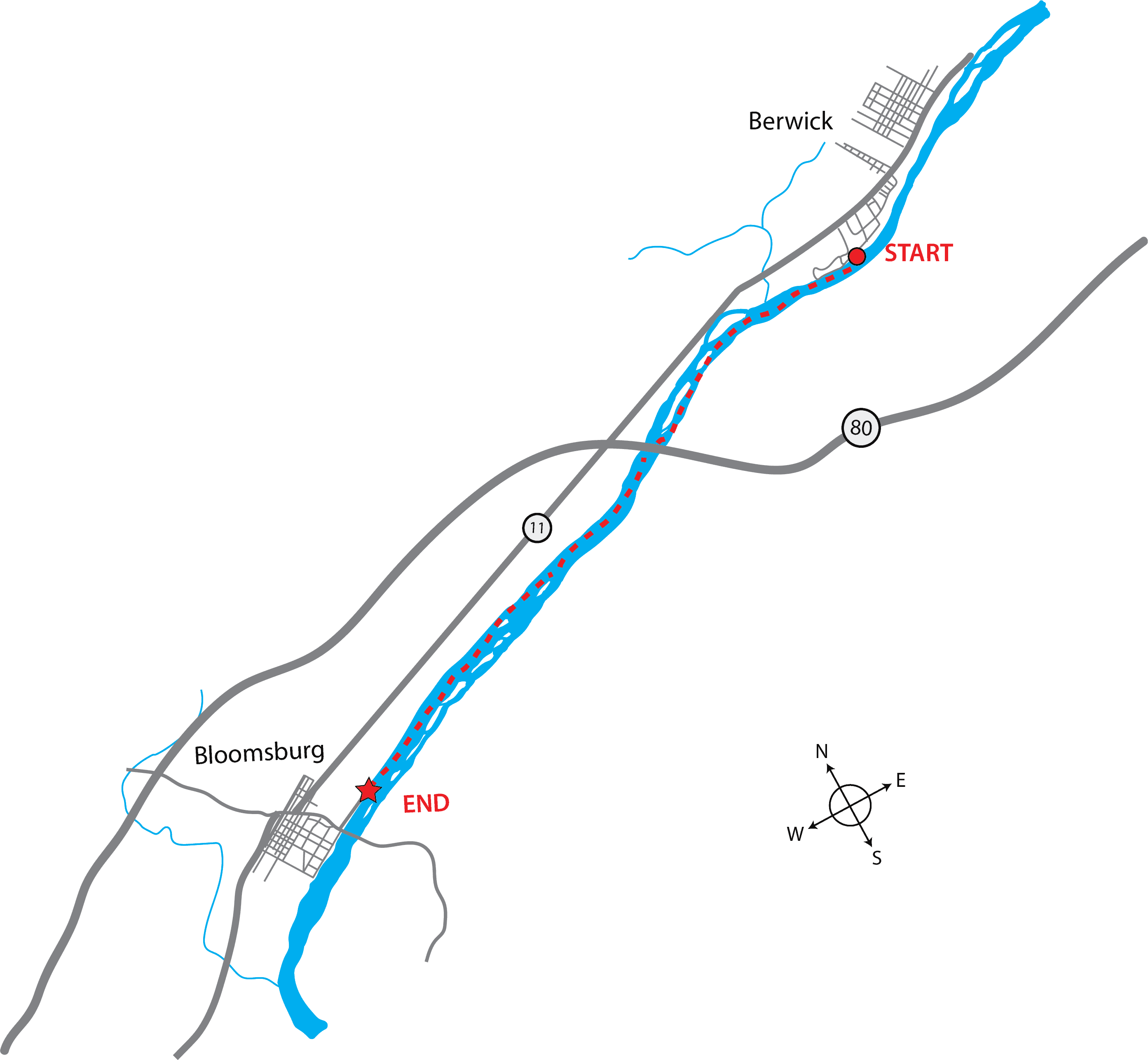
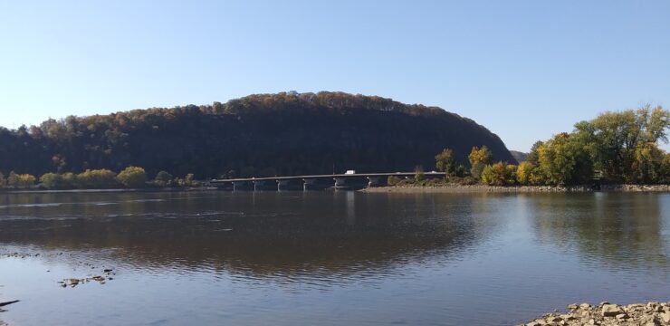
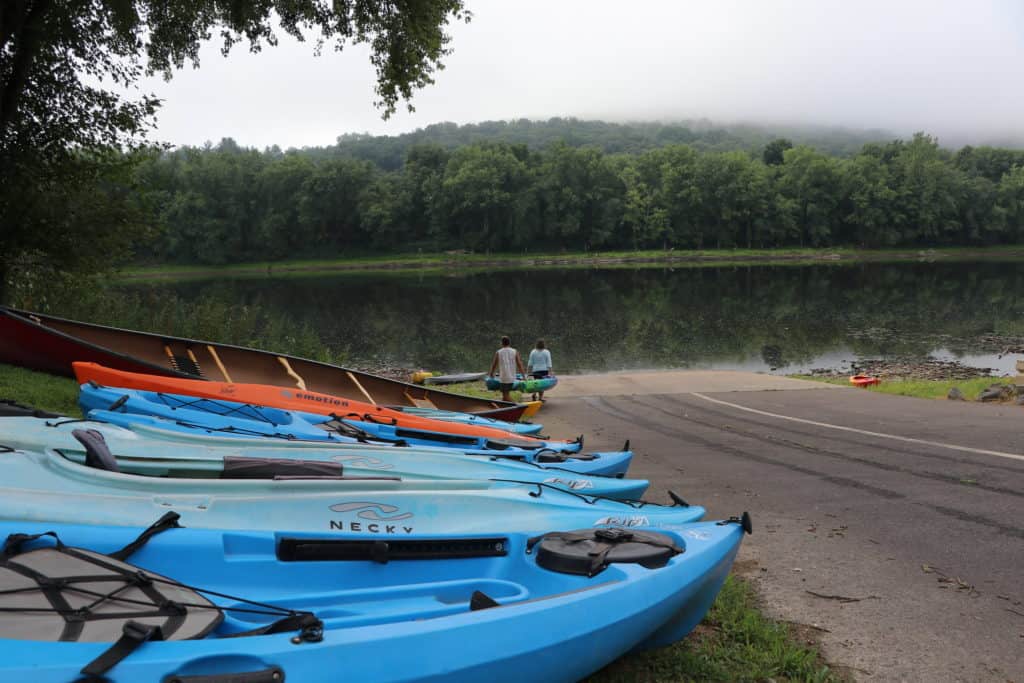
This 10-mile paddle is great for those looking for a calm, easy trip along the North Branch Susquehanna River Water Trail. Begin your paddle by launching at the Berwick Test Track Park Access. The boat ramp is at the end of a gravel path off S. Eaton Street in Test Track Park. Once in the river, stay river left to avoid the islands that appear on the horizon, including French Island. Once passing under the I-80 bridge, the remaining route becomes calm and straight. Transition to river right as you approach the next group of islands.
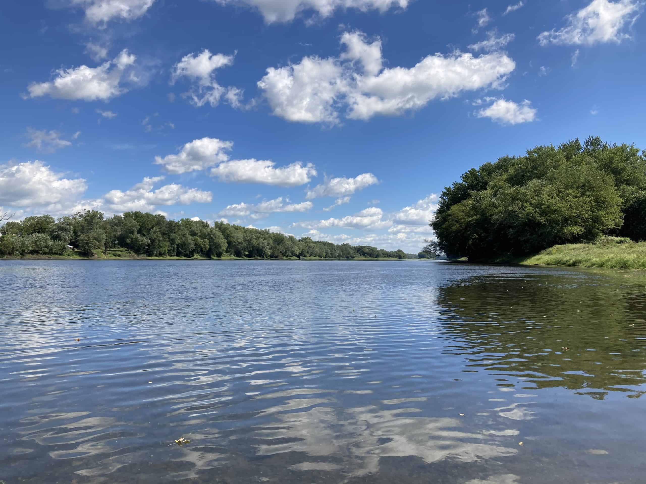
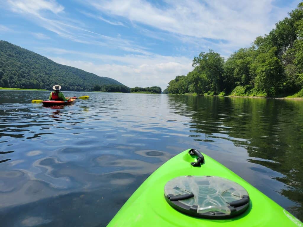
This paddling trip is notable due to the chain of river islands along the way. Be sure to take a look as you pass by for the chance of seeing some waterfowl near them. Views of rolling mountains on your left as you paddle along the North Branch are another great feature of this route.
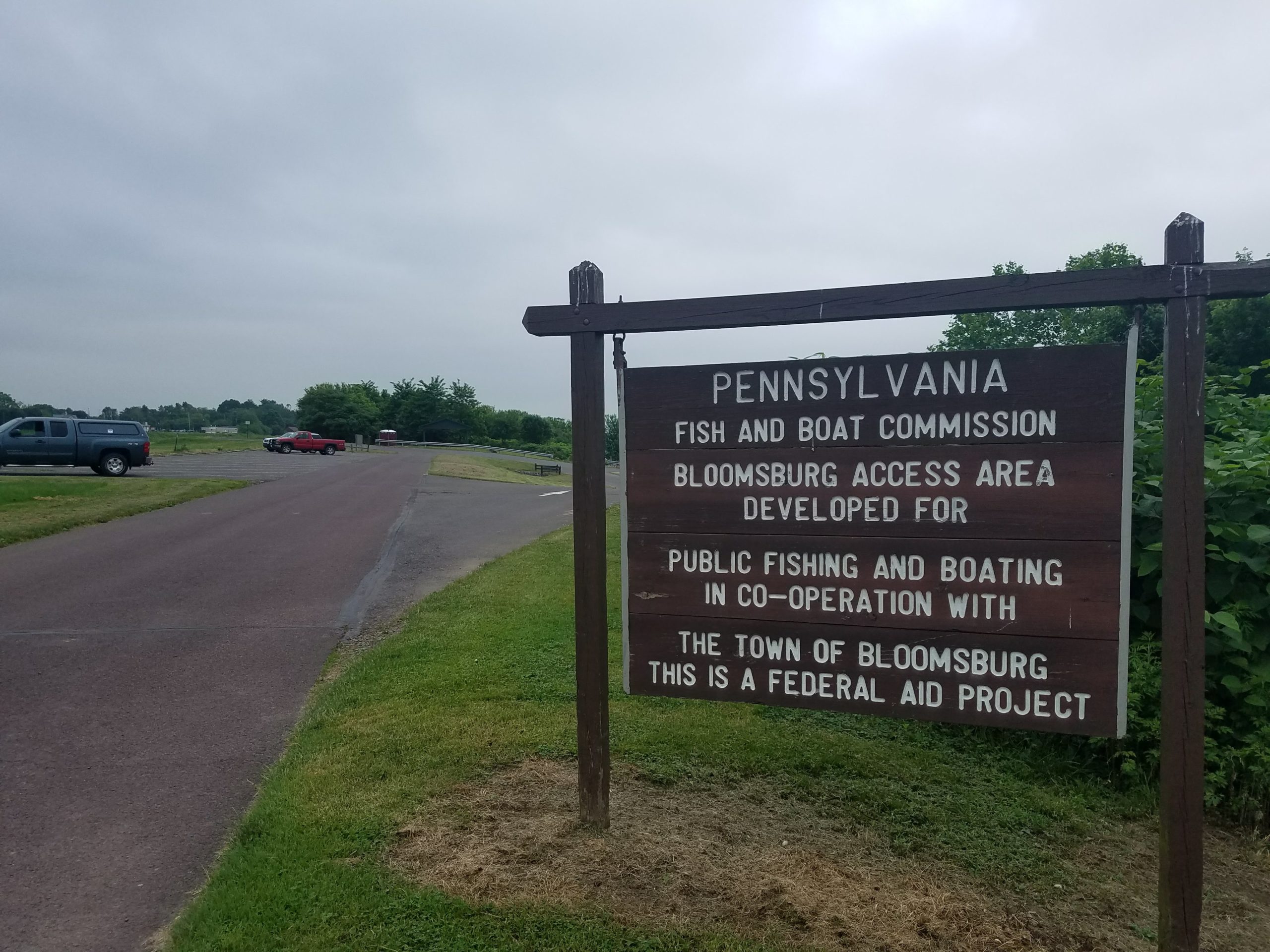
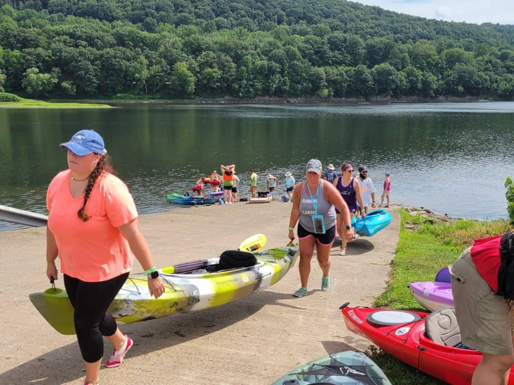
Stay river right and close to the bank as you approach the PFBC Bloomsburg Access. You will know you are close when you approach the last island in the chain. Once out of the river, take the opportunity to explore the Susquehanna Greenway River Town of Bloomsburg and hop on the nearby Bloomsburg Rail Trail.
Amenities
The Test Track Park Access has seasonal restrooms, some picnic tables, and food nearby in the town of Berwick. The PFBC Bloomsburg Access has a seasonal restroom, picnic tables, and food nearby in the town of Bloomsburg.
Put In
River Mile 158.4: Test Track Park Access
Take Out
River Mile 148.8: PFBC Bloomsburg Access
This route corresponds with Section 11 & 12 of the Susquehanna River Water Trail – North Branch Map & Guide, a waterproof resource which provides additional details on amenities, point of interest, emergency contacts, and gage height.


