At a Glance
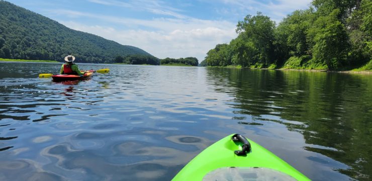
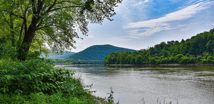
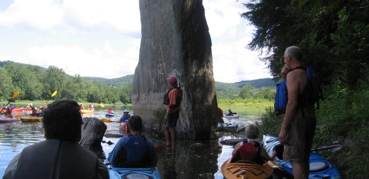
A kayak trip on the Susquehanna River near Nanticoke, PA, offers paddlers a chance to explore the scenic Five Mountains region, where towering ridges frame the river in dramatic beauty. This section of the river flows gently, providing an ideal setting for a day of exploration, whether you’re a novice or an experienced paddler. Watch for eagles, ospreys, and herons soaring above or perched along the banks.
Description
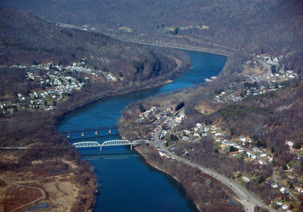
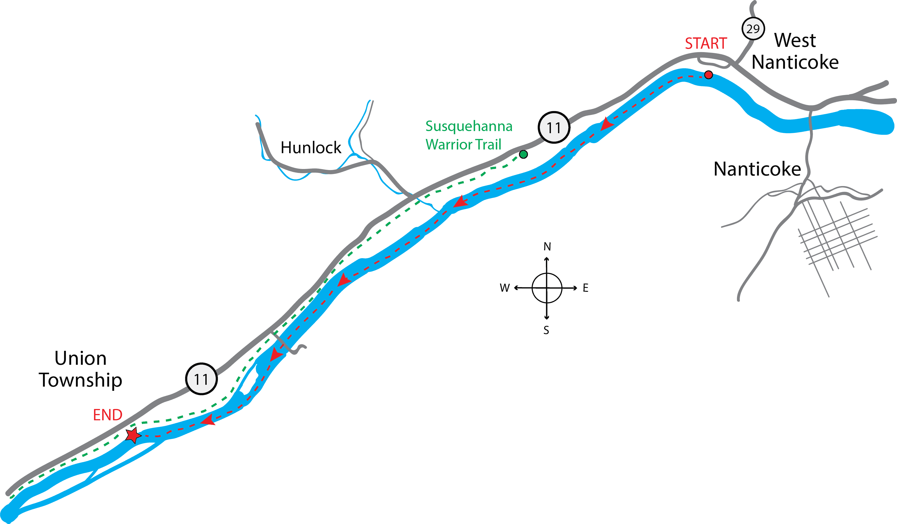
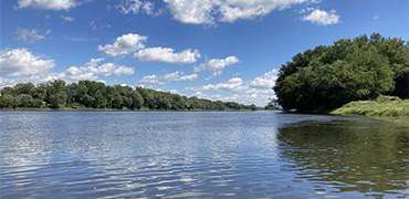
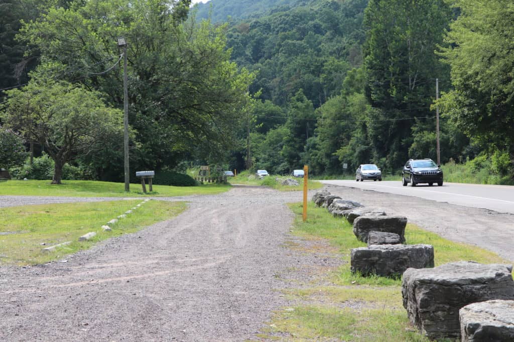
This paddling trip is ideal for those looking for a shorter trip along a calm section of the North Branch Water Trail. Begin your paddle by launching at the Canal Park Municipal Access in West Nanticoke. The canoe access area can be found by following the gravel path from the park to the river. Dining and picnic areas are located nearby. Once one the river, you’ll be able to enjoy a calm, straight stretch as you pass by Hunlock Township and the mouth of Hunlock Creek.
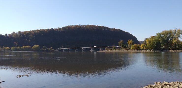
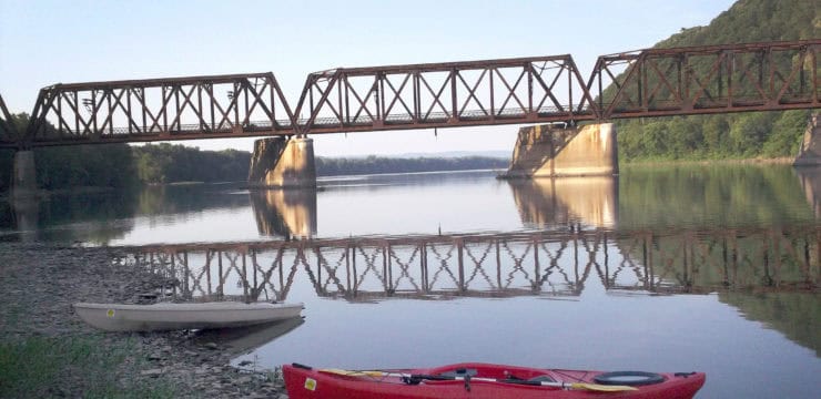
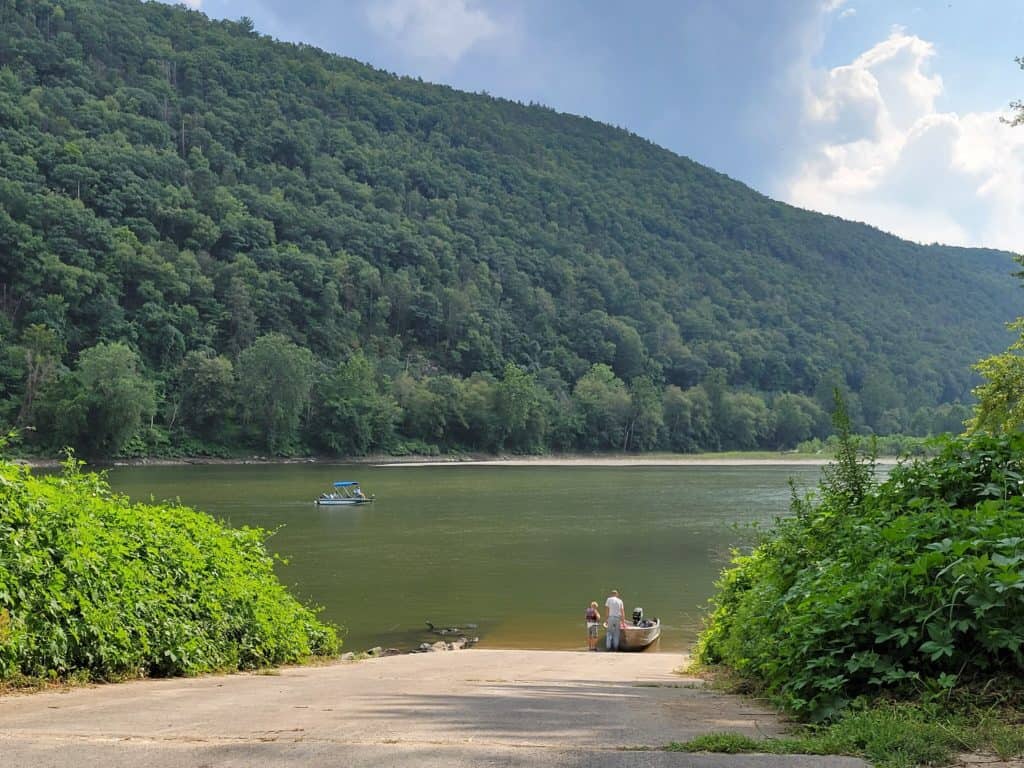
After passing under the steel thru-truss bridge by the State Correctional Institution at Retreat, stay river left as you pass by an unnamed low-elevation island. Continue along for about another mile and keep river right until you reach the Union Township Access also located on river right. Please note that a PA state launch permit is required at this access.
The PFBC Union Access has a restroom and is located close to the Susquehanna Warrior Trail, an 18-mile trail named after the Nanticoke Indians who lived along the Susquehanna. The Susquehanna Warrior Trailhead in West Nanticoke is located at Canal Park. You can combine your paddling trip with a journey along the Warrior Trail for a multimodal adventure along the North Branch Susquehanna River Water Trail.
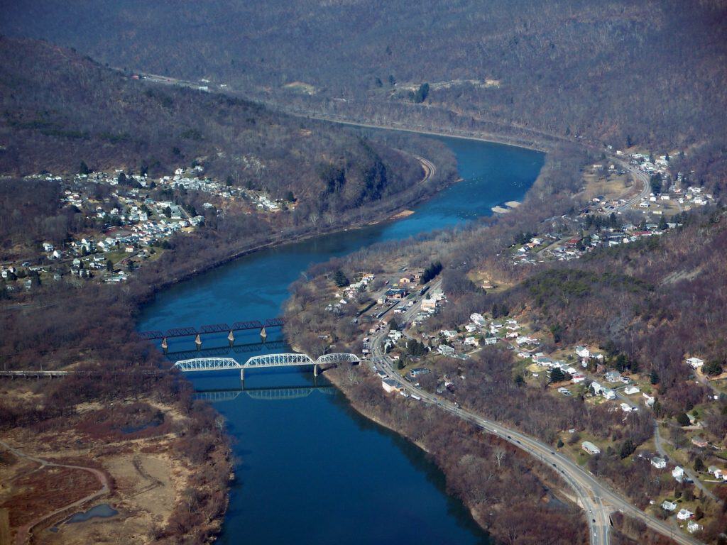
Photo taken by Hank Rogers
Amenities
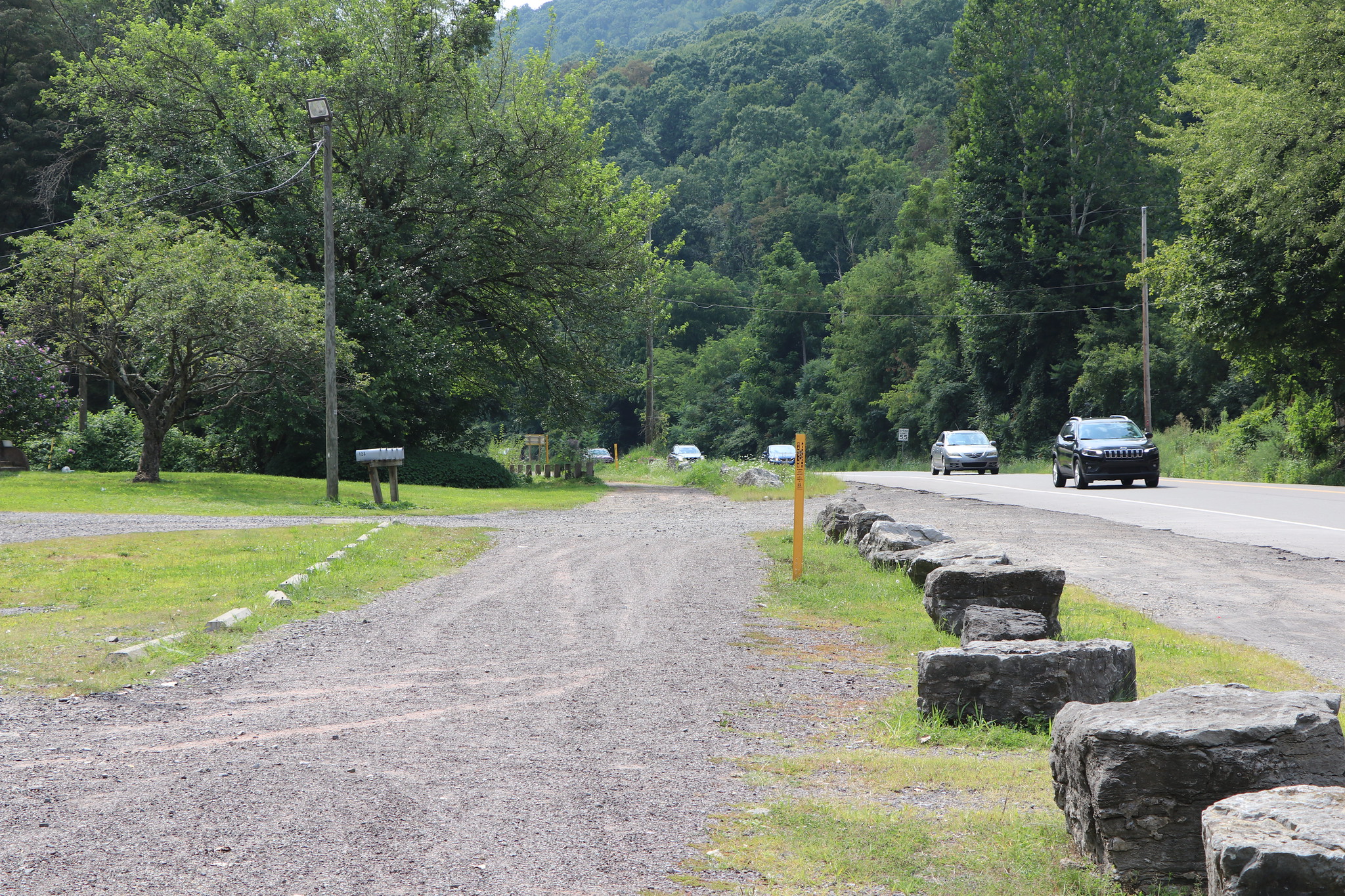
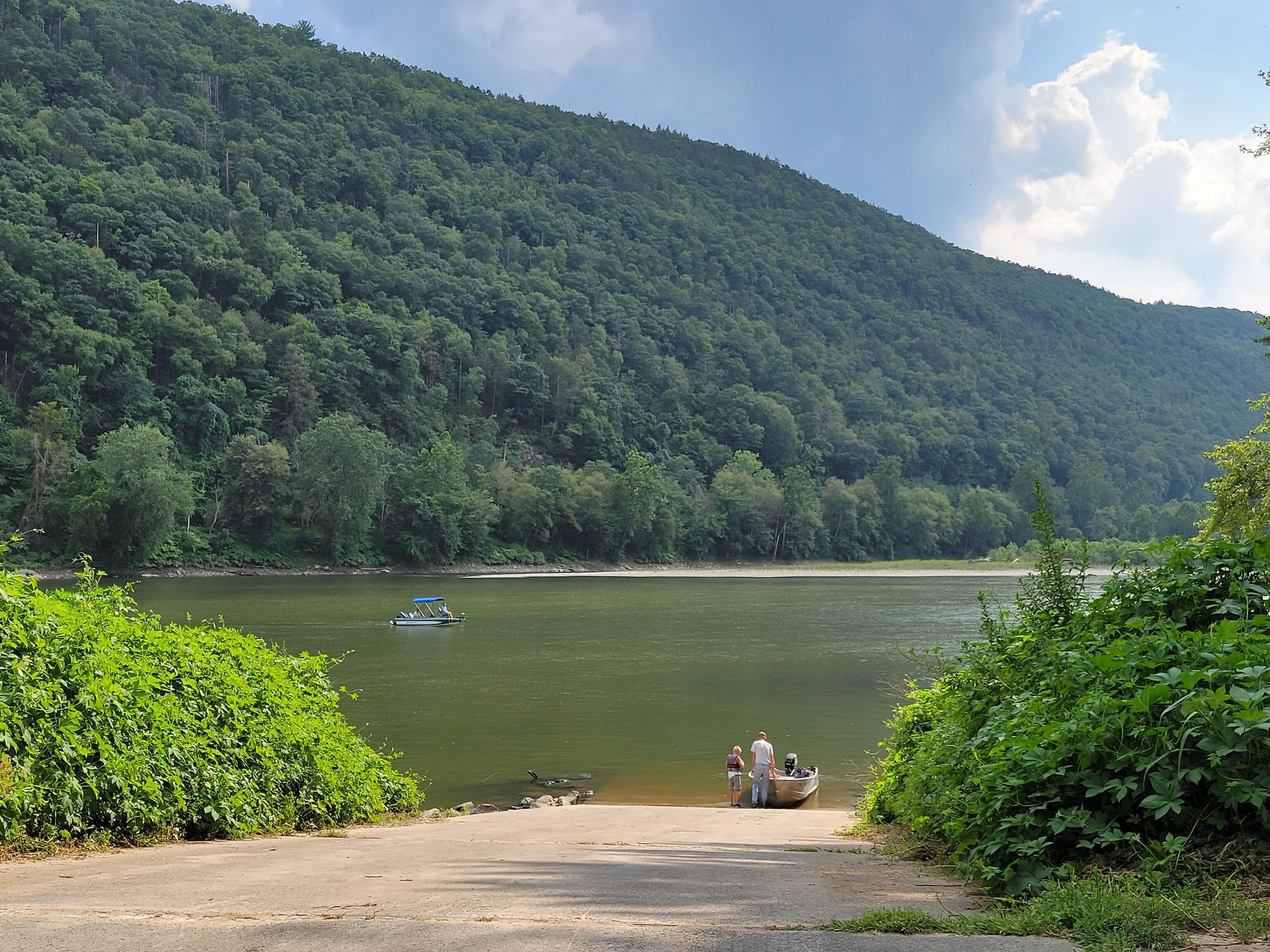
The Canal Park access has parking and a covered pavilion, with dining nearby. The PFBC Union access has parking, restrooms, and a paved boat ramp.
Put In
River Mile 179.6: Canal Park Municipal Access (canoe access)
Take Out
River Mile 174: PFBC Union Township Access (boat ramp)
This route corresponds with Section 10 of the Susquehanna River Water Trail – North Branch Map & Guide, a waterproof resource which provides additional details on amenities, point of interest, emergency contacts, and gage height.


