At a Glance
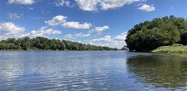
The Susquehanna River hosts many historic secrets and this day-trip showcases two important ones along its shores—The Standing Stone and French Azilum/Marie Antoinette Overlook. The length and occasional ripples in the river elicit a moderate difficulty level, but the abundance of wildlife and trips through history make this paddle well worth it.
Description
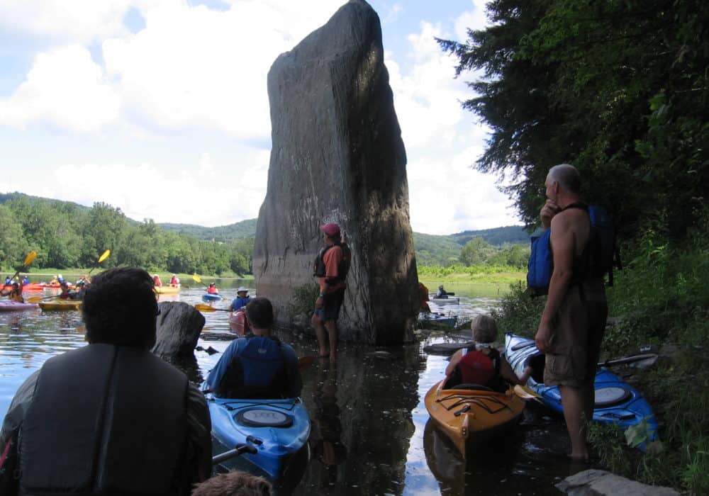
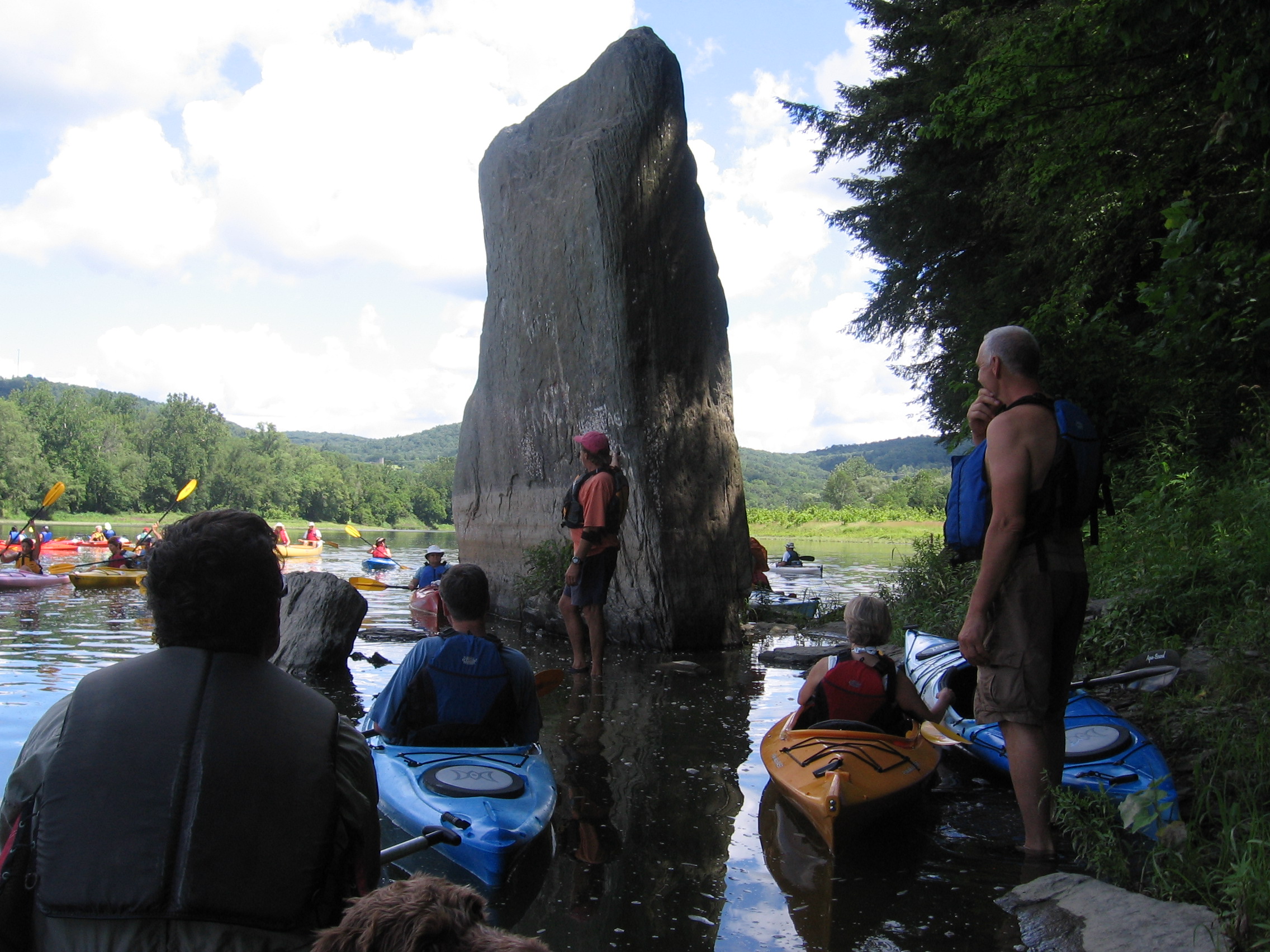
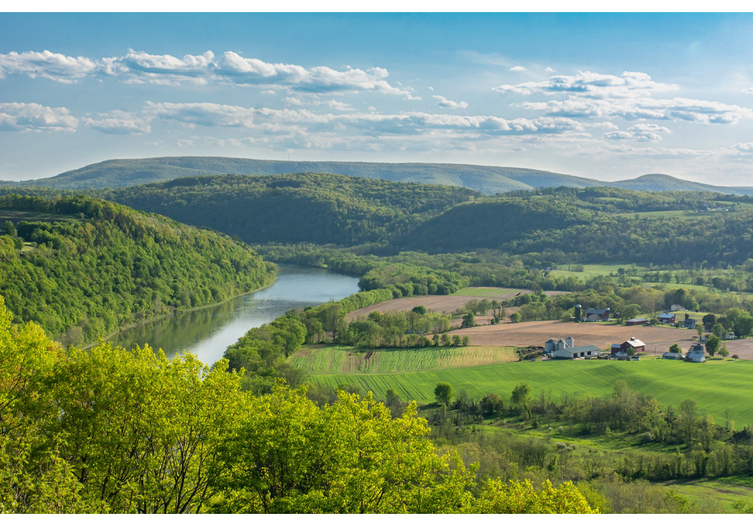
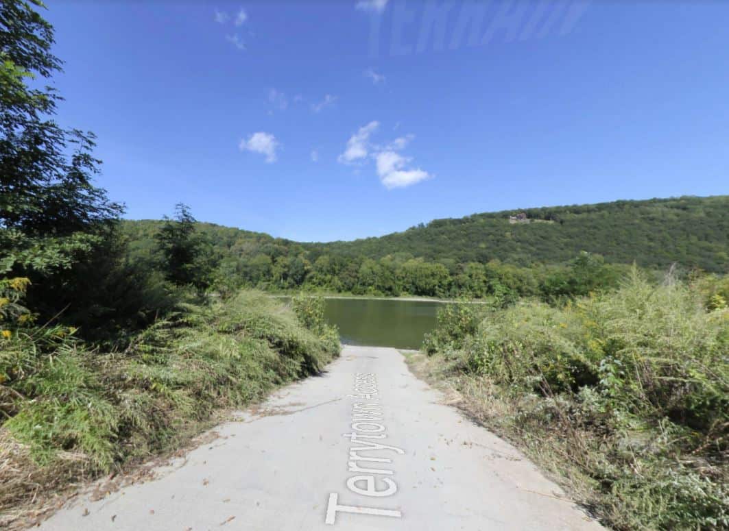
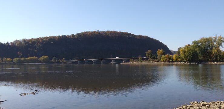
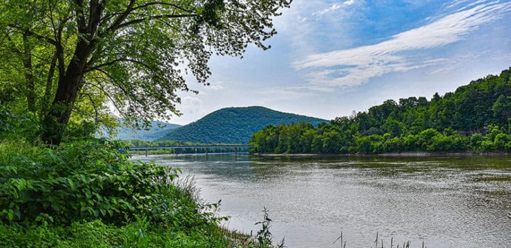
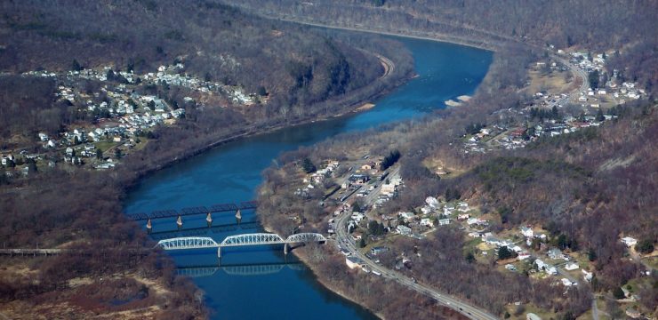
Paddlers on this day trip will begin at the PFBC Wysox Access just outside of Towanda, PA. Just after the launch travel river right past the island. Two small wave trains greet you prior to the first bend. Once around the bend, at mile 265.0, are State Game Lands 237 (no camping) on the island; paddle river right for the best wildlife viewing. Keep your eyes open as you approach mile 262 for the Standing Stone on river right. Just down river of the Standing Stone are the Marie Antoinette Overlook and the French Azilum Historic Site. This historic site was once home to a group of French exiles in the autumn of 1793. it is a good spot to stop for lunch. The river will turn towards river left and then back towards river right. the PFBC Terrytown Access is midway through the river right bend.
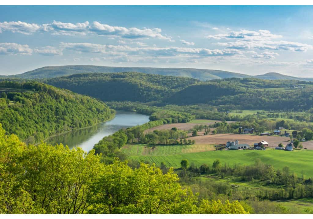
Photo by David Walsh
Landmarks
Standing Stone: The Standing Stone is a gray sandstone monolith that stands erect on the southeast bank of the North Branch Susquehanna River 6 mi southeast of Towanda, Pennsylvania. First described by an officer of Sullivan’s expedition against the Iroquois in 1779, the stone has given its name to a township on the opposite side of the river, and also marks the northwest boundary of historic French Azilum. The stone is at least 25 ft high, 13.5 ft wide, and 4 ft across bedding. (Information courtesy PA DCNR)
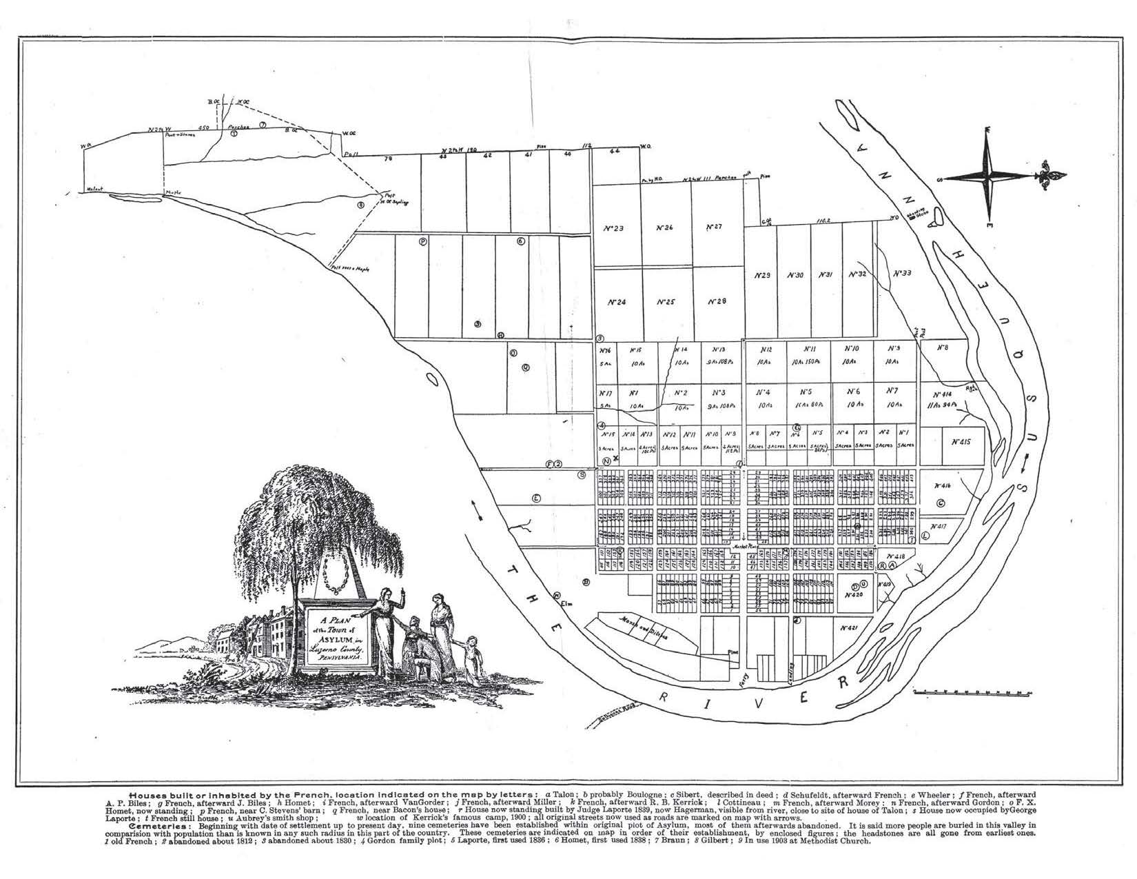
French Azilum: Located on a bend in the Susquehanna River near present-day Towanda, Pennsylvania, Azilum provided refuge for a group of French exiles in the autumn of 1793. Some of the refugees, loyal to the King, left France to escape the horrors of the Revolution; others fled the colony of Santo Domingo (Haiti) to escape the carnage wrought by the mulatto and slave uprisings inspired by the radical French Assembly. The French refugees even believed that it was possible that the Queen of France, Marie Antoinette and her two children may also use the Azilum as their new home. In the plans of the old town there was even a house built for the queen. Today, the historic site contains over twenty acres of the original settlement. (Information courtesy the French Azilum Historic Site)
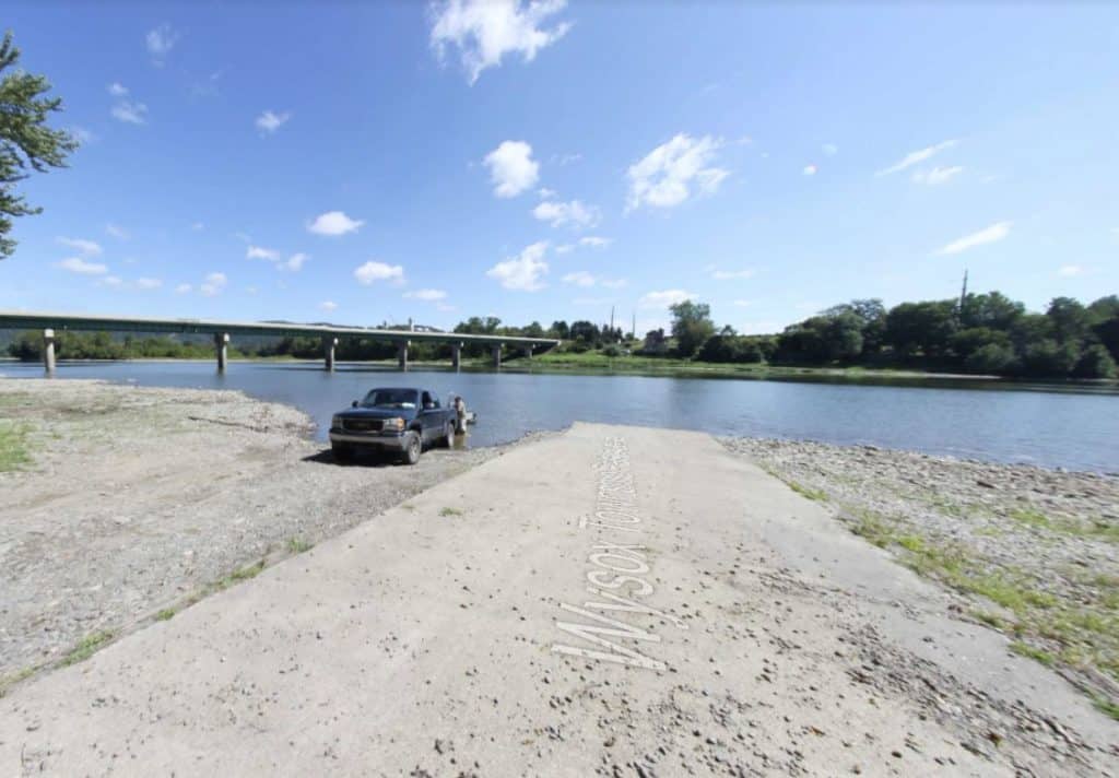
Put In
River Mile 267.5: Wysox Township Park Municipal Access
Public access paved boat ramp with a 20-car parking lot, restrooms, picnic tables, pavilion, lodging, food, and phone within .25 mile.
Take Out
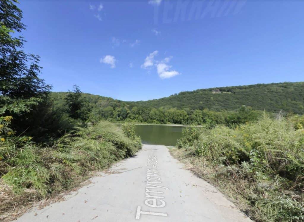
River Mile 254: PFBC Terrytown Access
Public access owned by PA Fish and Boat Commission. Gravel boat ramp with a 20-car parking lot and seasonal restrooms.
This route corresponds with Section 3 & 4 of the Susquehanna River Water Trail – North Branch Map & Guide, a waterproof resource which provides additional details on amenities, point of interest, emergency contacts, and gage height.


