At A Glance
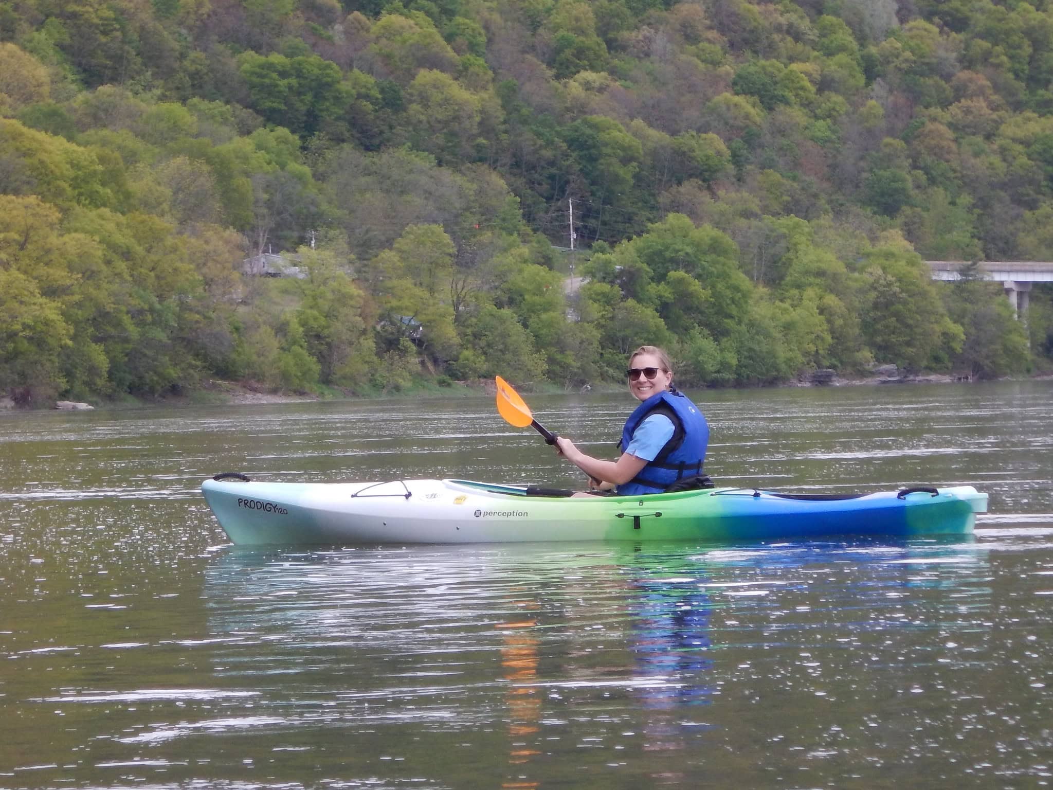
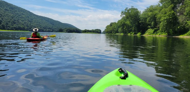
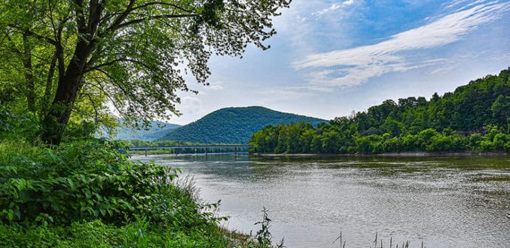
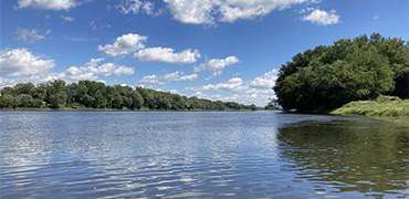
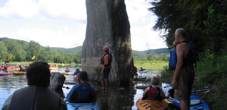
Towanda is located along the North Branch of the Susquehanna River, which is known for its calm waters, gentle current, and stunning natural surroundings. At 4.5 miles, this route is ideal for paddlers of all skill levels and should last a few hours, perfect for a half-day adventure. Your journey will end near downtown Towanda, which offers plenty of amenities to explore after your trip.
Description
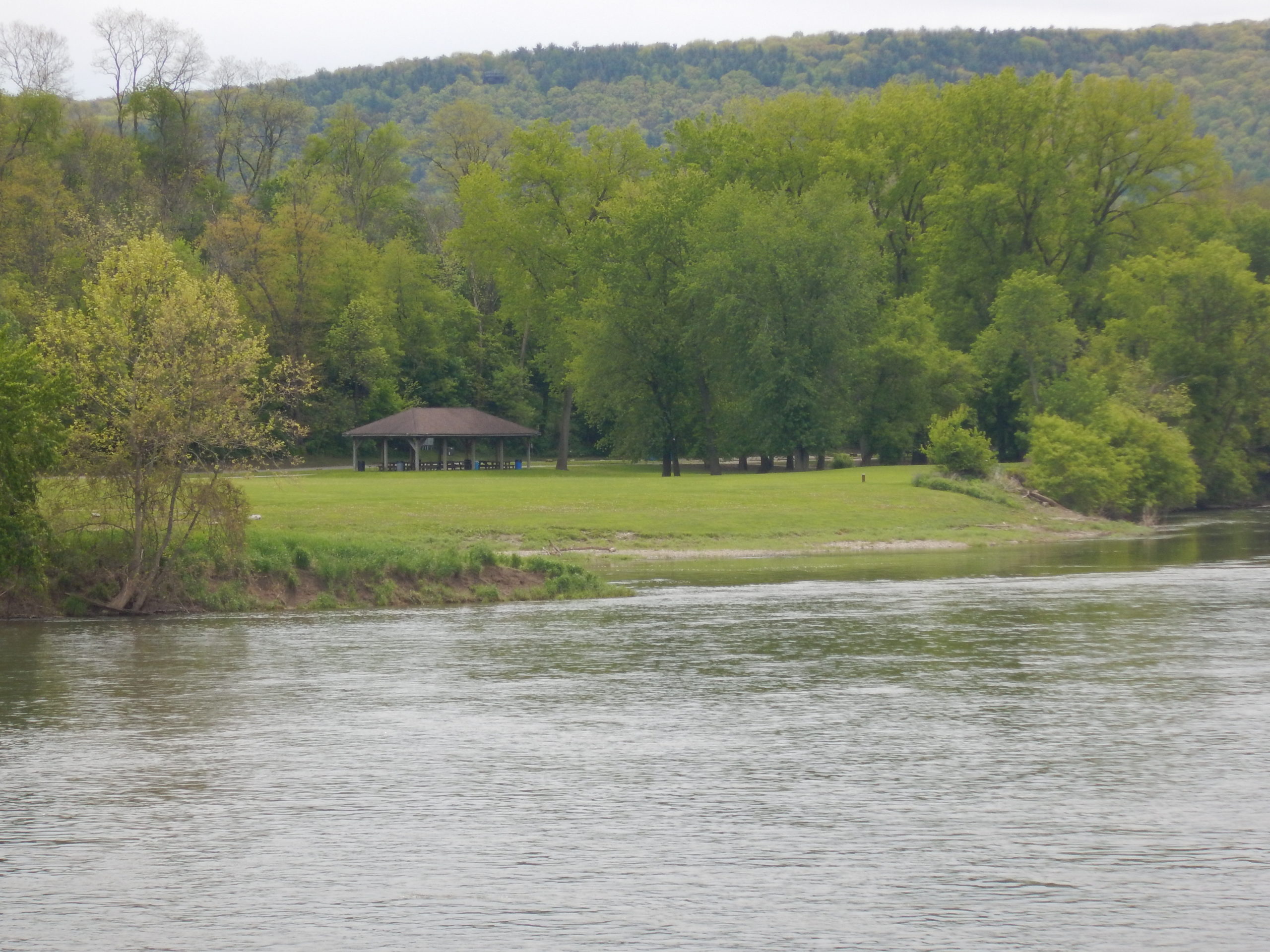
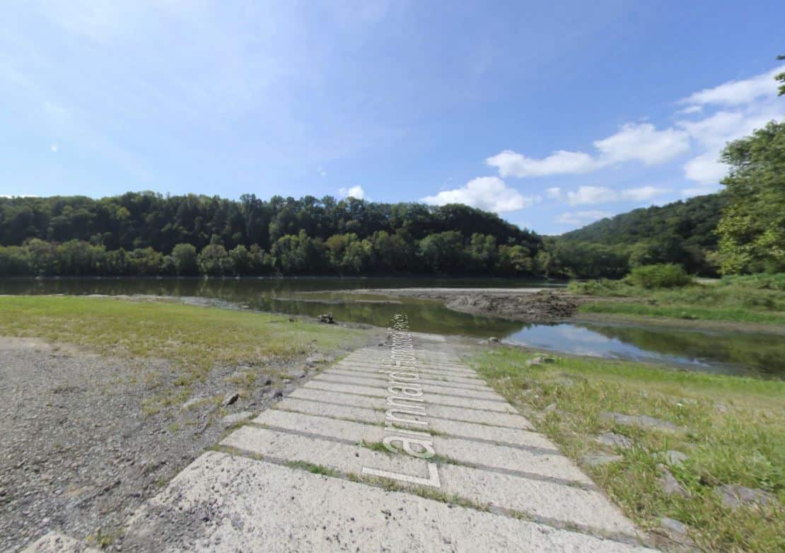
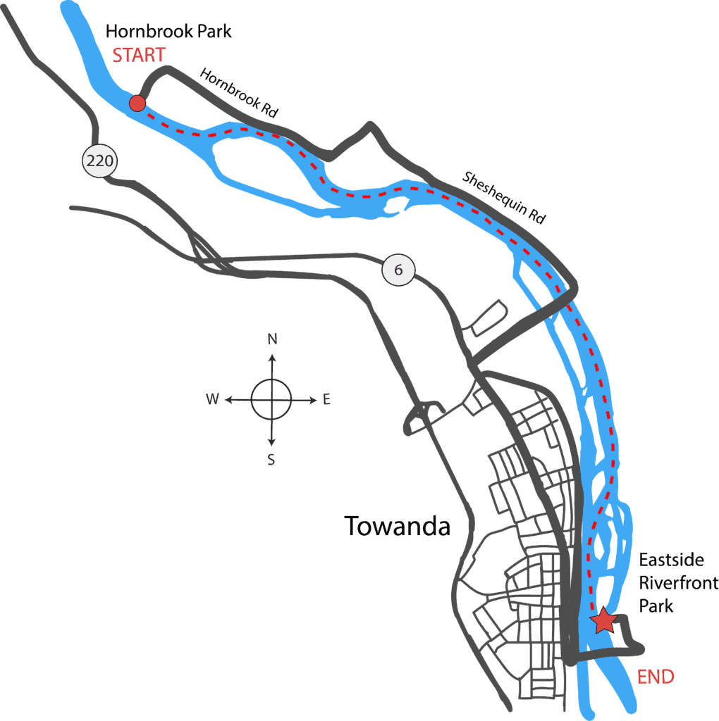
This short (but sweet) section is a nice little jaunt for a weeknight or partial day trip. Start at the beautiful Larnard-Hornbrook County Park Access in Sheshequin. This public park offers reasonably-priced RV and tent camping along the river (607-742-9930), picnicking, volleyball, and baseball field.
Just downstream is the large Bald Eagle Island (private-no stopping). Stay river right to avoid two sections of swift current, the latter of which flows into trees. If you do proceed river left of this island, stay to the far left near the end of the island to avoid hanging up in the trees.
Another half mile downstream and you’ll encounter the mouth of Sugar Creek on river right, just past a smaller, unnamed island, and remnants of the North Branch Canal’s aqueduct.
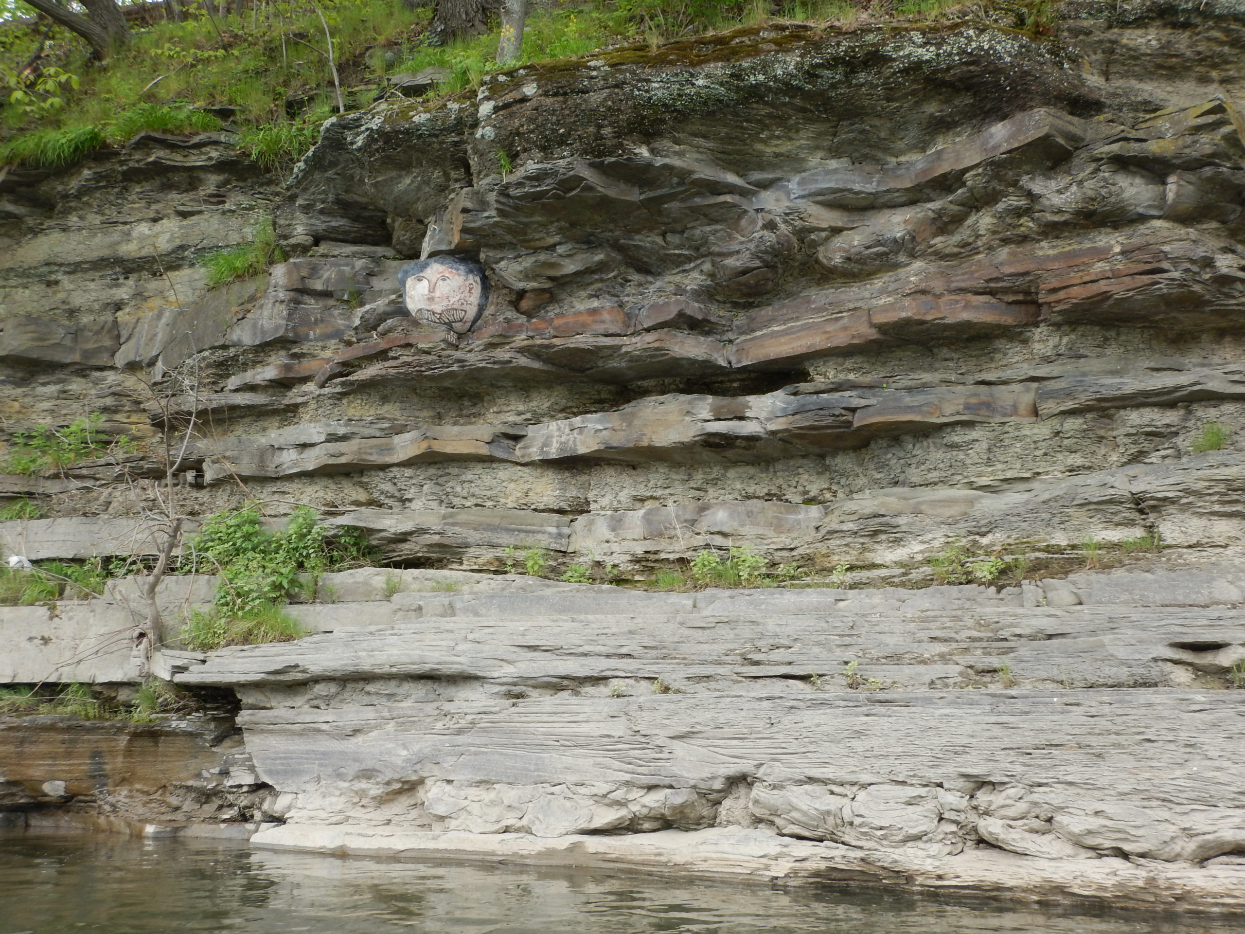
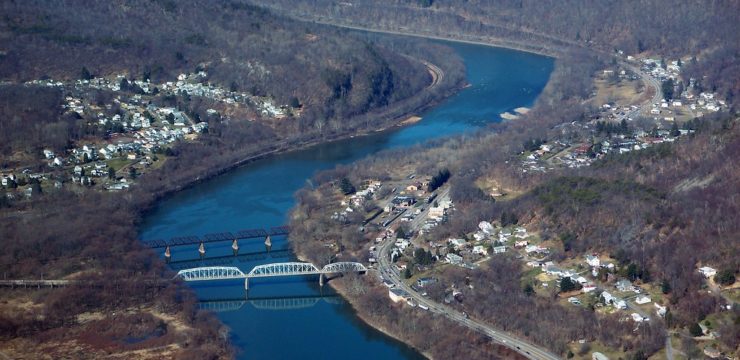
After the PA-1041 / James St. Bridge (river mile 272.8), a face is painted on the cliff rocks. Legend has it that a young Indian squaw fell to her death from these cliffs. According to the owner at Endless Mountain Outfitters, a diary entry from 1789 named Early Times on the Susquehannah by Julia Anna Sheppard Perkins mentions the face.
Breakneck, the lower part of Sheshequin, was known by that name at the time of Sullivan’s army passed through the narrows. Col Hubley states in his journal: “So high and so narrow was the path at Breakneck Hill, a single false step must inevitably carry one to the bottom, the distance of 180 feet perpendicular.” And yet, an army of more than 3,000 men, with their long train of packhorses, marched through this dangerous path in safety. They then “entered the charming valley of Sheshequin, made a halt at a most beautiful run, and took a bit of dinner.”
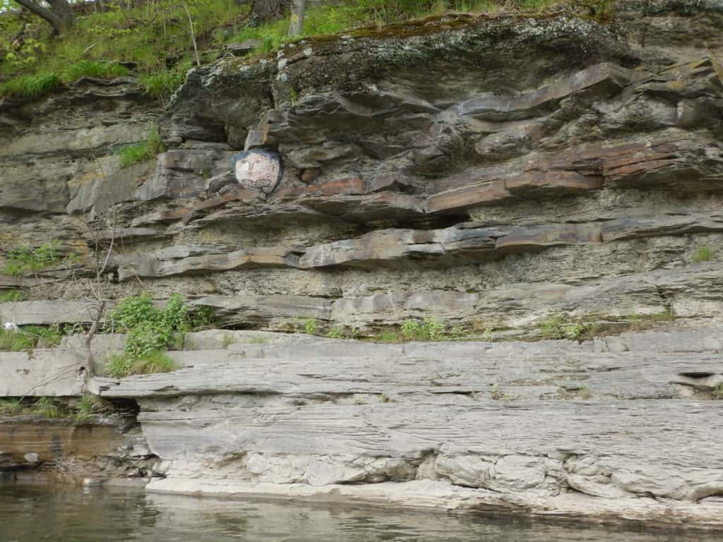
Painted face on rocks.
It has been said that a squaw fell from the precipice years ago and broke her neck, and it was generally supposed this circumstance gave name to the place, and a face was painted on the rocks, commemorating the event, which, perhaps, is still visible.
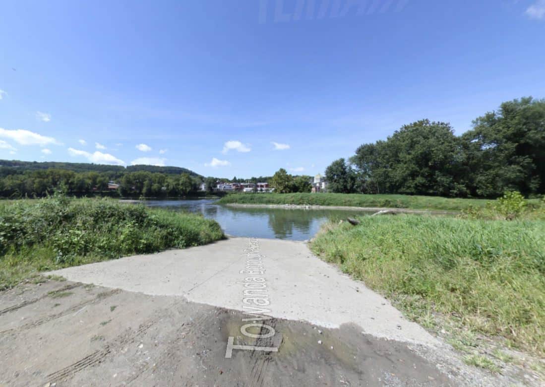
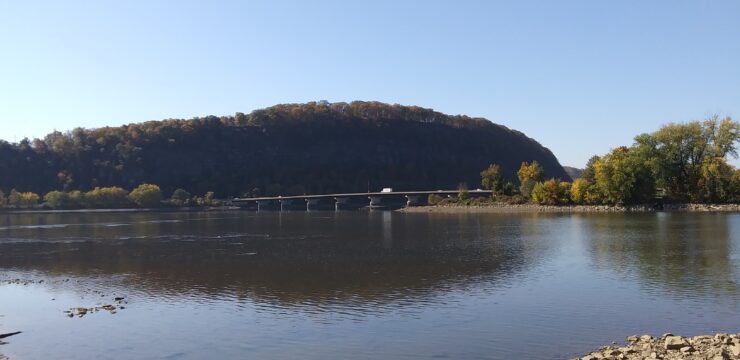
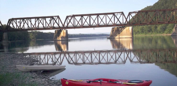
Around river mile 272 is the Norfolk Southern railroad bridge, beware of fast riffles under the bridge arches. From here to the take-out point, there are numerous small private islands (no stopping). Stay to river left for best wildlife viewing. After the last island, stay river left to exit at Towanda Riverfront Borough Access (river mile 271.0), before the US-6 bridge.
Amenities
Towanda is a River Town with a beautiful historic downtown, and the home of the Water Trail Manager for the upper section of the North Branch: Endless Mountains Heritage Region. After disembarking at Towanda, check out the Towanda Borough Merrill Parkway Trail located next to the river in Towanda.
Put In
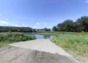
River Mile 275.5: Larnard Hornbrook County Park Access (boat ramp, river left)
Photo courtesy of visitbradfordcounty.com
Take Out
River Mile 271.0: Towanda Riverfront Borough Access (boat ramp, river left)
This route corresponds with Section 3 of the Susquehanna River Water Trail – North Branch Map & Guide, a waterproof resource which provides additional details on amenities, point of interest, emergency contacts, and gage height.


