


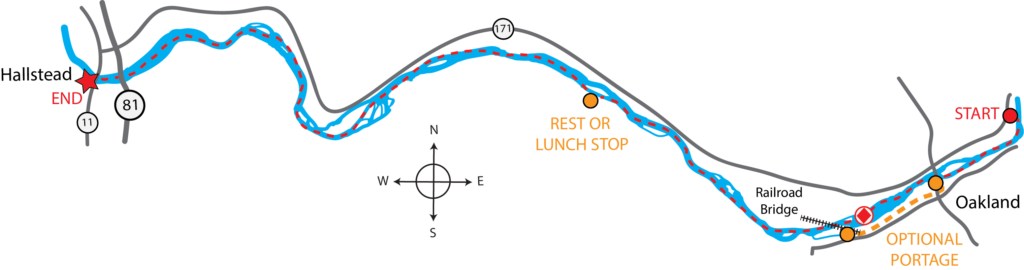
At a Glance:
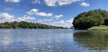
Embark on an unforgettable adventure along the North Branch Susquehanna River Water Trail from the PFBC Oakland Access to the PFBC Hallstead Access. This 11.96-mile paddle traverses a piece of the river known as the Great Bend, where the Susquehanna dips down into Pennsylvania before re-entering New York. As you navigate the waterway, keep an eye out for wildlife, as river islands offer secluded habitats for birds and other native critters.
Description:
With an estimated paddle time of 5-6 hours, you will have ample opportunity to immerse yourself in the scenic beauty of the river and its surroundings. From the moment you depart from PFBC Oakland Access at river mile 35.4, you will be greeted by the gentle flow of the river, leading you downstream into a world of adventure.
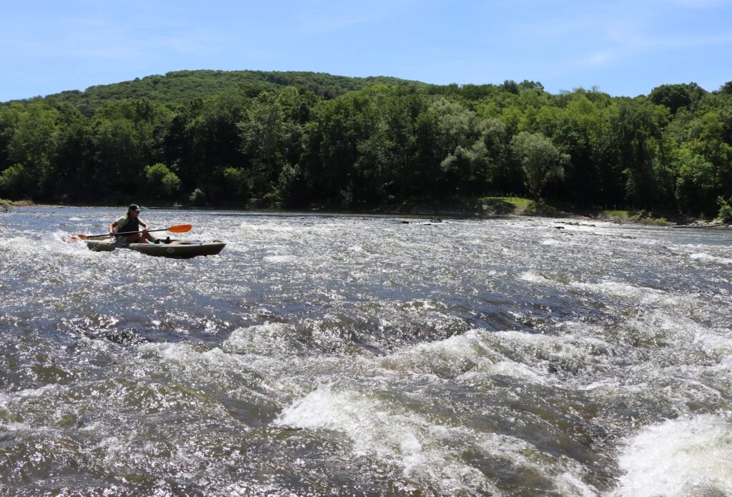
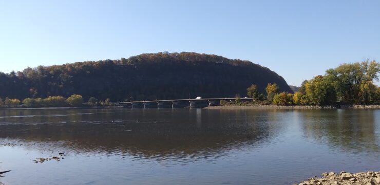
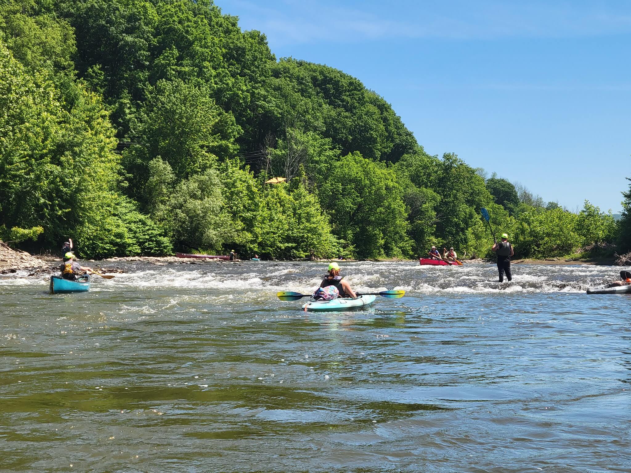
A kayaker paddles over the rapids at the former Oakland Dam
First, navigating through the towns of Oakland and Susquehanna, you’ll pass under the State Route 92 or Exchange Street Bridge. Shortly after, you will encounter the former location of the Oakland Dam, now classified as a Class I Rapid after the dam’s removal in 2023. The century-old Oakland Dam on the Susquehanna River was removed in Pennsylvania’s largest dam removal project on September 18, 2023. The removal reconnects over 250 miles of stream and aquatic habitats, benefiting wildlife and improving public safety by eliminating flood risks and boating hazards.
For those who wish to avoid the rapids, an optional portage is available to navigate around the area safely. For the portage, take out underneath the Exchange Street Bridge on river left and put in just below the dam’s former location about a 0.5-mile downriver.
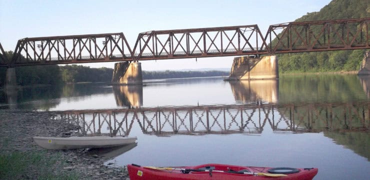
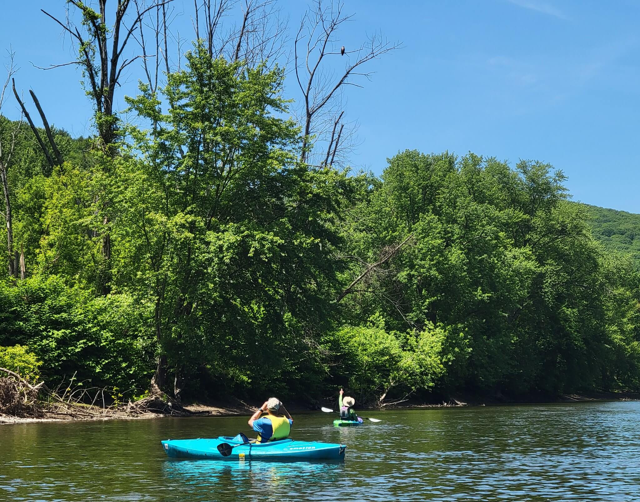
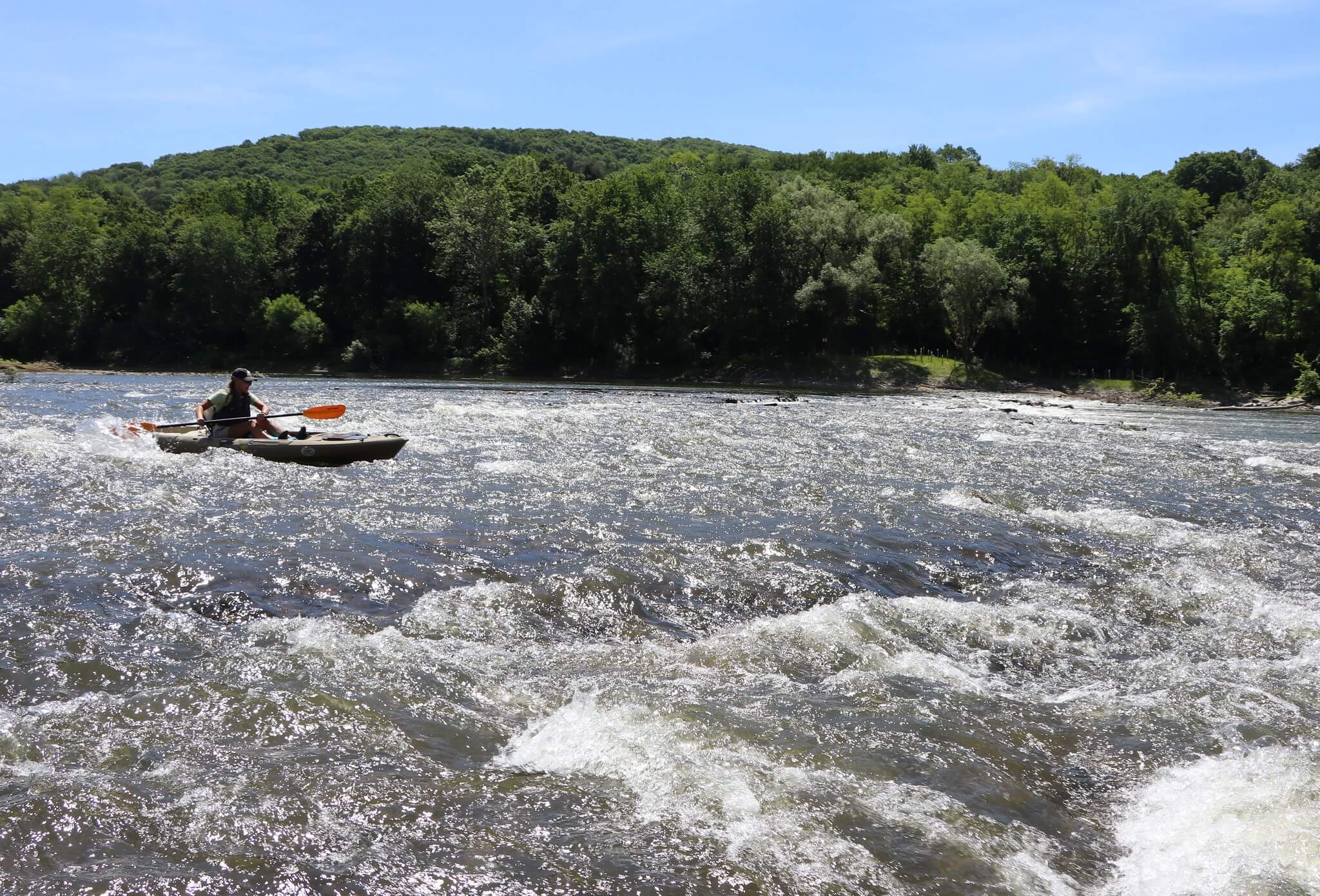
After the rapids, you will pass beneath a railroad bridge. From here, the river’s beauty will unfold before you, as you leave the towns behind. Marvel at the scenery as you glide past several islands of varying sizes, each adding to the tapestry of your river journey. This section of the river is fairly remote. About halfway through, around river mile 348, you’ll reach the PFBC Great Bend Access. It’s an ideal spot for lunch and taking in the surroundings. The access offers amenities such as a boat ramp and parking but remember that a PA state launch permit is required.
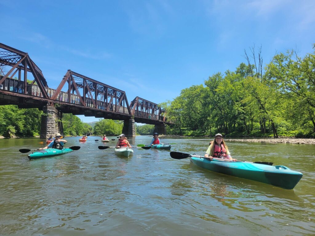
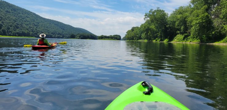
Paddling under a railroad bridge near Oakland
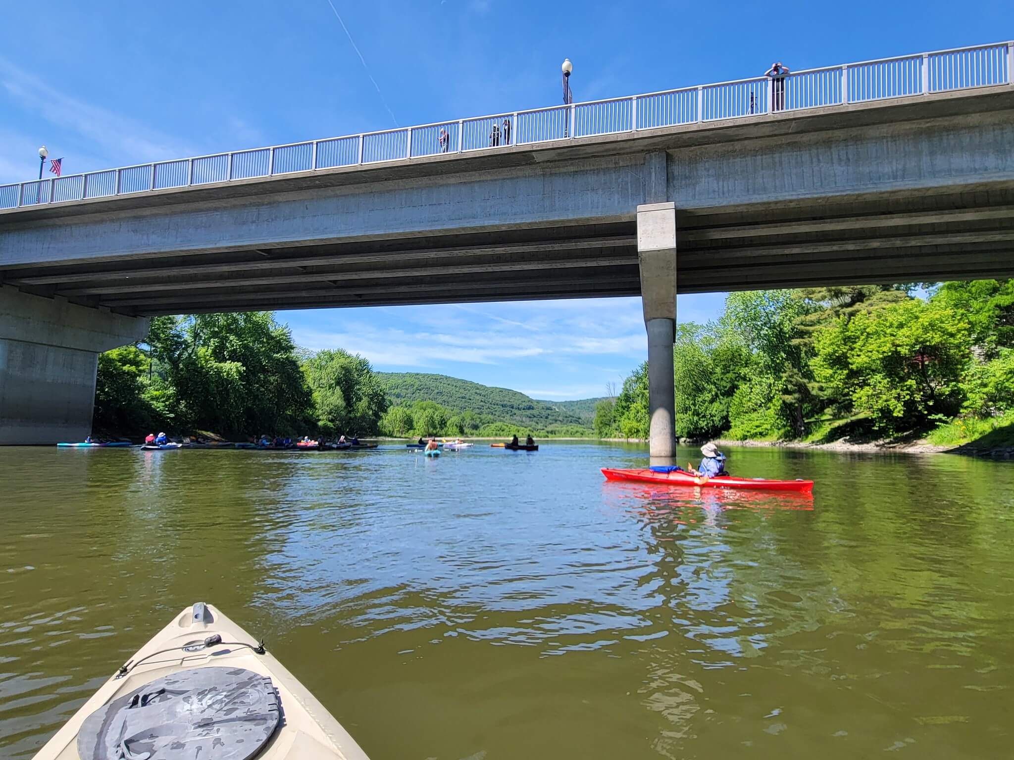
Stay river left of Woodbridge Island, which you will come across after passing a succession of islands downstream of the old Oakland Dam. As you navigate the waterway, keep an eye out for wildlife; the islands offer secluded habitats for birds and other native critters. Nearing the last few miles of your journey the channels of islands will thicken, offering a final moment to absorb the sights and sounds of nature before entering Hallstead. The Route-81 Bridge will be your final landmark, after which the PFBC Hallstead Access coming into view on the river left at river mile 34.2. Here, you will conclude your paddle, reflecting on the beauty and adventure of your journey along the North Branch Susquehanna River Water Trail.
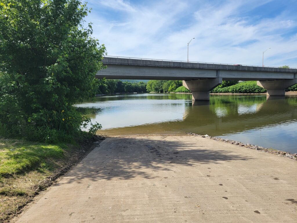
Additionally, at river mile 343, before you reach PFBC Hallstead Access, you’ll find the PennDOT I-81 Bridge Access. This access is near parking, lodging, food, and facilities providing convenience and amenities for paddlers concluding their journey.
Amenities:
Both PFBC Oakland Access and PFBC Hallstead Access offer amenities such as boat ramps, and parking lots, ensuring a convenient and enjoyable experience for paddlers. These accesses require PA state launch permits. Nearby, Hallstead provides access to lodging, food, and other amenities, allowing you to relax and recharge after your adventure. So, grab your paddle and set forth on a journey that promises excitement, discovery, and lasting memories along the Susquehanna River!
Put In
River Mile 354.4: PFBC Oakland Access

Take Out
River Mile 342.5: PFBC Hallstead Access
This route corresponds with Section 1 of the Susquehanna River Water Trail – North Branch Map & Guide, a waterproof resource which provides additional details on amenities, point of interest, emergency contacts, and gage height.