


At a Glance
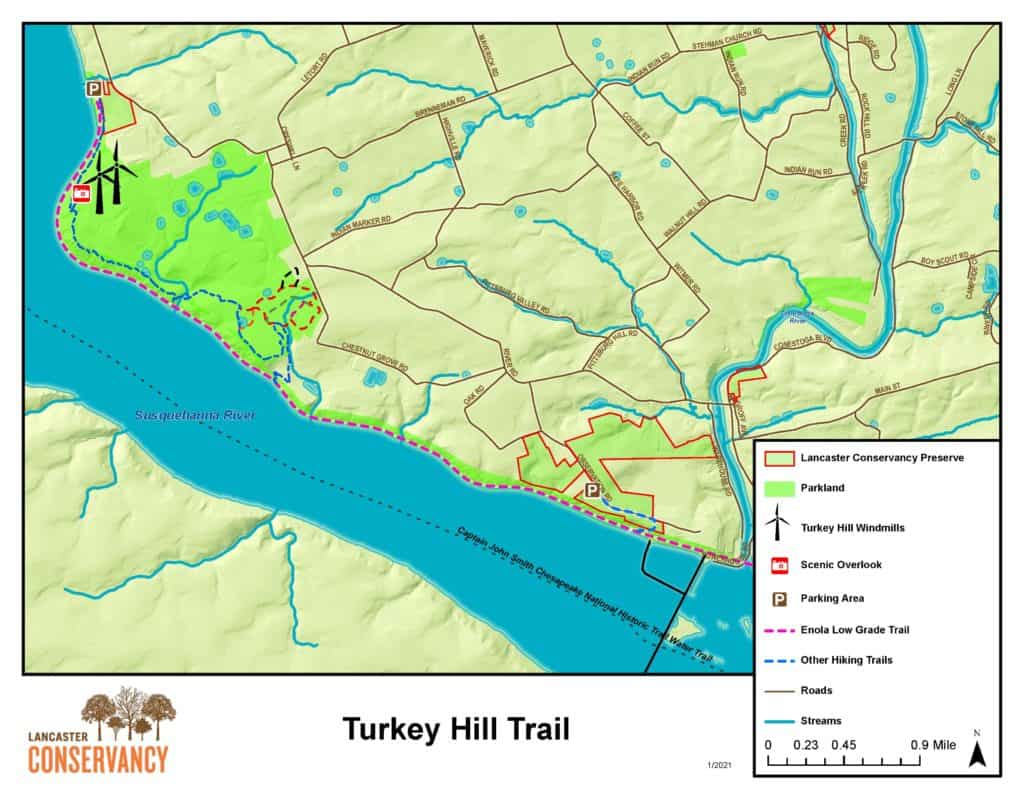
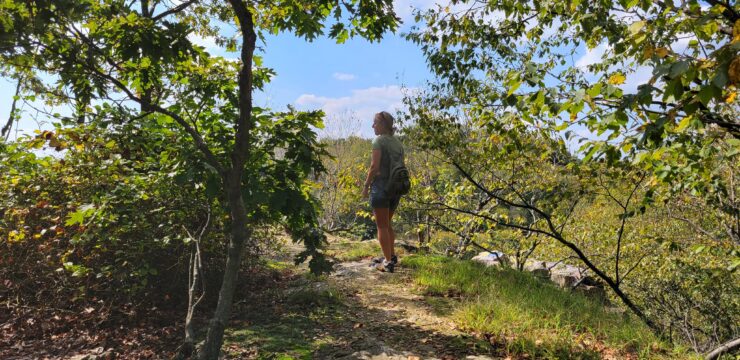
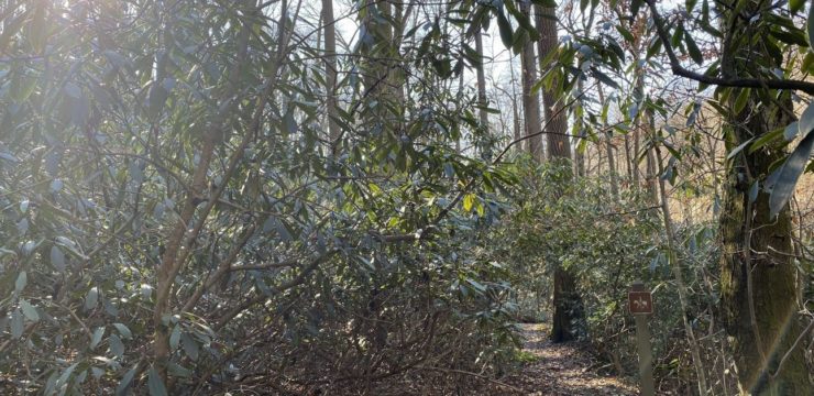
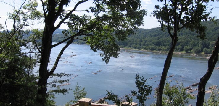
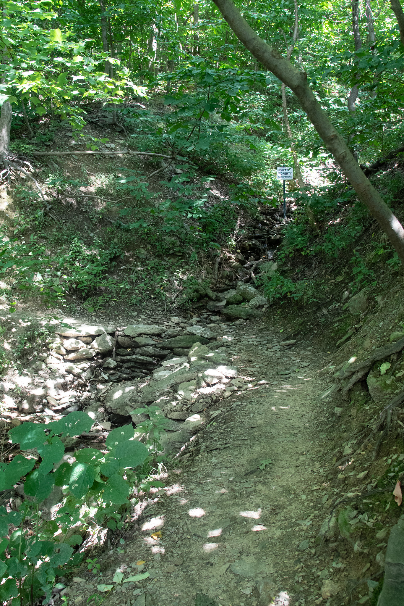
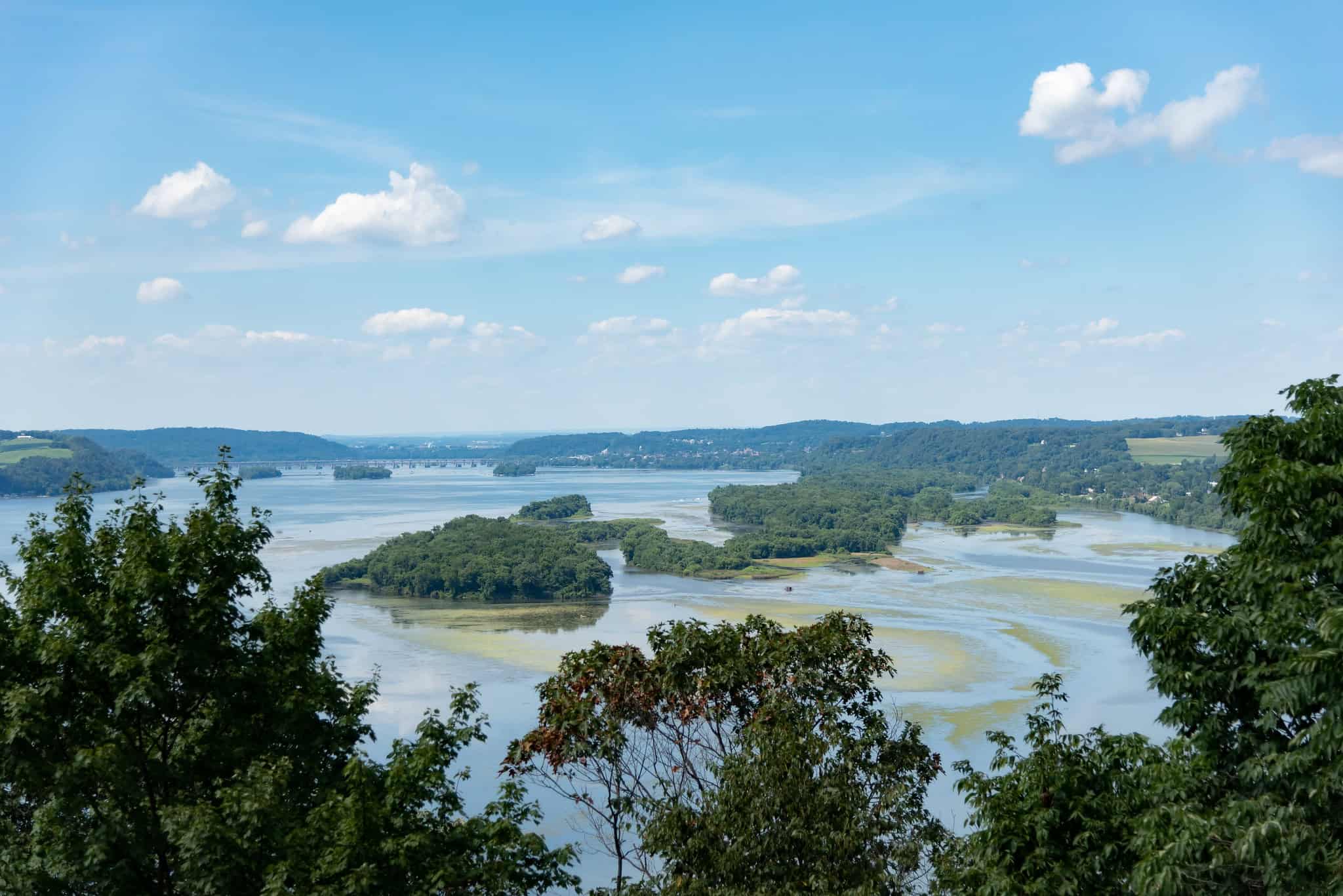
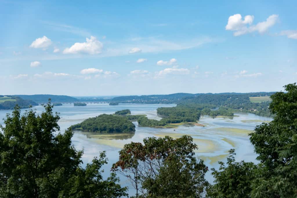
The Turkey Hill Overlook Trail in Lancaster County is a secluded, adventurous destination in the Lower Susquehanna region, offering a unique blend of natural and industrial scenery. The 6-mile loop features varying terrain, including crushed gravel, meadows, and forest paths, with the most challenging steep inclines located at the beginning of the trail. It offers spectacular views, the unique opportunity to walk through the state’s largest pawpaw patch, and its status as a vital migration stop for shorebirds. The route also includes a section crossing Mann’s Run, making it suitable for experienced hikers who are prepared for diverse conditions, steep segments, and potentially wet feet.
Description
The Turkey Hill Trail is known for being secluded, yet it offers spectacular views and unique features. Along the 6-mile loop, hikers will pass through the largest pawpaw patch north of the 39th latitude, see the most important migration stop for shorebirds in the state, overlook an operational landfill, and stand near the base of the two Turkey Hill Dairy Windmills. The trail passes over crushed gravel and through meadows and woods, with the terrain at the beginning being the most challenging as there are a few steep inclines. There is also a section that passes over Mann’s Run, requiring hikers to get their feet wet. Bring appropriate footwear and carry drinking water.
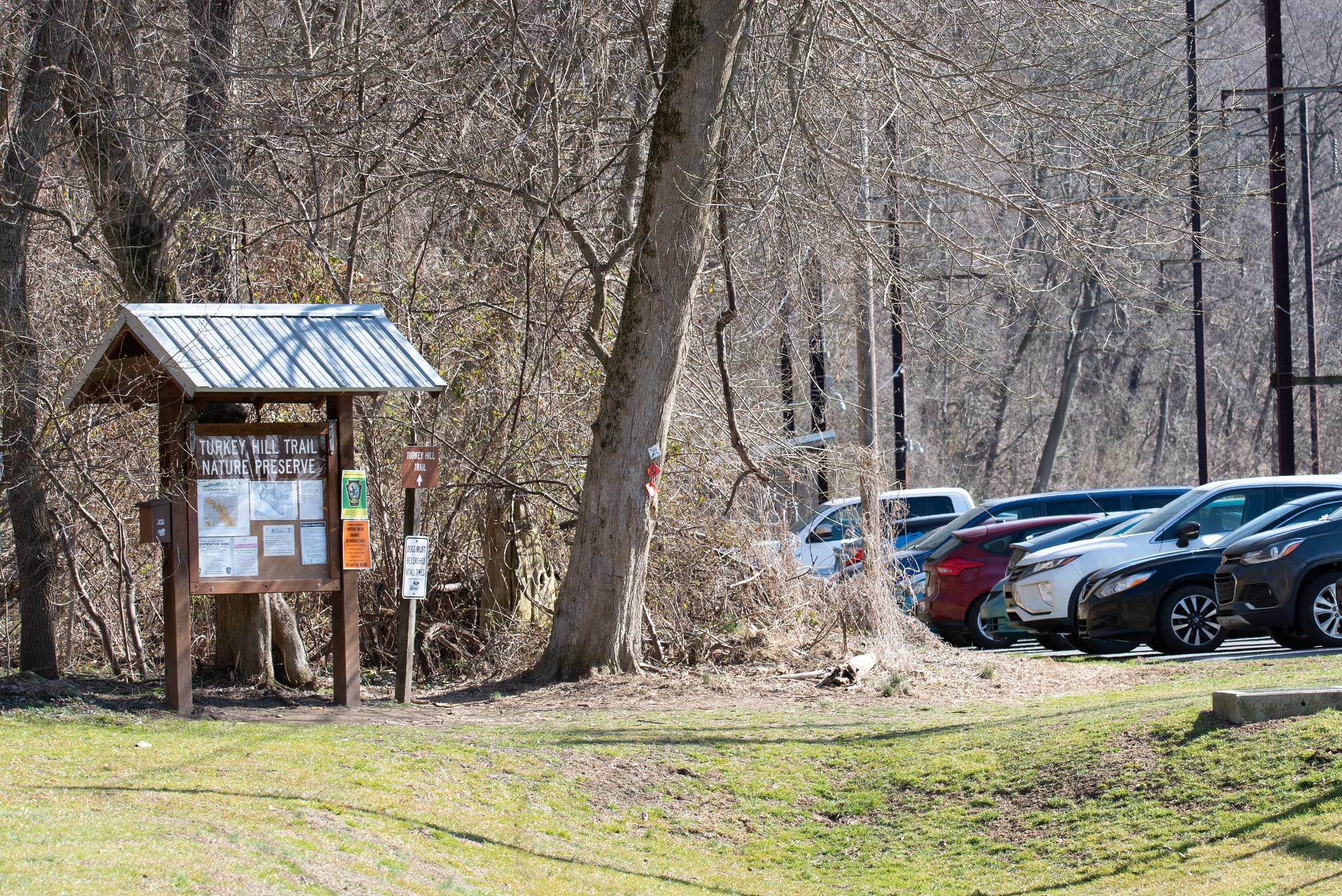
Parking and Trail Access
Map