
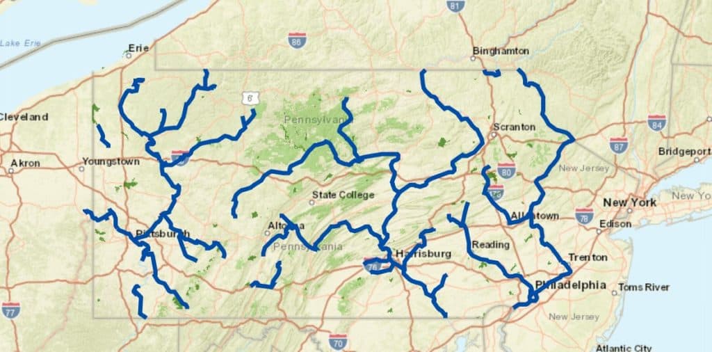
The mighty Susquehanna River is recognized in Pennsylvania for many reasons, but few identify our treasured river for its very special state recognition as Pennsylvania’s largest water trail system. The Susquehanna River Water Trail runs over 500 miles throughout the state, but what is it and why is it so important to the recreational culture in our area?
Feature Photo Credit: Joe Hainey
What’s a Water Trail?
Water Trails are not a new concept in Pennsylvania. A network of 29 water trails covering over 2,000 miles of waterway currently exists across all the major—and some minor—watersheds within the Commonwealth.
At its most basic level, a ‘water trail’ is simply a navigable trail on a waterway for the paddling public. These trails can traverse rivers, lakes, canals, and even coastlines. Some trails are specific to non-motorized boats like kayaks and canoes, while others accommodate motorized vessels, shoreline fishing, inner-tubes, and other watercraft.
These corridors provide marked launch sites and celebrate the local history, ecology, geology, heritage, and wildlife within an area. Depending on the trail you explore, you may even find day use sites, and—in some cases—overnight camping areas and support amenities.
Water trails also offer several incredible benefits to local communities, some of which include increased tourism, economic benefits, easy access to waterways for recreation, and the potential for restoration and conservation.
What is the Susquehanna River Water Trail?
The Susquehanna River Water Trail system was one of the first identified and designated within the Pennsylvania Water Trail Program. With over 500 miles of navigable waterway crossing 22 counties, it is also Pennsylvania’s largest water trail.
Because it is so large, the Susquehanna River Water Trail is divided into four manageable branches or sections based on river characteristics and major landmarks. These pieces include:
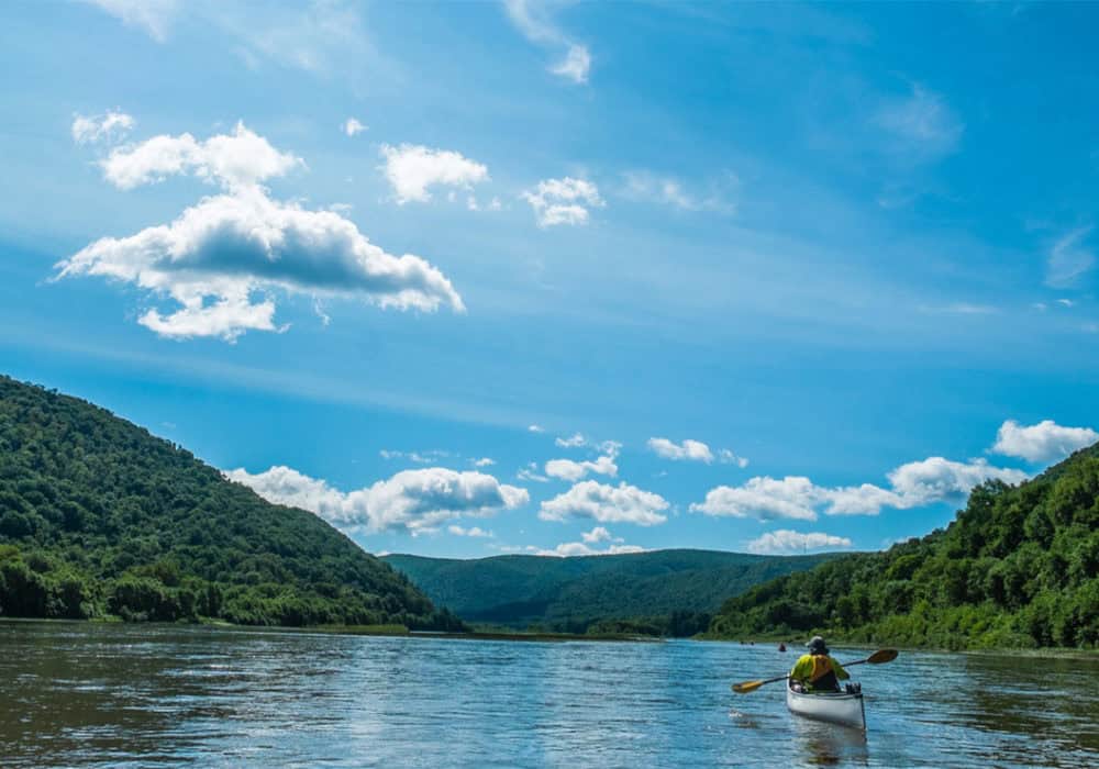
The West Branch
At 228 miles, the West Branch is the longest and most remote section of the water trail. It meanders through thick woodlands laced with remnants of lumber history, past valleys and ridges of the largest free-roaming elk herd in the Northeast, and its banks are dotted with an abundance of quaint river towns that offer the perfect starting point for any outdoor adventure.
Photo Credit: Chuck Haupt
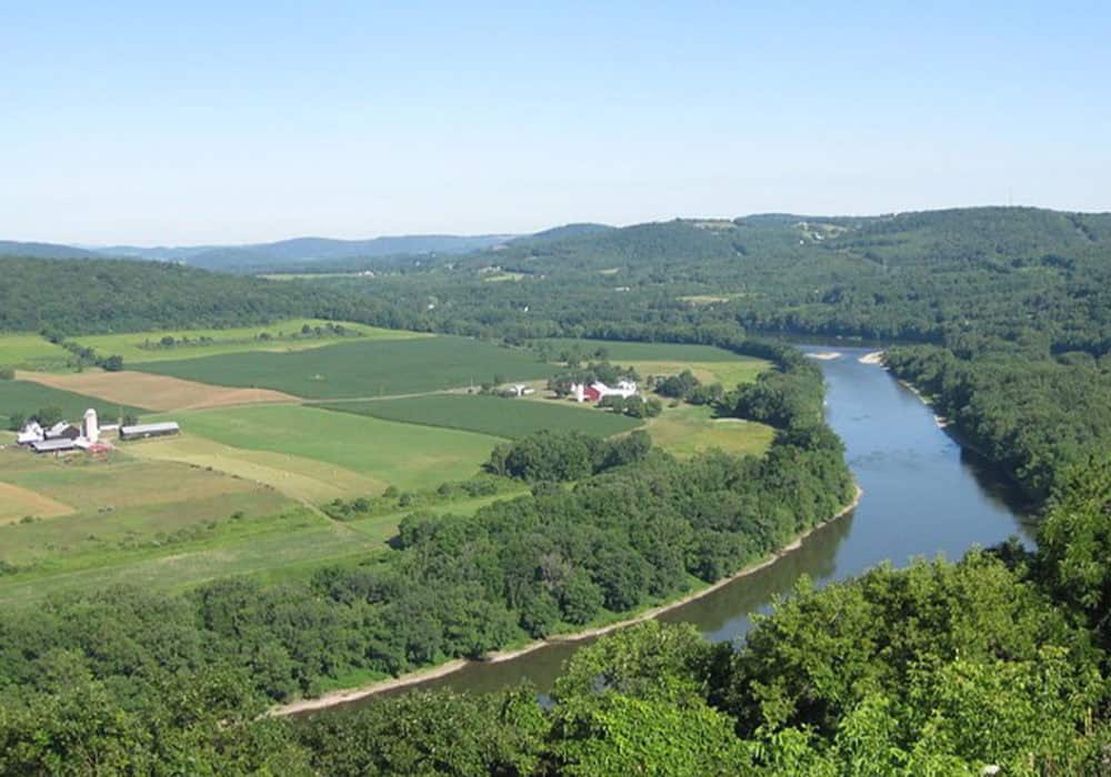
The North Branch
The North Branch is characterized by rolling meadows, forests, and farmlands, stretching 181 miles from the New York border down to the confluence with the West Branch near Sunbury. The Classic Americana river towns nestled in the valleys are great waypoints for exploring landmarks along the river that date back to early French settlements and Native American civilizations who once called these valleys home.
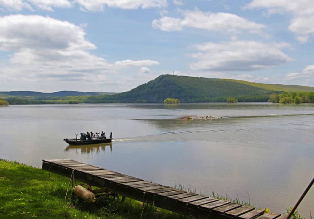
The Middle Susquehanna
Running about 50 miles from Sunbury to Harrisburg, the Middle Susquehanna stands out for its network of river islands, many of which have public campsites great for breaking up any multi-day paddling adventure. The Susquehanna River is one of the oldest rivers in the world—older than the Nile—and it shows on this section where the river carves through the Appalachian Mountain Range outside of Harrisburg. Other iconic landmarks include the Dauphin Narrows Statue of Liberty and the Rockville Bridge, the longest stone masonry arch railroad bridge in the world.
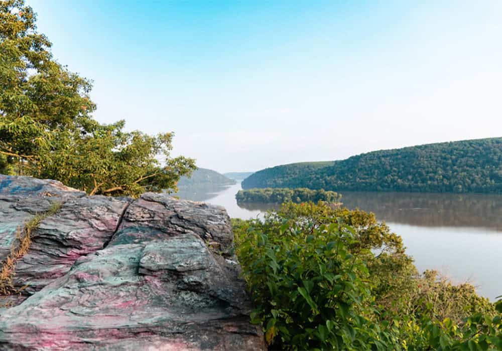
The Lower Susquehanna
Flowing another 50 miles from Harrisburg to Maryland, the Lower Section is unique for its ‘lake-like’ sections resulting from the series of hydroelectric dams. This change in landscape makes for an area teeming with recreational opportunities for all forms of boating, including sailing. Unique remnants of early Native American civilizations can also be seen in petroglyphs on boulders within the river itself.
Photo Credit: Mark Kissinger
Who manages the Susquehanna River Water Trail?
Due to the sheer size of the Susquehanna River Water Trail, the system is managed via a collaborative partnership of four nonprofit organizations, each one managing a different segment.
Manager responsibilities include the production of maps and resources to help users navigate the trail, assisting the network of launch owners in the maintenance of existing and new amenities (boat access points, signage, information, etc.), assisting communities in the establishment of new access sites, and the implementation of signage that directs users, interprets locations and historic events, and provides safety & orientation information.
This division of responsibility helps keep management regional and allow for local needs to be addressed within an appropriate timeframe. The managers of the include:

The Susquehanna Greenway Partnership manages the West Branch (in its entirety) and the Lower North Branch (Shickshinny to Sunbury).
 The Endless Mountains Heritage Region manages the Upper North Branch (the Great Bend section of the river near the New York border and from the New York border to Shickshinny).
![]() The Susquehanna River Trail Association manages the Middle Susquehanna (Sunbury to Harrisburg).
The Susquehanna River Trail Association manages the Middle Susquehanna (Sunbury to Harrisburg).
![]() The Susquehanna National Heritage Area manages the Lower Susquehanna (Harrisburg to the Maryland border).
The Susquehanna National Heritage Area manages the Lower Susquehanna (Harrisburg to the Maryland border).
What specific resources are available through the Susquehanna River Water Trail system?
MAPS: Each of the four sections of the Susquehanna River Water Trail has an extensive waterproof map and guide for exploring the river. These maps are available for sale at SGP’s Online Shop or you can call your local visitors bureau.
ITINERARIES: The Susquehanna Greenway Partnership also releases new paddling itineraries for each section of the Water Trail on their website each year. These are available at susquehannagreenway.org/water-trails.
EVENTS: Each year, the designated water trail managers host guided paddles. Visit their websites for information on upcoming events. SGP’s events may be viewed here.
VOLUNTEER OPPORTUNITIES: Want to do your part to help your favorite water trail? Each manager also offers opportunities to support their work. From adopting boat launches and island campsites to assisting with events and programs, visit their websites to learn more about how you can give back. SGP’s opportunities may be viewed here.
How is a water trail different among paddling destinations?
Just like the concept of ‘all thumbs are fingers, but not all fingers are thumbs’; all waterways in Pennsylvania can have water trails, but not all waterways are considered ‘Pennsylvania (PA) Water Trails’.
For a waterway to earn the title of a ‘PA Water Trail,’ it must first go through a multi-phased application process that includes conducting a trail feasibility study, identifying a network of launch/landing sites, producing a map, and appointing an active organization to oversee the management of the water trail that is independent of state agencies.
This process is managed by the Pennsylvania Environmental Council (PEC) with support from the PA Department of Conservation & Natural Resources (DCNR) and the PA Fish & Boat Commission (PFBC) among others.
More information on the designation process can be found at dcnr.pa.gov.
Where do I find more information on the other water trails?
For more information on the other 29 Pennsylvania’s water trails and their managers, visit www.pawatertrails.org.
The Susquehanna Greenway is a corridor of connected trails, parks, river access points, and communities, linking people to the natural and cultural treasures of the Susquehanna River. The mission of the Susquehanna Greenway Partnership is to continue to grow the Greenway by building connections along the Susquehanna River, inspiring people to engage with the outdoors, and transforming communities into places where people want to live, work, and explore.