 The Susquehanna River Water Trail is a 500-mile network of connected waterways throughout central Pennsylvania that provides access to paddling, fishing, and boating opportunities.
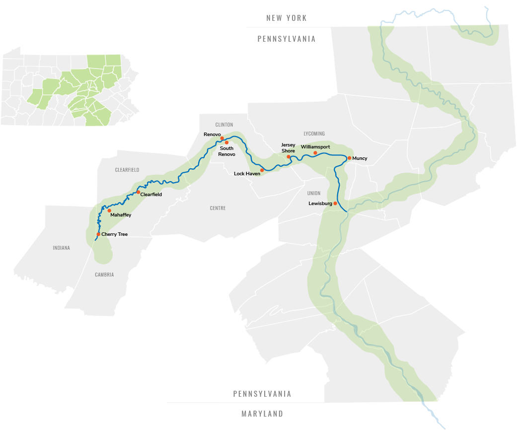
The water trail is split into four sections: the North Branch, West Branch, Middle Section, and Lower Section. Click the map to learn more about each section and explore day trip itineraries for your next river adventure!
Paddling Routes
The Susquehanna River Water Trail system has four unique sections.
Hover or click to see each section.
North Branch
West Branch
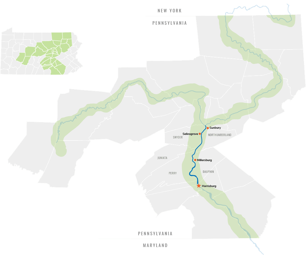
Middle Section
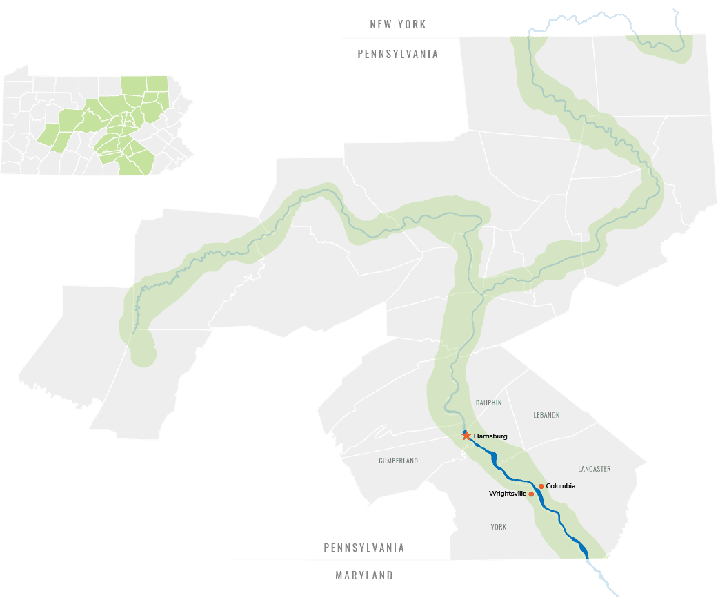
Lower Section

Paddling Routes
The Susquehanna River Water Trail system has four unique sections.
Hover or click to see each section.
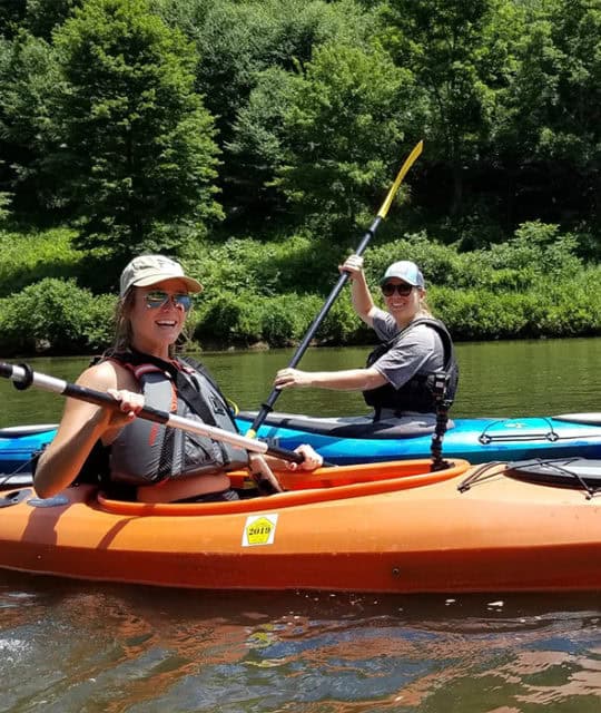
The Susquehanna River Water Trails are boat routes suitable for canoes, kayaks, and small motorized watercraft. They contain access points, boat launches, day use sites, and/or overnight camping sites for the boating public.
The Susquehanna River meanders 444 miles from its origin at Otsego lake near Cooperstown, New York until it empties into the Chesapeake Bay at Havre de Grace, Maryland. Additionally, the West Branch of the Susquehanna River starts as a narrow stream in the Allegheny Mountains, and journeys 228 miles through dense forests, rolling farmland, and historic towns to its confluence with the North Branch in Northumberland. The Susquehanna is the “mother” river to the Chesapeake, providing 50% of all the freshwater entering the great estuary.
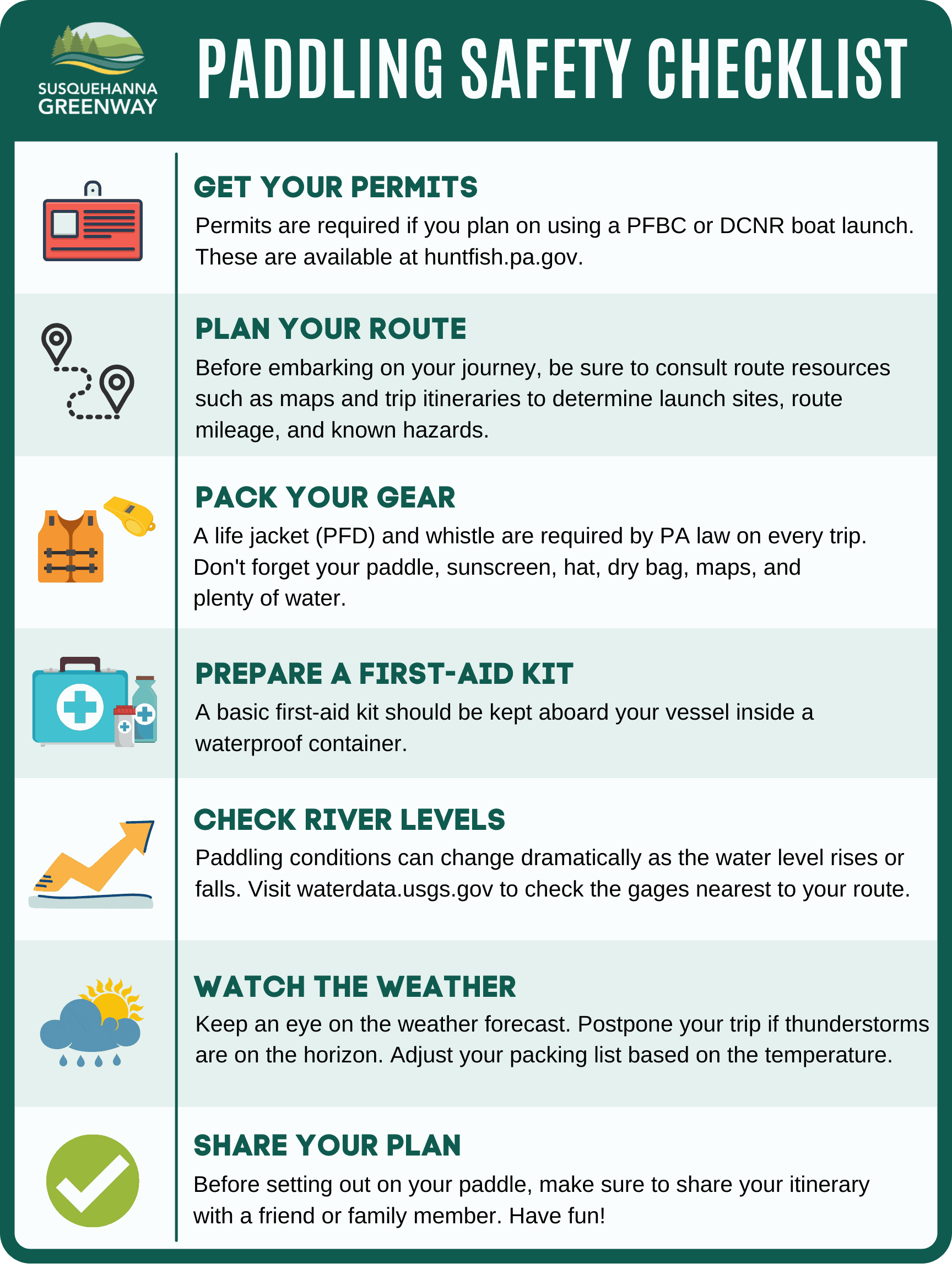
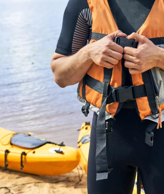
Please note that boating and other activities on rivers can be dangerous. Obtain a water trail map and guide in advance, plan your trip, and follow all safety precautions.
For detailed safety information, see the PA Fish & Boat Commission safety webpage.

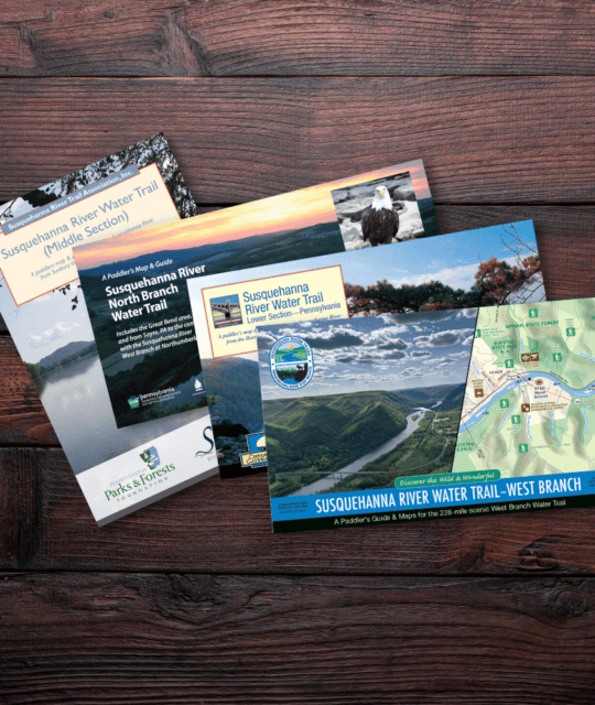
Resources
This system is also recognized as