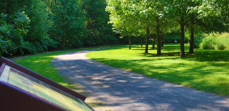


At a Glance
Williamsport Municipal Water Authority Watershed offers a variety of trails perfect for both adventurous hikers and families seeking a relaxing outdoor experience. With four trails to choose from—including two easy, family-friendly options—visitors can enjoy scenic hikes ranging from gentle walks to more challenging routes with elevation gains between 259 and 971 feet. The best times to visit these trails are March through January. You’ll need to leave pups at home — dogs aren’t allowed on this trail.
- Important: Upon visiting, you must sign in at the plant or register beforehand online.
- Be sure to follow all posted rules and avoid restricted areas to help preserve the watershed.
Description
Bluebird Trail
- Distance: 2.4 miles
- Difficulty: Easy
- Estimated time: 1-1.5 hours
- Elevation Gain: 259 ft
- Surface: dirt and gravel
- Kid friendly
Generally considered an easy route, this 2.4-mile loop takes about one hour to complete. It is a popular trail for hiking, but you can still enjoy some solitude during quieter times of day.
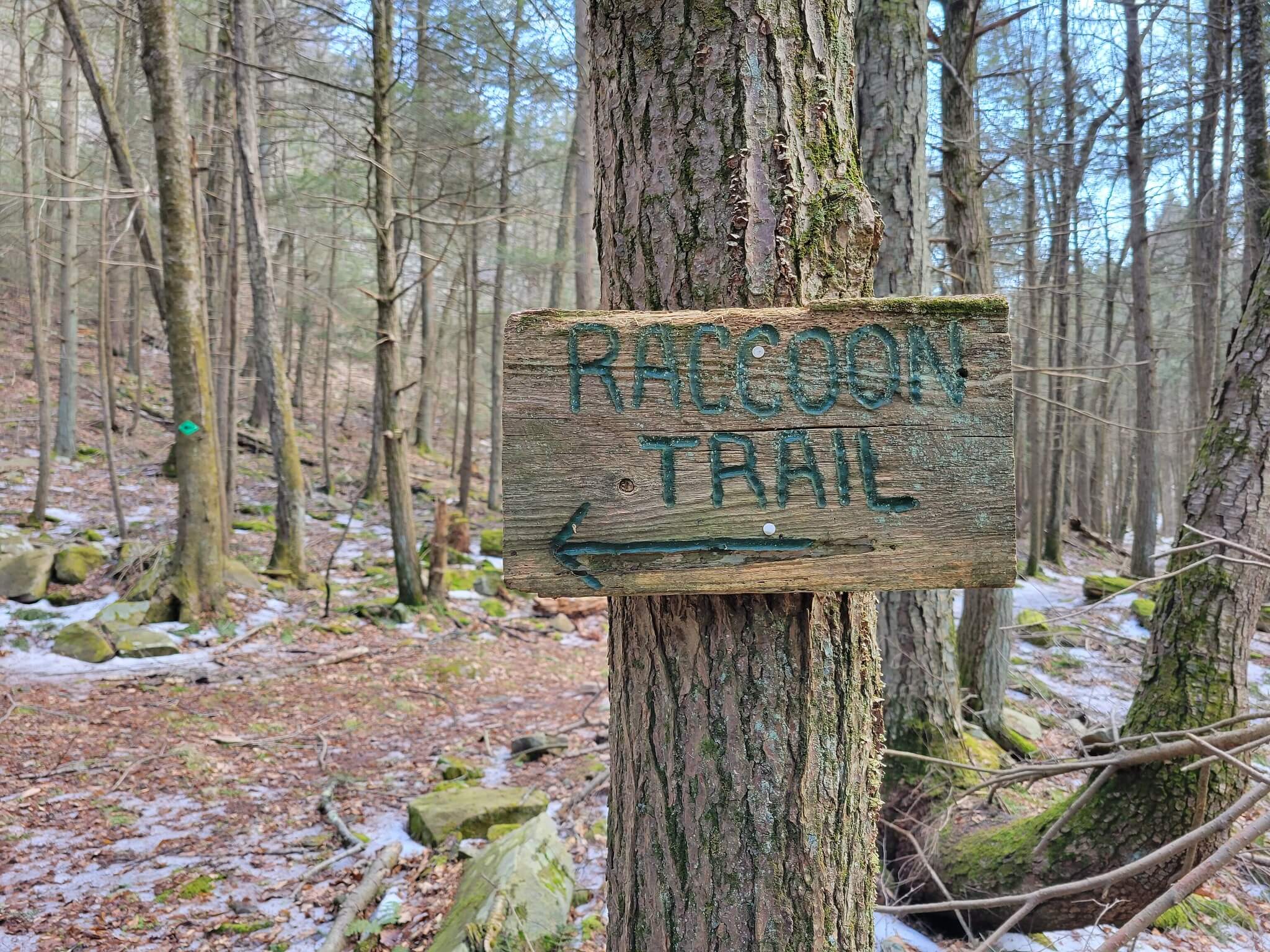
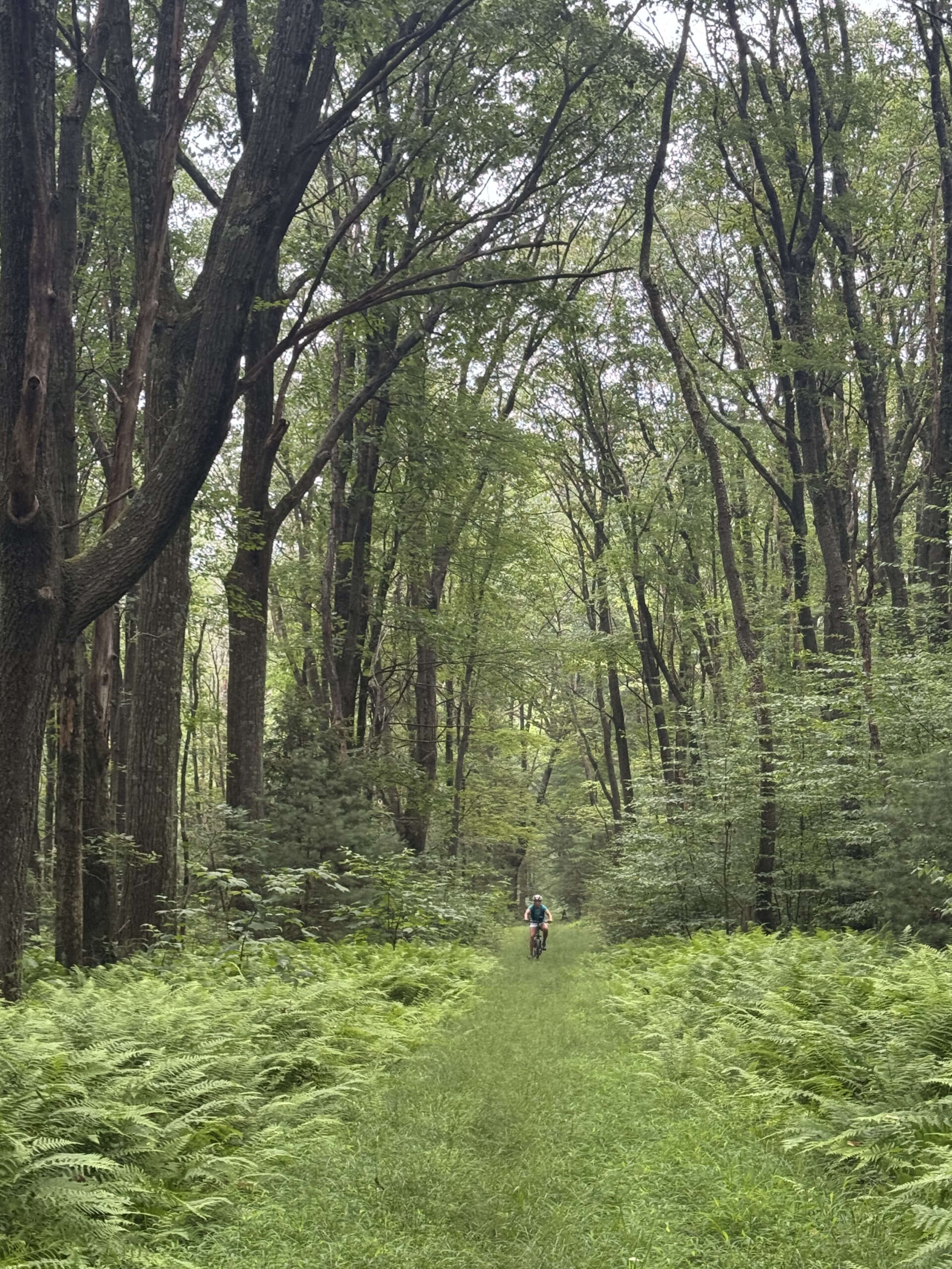
Raccoon Mountain
- Distance: 6.1 miles
- Difficulty: Moderately challenging
- Estimated time: 2-2.5 hours
- Elevation Gain: 429 ft
- Surface: double track surface, dirt, gravel, rocks
Considered a moderately challenging route, this 6.1-mile loop usually takes just over 2 hours to complete. This is a popular trail for hiking and mountain biking, but you can still enjoy some solitude during quieter times of day.
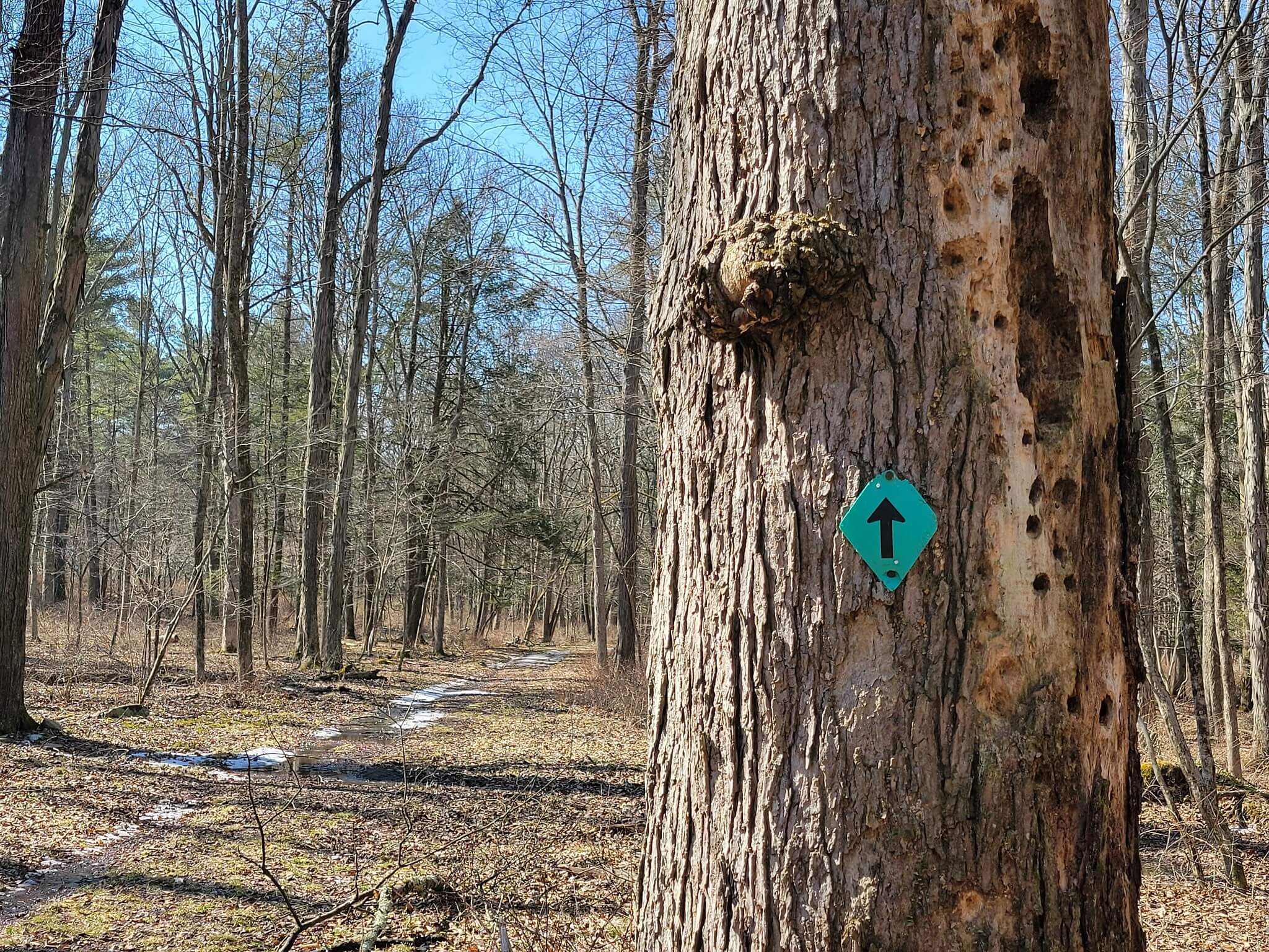
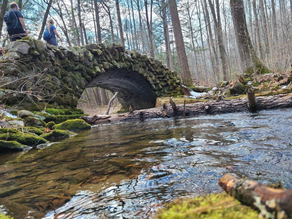
Bluebird, Aqueduct, and Stonewall Trail Loop
- Distance: 3 miles
- Difficulty: Easy
- Estimated time: 1-1.5 hours
- Surface: dirt, rocks, muddy sections
- Elevation Gain: 301 ft
This 3.0-mile loop trail is rated as an easy route, taking an average of just over one hour to complete. This trail is great for hiking and running, and it’s unlikely you’ll encounter many other people while exploring.
Pocawanachi Loop
- Distance: 6.4 miles
- Difficulty: Moderately challenging
- Estimated time: 3-3.5 hours
- Surface: dirt, rocks, roots
- Elevation gain: 971 ft
This 6.4-mile loop trail is a moderately challenging route and usually takes about 3 hours to complete. This trail is great for birding, hiking, and running, and it’s unlikely you’ll encounter many other people on your journey.
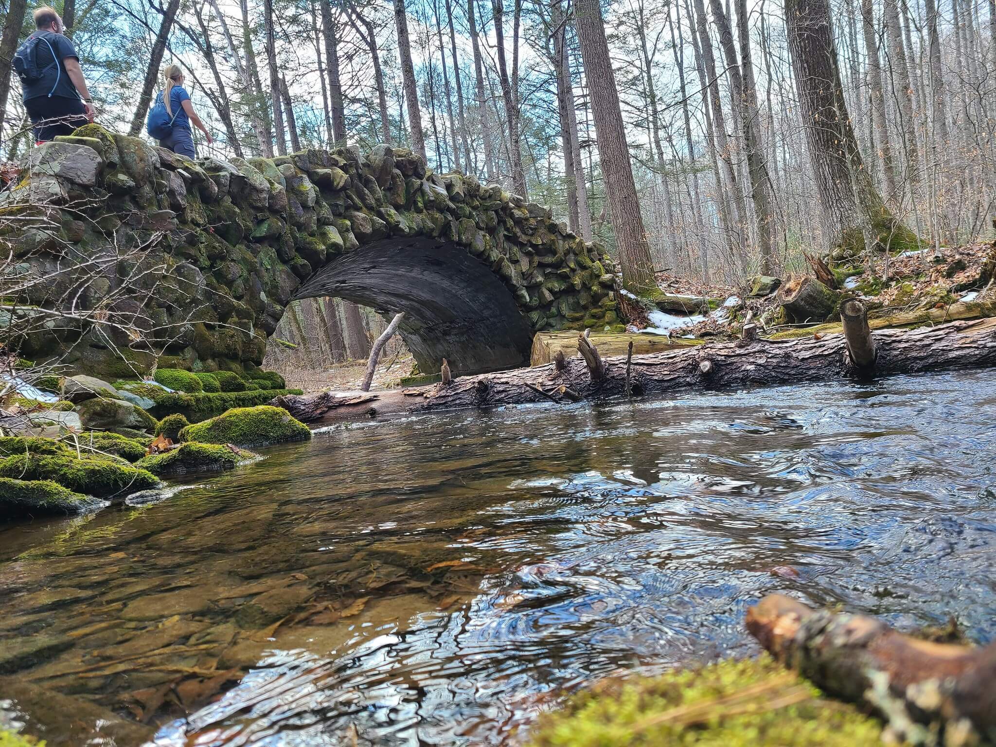
Parking & Trail Access
At the intersection of Route 654 and Valley St. In Duboistown head south. Valley St. Turns into Jacks Hollow Rd. Turn left on Mosquito Valley Rd. Stay left at the split over the bridge and continue to the gate at the Williamsport Water Authority. Park in the designated lot on the left inside the gate.
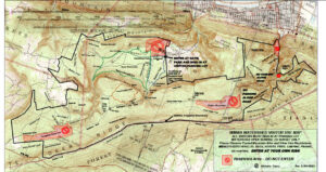
Maps