At a Glance
The Lycoming Creek Bikeway offers a variety of trail experiences perfect for both active runners and families seeking a relaxing outdoor walk or bike ride. Spanning 5.3 miles from point to point between Hepburnville and Williamsport, visitors can enjoy a scenic, mostly flat route that follows Lycoming Creek along a historic former railroad corridor. The paved path provides easy access to several local parks, community green spaces, and beautiful vintage steel bridges. The best times to visit these trails are year round for convenient, multi use recreation.
Description
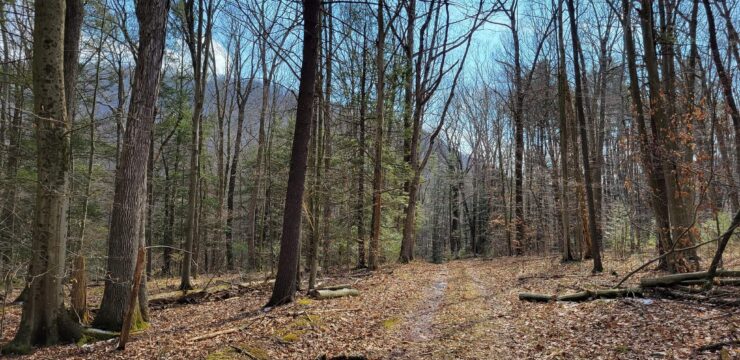
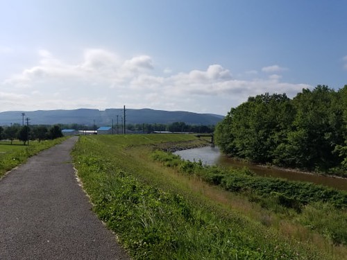
The Lycoming Creek Bikeway is a paved, point to point trail that runs between Hepburnville and Williamsport. The 5.3-mile bikeway follows Lycoming Creek and the former Penn Central Railroad corridor and is mostly flat without any significant changes in elevation. The pathway was once a part of Native American Lagahani Trail, a major transportation route that connected central Pennsylvania and the towns of Elmira and Corning, New York. Today, it is one of the 1,600 rail-trails in the U.S.
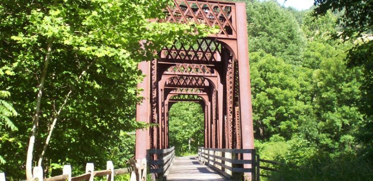
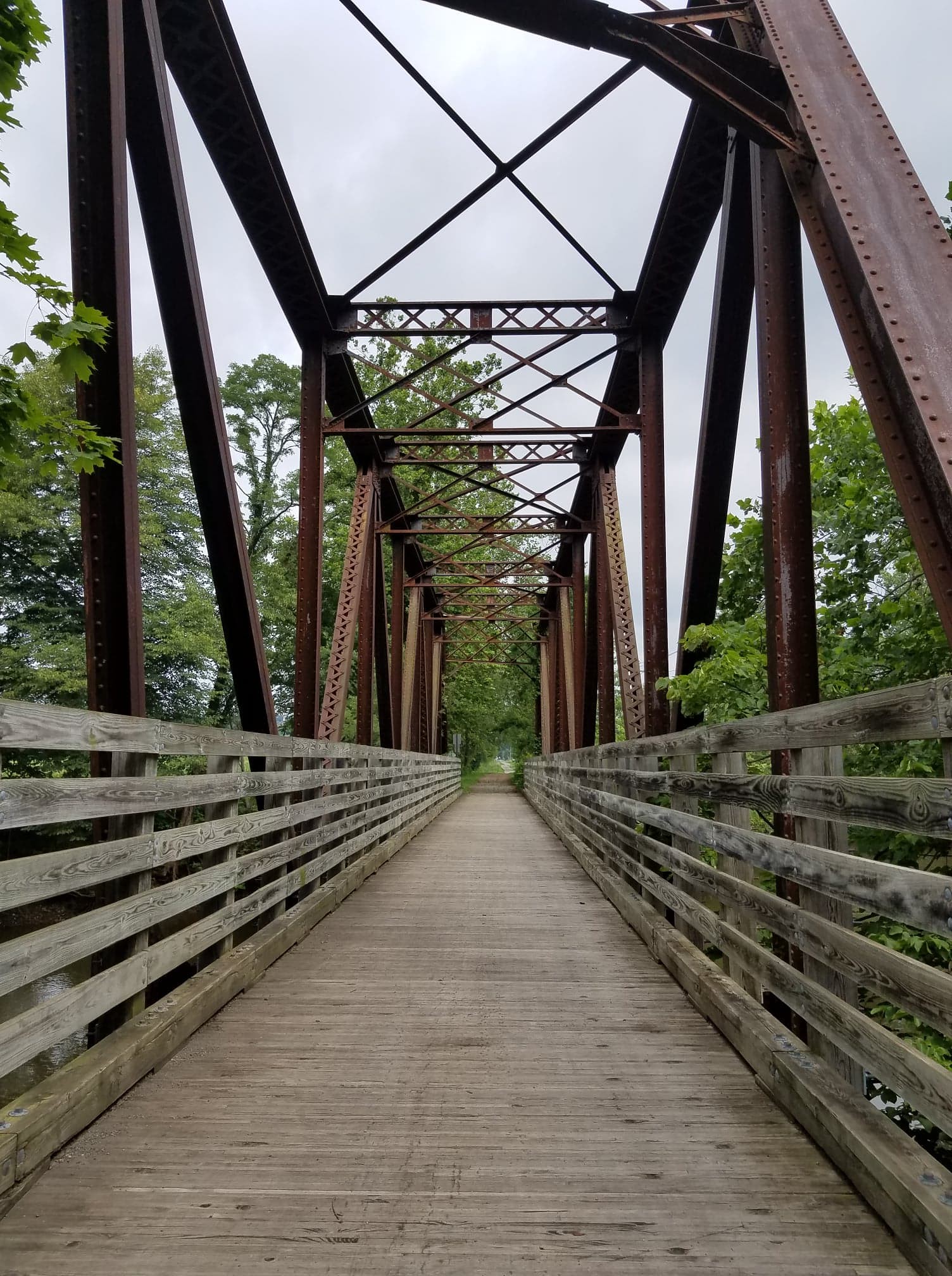
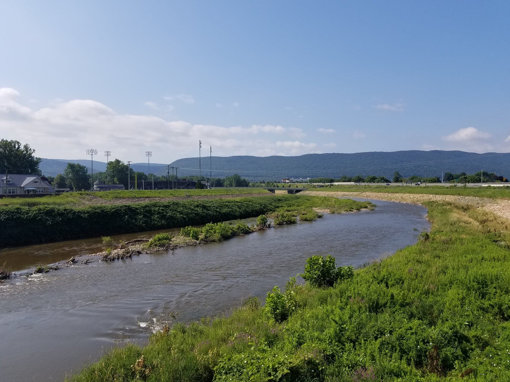
At the Northern end, the trail begins between a woodlot and a local community park located along West Creek Road before opening to farm fields of grass and corn. As the trail progresses southward, it crosses over the winding Lycoming Creek several times, utilizing old railroad bridges including a beautiful 1901, vintage steel bridge at mile 1.7.
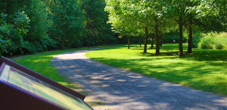
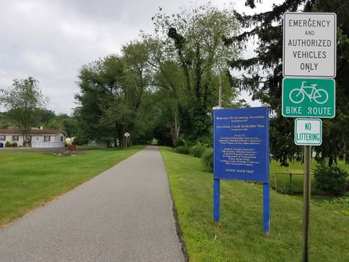
The trail continues, passing through residential communities and connecting numerous local parks including Heshbon Park, Old Lycoming Park & Baseball Field, Memorial Park, and Elm Park. Heshbon Park is an ideal resting point with restrooms, a pavilion with picnic tables, and a drinking fountain available for public use. At Mile 3.7, the trail begins to parallel US-15 for a short distance before ending at Memorial Avenue in Williamsport. To continue, take a left on Memorial Avenue, go over the bridge and turn right to get back onto the trail. The trail ends at West 3rd Street near another old railroad bridge.

Parking and Trail Access
To Start from Williamsport
From Route 15 Northbound, take the W 3rd St exit and turn left. Turn right on Arch St and right again on W 4th St. Cross over Lycoming Creek and take your first left into Bowman Field. The trail may be accessed by traveling back along 4th St to the dyke where the trail crosses.
From Route 15 Southbound, take the W 4th St exit and turn left. Cross over Lycoming Creek and take your first left into Bowman Field. The trail may be accessed by traveling back along 4th St to the dyke where the trail crosses.
To Start from Heshbon Park
From Route 15 Northbound, take exit 137 for Lycoming Creek Rd. Follow Lycoming Creek Rd to Heshbon Rd and turn left. Follow Heshbon Rd for roughly 1 mile and turn right. The trail may be accessed by taking the path across the park.
From Route 15 Southbound, take the Rt 973- Lycoming Creek Rd exit and turn right. Follow Lycoming Creek Rd and turn right to stay on Lycoming Creek Rd. Continue through Hepburnville and turn right onto Heshbon Street. Continue for roughly half a mile and turn left. The trail may be accessed by taking the path across the park.
To Start from Hepburnville
From Route 15 Northbound, take the Beauty Run Road exit and turn right. Turn left onto 973-Lycoming Creek Road. Continue over the Lycoming Creek bridge and turn left onto West Creek Road. Parking will be on the right-hand side next to the baseball field.
From Route 15 Southbound, take the 973-Lycoming Creek Road exit and turn left. Continue on 973-Lycoming Creek Road until you pass Cogan Station Tire and Auto Center then turn left onto Bair Drive. Continue through West Creek Road to access parking at the baseball field.
The trail can also be accessed from the various parks that reside along it. Old Lycoming Park & Baseball Field, Memorial Park, and Elm Park all have available parking.
Map