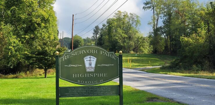

At a Glance
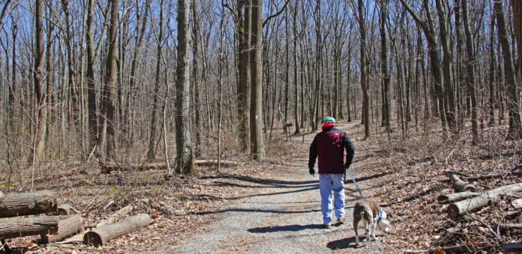
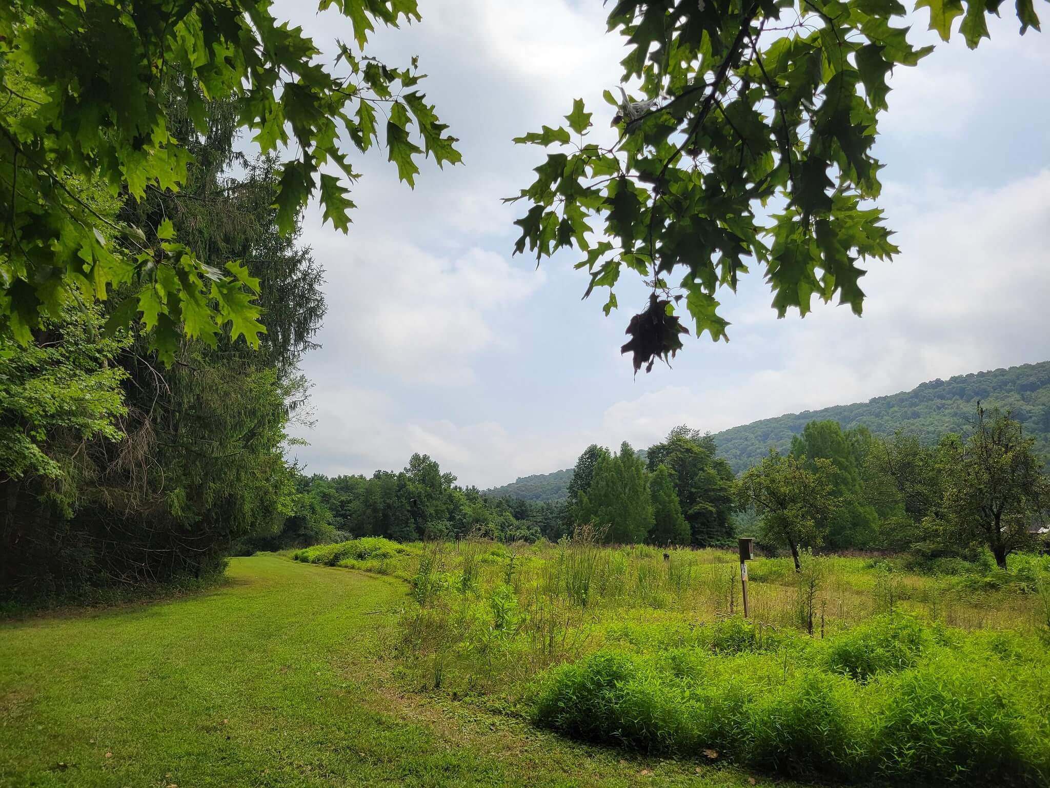
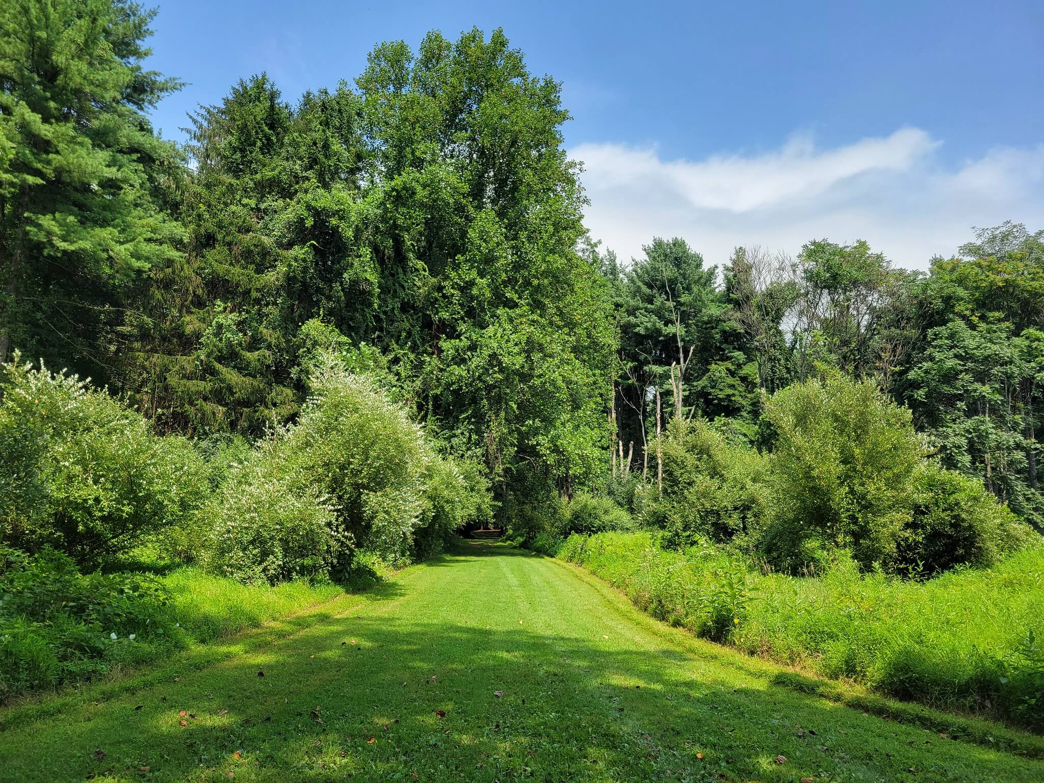
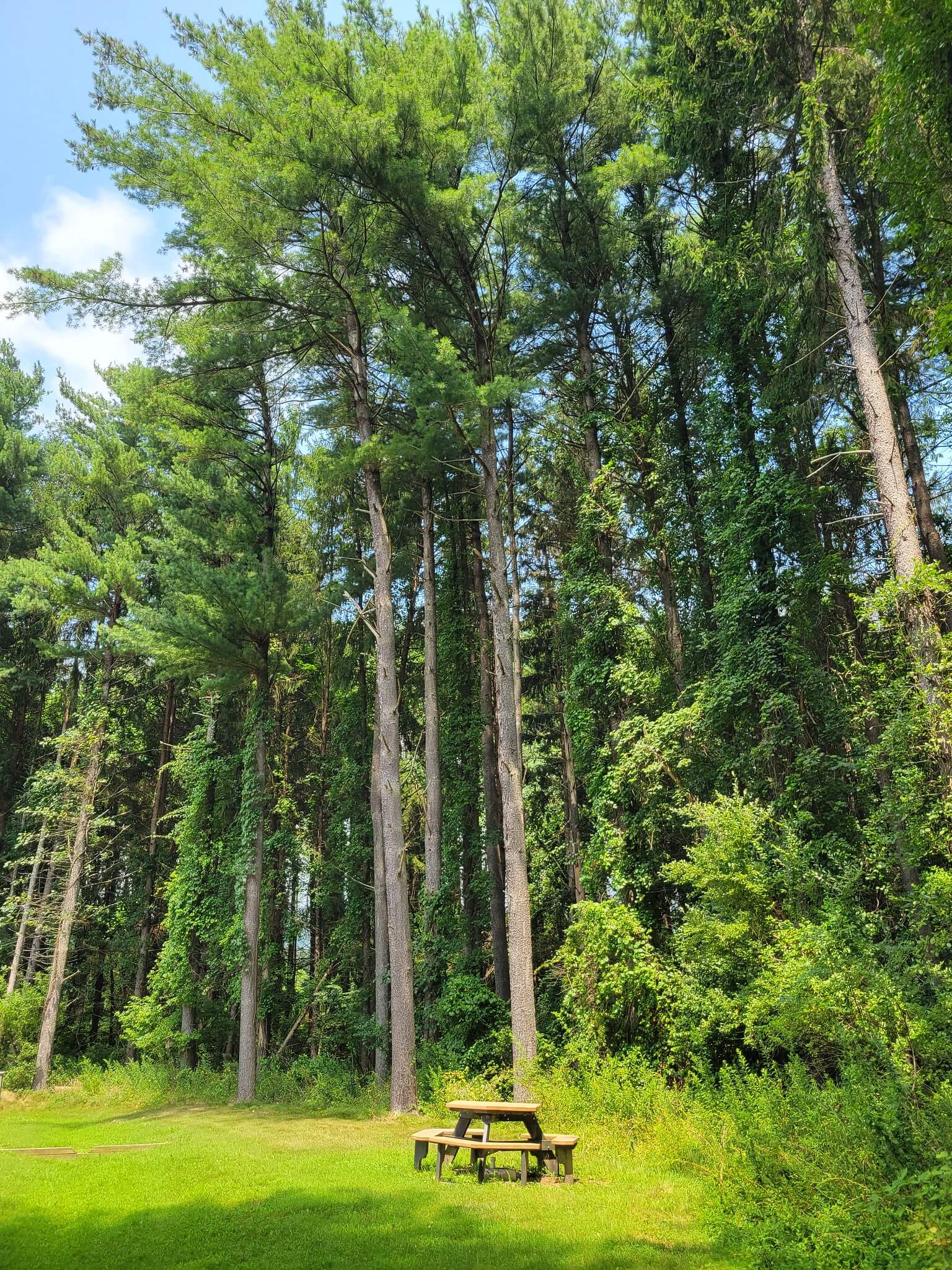
Detweiler Park is the largest of eight public parks owned and managed by the Dauphin County Parks & Recreation Department. This biologically diverse area features a variety of ecosystems, including gardens, open fields, meadows, evergreen plantations, and mature deciduous forests—all of which can be experienced along the park’s five main trails.
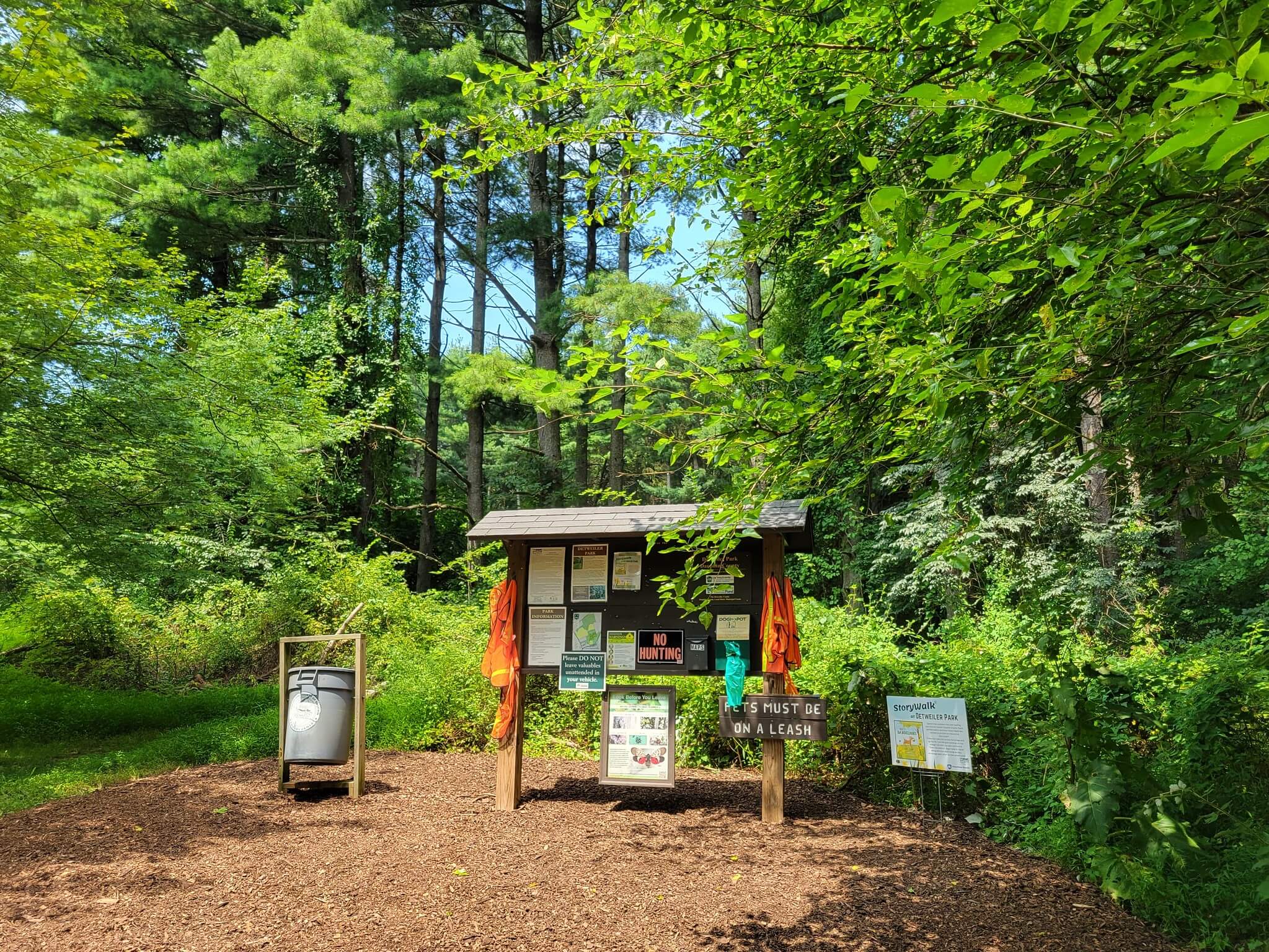
Visitors can also enjoy the StoryWalk®, an interactive outdoor reading experience, open daily from dawn to dusk. For everyone’s safety and to preserve the natural environment, please stay on marked trails and be respectful of wildlife and fellow park-goers.
Description
Stackpole Loop
- Distance: 0.4 miles
- Difficulty: Moderate
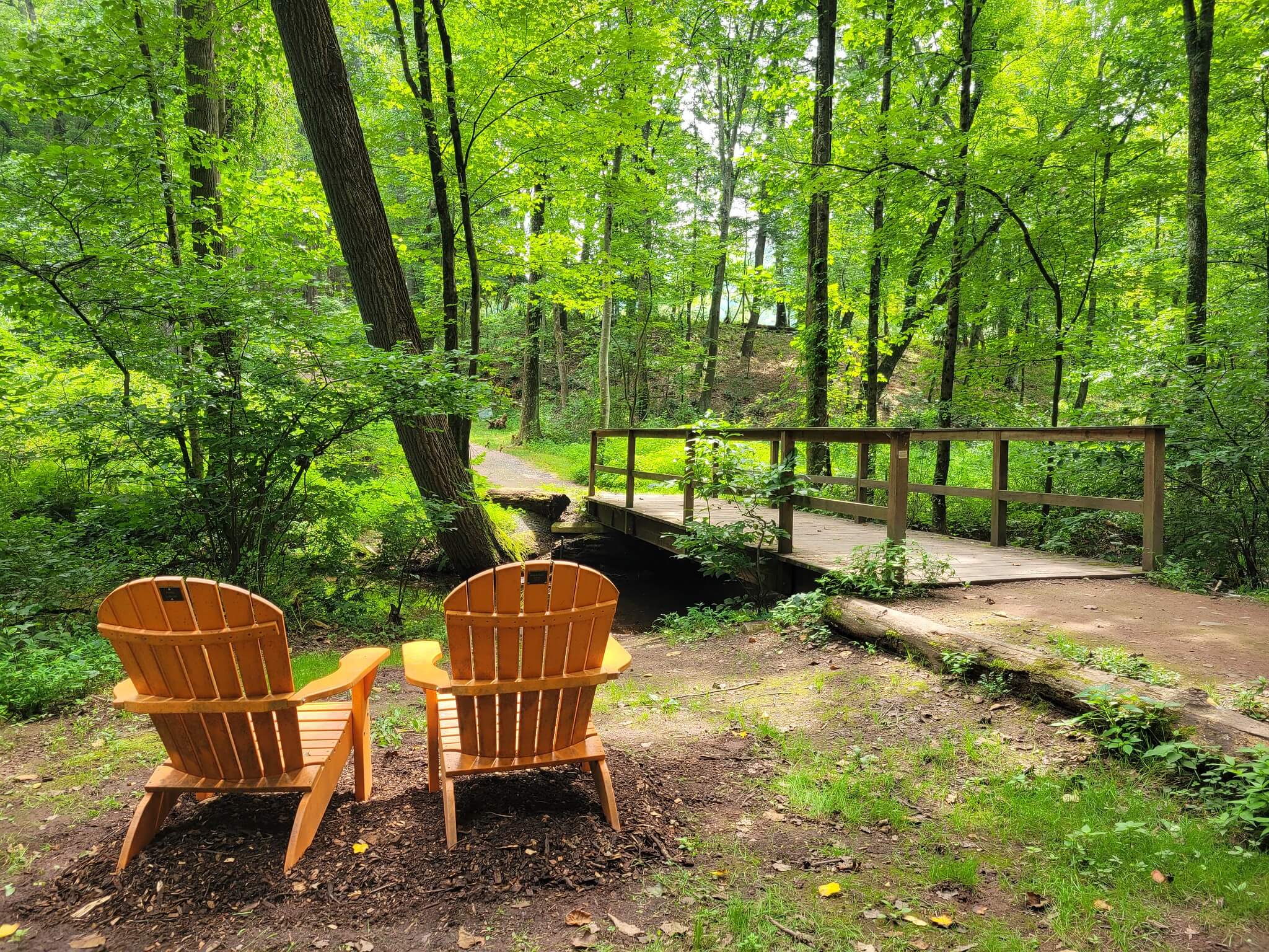
The Stackpole Trail, also referred to as the main trail, begins at the trailhead parking area and crosses the creek on a bridge. It connects to other trails and has a spur leading to the Airstrip Loop. A restroom is located at the east end where it joins David’s Field Loop and Frankie’s Dogleg Loop. (Those looking for an easier walk can take the shortcut from Stackpole trail to the Airstrip loop, a 1.5 easy hike around a field.)
Airstrip Loop
- Distance: 1.4 miles
- Difficulty: Easy
- Blazes: Blue
The Airstrip loop encircles a beautiful meadow that once served as an airfield. Look for common milkweed along with a variety of meadow songbirds and insects along the trail. There are two access points to this trail. One is from the Mountain Loop along the east side of the field; a second is a spur from the Stackpoole Trail in the southeast corner of the field.
Meade’s Mountain Loop
- Distance: 1.6 miles
- Difficulty: Most difficult
- Blazes: Red
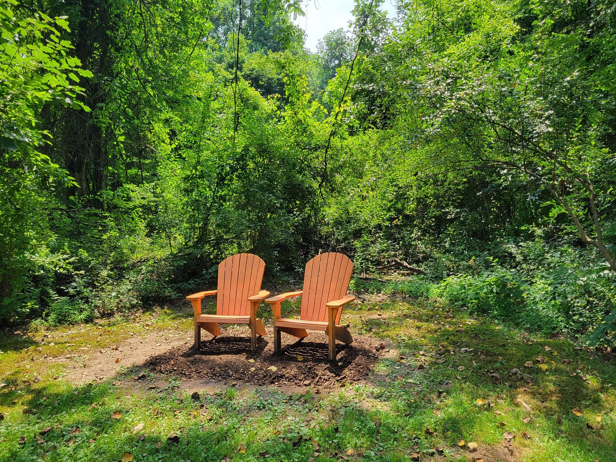
Etched into the side of Peter’s Mountain, Meade’s Mountain Loop has an elevation change of around 500 ft. Rest in Adirondack chairs after the climb and look for groves of pawpaw trees along the eastern side of the trail. Exposed rocks and wet areas create a challenging hike. There are two access points to this trail: on the west from the Airstrip Loop and on the east from David’s Field Loop. This is a difficult hike with a steep slope climb that avid hikers will enjoy.
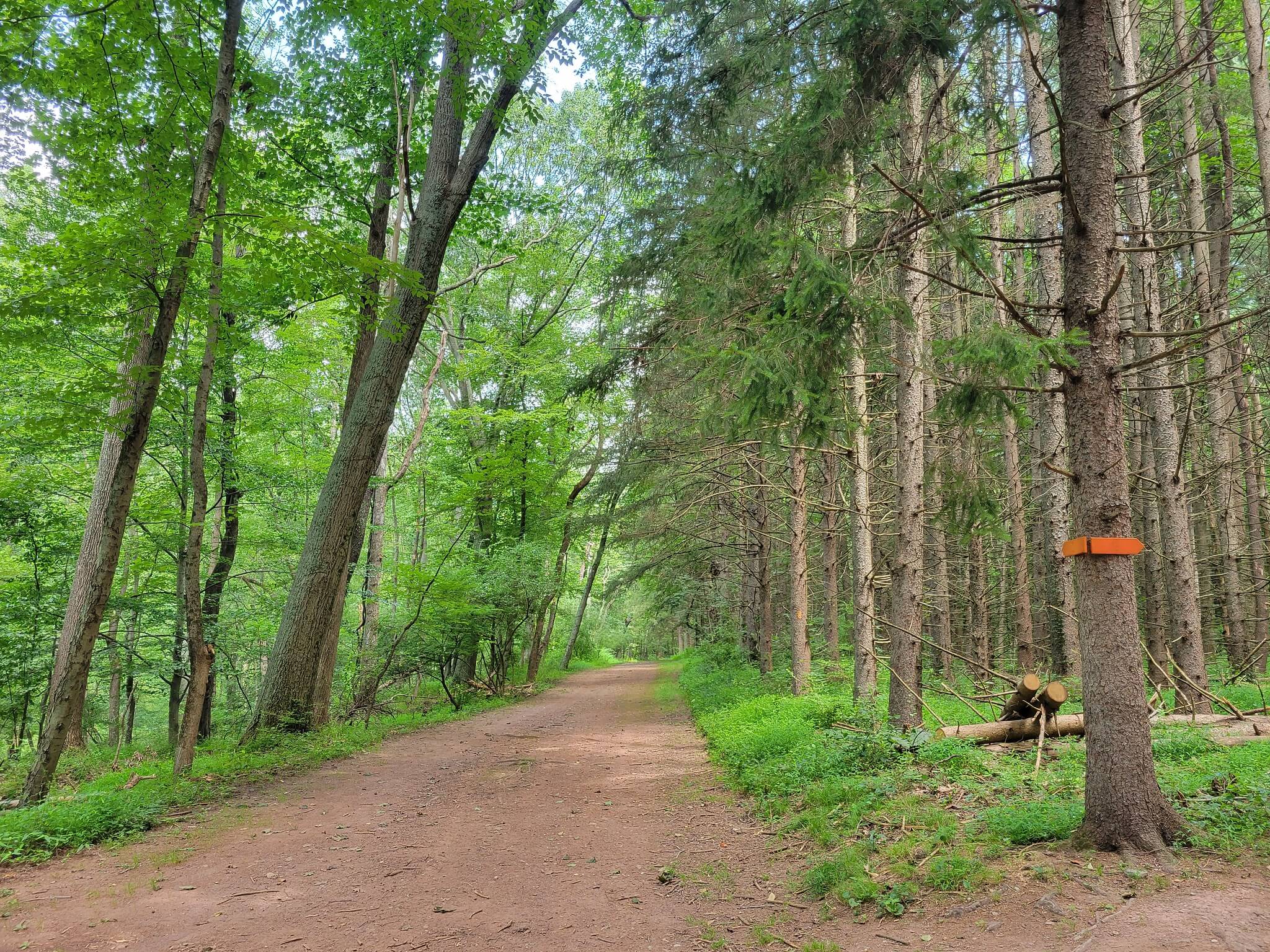
David’s Field Loop
- Distance: 1.6 miles
- Difficulty: Easy
- Blazes: Orange
David’s Field Loop encircles the east field with its panoramic views and a forest with diverse trees including white pine and sassafras. Look for deer in the field and a variety of wildlife from red squirrels to pileated woodpeckers in the forest. Many exposed tree roots pose tripping hazards on this trail. It connects to the Stackpole Trail, Meade’s Mountain Loop and Frankie’s Dogleg Loop. Secondary trails of various lengths run through David’s Field Loop. Discover a small stand of larch trees and explore the secret meadow.
Frankie’s Dogleg Loop
- Distance: 0.8 miles
- Difficulty: Moderate
- Blazes: Yellow
The Dogleg Loop circles the old Detweiler residence. Various songbirds can be heard in the meadow and stream habitats, and American holly grows along the south side of the loop. The southeast section of the trail holds water from springs making this area very wet for the majority of the year. It meets the Stackpole Trail near the bridge and joins the southwest corner of David’s Field Loop.
Storywalk® at Detweiler Park
The StoryWalk® at Detweiler Park offers a unique outdoor experience that combines reading with nature. Funded by the Penn State Health Community Relations Grant, it features storybook pages displayed along scenic trails, with stories that change seasonally. Designed for families and children, the attraction promotes literacy, physical activity, and a connection with nature through interactive prompts and activities. Open year-round, it provides an engaging way to enjoy the outdoors while nurturing a love for books.
Parking & Trail Access
Detweiler Park can be accessed via a parking lot located at 1451 Peters Mountain Road, Dauphin, PA 17018. From US 322, take the Peters Mountain Rd (SR 225) exit, and the parking lot will be 1.8 miles ahead on the right. This parking area provides access to Stackpole Trail, which leads into the main trails of the park. There are no restrooms at the trailhead, but porta potties are available at the first main trail junction after the creek bridge crossing.
Maps