


At a Glance
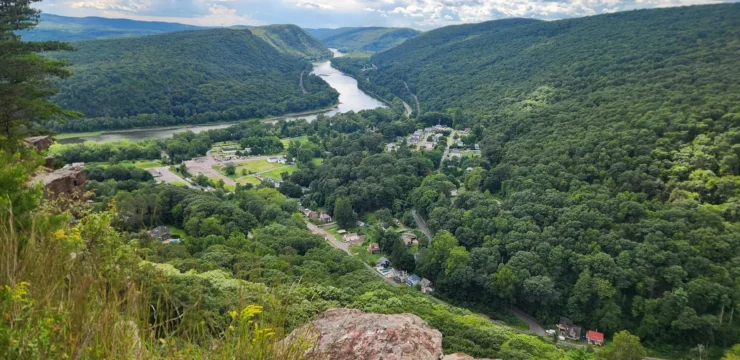
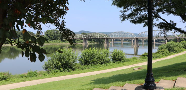
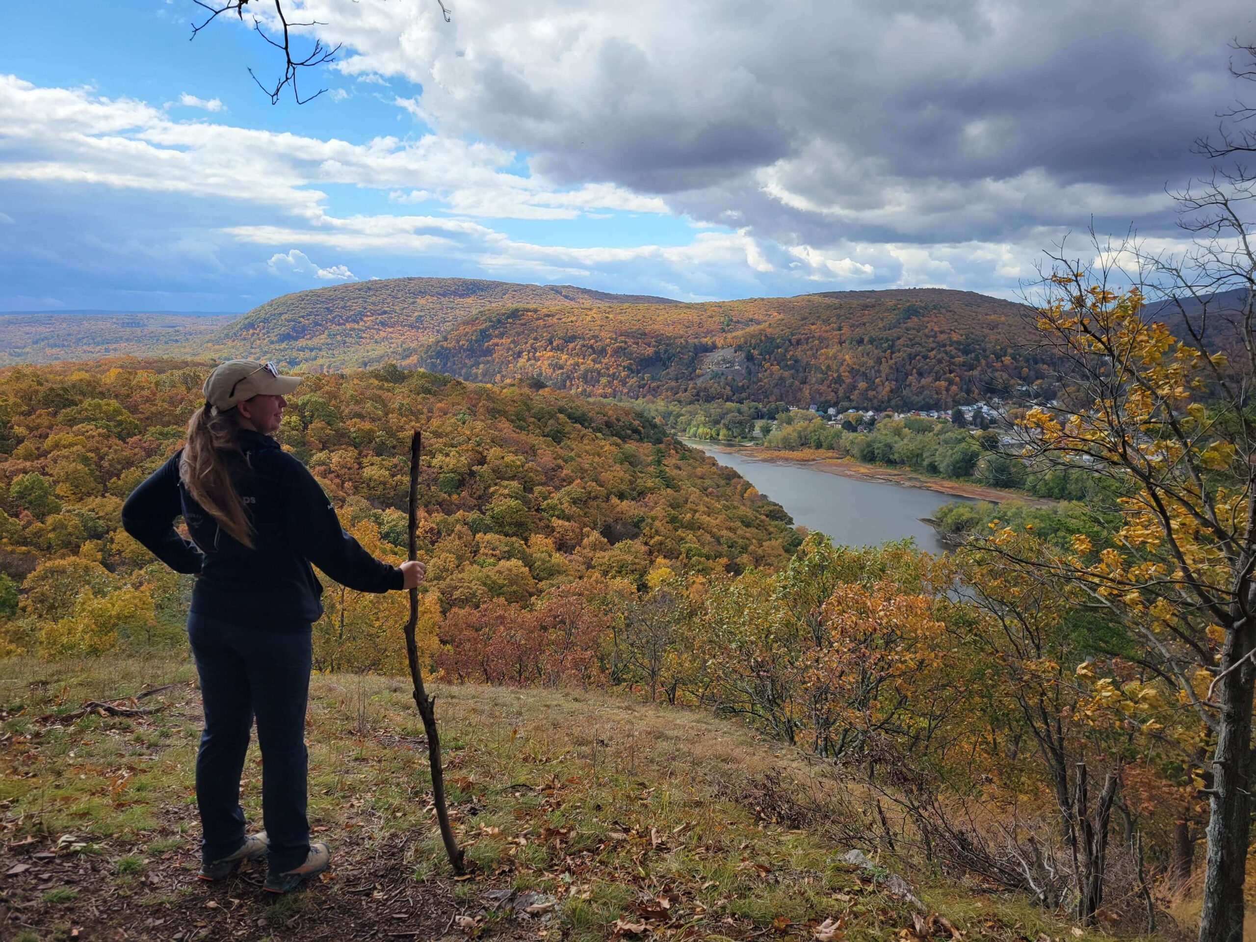
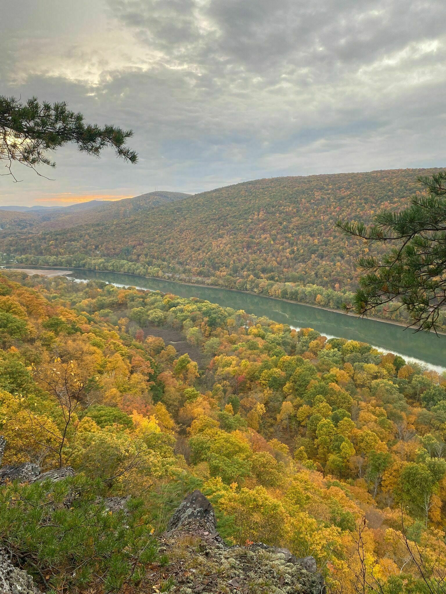
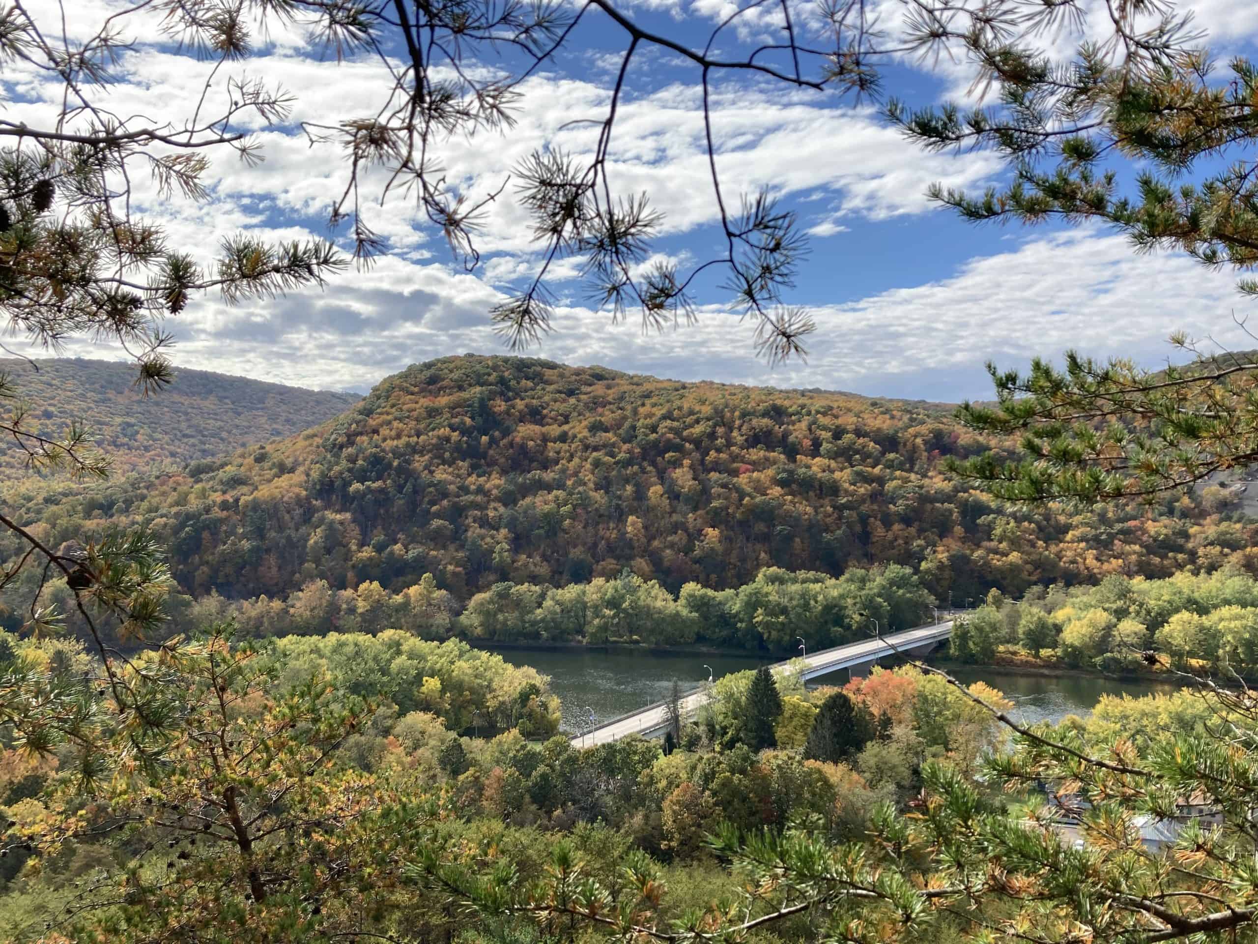
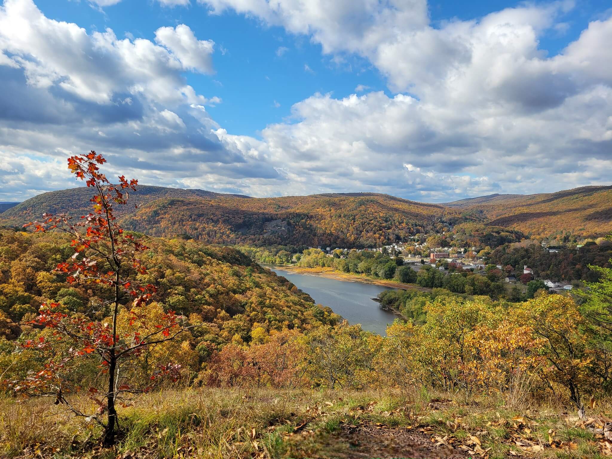
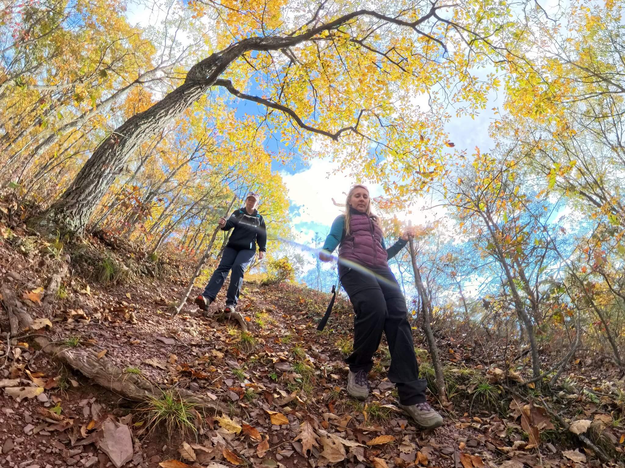
Tucked into the forested hills above the Susquehanna River, the Mocanaqua Trail offers an adventurous escape through 15 miles of rugged, scenic terrain. This network of looping trails winds across the northern slope of Penobscot Mountain, rewarding hikers with sweeping river views, quiet woodlands, and remnants of the region’s coal mining past. Whether you’re chasing a short two-mile stroll or a full-day trek, the Mocanaqua Trail delivers a taste of wild Pennsylvania beauty just waiting to be explored.
Description
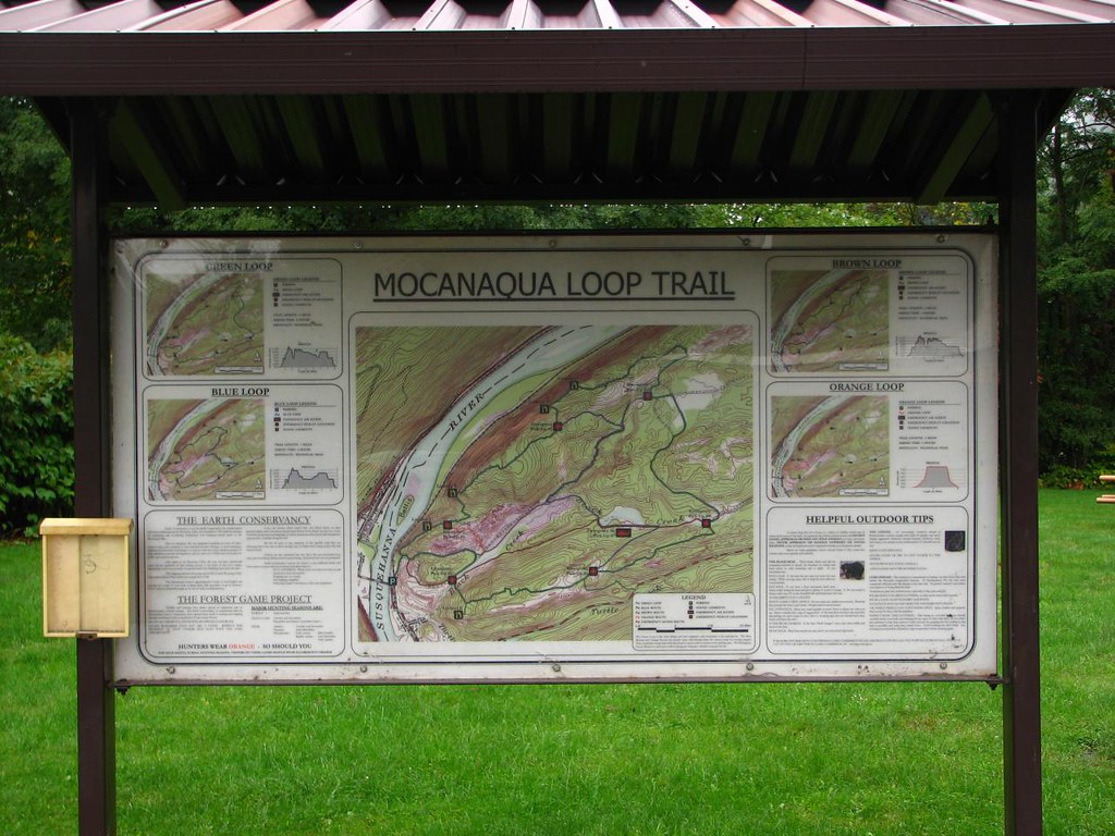
Located in the historic Wyoming Valley of northeastern Pennsylvania, the original Moc Loop, as it is familiarly known, is actually a system of four individual trails, comprising about 15 miles along the northern reach of Penobscot Mountain:
- 2-mile Orange Loop
- 6-mile Brown Loop
- 7-mile Blue Loop
- 8-mile Green Loop
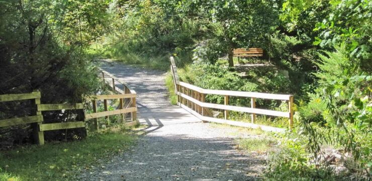
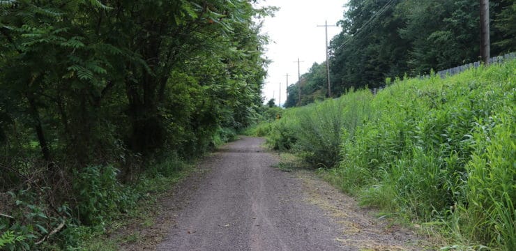
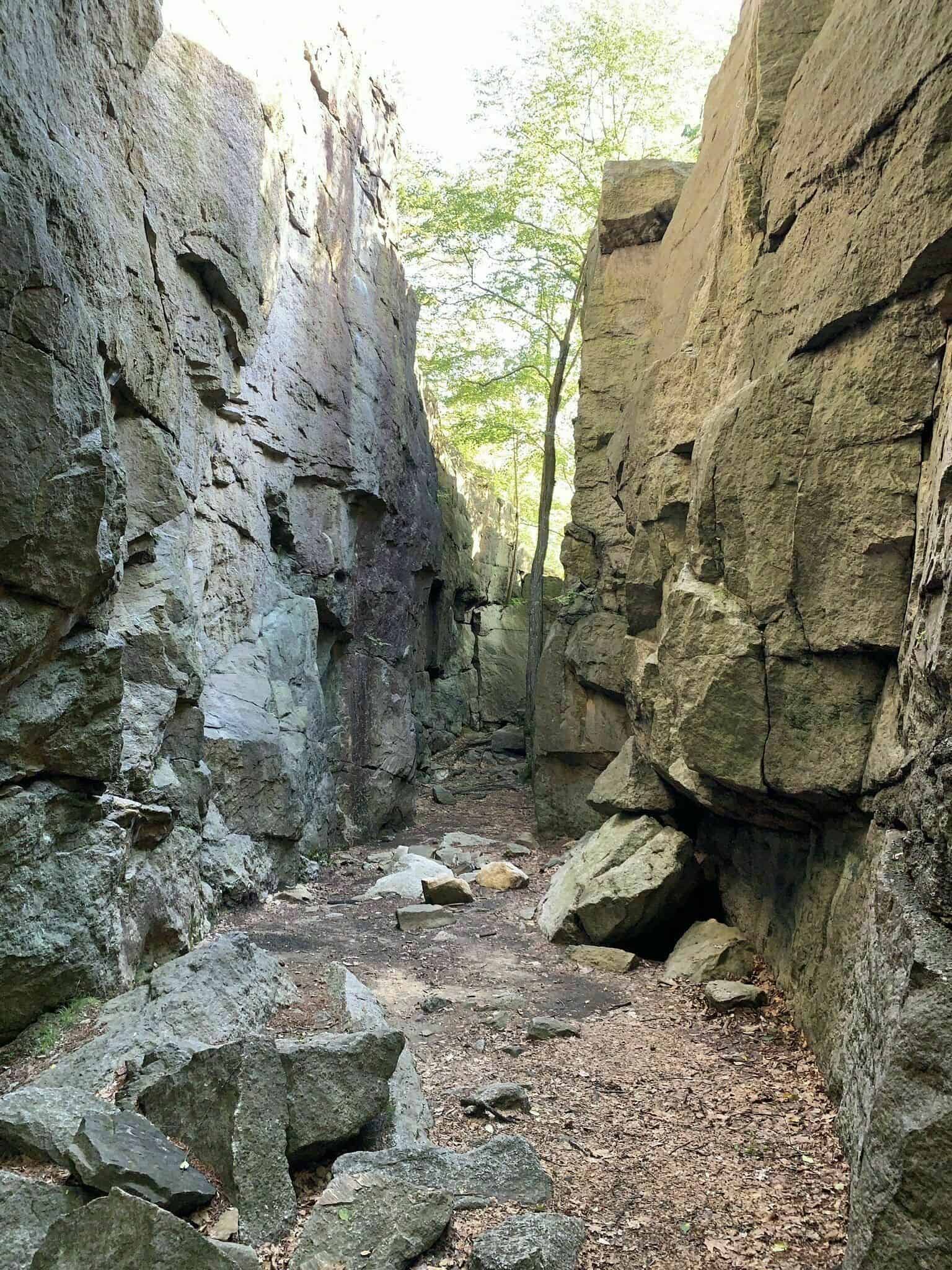
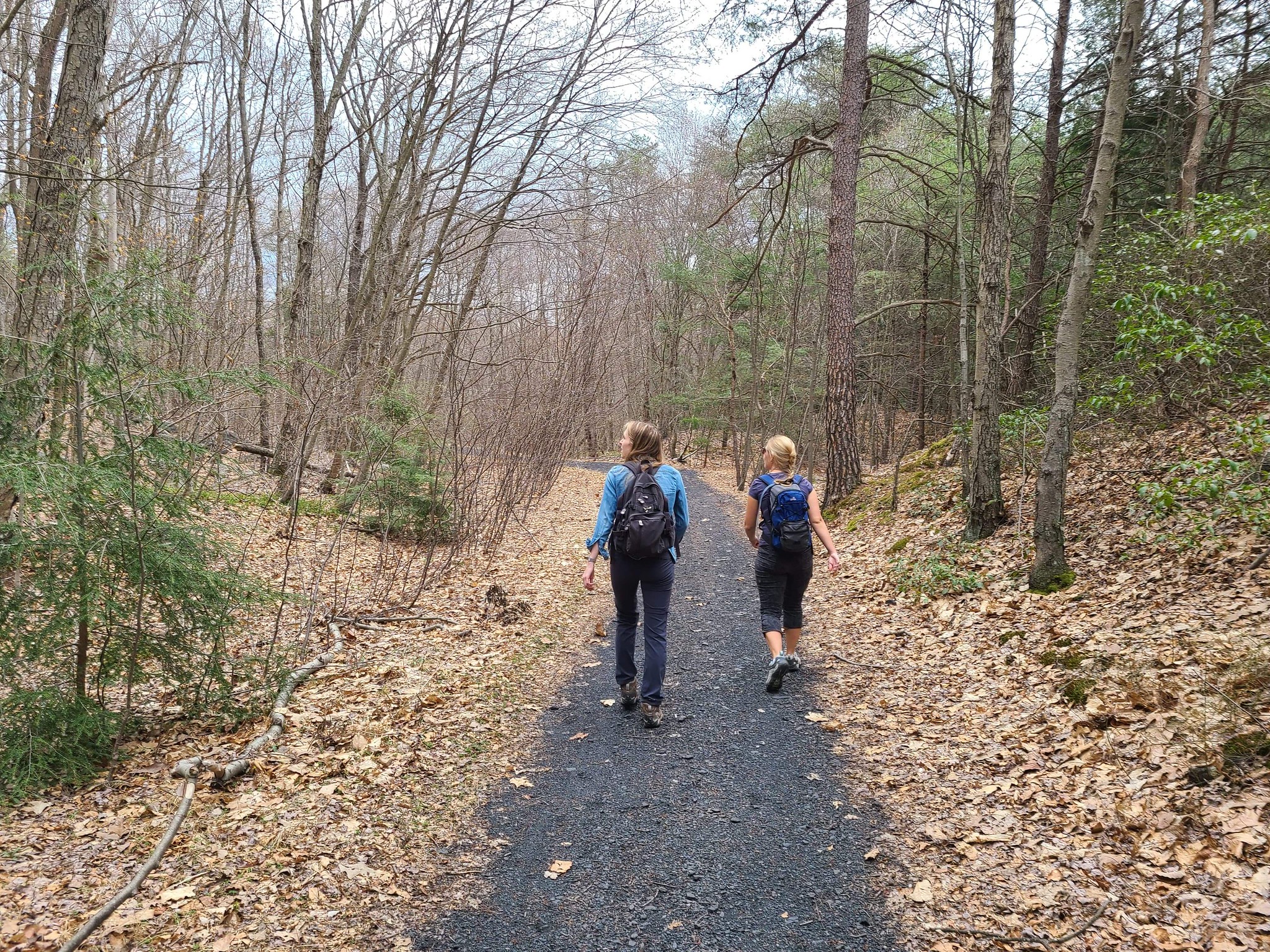
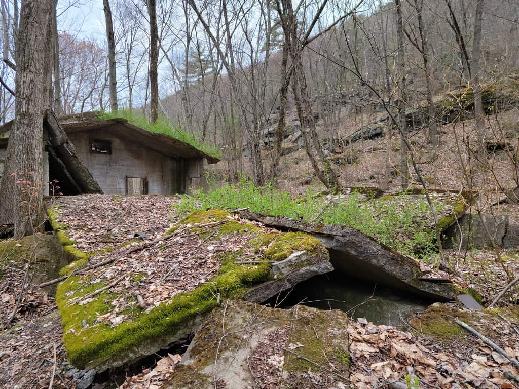
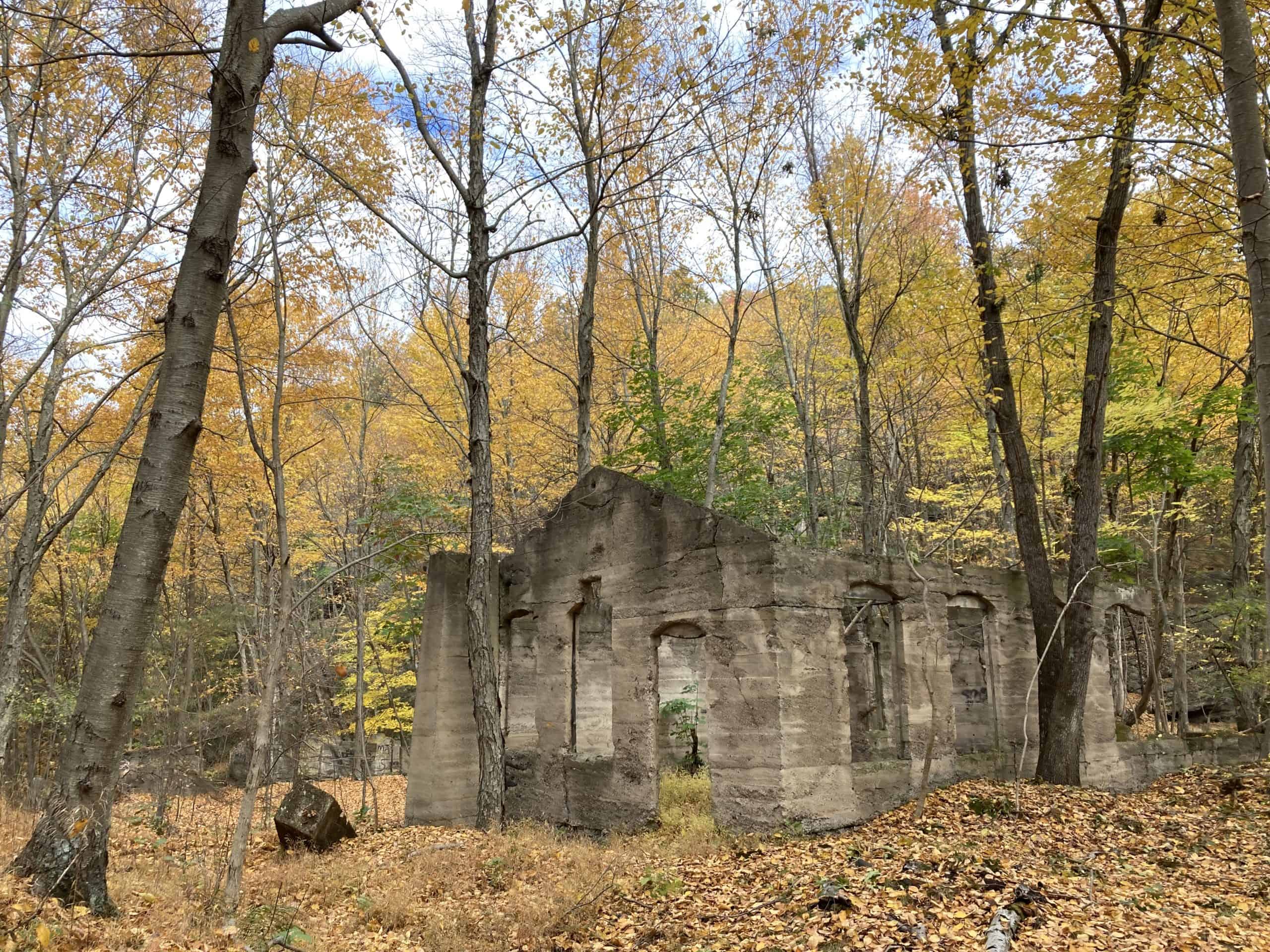
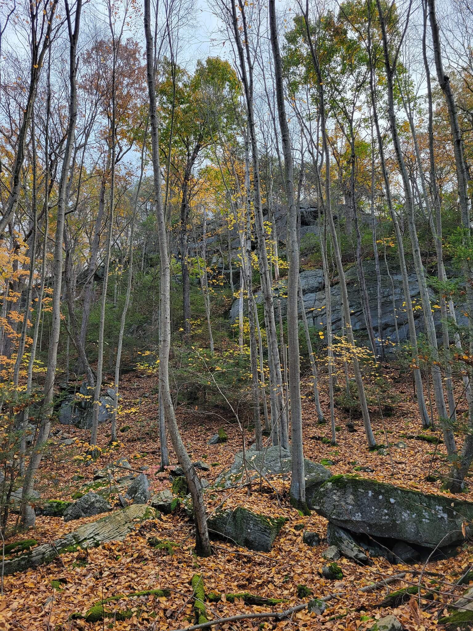
Although the trails vary in difficulty, all take hikers along an unimproved trail traversing the mountainside to its ridgetop, providing scenic overlooks of the Susquehanna River, surrounding mountains, and the small communities dotting the valley’s floor. In addition to the natural features, some areas also hold industrial ruins, harkening back to the former Glen Alden Coal Corporation’s mining of the area. While the trail system is open to hiking, mountain biking, and horseback riding, some sections are best suited for foot traffic only.
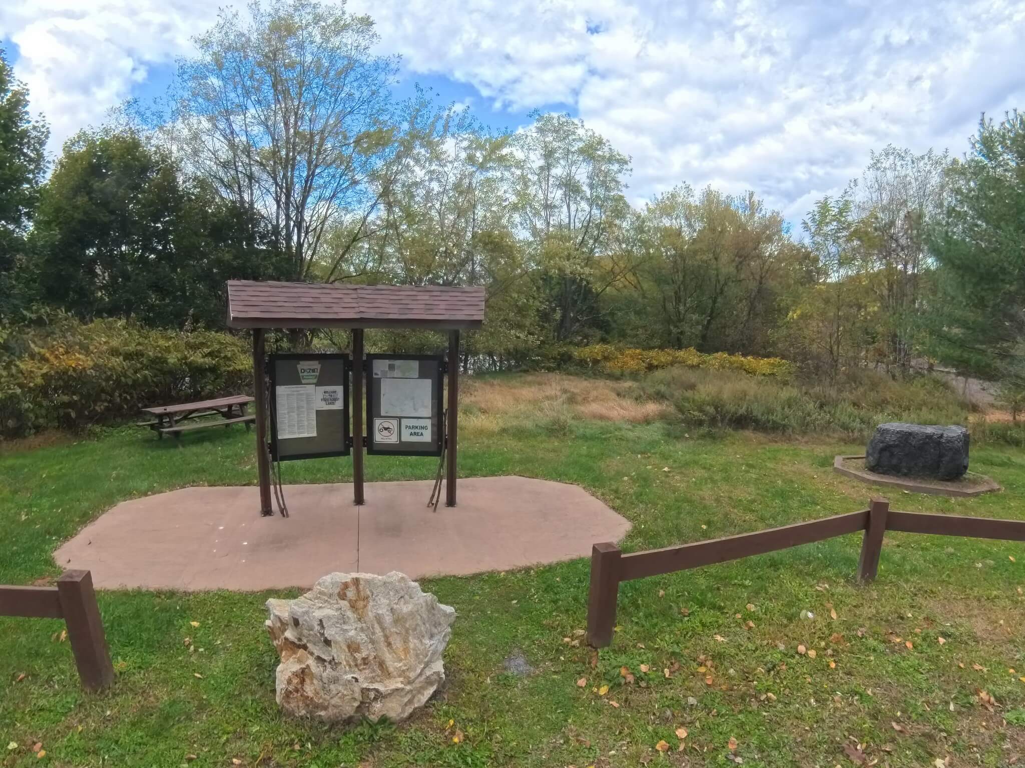
It has been noted that the trail blazes can be difficult to follow, so please be sure to keep a copy of the trail map handy. You may print the version below, or take a photo of the kiosk available at the trailhead. The AllTrails app is also helpful to ensure you stay on the path. There are also a few very steep sections where a hiking stick or trekking poles may be helpful.
View this post on Instagram
Parking and Trail Access
Parking and the system’s trailhead can be found off of Main Street in Mocanaqua near the sewer authority. To access the trailhead from the parking lot, walk through the railroad crossing and turn left. Continue forward past the gated area and follow trail signs. A clockwise loop is recommended.
Maps
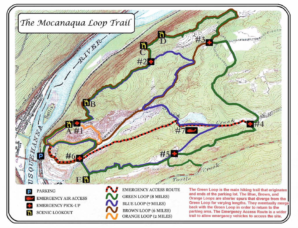
Photo courtesy of Shickshinny.org