
At a Glance:
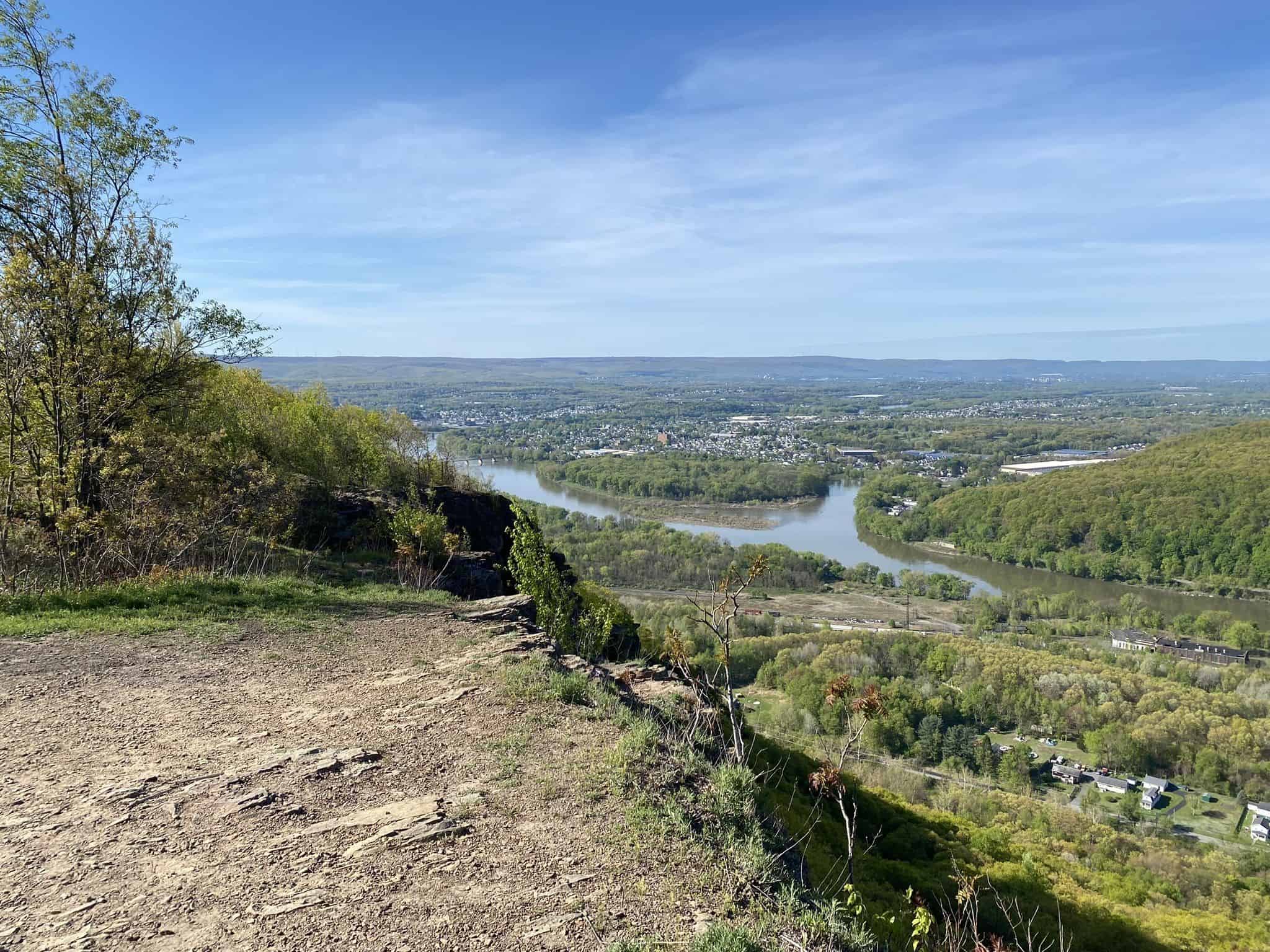
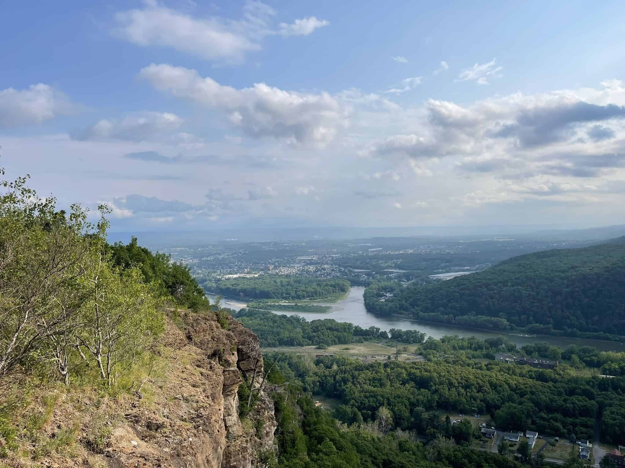
The Campbell’s Ledge Lookout Trail is a moderately challenging 4 mile out and back dirt path located near Duryea in Luzerne County. This steep, scenic hike treats visitors to gorgeous green hills and historic features before culminating in an unbeatable overlook from the top of a 700-foot cliff. The summit offers stunning, panoramic views spanning 30 miles of the beautiful Susquehanna River and surrounding northeast Pennsylvania mountains.
Description:
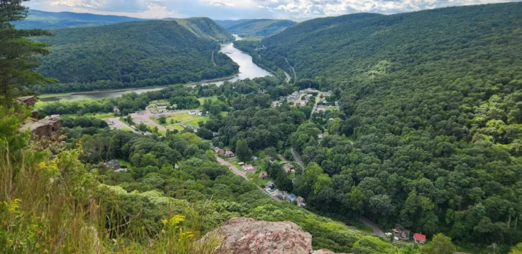
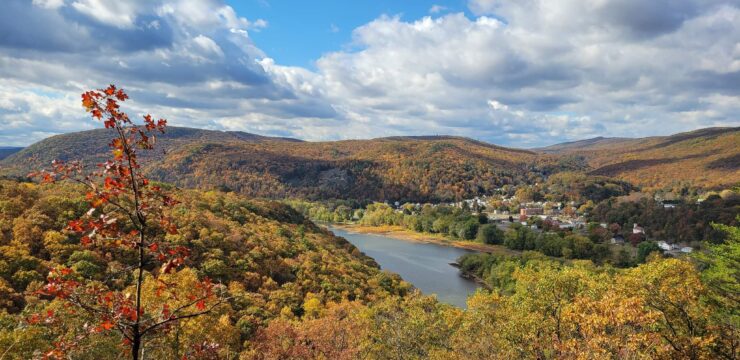
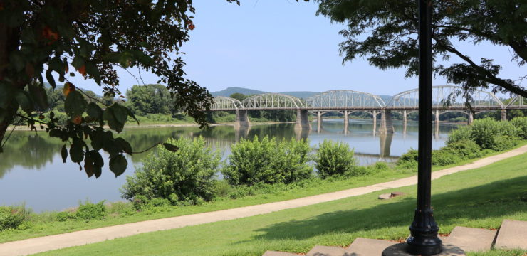
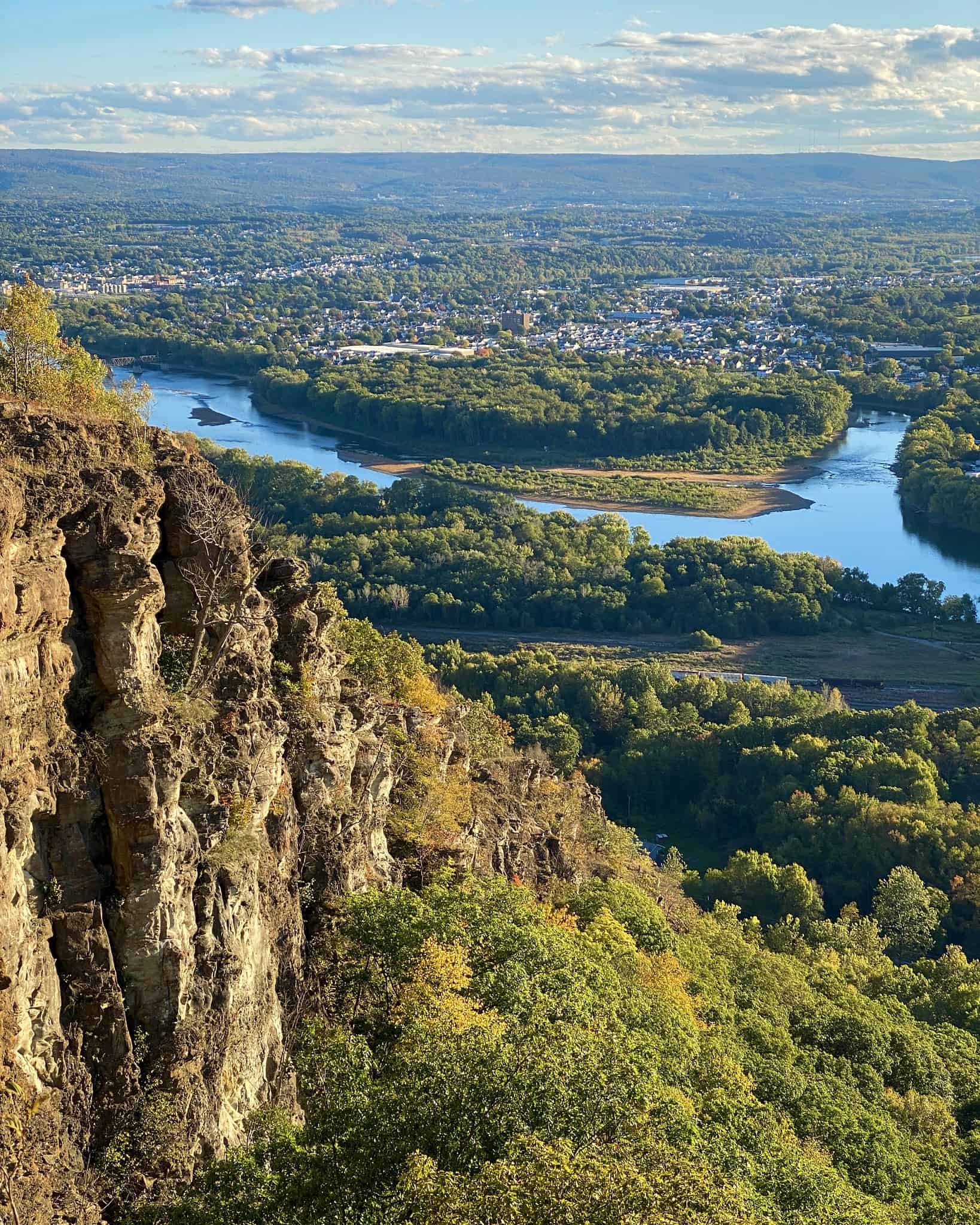
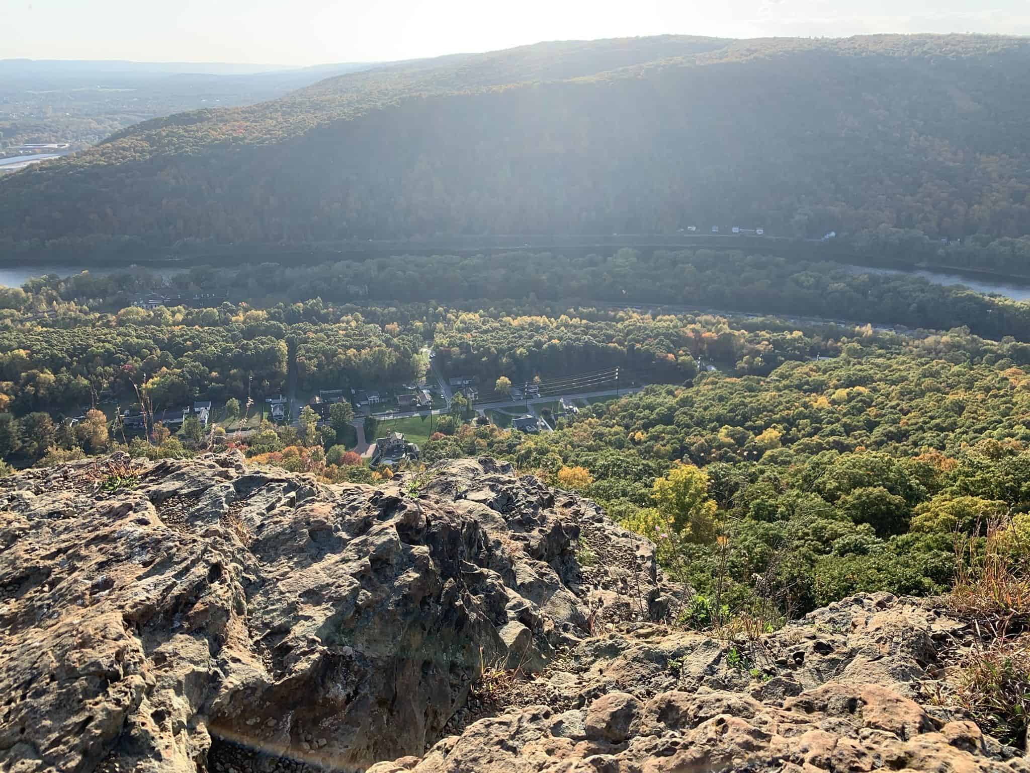
Campbell’s Ledge is a moderately-challenging 4-mile out-and-back trail, beginning and ending in Duryea, PA. This trail offers gorgeous green hills, stunning views of the Susquehanna River, and an unbeatable overlook from the top of the ledge. Campbell’s Ledge itself is one of the most notable features of this trail. The 700-foot cliff is what hikers stand atop once reaching the peak of the trail. Looking out, you will be rewarded with views spanning 30 miles of beautiful northeast Pennsylvania.
The trail is also steeped in local lore. Legend has it, a man by the name of Campbell was chased by a group of Native Americans. The Native Americans eventually trapped Campbell, surrounding him on the cliff. Campbell decided to choose his own fate and jump off the ledge, rather than be captured or killed by his pursuers. Whether or not this is myth or truth, it is an interesting story to consider while hiking the trail.
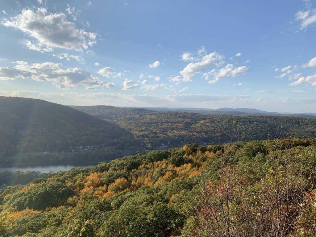
Photo by Dominic Roppa; View from Campbell’s Ledge
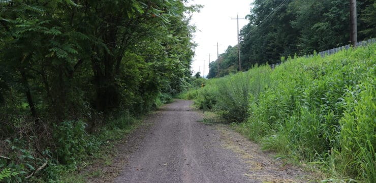
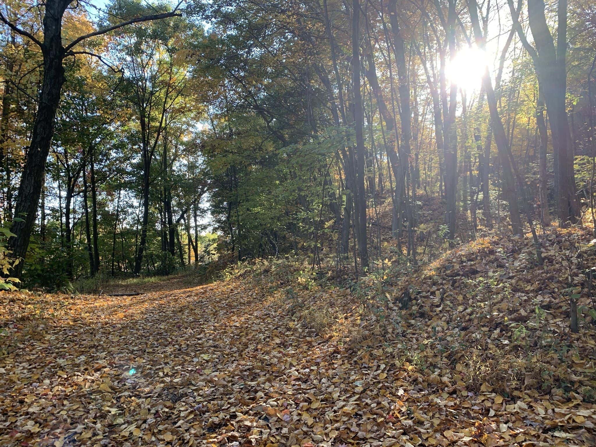
As you begin, this steep, 997-ft gain trail is marked with a series of blazes; however, it is advised to bring a map tool with you, like All Trails, to aid in navigation.
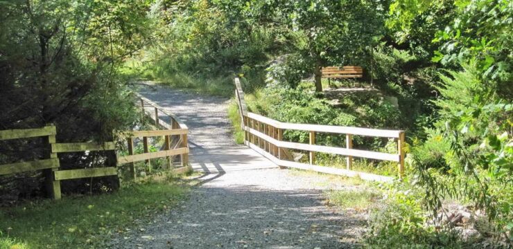
The trail starts along a service road for the first 0.4-mile. Take note to enter the State Game Lands gate while following the service road as opposed to the “Private Property” gate. The service road will take you to an abandoned road bridge, which you can view from the trail. The road then takes you further up the mountain, where you get to see a water tower off the side of the mountain.
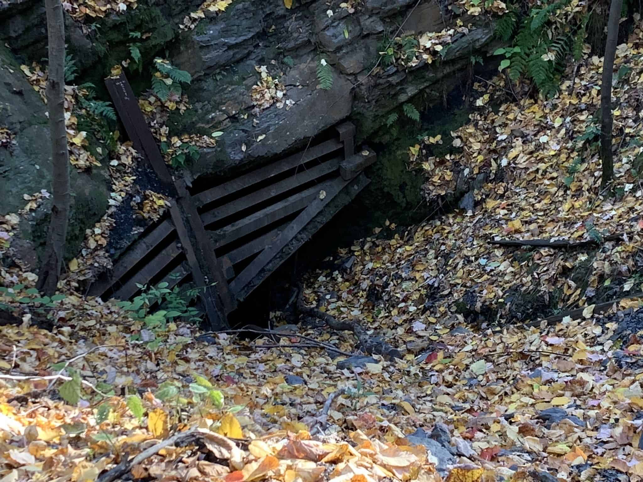
Approximately one mile into the hike, there is a broken fence that surrounds a large hole in the ground. This pit in the ground is an old coal mine entrance! Do not enter the mine while on this hike. Going ahead another tenth of a mile, there is another old coal mine entrance—also off limits.
The trail comes to an end at ~2 miles, at Campbell’s Ledge. This is the summit of the mountain, where you can see the Susquehanna River and surrounding mountains. Because this is an out-and-back trail, you will turn from this point and head back the same way you came to get back to the beginning of the trail.
Parking and Trail Access:
From I-81 Northbound, take exit 175 towards PA-315 N/Hwy 315 N in Luzerne County. Turn left onto Oak St and take the street the entire way until it ends, which is when you will turn right onto South Township Blvd. Turn left onto Route 11/William St, then turn right onto N Main St through Upper Pittson. Take a slight left onto Coxton Road, which leads you over the bridge. Turn right into Campbell’s Ledge.
From I-81 Southbound, take exit 180 onto route 11. Turn right onto Main Street, followed by a right onto Lonesome Road when Main Street ends. Turn left onto South Main Street once Lonesome Road ends. Make a sharp right turn onto Coxton Road, followed by a left turn to stay on Coxton Road. Finally, turn right into the gravel parking area for Campbell’s Ledge.