At A Glance
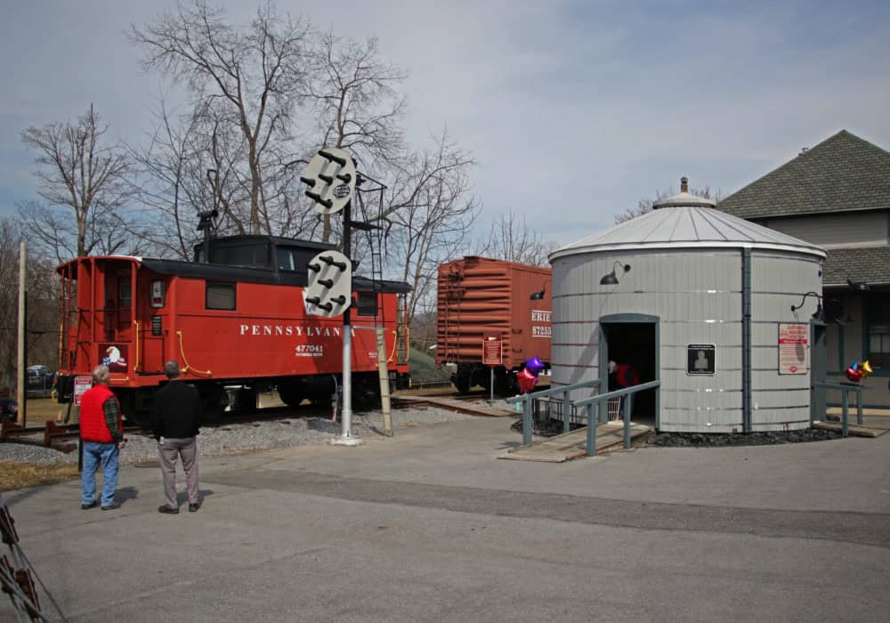
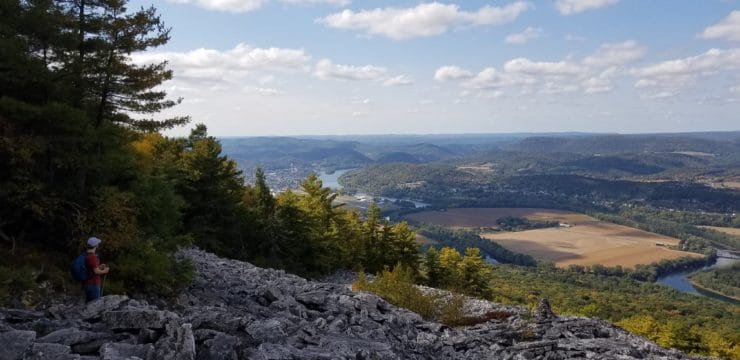
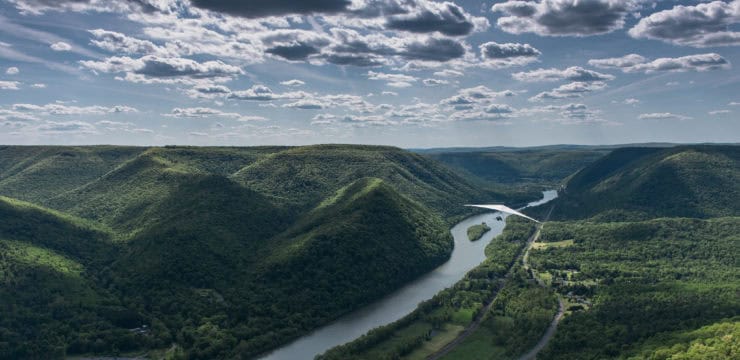
The Bald Eagle Valley Trail follows a former railroad corridor along Bald Eagle Creek and the West Branch Susquehanna River, offering scenic views of the surrounding ridges and valleys. Along the way, visitors can stop at the restored red caboose and traverse the charming Katie’s Crossing bridge—two picture-perfect highlights that celebrate the region’s rail history and small-town charm.
Description
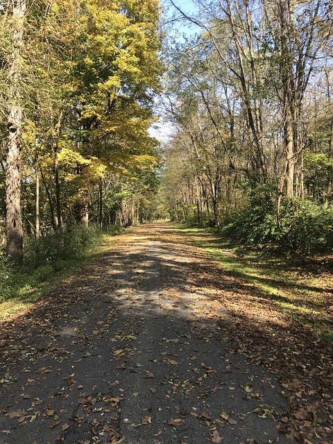
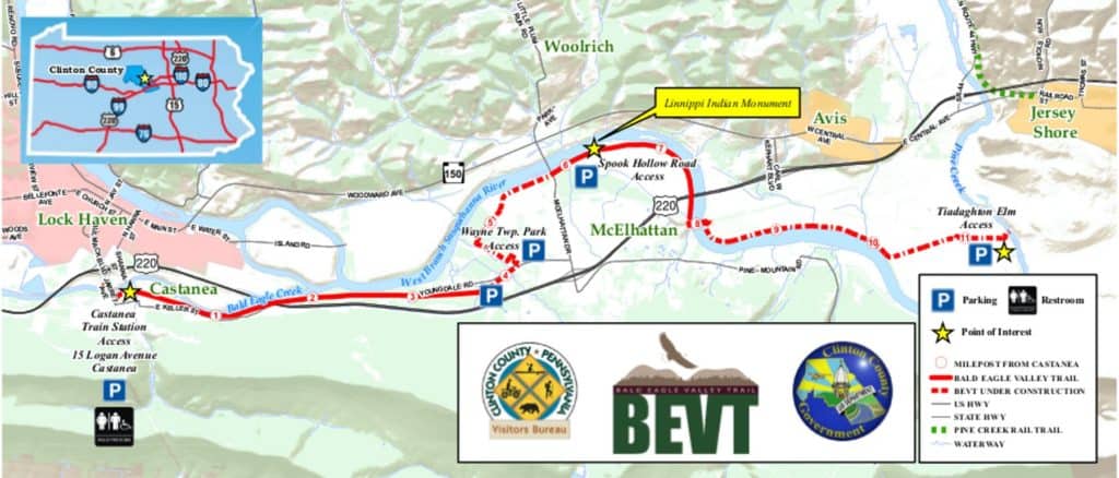
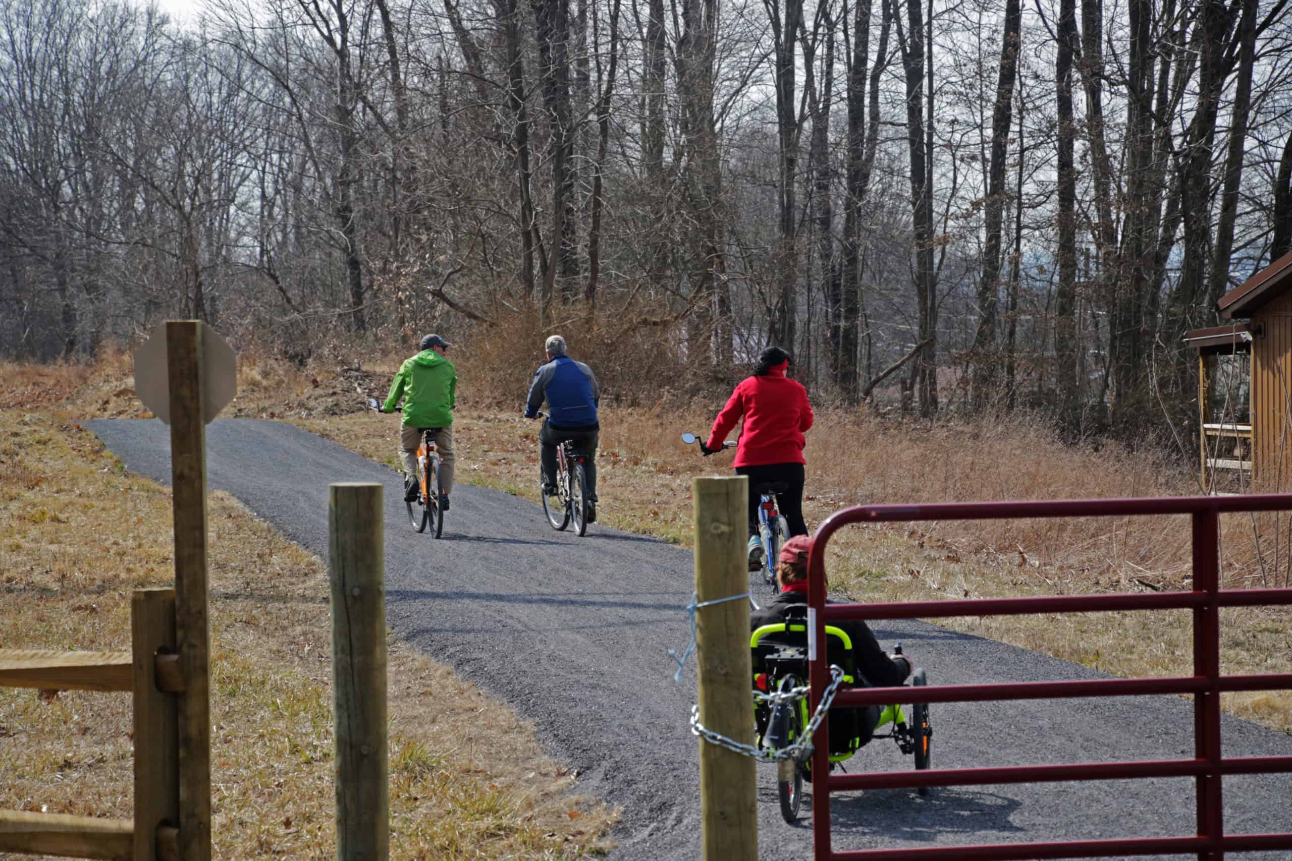
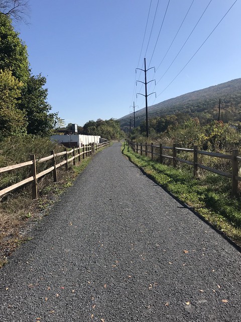
The first section of the trail runs 3.4 miles from the Castanea Train Station to Youngdale Road in Wayne Township along a former railroad bed. This section offers views of Bald Eagle Creek and showcases the ridge-and-valley Appalachian Mountain area through which the trail passes. A second, 3.0-mile section (out and back) is located in McElhattan and is known locally as ‘Spook Hollow’.
The planned 11.5-mile walking/hiking/bicycling trail will ultimately run from Castanea to the Jersey Shore Trailhead of the Pine Creek Valley Rail Trail. Named for the ridge-and-valley Appalachian Mountain area through which the trail passes, the Bald Eagle Valley Trail is a project of Clinton County Government, with partners in Castanea, Wayne, and Pine Creek Townships, the Clinton County Solid Waste Authority, and the Clinton County Visitors Bureau.
The trail traverses former railroad bed, abandoned township roads, and active farm/township roads.
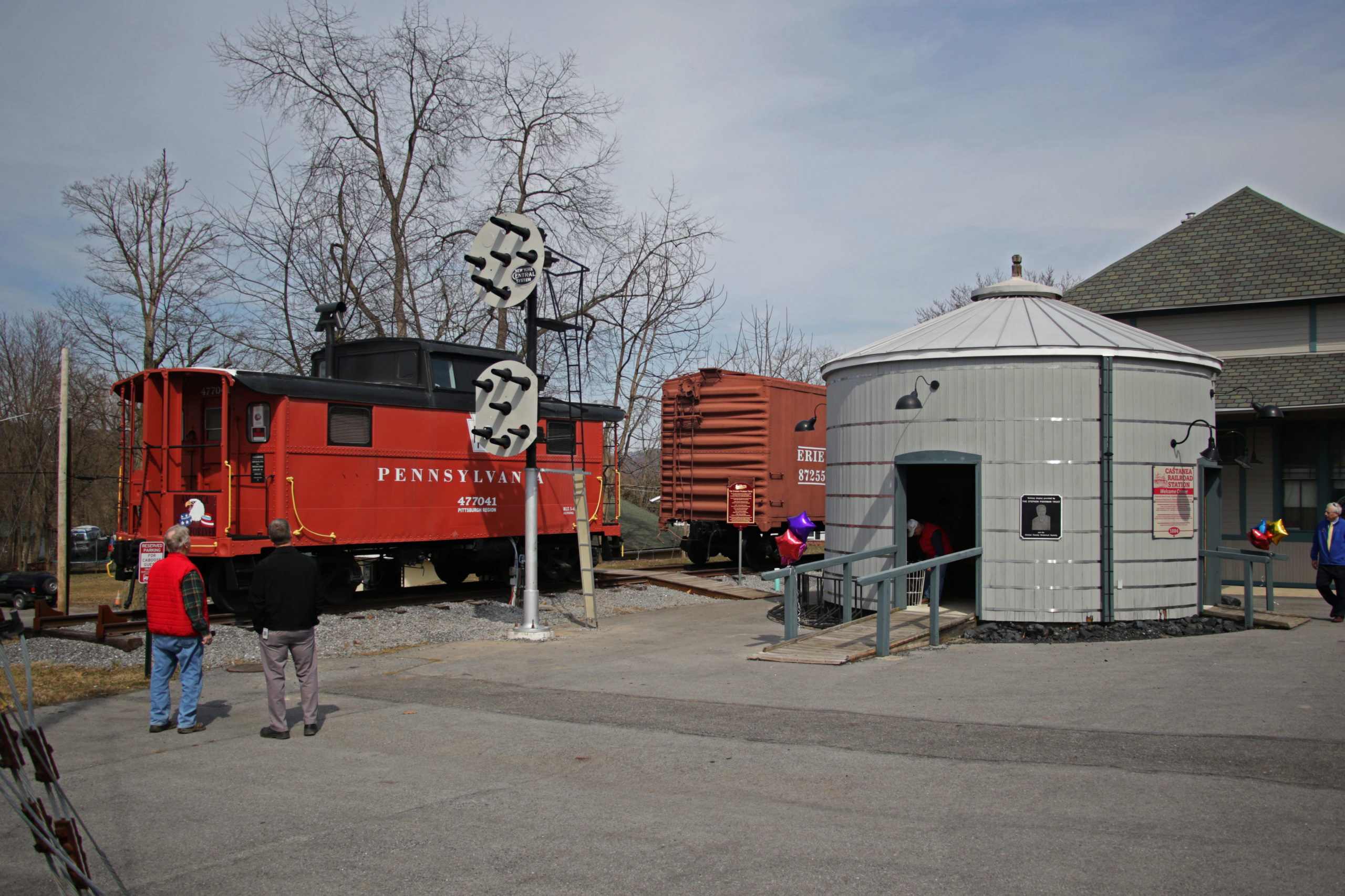
It is also just steps away from a restored train caboose that now serves as an Airbnb. Click here for more details on how to book your stay and learn about other area attractions.
Parking and Trail Access
Parking is currently available near the trailhead at the Clinton Central Model Railroad Club and along Caroline Alley. Eventually there will be seven accessible parking lots at miles 0, 0.30, 3.80, 4.33, 5.96, 7.92, and 11.5 (West to East). For more details on the projected phases of development, click here.
As you can see on the map below, there is an additional 2.2-mile stretch that is accessible along Spook Hollow Road. Click here for the route on Google Maps.
Sources
For questions or comments on the trail, contact the Clinton County Planning Office at 570-893-4080.
Map Created by the Clinton County Economic Partnership.
