

At a Glance:
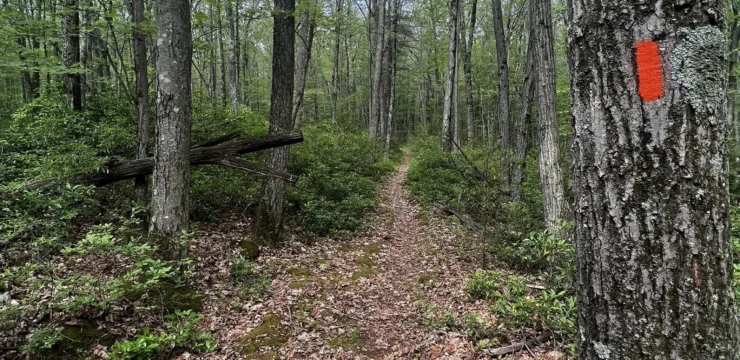
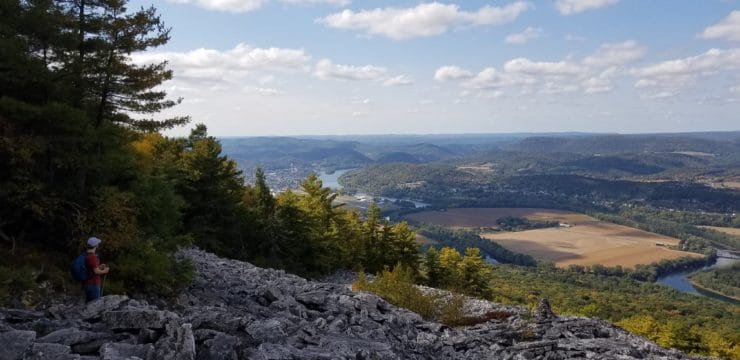
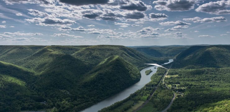
The Donut Hole Trail offers a variety of trail experiences perfect for both motivated backpackers seeking an overnight wilderness journey and day hikers looking for a scenic escape. Spanning 90 miles from point to point through the thick woods of Sproul State Forest, visitors can choose to tackle the entire rugged route or opt for shorter sections, including a popular day hike from Hyner Run State Park up to the breathtaking Hyner View Overlook. Hikers can enjoy panoramic river views alongside challenging routes that feature steep climbs and stream crossings. The best times to visit these trails are during the prime hiking and backpacking seasons. You’ll need to leave the overnight plans at home, camping permits are required if you plan to stay more than one night at a specific spot.
Description:
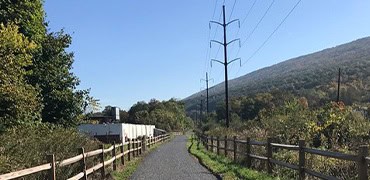
This 90-mile route parallels the Susquehanna River and passes through Sproul State Forest, amidst some of the thickest wooded areas in Pennsylvania. It provides an amazing backpacking trip for an overnight experience within PA’s premier wilderness, and also can be divided into some great options for day-hikers. From point-to-point, the Donut Hole Trail runs between Jericho and Farrandsville, PA, mostly running within Clinton County, except for 5-miles in Jericho, where the trail enters Cameron County.
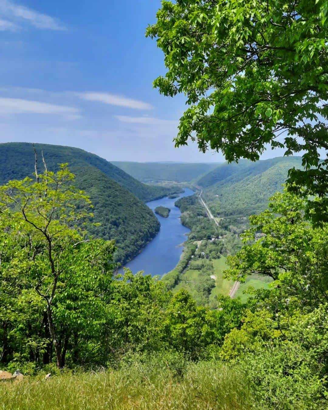
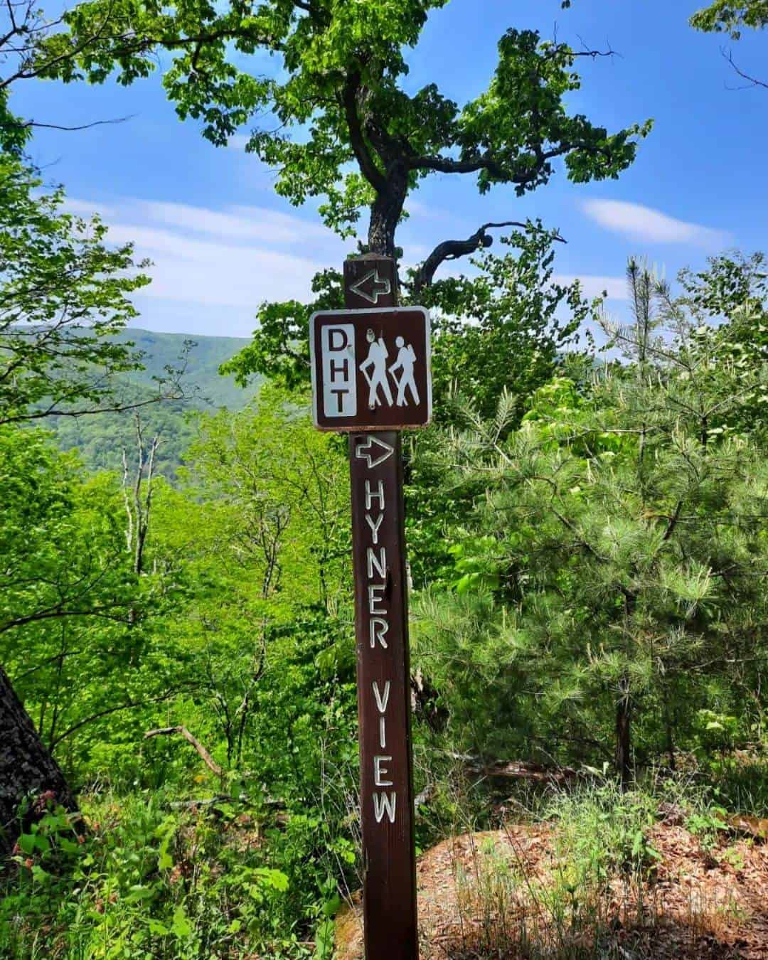
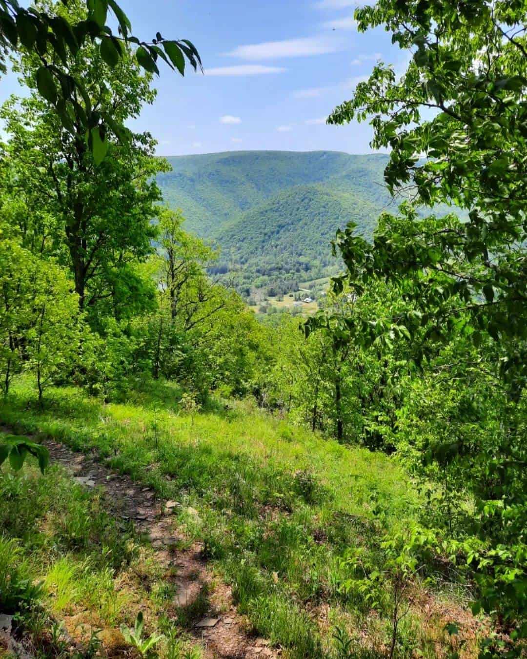
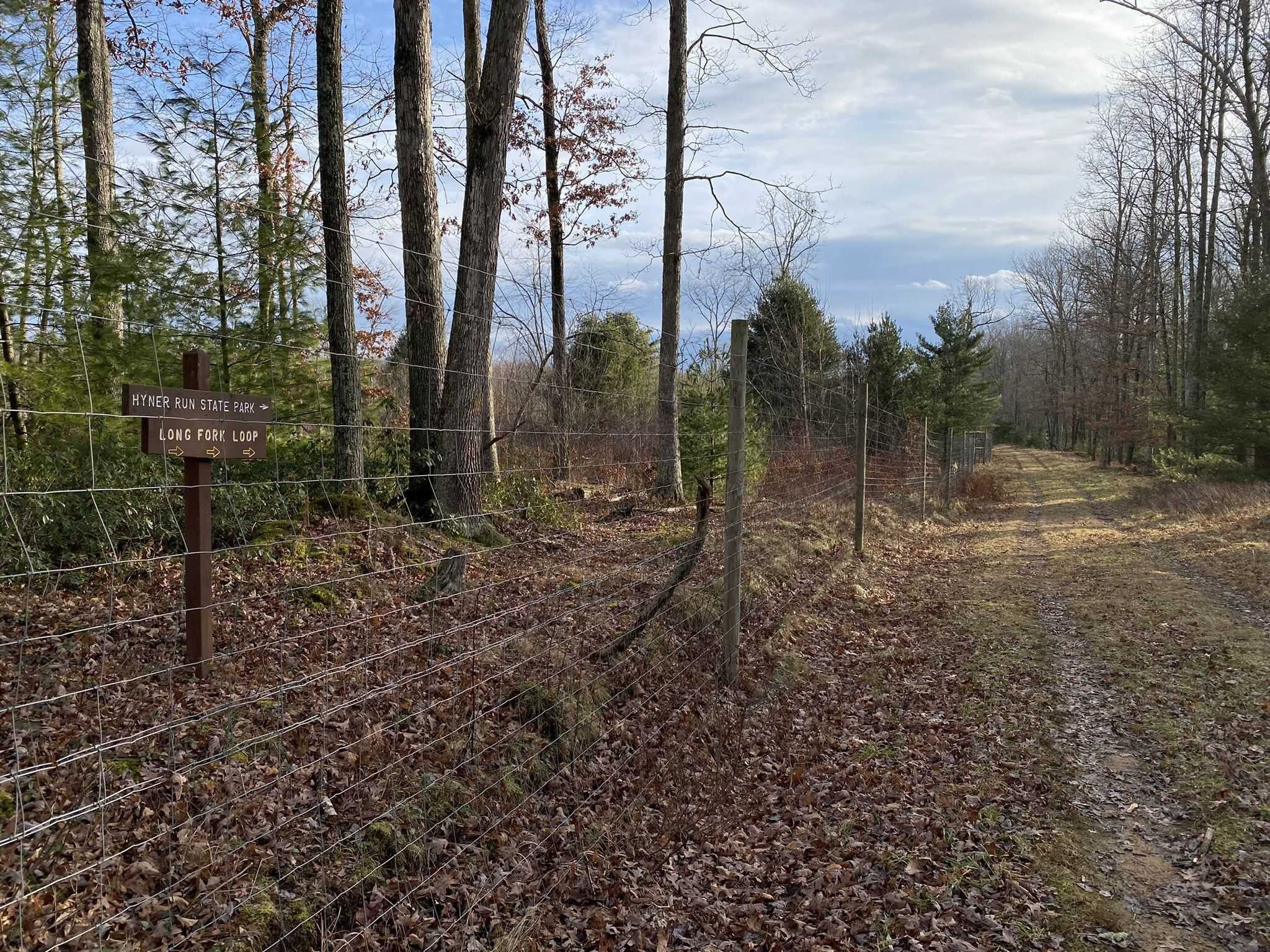
While the entire 90 miles is a fantastic journey for the motivated backpacker, avid hikers can also explore sections of the trail in a series of day-hikes. One popular section begins at Hyner Run State Park, with the hike leading up to the breathtaking Hyner View Overlook. The expansive greenery, running streams, and the views of the Susquehanna River’s West Branch offer a small glimpse into what you will experience on this section of the Donut Hole Trail.
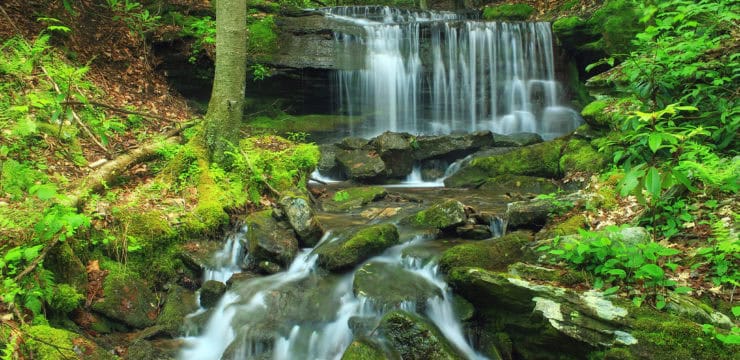
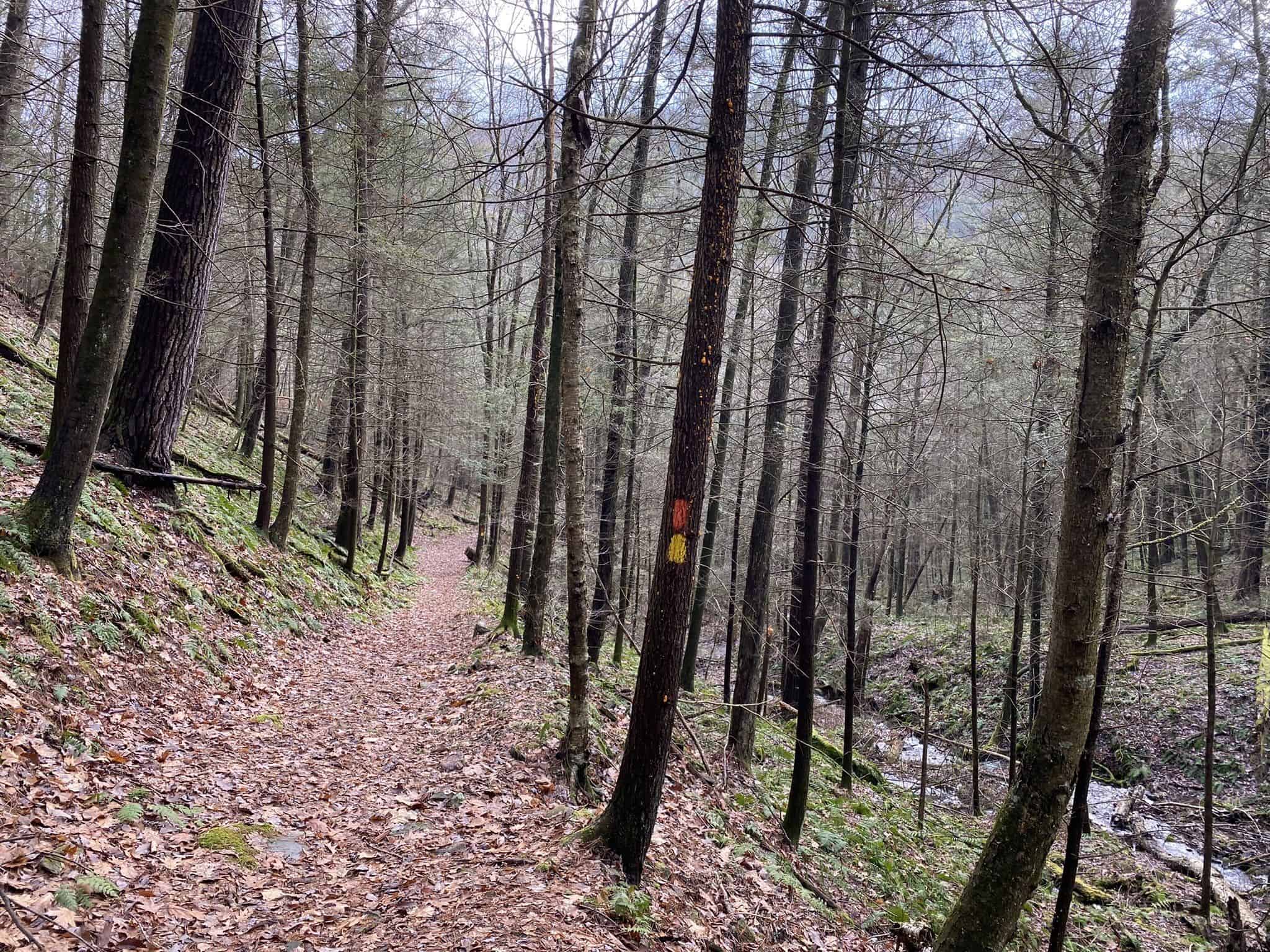
For the hikers up to an exciting challenge, there are a few portions of the trail that include steep climbs and stream crossings sure to get the blood pumping. One major stream crossing is located at Kettle Creek. Please exercise caution on this part of the trail. When the water is high, do not attempt to cross. Instead take the scenic route, marked by yellow blazes—this path will not take you through Kettle Creek.
As mentioned previously, the Donut Hole Trail runs through Sproul State Park, the largest state forest in Pennsylvania. The Donut Hole Trail connects with the state park at the Susquehannock Trail System. This trail crosses Kettle Creek State Park and ends at Hyner Run State Park. Access to different parts of the trail is available through these state parks, or from either trail end.
For backpackers, camping permits are required if you plan to stay more than one night at a specific spot. A map of the trail and camping permits may be acquired from the Sproul State Forest office in Renovo, (570) 923-6011.
Parking and Trail Access
To Start from Jericho: The starting point from Jericho is near the intersection of PA 120 and PA 872 in Cameron County. Take Jericho’s only street to the end of the road, off PA 120.
To Start from Farrandsville: The starting point from Farrandsville is about 7 miles outside of Lock Haven. To get to the trail head from leaving Lock Haven, go over the 664 bridge above the Susquehanna River, and turn left at the end of the bridge. Drive 5 miles along the Susquehanna River to Farrandsville. Continue for an additional .6 mile, where the road will turn abruptly away from the river, where you will pass by a church. The trail head is located at the end of the road in the Game Commission parking lot.