
Description
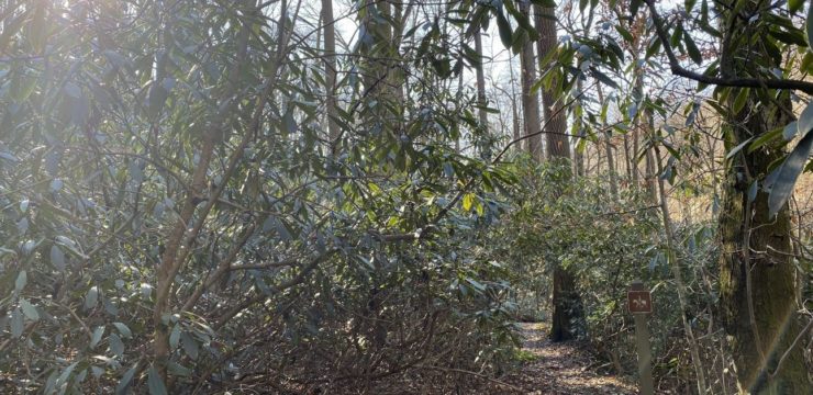
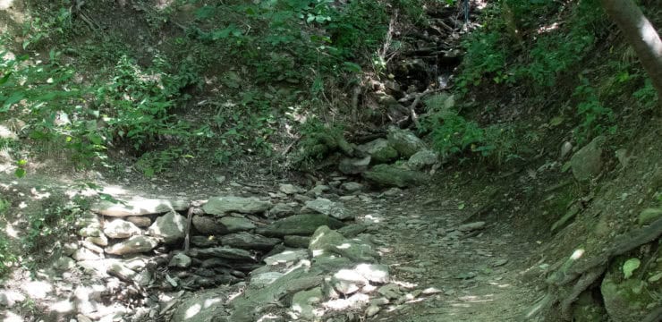
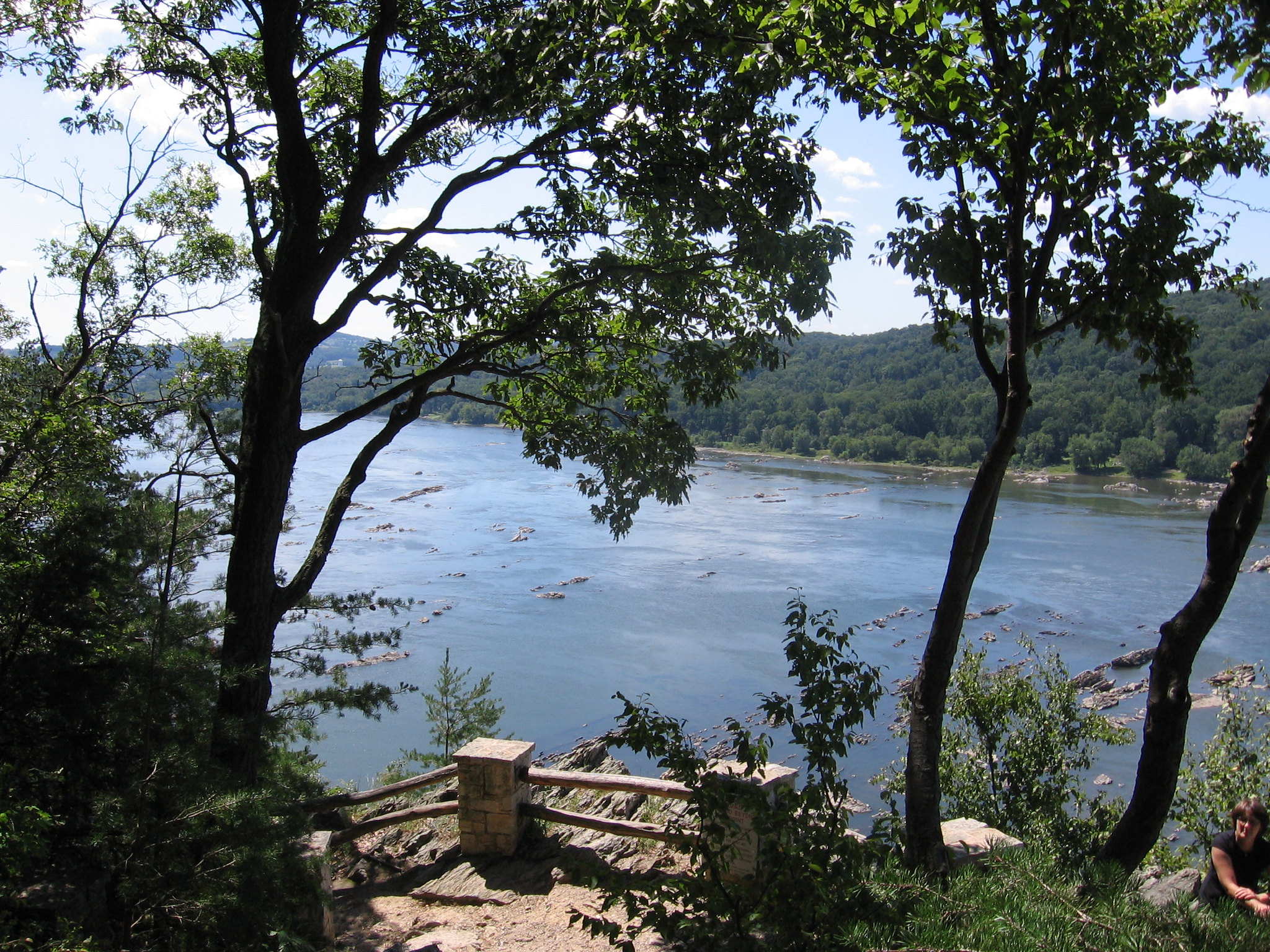
As its name implies, hikers on the Chickies Rock Overlook Trail will be rewarded with a beautiful vista at the end of their excursion. The short trail follows an old trolley line route that once took tourists up to Chickies Rock in the early 1900s.
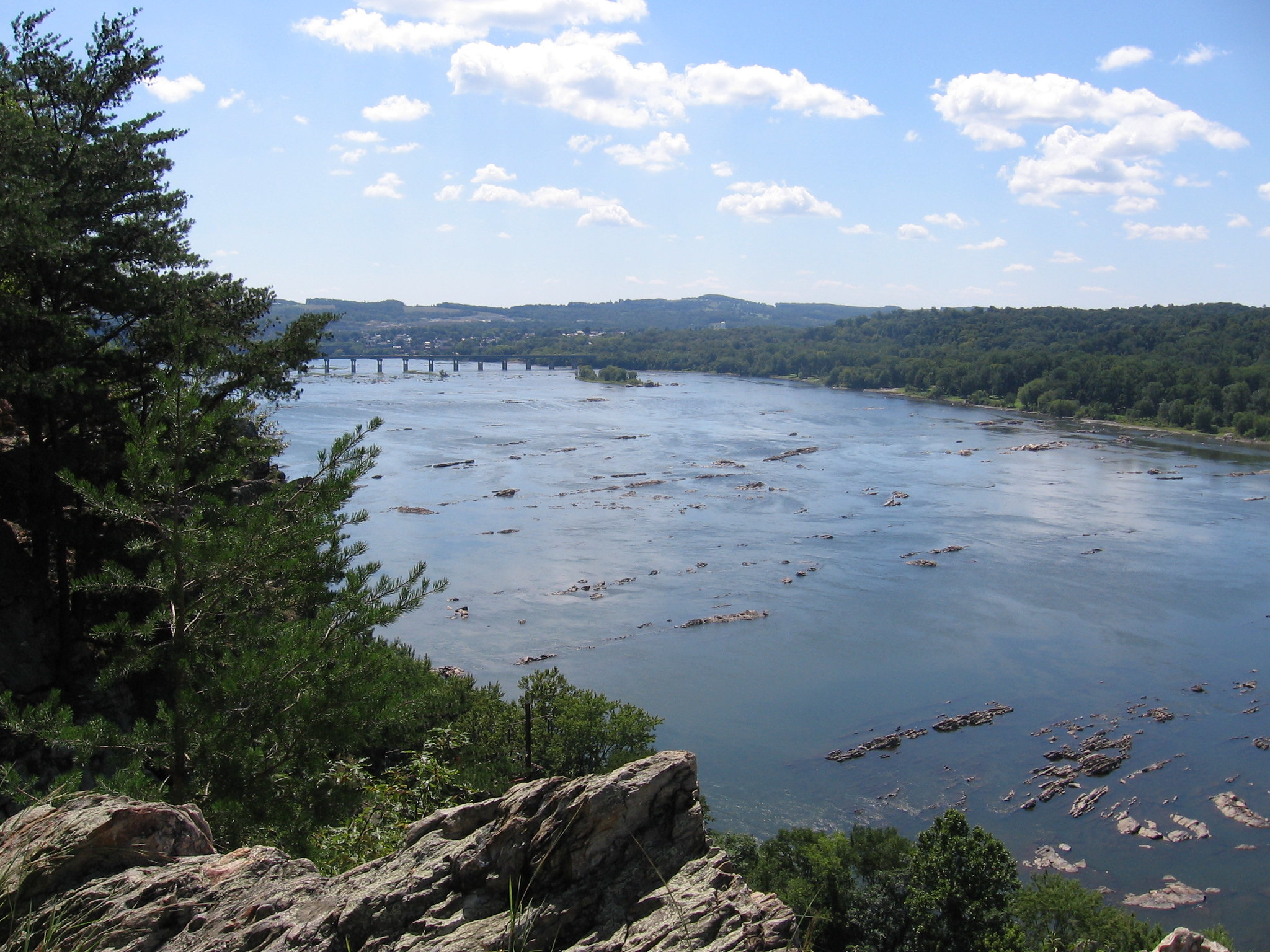
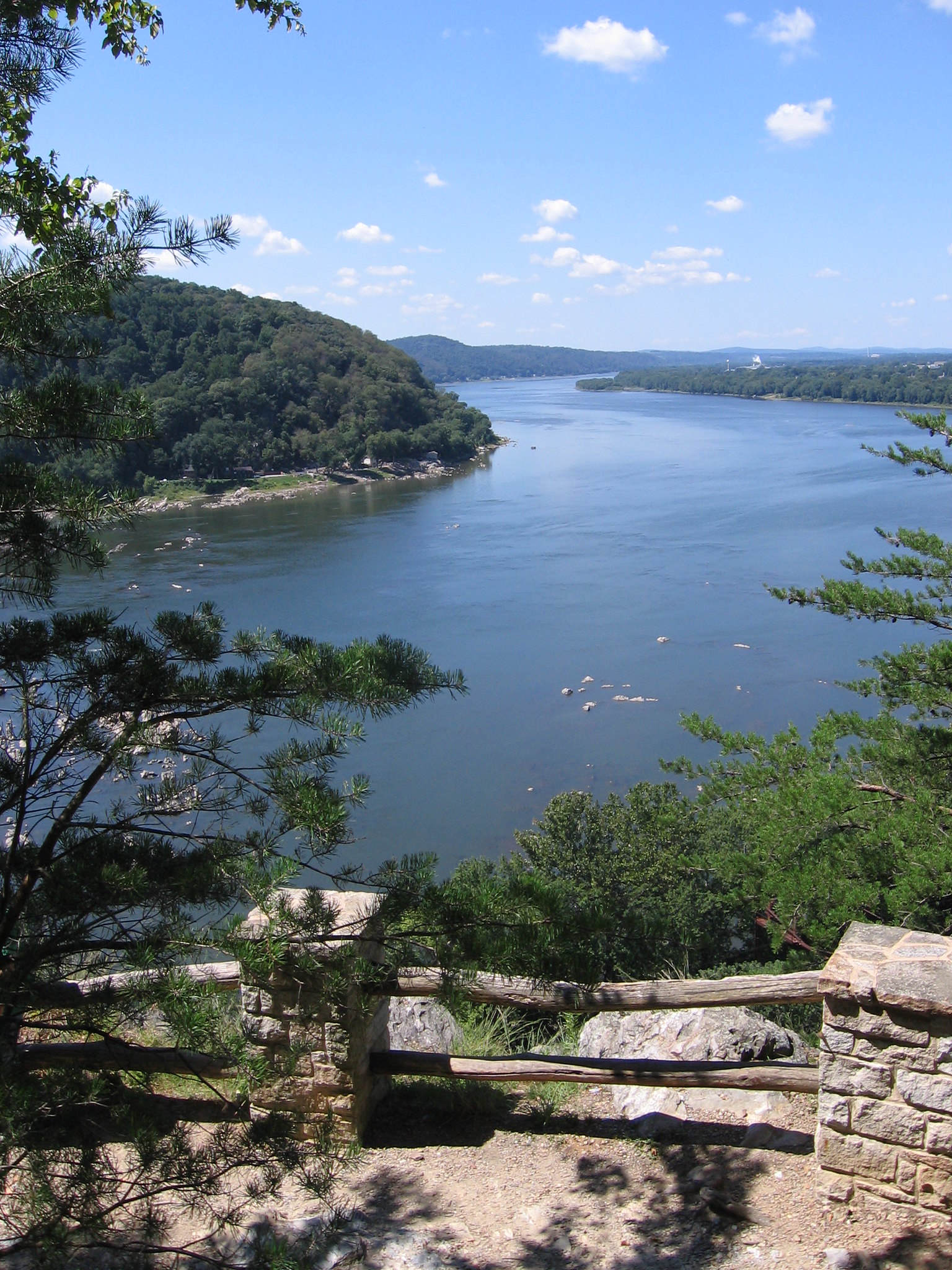
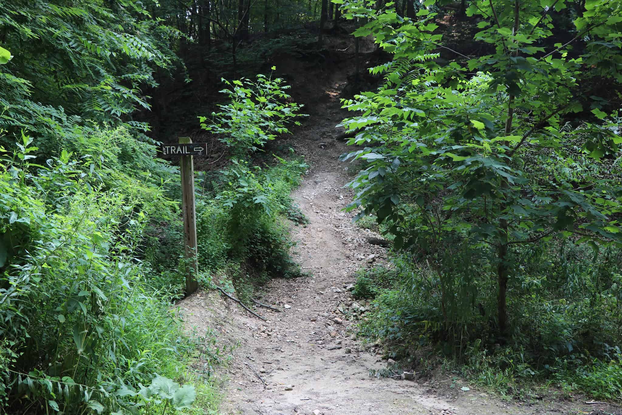
Start at the trailhead on its eastern end (off Chickies Hill Road) and head west along the tree-lined pathway until your journey ends after a short distance at a cliff towering above the Susquehanna River. Enjoy the spectacular view of the river and, in the distance, rural landscapes and the surrounding communities of Marietta, Columbia, and Wrightsville.

Parking and Trail Access
A trailhead and parking lot is available on the east end of the trail, off Chickies Hill Road (Route 441).
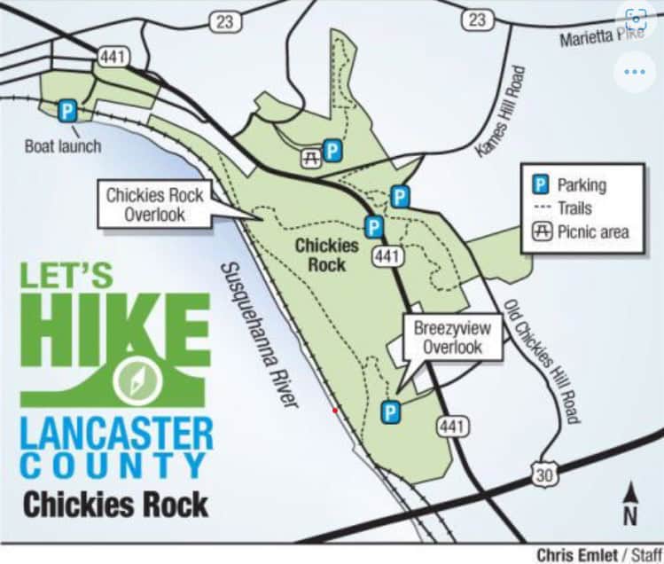
Map
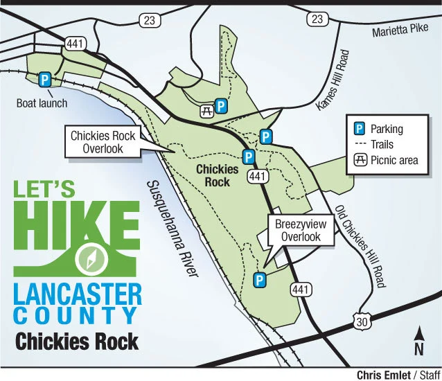
Map courtesy of Lancaster Online