
Description
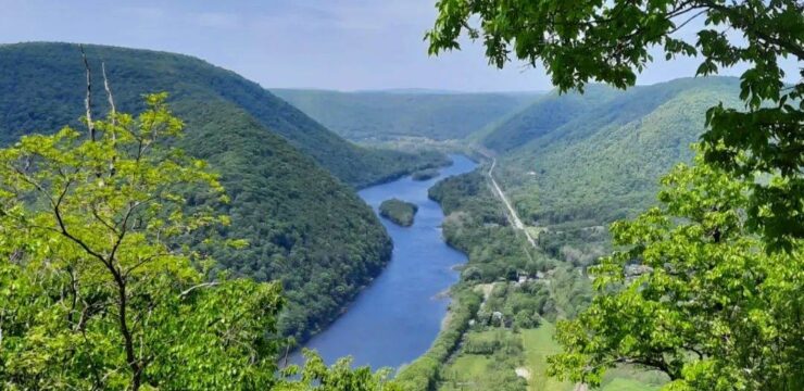
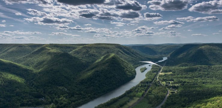
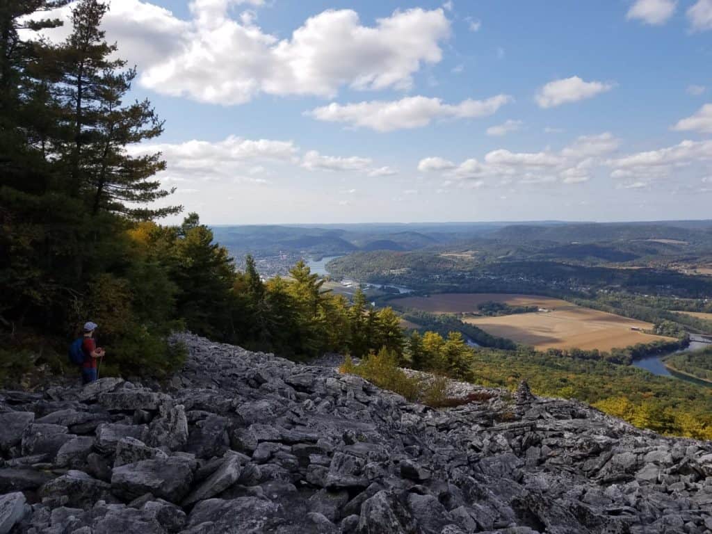
Bald Eagle Mountain is the westernmost ridge in its section of the Ridge-and-Valley Appalachians, and lies south of the West Branch Susquehanna River. The mountain can be explored via numerous trails, and is a great location to view migrating birds, including the golden eagle. This area is also a popular spot for glider pilots, so be on the lookout for any that may soar over. The views of the boulder field and nearby Lock Haven from the top of the ridge summit trail make this difficult hike worth the climb.
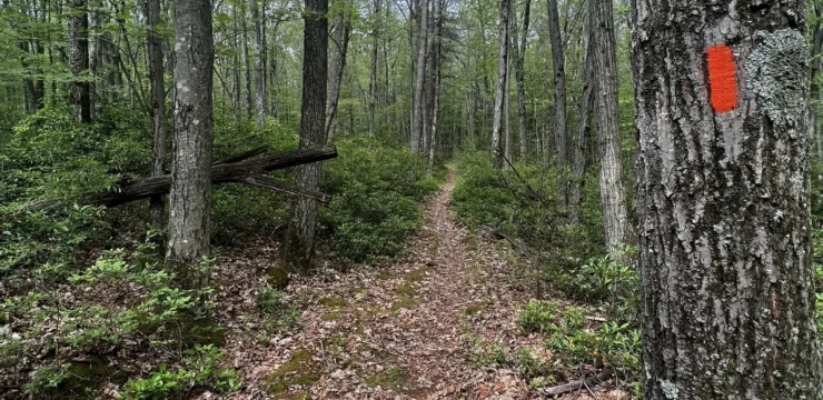
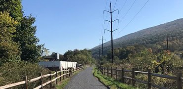
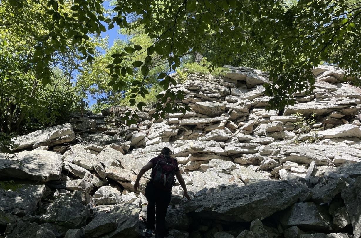
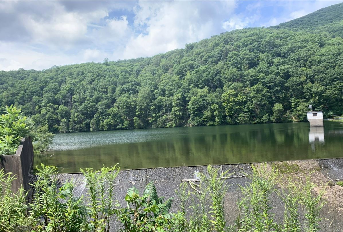
A good place to park and begin your hike is Zindel Park, located on Reservoir Road off US-220. Continue on foot down Reservoir Road as you pass by Keller Reservoir and eventually reach an intersection of trails. Turn onto the Winchester Trail (yellow-blazed) to begin your way up the top of the mountain. Prepare for a bit more of a strenuous hike, as most of the trail is a steep incline, and you will have to navigate some rocky scrambles as you get closer to the summit ridge. Also, be very aware of timber rattle snakes throughout the mountain!
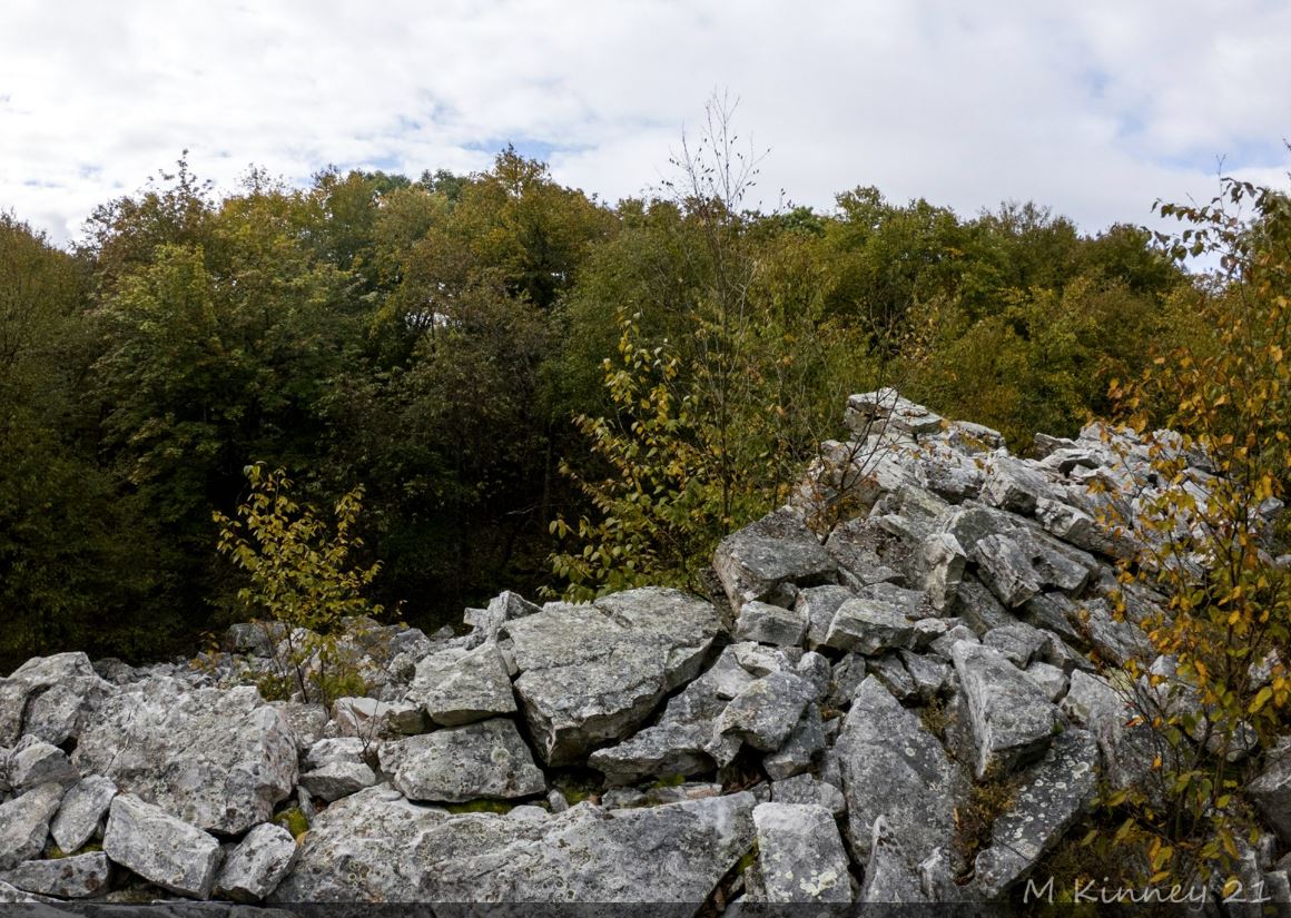
Once you work your way up to the top, follow the ridge west (known as Rattlesnake Ridge) until you reach the boulder field lookout point. This is a great overlook spot that also offers views of Lock Haven and the West Branch Susquehanna River. There is even an annual running event every fall for those wishing to take on the challenge of hiking up the boulder field!
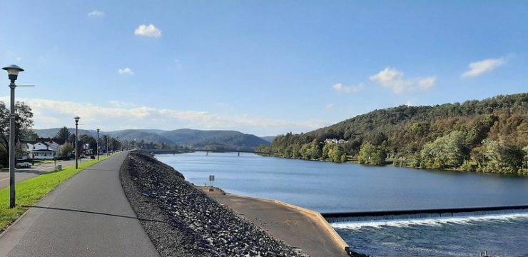
Be sure to visit the Susquehanna Greenway River Town of Lock Haven for a bite to eat after your hike.
Parking and Trail Access
Zindel Park has a parking lot located on Reservoir Road. From the east, follow I-180 W and US-220 S to Wayne Township. Take exit 116 from US-220 S. From here, continue to drive down Reservoir Road until you reach the parking area. From the west, take US-220 N to Reservoir Road in Wayne Township. Drive down Reservoir Road until you reach the parking area.
Map
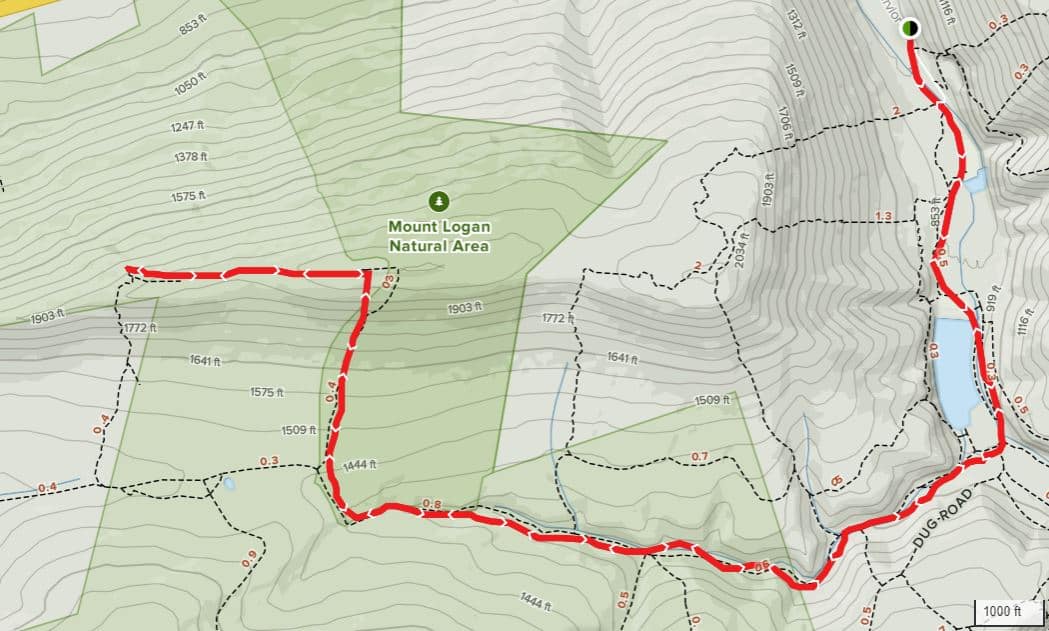
Map courtesy All Trails