At a Glance
Susquehanna Riverlands State Park covers 1,044 acres along the Susquehanna River and Codorus Creek, offering about 2.5 miles of waterfront and several scenic rock outcropping overlooks. The park features a 2.75-mile stretch of the Mason-Dixon Trail, connecting to the Appalachian Trail and other regional trails. Visitors should respect nearby private homes and avoid walking in active crop fields.
Description
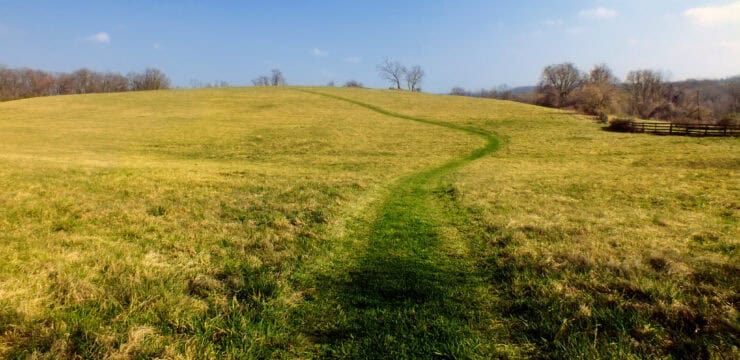
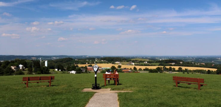
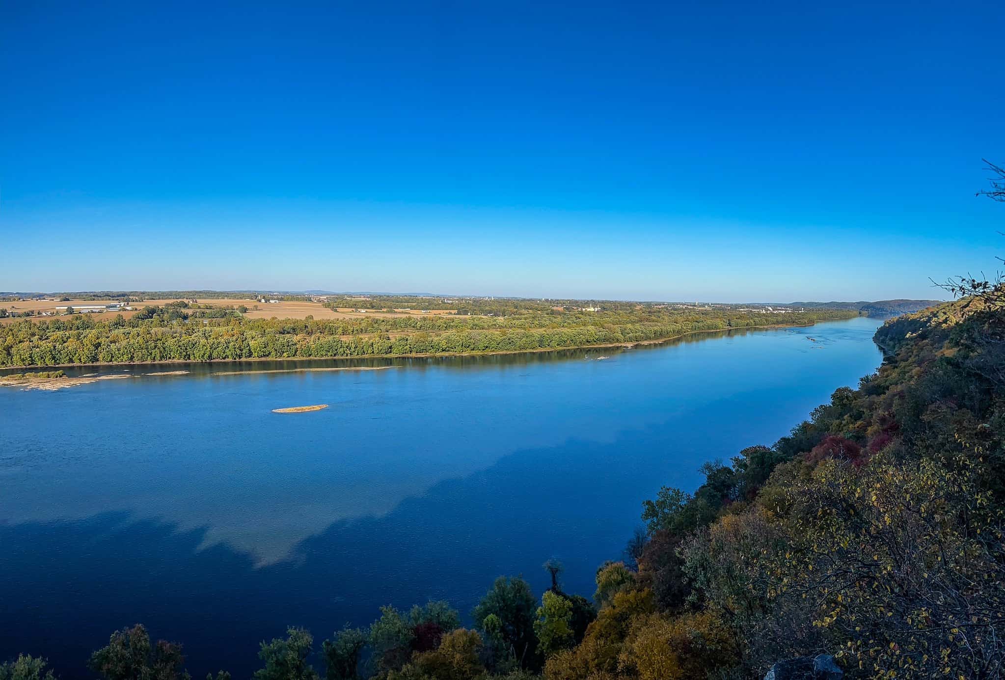
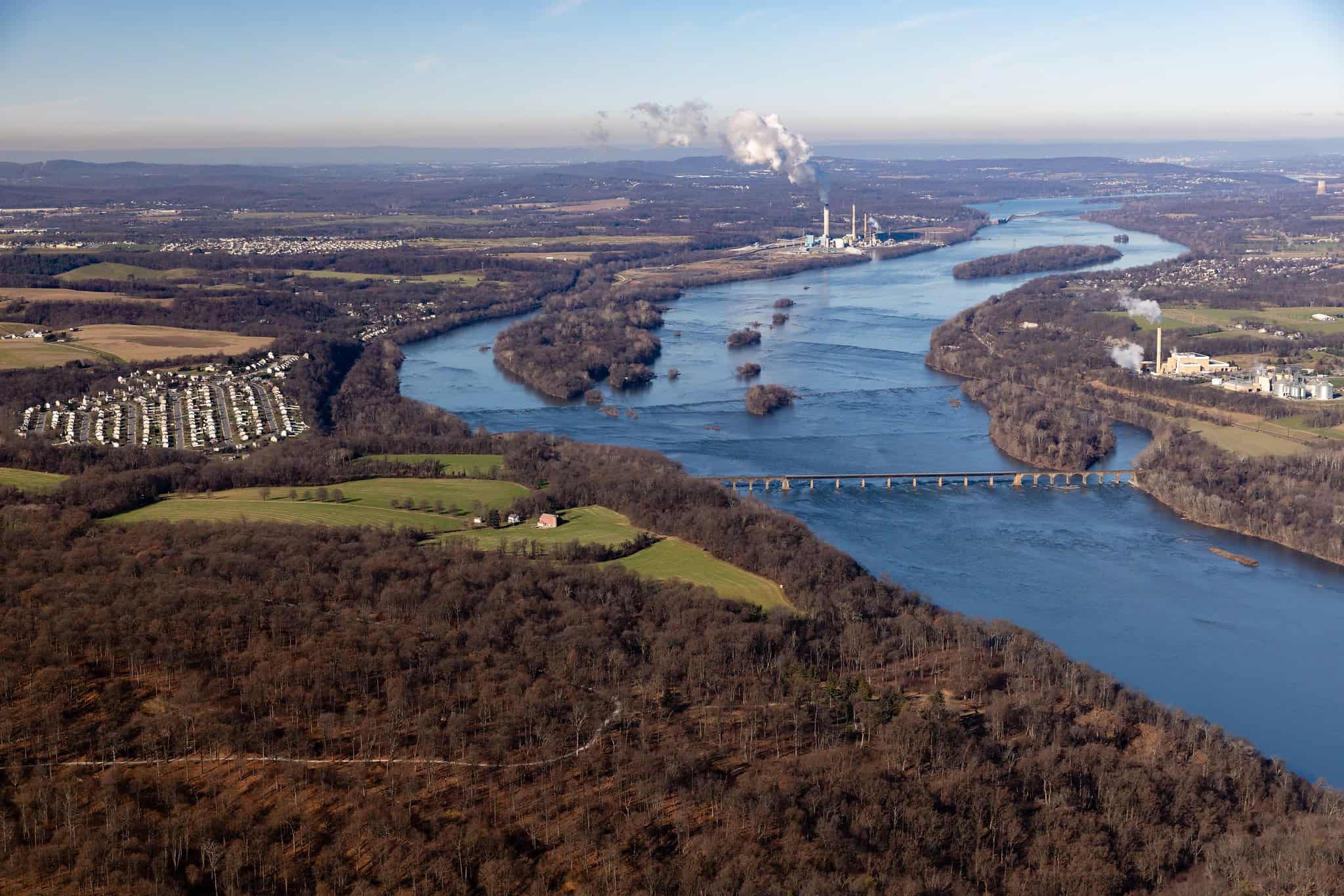
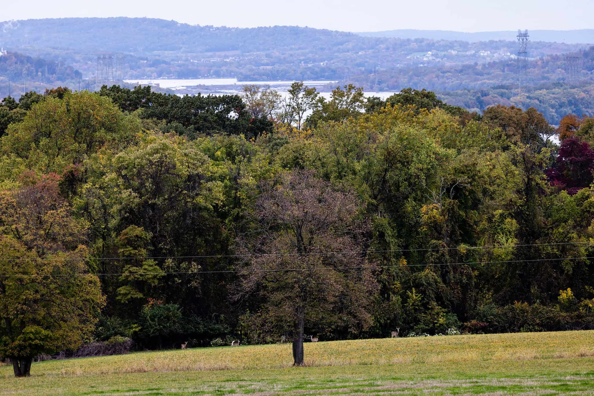
Located 6 -miles northwest of Wrightsville, PA in York County, Susquehanna Riverlands State Park spans 1,044-acres along the confluence of Codorus Creek with the scenic Susquehanna River. Thanks to its proximity to the river and creek, the state park boasts about 2.5 miles of waterfront views. Along this expanse, a notable feature of this park are the many rock outcropping vistas overlooking the river. One spot worth visiting is Schull’s Rock Overlook, which offers a stunning view of the Susquehanna River.
Adding to Susquehanna State Park’s allure, a 2.75-mile segment of the Mason-Dixon Trail weaves through the park, connecting the Appalachian Trail at Whiskey Springs in Cumberland County with Chadds Ford along the Brandywine River.

Photos by Rusty Glessner from PA Bucket List
Be mindful that private residences within the park boundaries are close to all foot traffic. Furthermore, all agricultural fields in crop production are off-limits to foot traffic. Open recreational pathways are marked on the park map, some following existing roadways.
Parking and Trail Access
Convenient parking facilities are available, with a larger parking lot situated at the entrance of Mount Pisgah and a smaller parking lot on the far side of Mount Pisgah. Well-maintained trails from both lots offer easy access to the park’s scenic wonders. If you are coming from I-83, take exit 24 onto PA-238 toward Emigsville. Turn left onto Starview Road, followed by a left onto PA-24 north. Make a right onto Codorus Furnace Road and then a left onto River Farm Road. After 0.5-mile, the parking area is on the left.
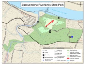
The map shows the roads around Susquehanna Riverlands State Park.
Information and Map courtesy of PA DCNR
Amenities
The park offers hiking trails with river views and several overlooks like Schull’s Rock. Trails follow marked paths, some along roads, and visitors can enjoy peaceful waterfront scenery. The park has developed facilities but does not offer campsites, with access mainly intended for day use and hiking.