


At a Glance
Samuel S. Lewis State Park is an 85-acre park in York County known for its scenic beauty, open spaces, and panoramic views. Centered around Mount Pisgah, the highest point in the area, the park offers peaceful green spaces, wooded trails, and overlooks of the Susquehanna River Valley. It’s a great destination for hiking, sightseeing, and casual outdoor recreation.
Description
Located in York County, Samuel S. Lewis State Park spans 85-acres, serving not only as a natural sanctuary but also as a living testament to conservation history. It is named in honor of conservationist Samuel S. Lewis, former Secretary of the Pennsylvania Department of Forest and Waters from 1951-1954, who, at the end of his term, donated 35-acres of his farm to the Commonwealth of Pennsylvania.
Today, the park is characterized by the commanding presence of Mount Pisgah, an 885-foot-high ridge separating Kreutz Creek Valley to the north and East Prospect Valley to the south.
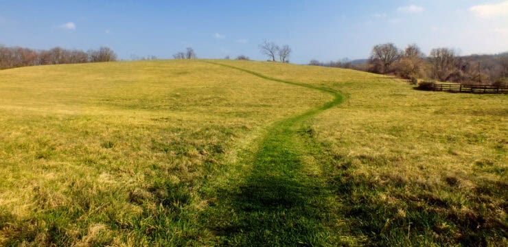
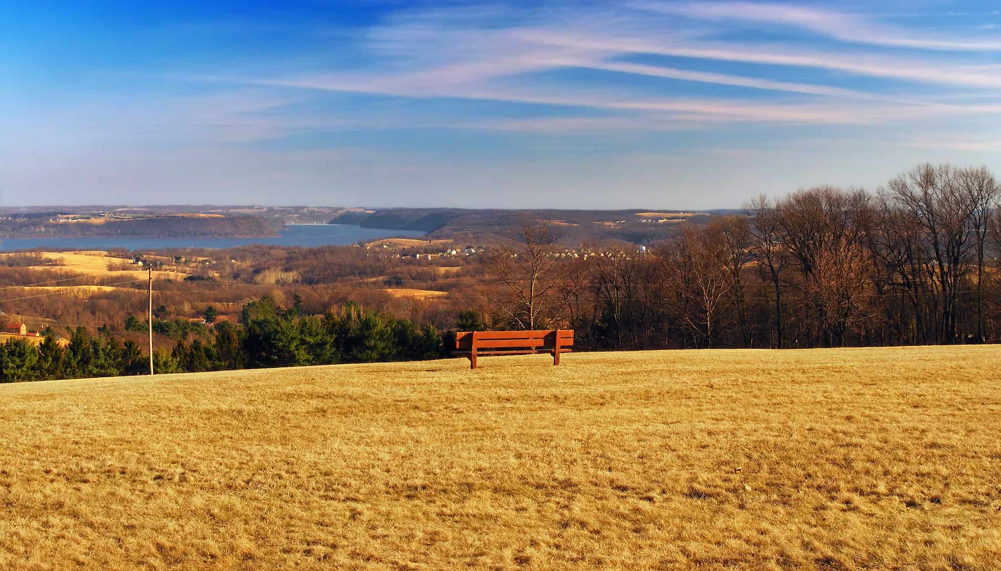
Meticulously mowed grass fields grace the northern and eastern slopes, with a pine plantation to the north, and mature woods in the western section. Offing a breathtaking panorama, Mount Pisgah stands as the area’s highest point, providing visitors with a spectacular view of the surrounding Susquehanna River Valley, adorned with towns and fertile farmlands.
Samuel S. Lewis State Park also offers a range of hiking experiences, with trails of varying difficulty levels. For those seeking an easier stroll, the Black Trail provides a short 0.4-mile loop through a diverse hardwood forest, complemented by a nine-hole disc golf course. The Nature Trail is also easy, spanning 0.3-miles and featuring mature hardwood trees, ferns, and wildflowers.

Photo by Gerry Dincher
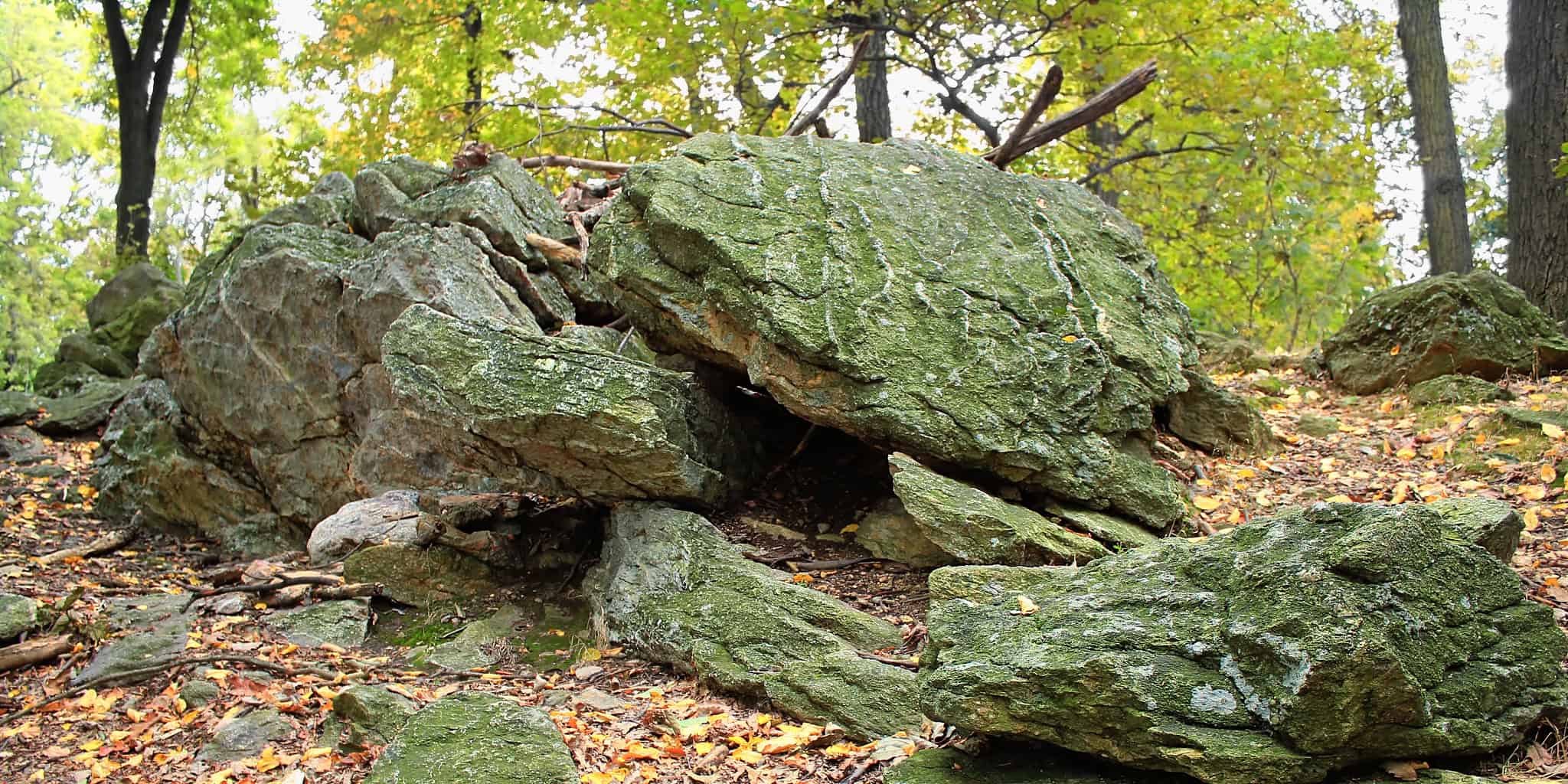
A little more difficulty, the Fire Trail presents a 0.5-mile connector trail through a pleasant stand of poplar trees. For a longer hike, the Hilltop Trail winds through a pine plantation, captivating rock formations, and offers a scenic view of the Susquehanna River, covering 1.2 miles. The Shortcut Trail is the easiest 0.2-mile out-and-back trail on the lower side of the park, providing a shorter loop option when combined with the Hilltop Trail. With varying landscapes and scenic viewpoints, Samuel S. Lewis State Park ensures a fulfilling hiking experience for visitors of all skill levels.

Samuel S. Lewis State Park Map
Information and Map courtesy of PA DCNR
Parking and Trail Access
Parking at Samual S. Lewis State Park is available near Mt. Pisgah Road, providing convenient access to the park’s facilities and trails. To reach the park from the Wrightsville exit of US 30, travel south on Cool Creek Road for 1.5-miles until you reach Mt. Pisgah Road and the park.

This circular map shows the roads around Samuel S Lewis State Park.
Information and Map courtesy of PA DCNR
Amenities
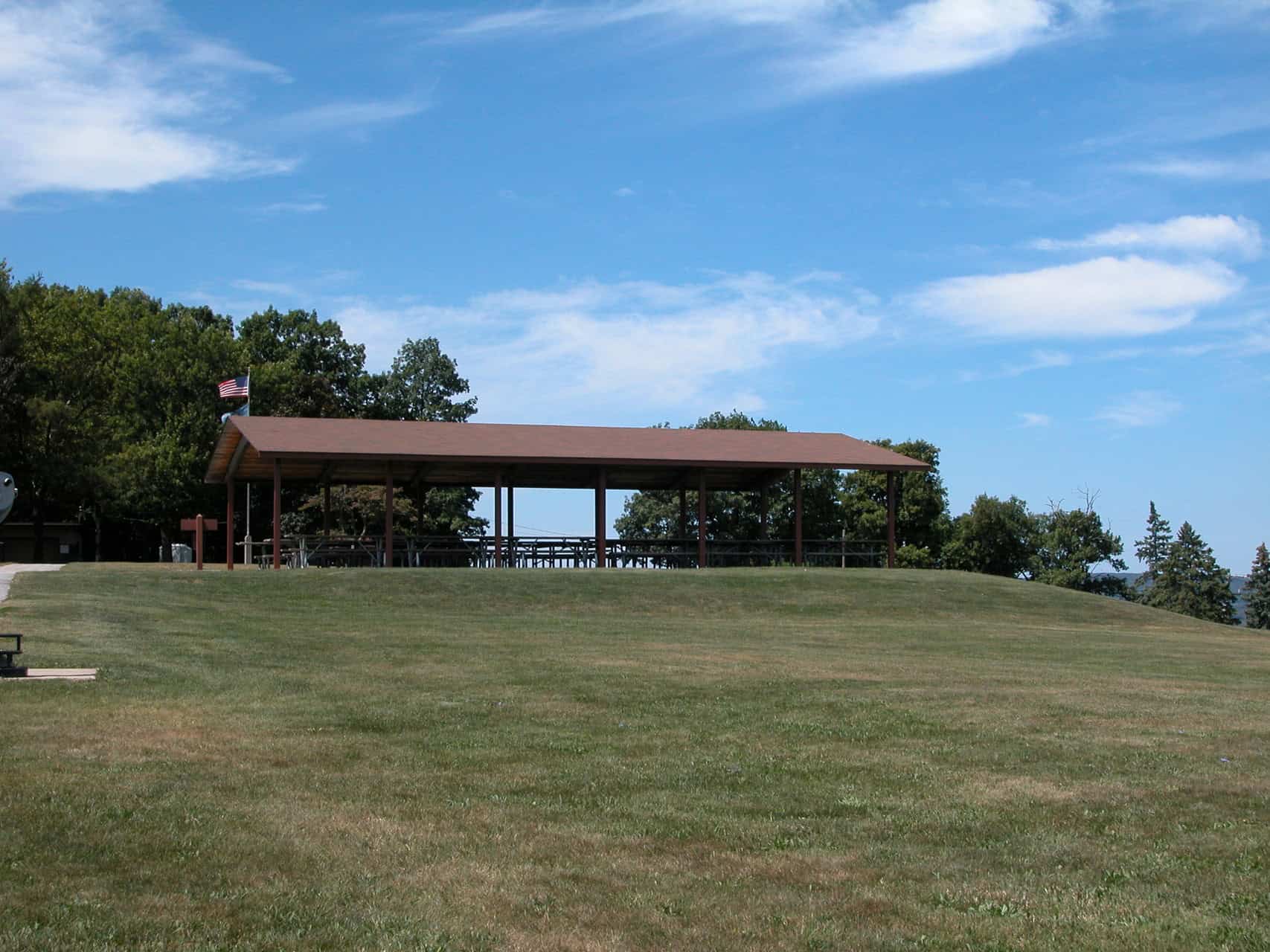
The park includes several hiking trails of varying difficulty, a nine-hole disc golf course, scenic overlooks, large grassy areas, and shaded picnic spots. Visitors can enjoy trails through hardwood forests and pine plantations, explore unique rock formations, and take in sweeping views from Mount Pisgah.